Hollins
Settlement in Lancashire
England
Hollins

The requested URL returned error: 429 Too Many Requests
If you have any feedback on the listing, please let us know in the comments section below.
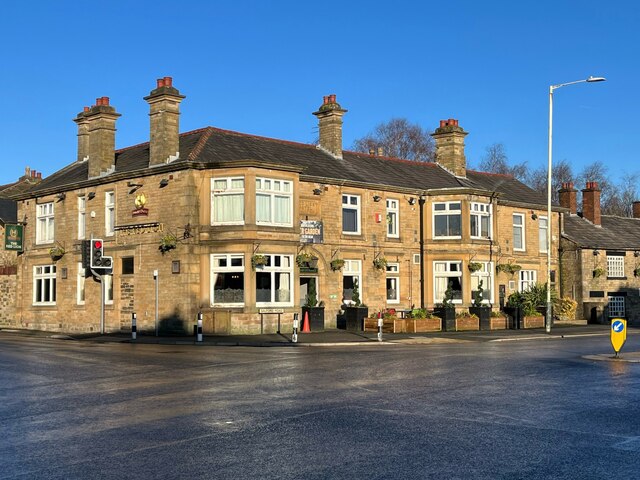
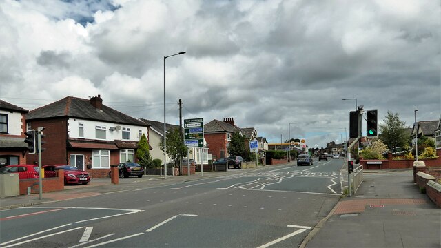
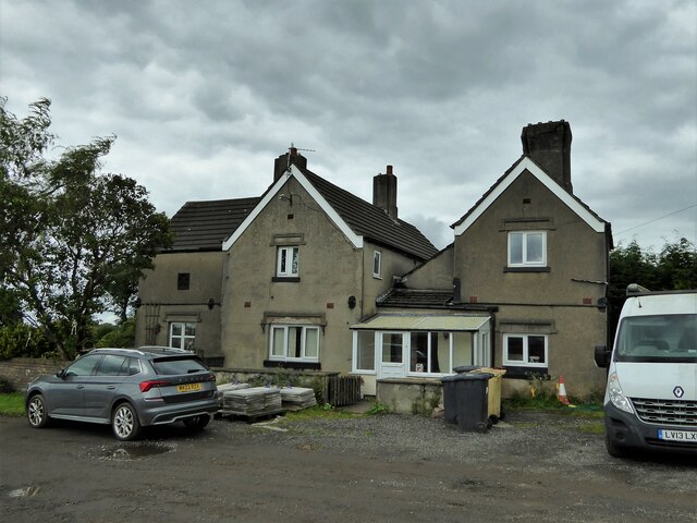
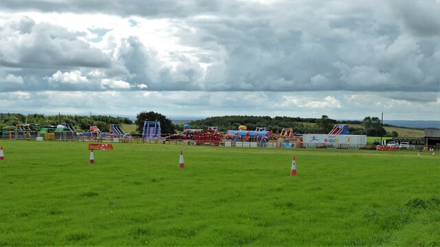
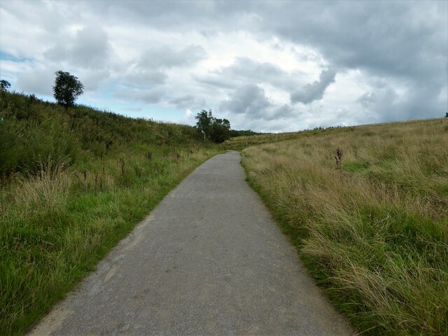
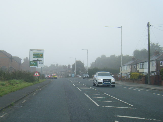
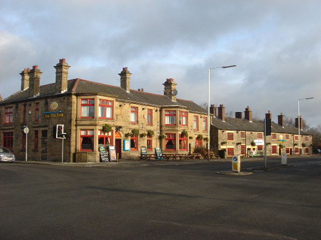
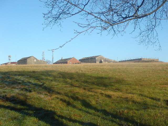
Hollins Images
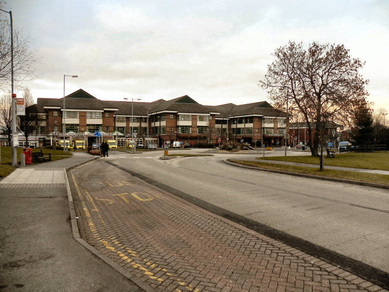
Images are sourced within 2km of 53.548914/-2.440678 or Grid Reference SD7005. Thanks to Geograph Open Source API. All images are credited.


Hollins is located at Grid Ref: SD7005 (Lat: 53.548914, Lng: -2.440678)
Unitary Authority: Bolton
Police Authority: Greater Manchester
What 3 Words
///highs.begin.loops. Near Little Hulton, Manchester
Related Wikis

Essa Academy
Essa Academy (formerly Hayward Grammar School) is a coeducational secondary school with academy status located in the Great Lever area of Bolton in the...
Royal Bolton Hospital
The Royal Bolton Hospital is an acute general hospital in Farnworth, Greater Manchester. It is managed by the Bolton NHS Foundation Trust. == History... ==
Plodder Lane engine shed
Plodder Lane engine shed was built by the LNWR to coincide with expanding its operations in the Bolton area in the 1870s and in particular the opening...
Plodder Lane railway station
Plodder Lane railway station served the southern part of Bolton and the western, Highfield, part of Farnworth. The station was located on the southern...
Nearby Amenities
Located within 500m of 53.548914,-2.440678Have you been to Hollins?
Leave your review of Hollins below (or comments, questions and feedback).