Redwick
Settlement in Monmouthshire
Wales
Redwick
Redwick is a small village located in the Monmouthshire county of Wales, United Kingdom. Situated near the coast, it lies approximately 10 miles east of the city of Newport. Redwick is a rural community with a population of around 500 people.
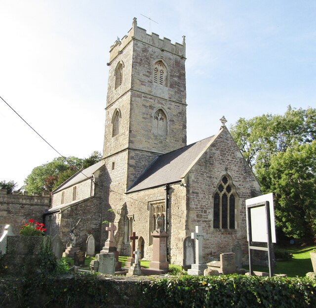
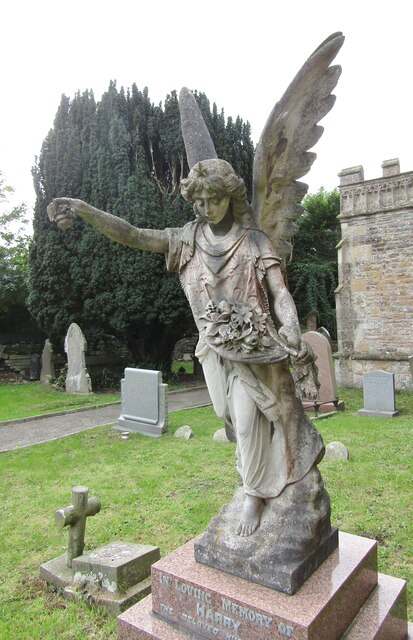
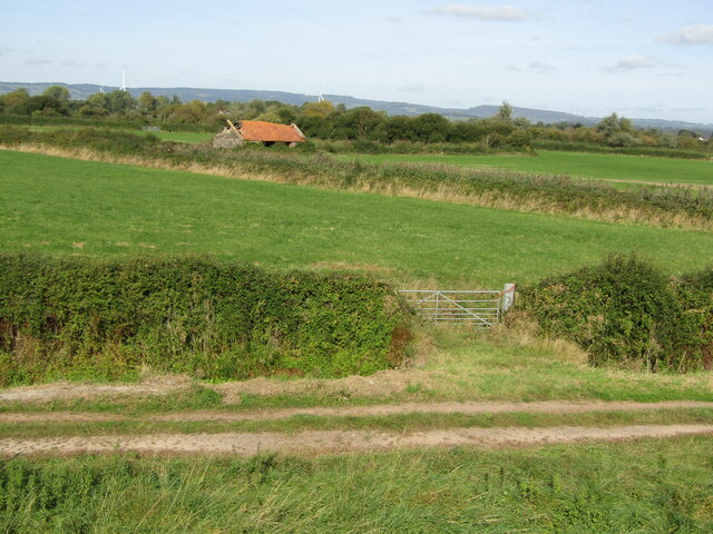
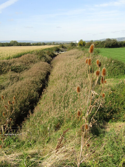
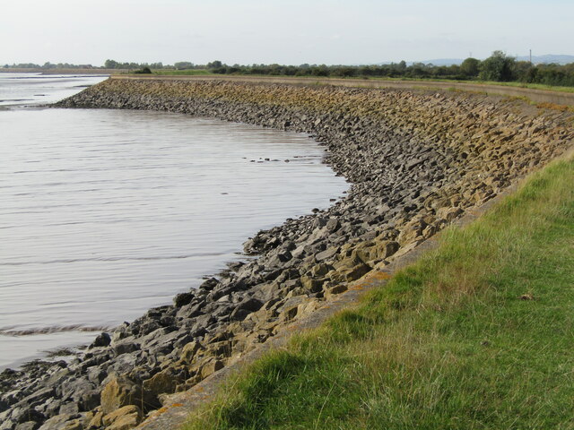
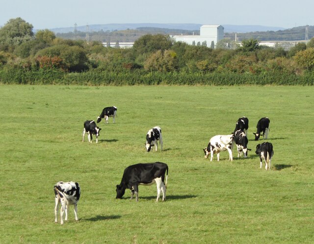
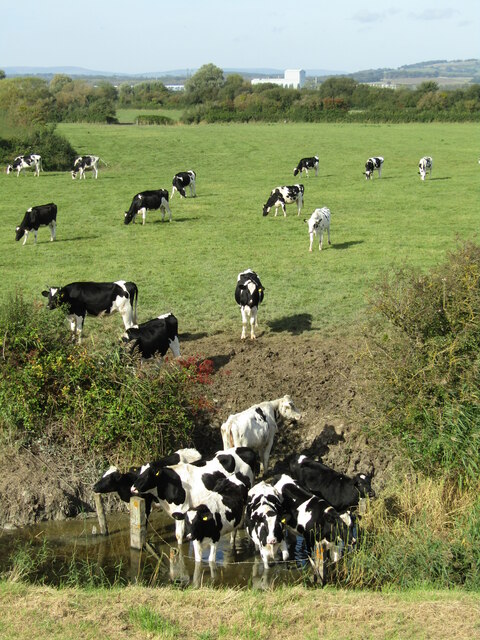
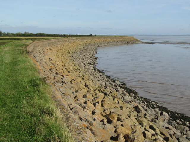
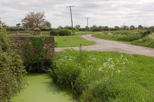
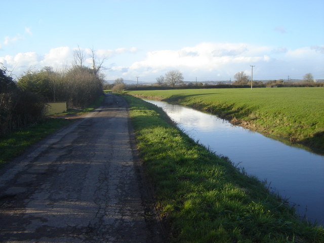
The village is known for its picturesque setting, surrounded by beautiful countryside and farmland. It offers a peaceful and tranquil environment for its residents, with a strong sense of community spirit. Redwick has a rich history dating back to the medieval period, and some of its historic buildings still stand today, including the Grade II listed St. Thomas a Becket Church.
The village is well connected to nearby towns and cities through a network of roads, making it easily accessible for both residents and visitors. The nearby M4 motorway provides convenient links to major cities such as Bristol and Cardiff.
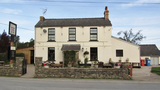
Redwick is also home to a primary school, providing education for the local children. Additionally, there are several amenities within close proximity, including a village hall and a local pub, offering a range of social and recreational activities for residents.
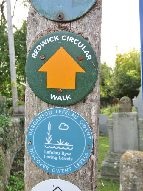
The surrounding area offers ample opportunities for outdoor activities, including walking, cycling, and birdwatching. The nearby Caldicot Castle and Country Park is a popular attraction, providing a perfect setting for family outings and historical exploration.
In conclusion, Redwick is a charming village in Monmouthshire, offering a peaceful rural lifestyle, a rich history, and beautiful natural surroundings.
If you have any feedback on the listing, please let us know in the comments section below.
Redwick Images
Images are sourced within 2km of 51.556192/-2.846156 or Grid Reference ST4184. Thanks to Geograph Open Source API. All images are credited.

Redwick is located at Grid Ref: ST4184 (Lat: 51.556192, Lng: -2.846156)
Unitary Authority: Newport
Police Authority: Gwent
Also known as: Y Redwig
What 3 Words
///disbanded.orbited.hungry. Near Redwick, Newport
Related Wikis

Church of St Thomas, Redwick
The Church of St Thomas is the parish church of the village of Redwick, to the south east of the city of Newport, South Wales, Great Britain. A medieval...
Redwick, Newport
Redwick (Welsh: Y Redwig) is a small village and community (parish) to the south east of the city of Newport, in Wales, United Kingdom. It lies within...
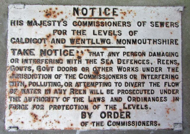
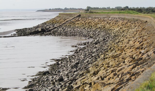
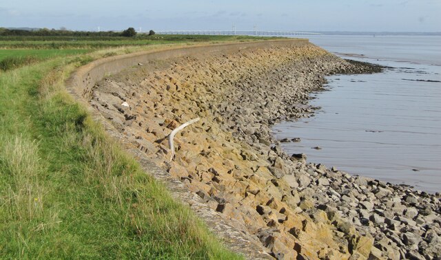
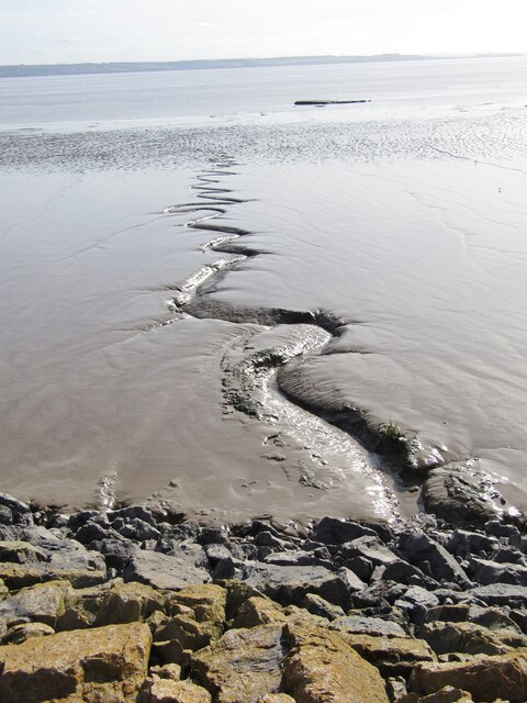
Caldicot and Wentloog Levels
The Caldicot and Wentloog Levels are two areas of low-lying estuarine alluvial wetland and intertidal mudflats adjoining the north bank of the Severn Estuary...

Magor Marsh
Magor Marsh is a 36-hectare (90-acre) wetland reserve, located on the Welsh side of the Severn Estuary. It is managed by the Gwent Wildlife Trust. It has...
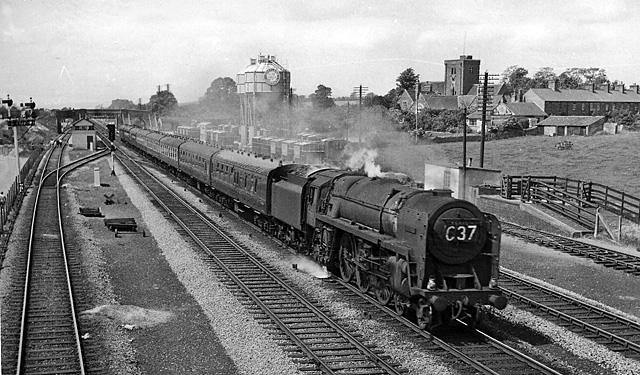
Magor railway station
Magor railway station is a former station serving Magor, Monmouthshire, east of the city of Newport and west of Caldicot. It was opened as a broad gauge...

St Mary's Church, Magor
The Church of St Mary stands in the centre of the village of Magor, Monmouthshire, Wales. It was designated a Grade I listed building in 1963. The church...
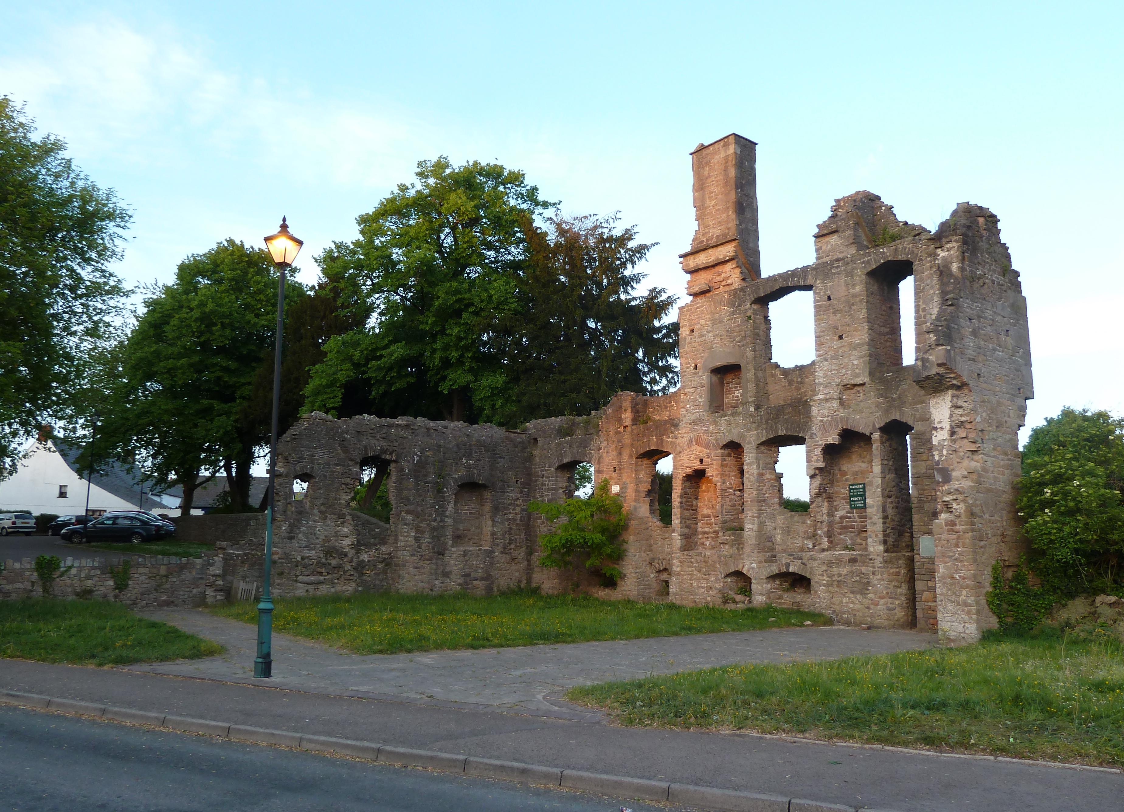
The Procurator's House, Magor
The Procurator's House in Magor, Monmouthshire, Wales, is a large, ruined mansion of the sixteenth-century, standing next to St Mary's Church in the centre...
Magor, Monmouthshire
Magor (English: ; Welsh: Magwyr) is a large village in Monmouthshire, south east Wales, about 9 miles (14 km) west of Chepstow and about 9 miles (14 km...
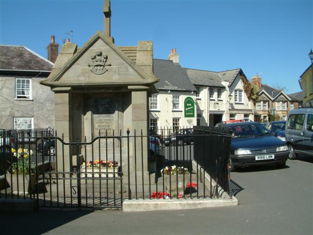
Nearby Amenities
Located within 500m of 51.556192,-2.846156Have you been to Redwick?
Leave your review of Redwick below (or comments, questions and feedback).