Y Redwig
Settlement in Monmouthshire
Wales
Y Redwig
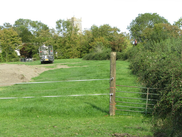
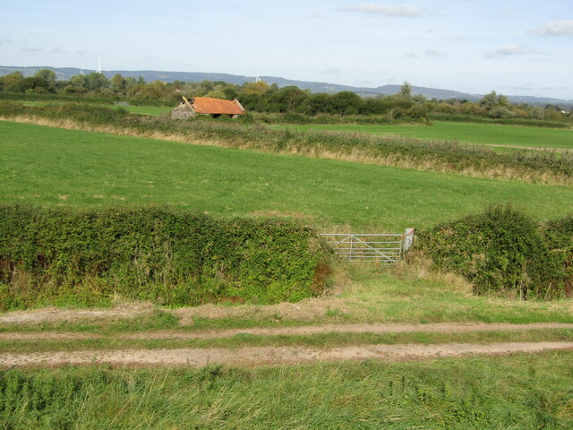
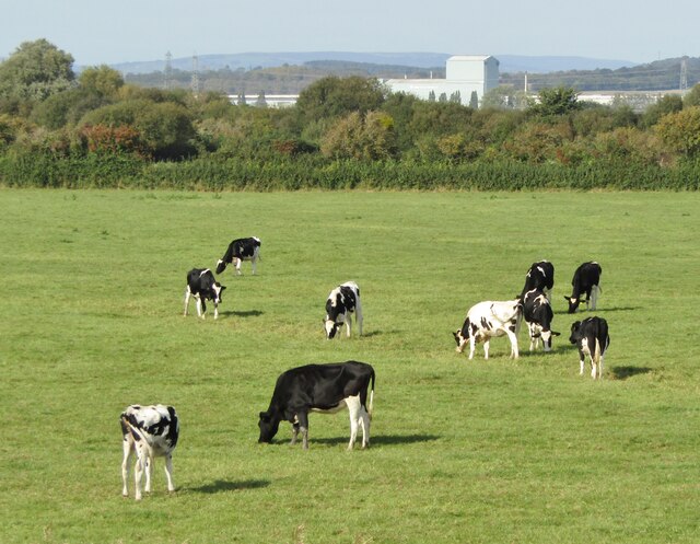
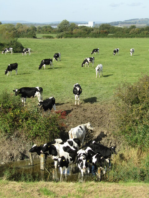
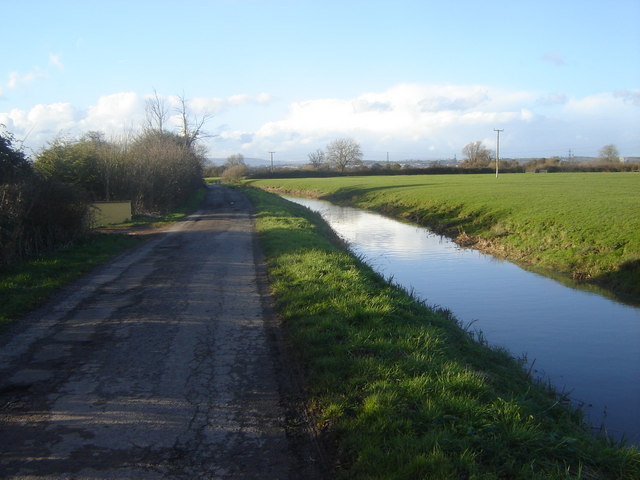
Y Redwig is a small village located in Monmouthshire, Wales. Situated in the eastern part of the county, it lies about 5 miles north of the town of Monmouth. The village is nestled in a picturesque valley, surrounded by rolling hills and green meadows, offering stunning views of the countryside.
Y Redwig is a close-knit community with a population of around 300 residents. The village exudes a peaceful and tranquil ambiance, making it an ideal place for those seeking a quiet and rural lifestyle. The village is characterized by charming cottages and stone houses, which add to its idyllic charm.
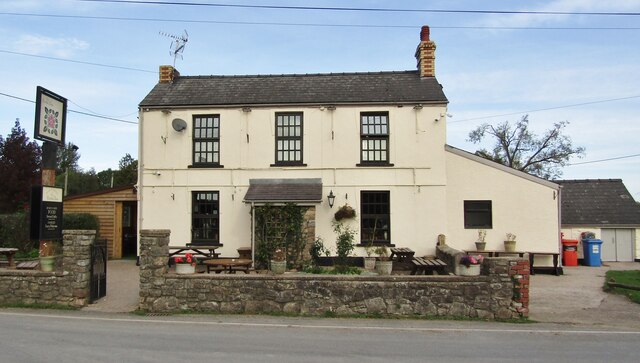
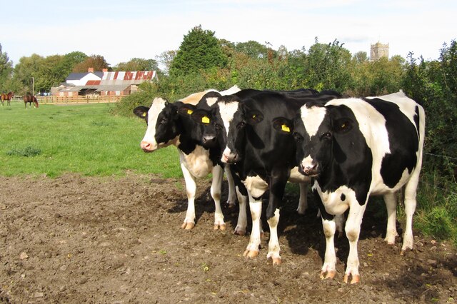
Despite its small size, Y Redwig is well-served by a range of amenities. The village has a local pub, which serves as a social hub for residents and visitors alike. Additionally, there is a small convenience store that caters to the daily needs of the community. For recreational activities, Y Redwig benefits from its proximity to the beautiful Monmouthshire countryside, offering opportunities for walking, cycling, and exploring the natural surroundings.
Y Redwig is also within easy reach of larger towns and cities. The town of Monmouth, with its wider range of amenities including shops, supermarkets, and schools, is just a short drive away. The city of Newport is also accessible within a reasonable distance, providing further employment and leisure opportunities.
In summary, Y Redwig is a charming village in Monmouthshire, offering a peaceful and rural lifestyle while still providing access to essential amenities and nearby towns.
If you have any feedback on the listing, please let us know in the comments section below.
Y Redwig Images
Images are sourced within 2km of 51.556192/-2.846156 or Grid Reference ST4184. Thanks to Geograph Open Source API. All images are credited.

Y Redwig is located at Grid Ref: ST4184 (Lat: 51.556192, Lng: -2.846156)
Unitary Authority: Newport
Police Authority: Gwent
Also known as: Redwick
What 3 Words
///disbanded.orbited.hungry. Near Redwick, Newport
Related Wikis

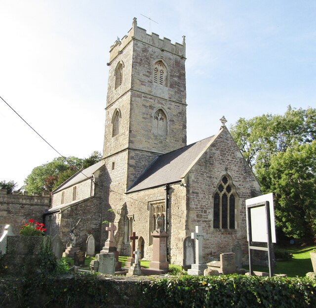
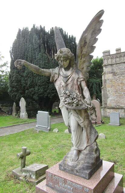
Church of St Thomas, Redwick
The Church of St Thomas is the parish church of the village of Redwick, to the south east of the city of Newport, South Wales, Great Britain. A medieval...
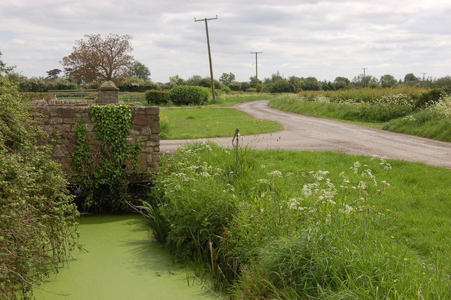
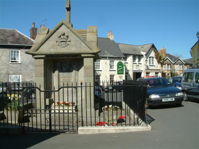
Redwick, Newport
Redwick (Welsh: Y Redwig) is a small village and community (parish) to the south east of the city of Newport, in Wales, United Kingdom. It lies within...
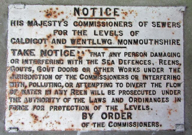
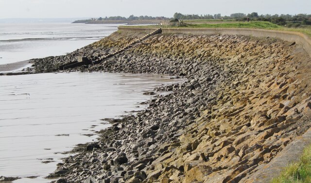
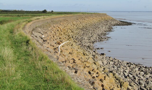
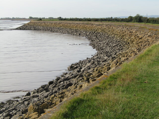
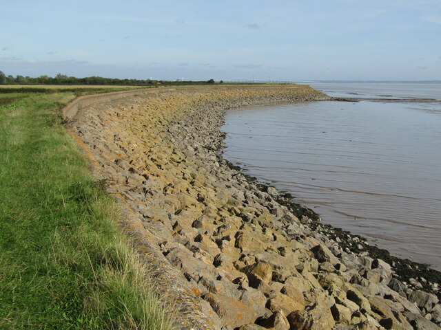
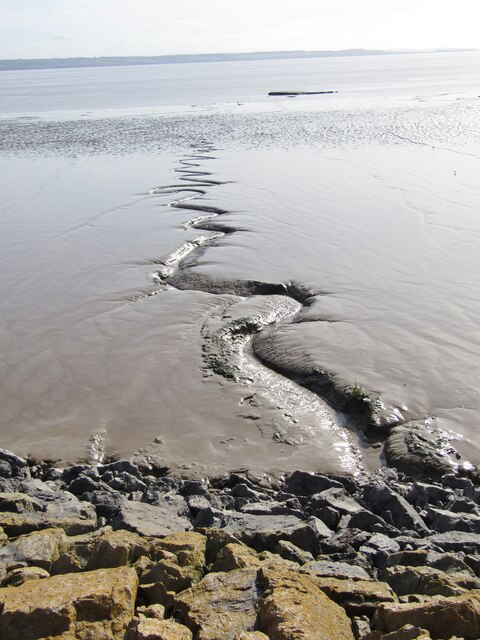
Caldicot and Wentloog Levels
The Caldicot and Wentloog Levels are two areas of low-lying estuarine alluvial wetland and intertidal mudflats adjoining the north bank of the Severn Estuary...

Magor Marsh
Magor Marsh is a 36-hectare (90-acre) wetland reserve, located on the Welsh side of the Severn Estuary. It is managed by the Gwent Wildlife Trust. It has...
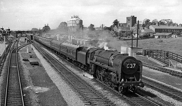
Magor railway station
Magor railway station is a former station serving Magor, Monmouthshire, east of the city of Newport and west of Caldicot. It was opened as a broad gauge...

St Mary's Church, Magor
The Church of St Mary stands in the centre of the village of Magor, Monmouthshire, Wales. It was designated a Grade I listed building in 1963. The church...
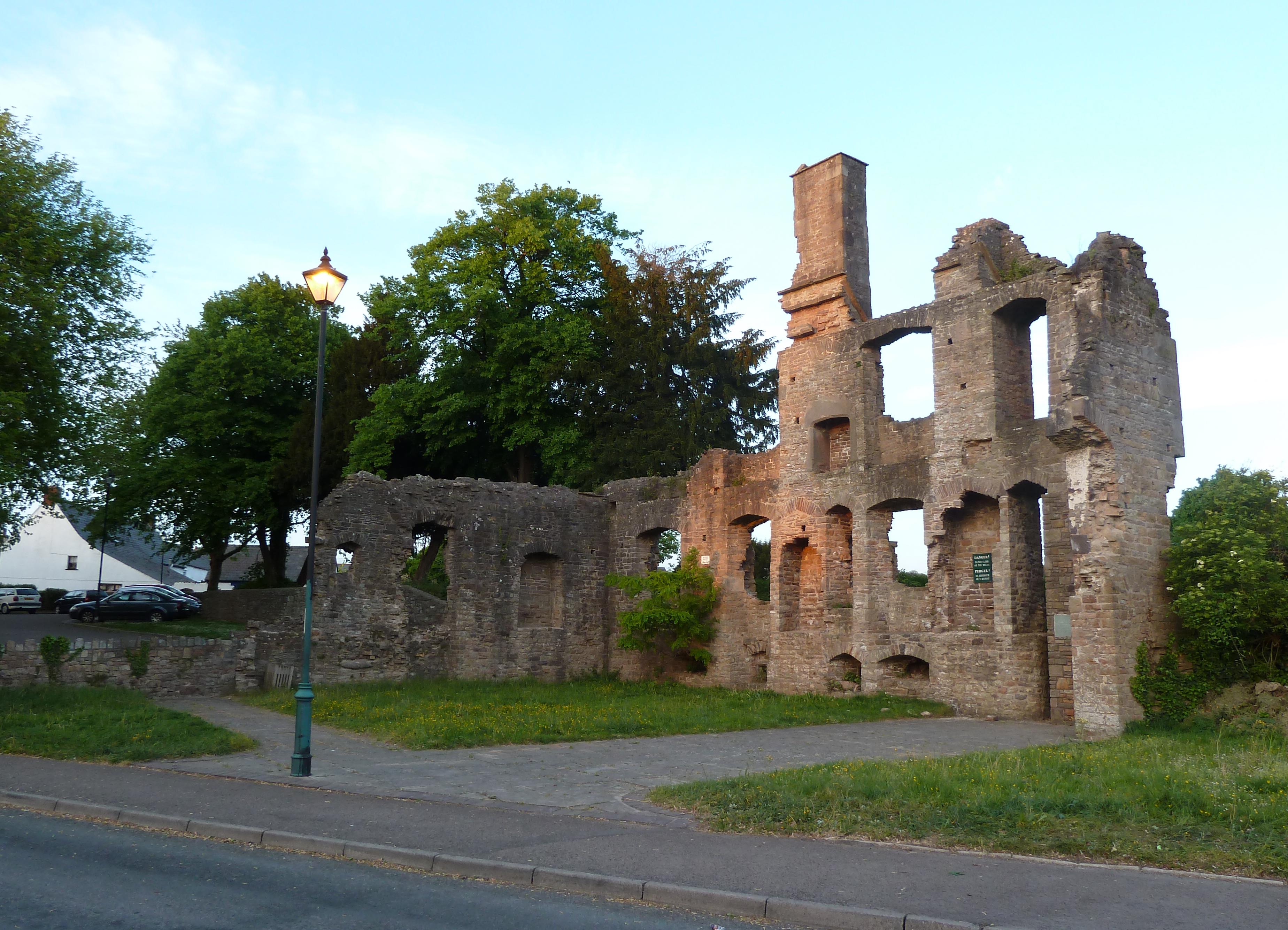
The Procurator's House, Magor
The Procurator's House in Magor, Monmouthshire, Wales, is a large, ruined mansion of the sixteenth-century, standing next to St Mary's Church in the centre...
Magor, Monmouthshire
Magor (English: ; Welsh: Magwyr) is a large village in Monmouthshire, south east Wales, about 9 miles (14 km) west of Chepstow and about 9 miles (14 km...
Nearby Amenities
Located within 500m of 51.556192,-2.846156Have you been to Y Redwig?
Leave your review of Y Redwig below (or comments, questions and feedback).