Plawsworth
Settlement in Durham
England
Plawsworth
Plawsworth is a small village located in County Durham, North East England. Situated approximately 3 miles south of Chester-le-Street, it is part of the Chester-le-Street Rural District. Plawsworth is a picturesque village with a population of around 400 residents.
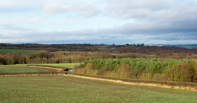
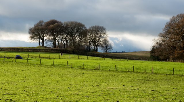
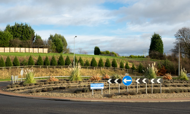
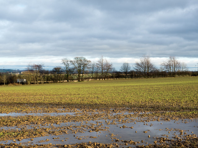
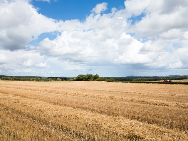
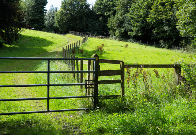
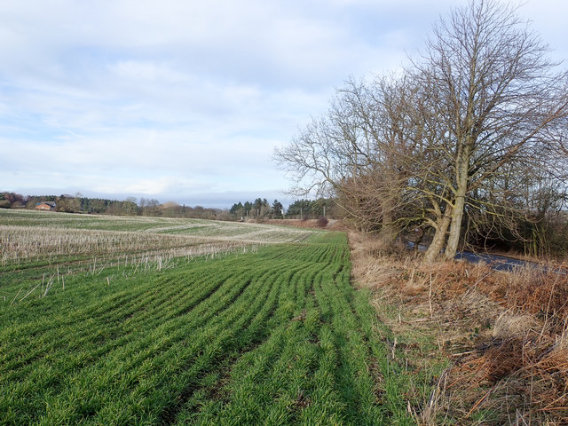
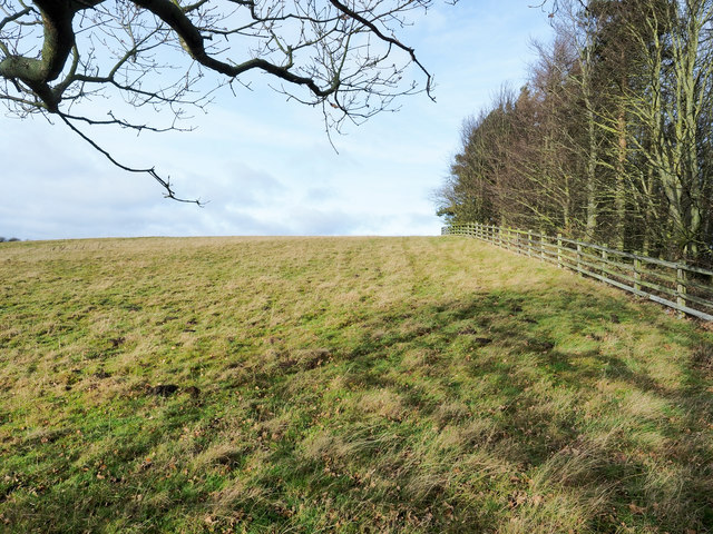
The village is surrounded by rolling countryside, offering beautiful views and a peaceful atmosphere. It is well-connected to nearby towns and cities, with easy access to the A167 and A1(M) motorway. The nearest train station is in Chester-le-Street, providing convenient transportation links to the wider region.
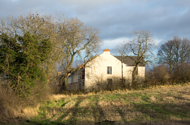
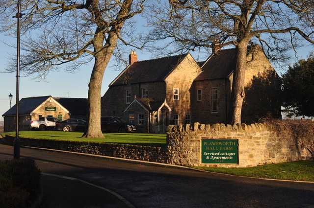
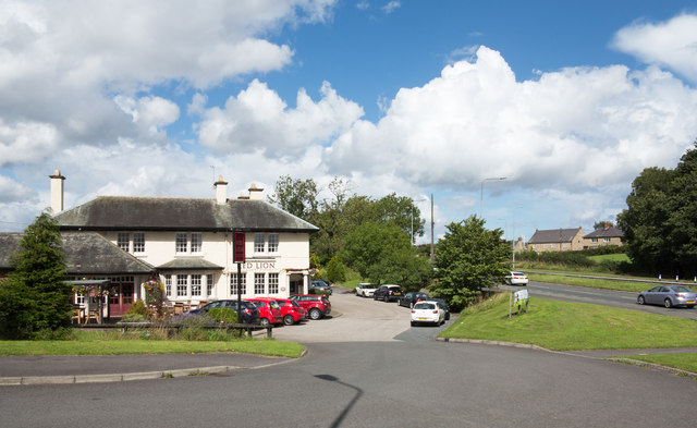
Plawsworth is known for its charming architecture, with a mixture of traditional stone-built houses and more modern residences. The village has a close-knit community, with several local amenities to cater to the needs of its residents. These include a village hall, a church, and a primary school. There are also a few local businesses, including a convenience store and a pub, providing essential services and a social hub for the villagers.
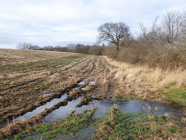
Nature enthusiasts will appreciate the proximity to the countryside, with plenty of walking and cycling opportunities in the surrounding area. Plawsworth is also within easy reach of several attractions, including Lumley Castle, Beamish Museum, and Durham Cathedral, making it an ideal base for those wanting to explore the wider region.
Overall, Plawsworth offers a tranquil and picturesque setting, with a strong sense of community and easy access to both rural and urban amenities.
If you have any feedback on the listing, please let us know in the comments section below.
Plawsworth Images
Images are sourced within 2km of 54.825629/-1.593451 or Grid Reference NZ2647. Thanks to Geograph Open Source API. All images are credited.
Plawsworth is located at Grid Ref: NZ2647 (Lat: 54.825629, Lng: -1.593451)
Unitary Authority: County Durham
Police Authority: Durham
What 3 Words
///reissued.doses.combos. Near Sacriston, Co. Durham
Nearby Locations
Related Wikis

Plawsworth
Plawsworth is a village and former civil parish, now in the parish of Kimblesworth and Plawsworth, in the County Durham district, in the ceremonial county...

Tan Hills
Tan Hills is a village in County Durham, in England. It is situated close to Sacriston, Kimblesworth and Nettlesworth, between Durham and Chester-le-Street...
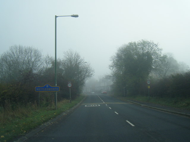
Nettlesworth
Nettlesworth is a small village in County Durham, in England. It is situated to the south of Chester-le-Street, near Sacriston. Nettlesworth is adjoined...
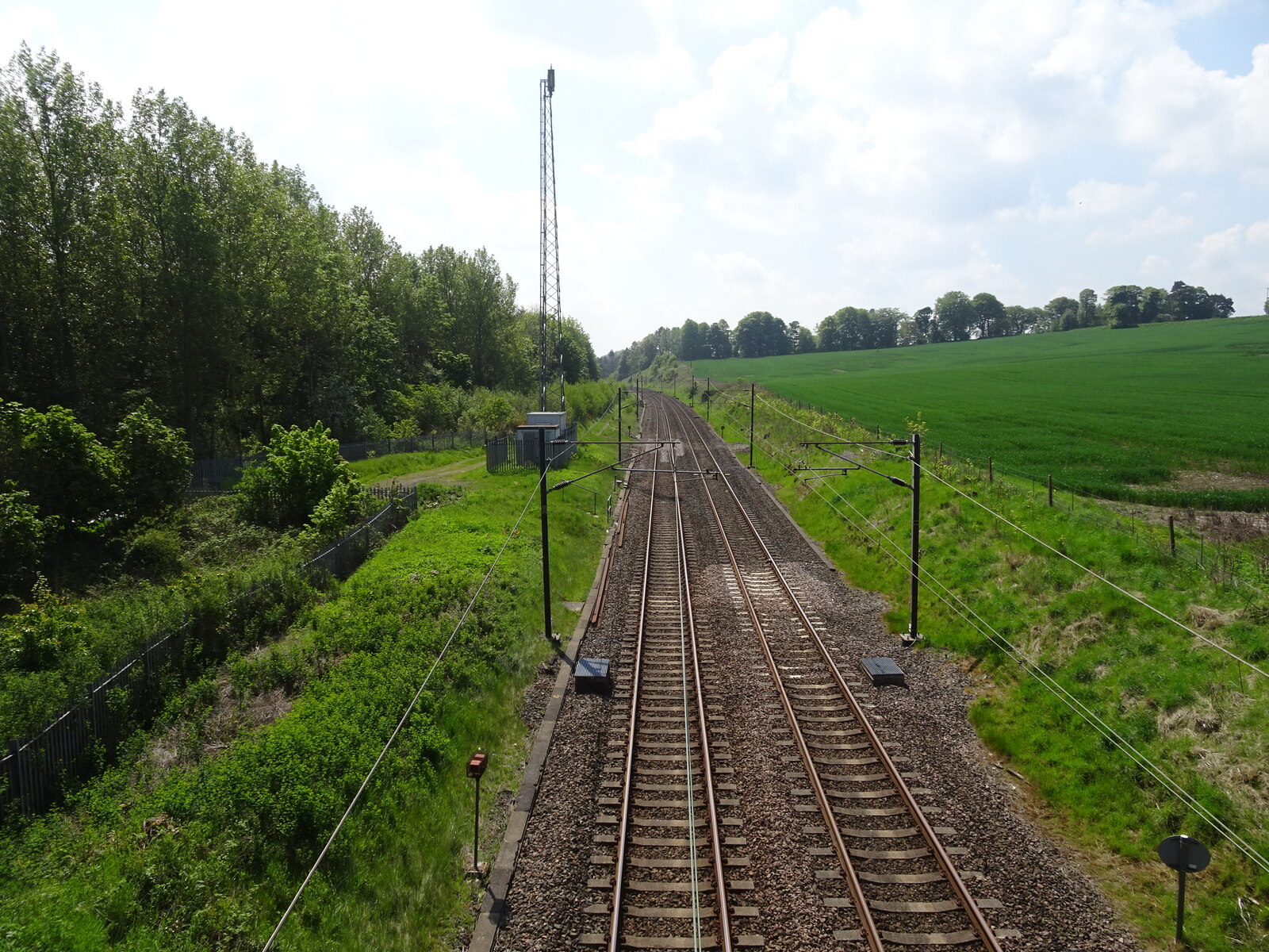
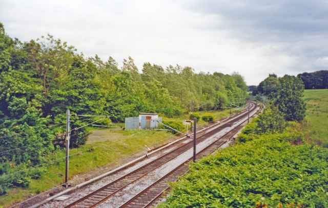
Plawsworth railway station
Plawsworth railway station served the village of Plawsworth, County Durham, England from 1868 to 1963 on the East Coast Main Line. == History == The station...

Kimblesworth
Kimblesworth is a village and former civil parish, now in the parish of Kimblesworth and Plawsworth, in the County Durham district, in the ceremonial county...
Chester-le-Street Town F.C.
Chester-le-Street Town Football Club is a football club based in Chester-le-Street, County Durham, England. They are currently members of the Northern...

Iveston
Iveston is a village in County Durham, England. It is situated a short distance to the east of Consett. Housing in the area consists of a mixture of traditional...

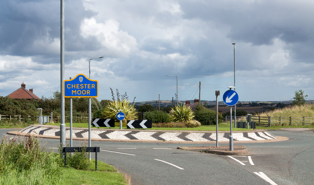
Chester Moor
Chester Moor is a village in County Durham, England. It is situated a short distance to the south of Chester-le-Street. == References ==
Nearby Amenities
Located within 500m of 54.825629,-1.593451Have you been to Plawsworth?
Leave your review of Plawsworth below (or comments, questions and feedback).