Spy Hill

Hill, Mountain in Durham

England

Spy Hill

B6312 at Nettlesworth village boundary
B6312 at Nettlesworth village boundary Credit: Colin Pyle

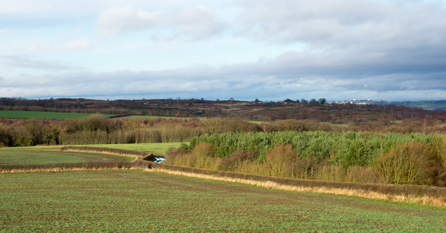
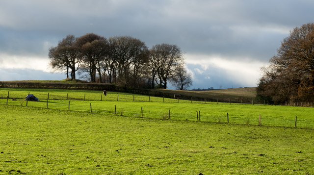
Spy Hill is a prominent geographical feature located in Durham County, nestled within the northeastern region of England. Standing at an elevation of approximately 207 meters (679 feet), this hill is part of the larger North Pennines Area of Outstanding Natural Beauty (AONB). Spy Hill offers breathtaking panoramic views of the surrounding countryside, making it a popular destination for hikers, nature enthusiasts, and photographers alike.

The hill is characterized by its gentle slopes and lush greenery, with a mix of grasslands, woodlands, and meadows dotting its landscape. These diverse habitats support a variety of flora and fauna, making Spy Hill an important ecological site within the region. Wildflowers, including heather and bluebells, can be found in abundance during the spring and summer months, creating a vibrant and colorful scenery.

Numerous footpaths and trails traverse Spy Hill, providing visitors with ample opportunities to explore its natural wonders. These paths cater to all levels of fitness and offer varying degrees of difficulty, ensuring that everyone can enjoy the beauty of the hill at their own pace. On clear days, the summit of Spy Hill offers stunning views that extend for miles, allowing visitors to see the nearby Durham Cathedral, the North Sea, and even the distant Pennine Mountains.

In addition to its natural beauty, Spy Hill also holds historical significance. The remains of ancient settlements, including Iron Age hillforts and Roman encampments, can be found on its slopes, providing glimpses into the area's rich past.

Overall, Spy Hill in Durham is a cherished natural landmark, offering both tranquility and adventure to those who venture to its heights.

If you have any feedback on the listing, please let us know in the comments section below.
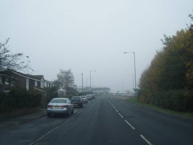
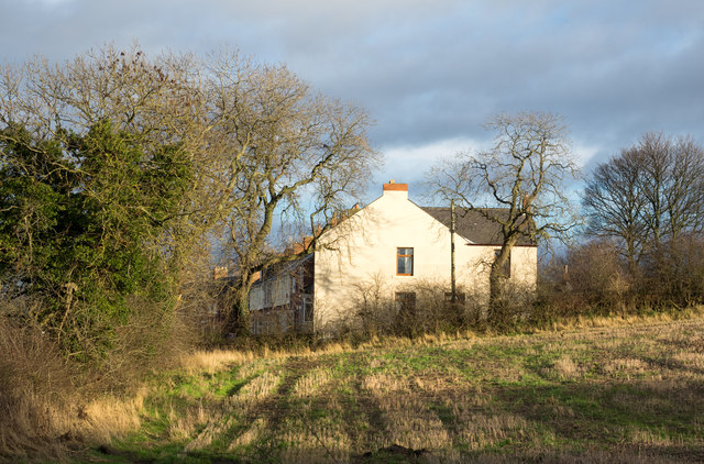
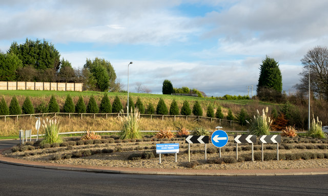
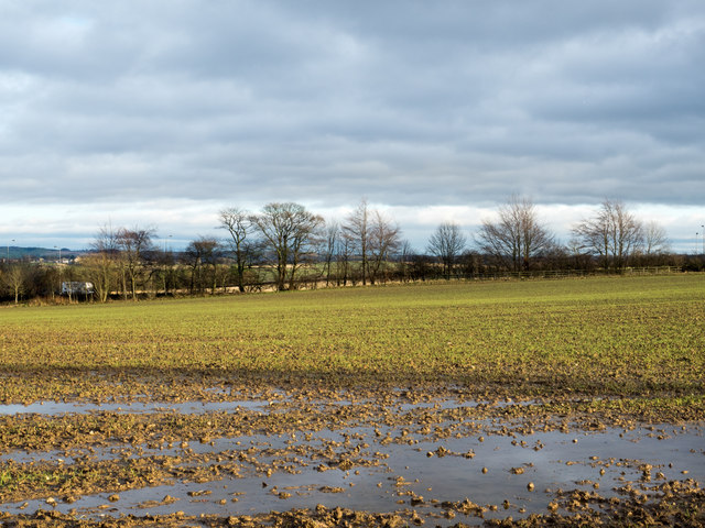
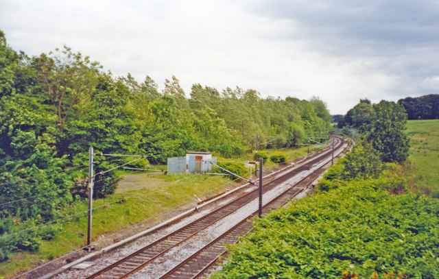
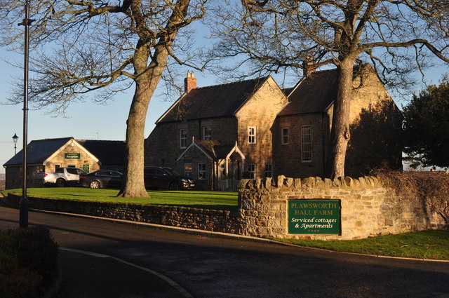
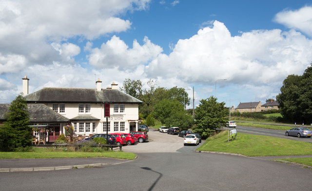
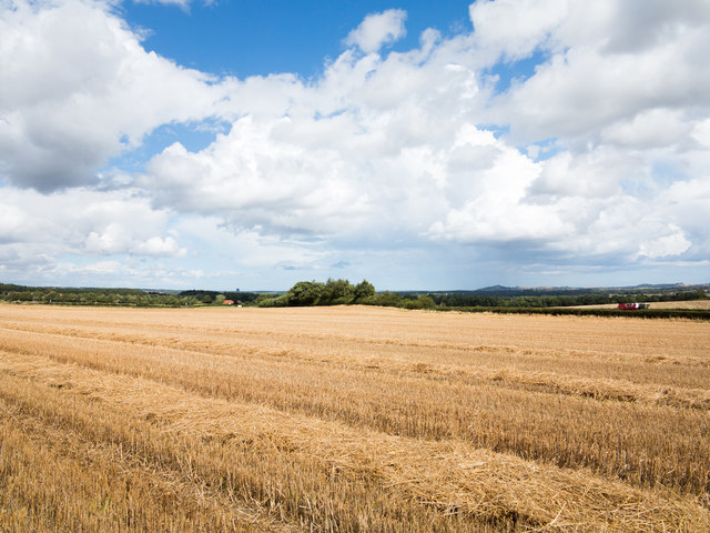
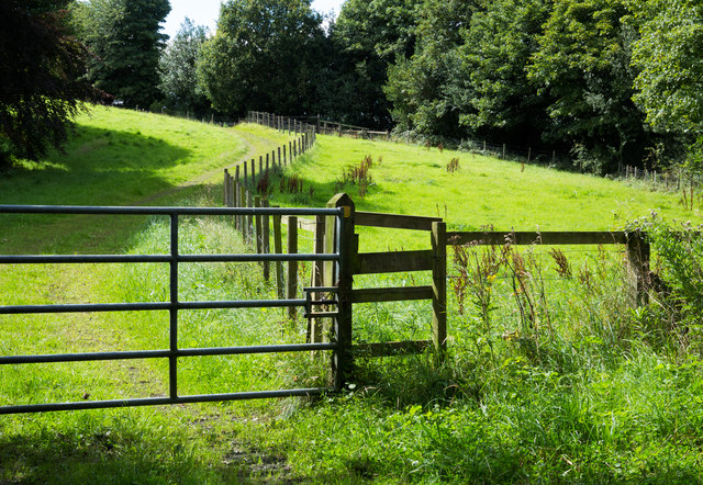
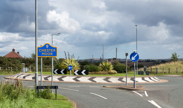
Spy Hill Images

Images are sourced within 2km of 54.820075/-1.5857362 or Grid Reference NZ2647. Thanks to Geograph Open Source API. All images are credited.

B6312 at Nettlesworth village boundary
B6312 nears A167 roundabout
Mill Lane passing under the East Coast Main Line
Chester Low Road nears ECML bridge
Pit Lane, Newton Hall
Field east of Sacriston The field lies to the north of the B6312 between Sacriston and Nettlesworth.
Field east of Sacriston
The field lies to the north of the B6312 between Sacriston and Nettlesworth.
House at west end of Nettlesworth The house is on the south side of the B6312 as it enters the village from the west; the road is immediately past the bush at the left side of the image.
House at west end of Nettlesworth
The house is on the south side of the B6312 as it enters the village from the west; the road is immediately past the bush at the left side of the image.
Fields west of Beaney Lane Beaney Lane is a minor road on the west side of the A167, north of Nettlesworth.
Fields west of Beaney Lane
Beaney Lane is a minor road on the west side of the A167, north of Nettlesworth.
Roundabout on A167 near Nettlesworth The roundabout is on the dual carriageway of the A167 just east of Nettlesworth from where the B6312 comes to join it. The notice tells that the roundabout is available for sponsorship!
Roundabout on A167 near Nettlesworth
The roundabout is on the dual carriageway of the A167 just east of Nettlesworth from where the B6312 comes to join it. The notice tells that the roundabout is available for sponsorship!
Waterlogged field beside Beaney Lane Beaney Lane is a minor road north of Nettlesworth; this field on its eastern side, along with the land all around,  is saturated with water following many weeks of above average rainfall.
Waterlogged field beside Beaney Lane
Beaney Lane is a minor road north of Nettlesworth; this field on its eastern side, along with the land all around, is saturated with water following many weeks of above average rainfall.
Site of Plawsworth station, ECML 2002 View southward, towards Ferryhill, Darlington and the South on the ex-NER Darlington - Newcastle section of the ECML, electrified 1987. Plawsworth station was closed to passengers 7/4/52, to goods 30/9/63.
Site of Plawsworth station, ECML 2002
View southward, towards Ferryhill, Darlington and the South on the ex-NER Darlington - Newcastle section of the ECML, electrified 1987. Plawsworth station was closed to passengers 7/4/52, to goods 30/9/63.
Retail outlets at The Arnison Centre At Pity Me on the northern fringe of Durham.
Retail outlets at The Arnison Centre
At Pity Me on the northern fringe of Durham.
Plawsworth Hall
Plawsworth Hall
The Red Lion at Plawsworth The Red lion at Plawsworth stands beside the A167 which was once the A1, Great North Road.
Red Lion is one of the most common names for a pub; Wikipedia tells, (August 2017), that the British Beer and Pub Association records it as the most popular with 759 having that name, whilst CAMRA has it in second place with 668.
The Red Lion at Plawsworth
The Red lion at Plawsworth stands beside the A167 which was once the A1, Great North Road. Red Lion is one of the most common names for a pub; Wikipedia tells, (August 2017), that the British Beer and Pub Association records it as the most popular with 759 having that name, whilst CAMRA has it in second place with 668.
Stubble field adjacent to Beaney Lane The field is in the angle formed between Beaney Lane and the A167 south of Chester-le-Street.
Stubble field adjacent to Beaney Lane
The field is in the angle formed between Beaney Lane and the A167 south of Chester-le-Street.
Public footpath alongside fence The path is one of a number crossing land in the area north of Nettlesworth and close to Felledge Farm; the farm is on the other side of the right hand trees.
Public footpath alongside fence
The path is one of a number crossing land in the area north of Nettlesworth and close to Felledge Farm; the farm is on the other side of the right hand trees.
Roundabout on Waldridge Lane The roundabout is at a crossing of minor roads close to the A167 at Chester Moor as the blue and yellow road sign, typical of many in County Durham, indicates. Chester Moor is a small settlement close to Chester-le-Street.
Roundabout on Waldridge Lane
The roundabout is at a crossing of minor roads close to the A167 at Chester Moor as the blue and yellow road sign, typical of many in County Durham, indicates. Chester Moor is a small settlement close to Chester-le-Street.
Front Street in Pity Me, Durham
Show me another place!

Spy Hill is located at Grid Ref: NZ2647 (Lat: 54.820075, Lng: -1.5857362)

Unitary Authority: County Durham

Police Authority: Durham

What 3 Words

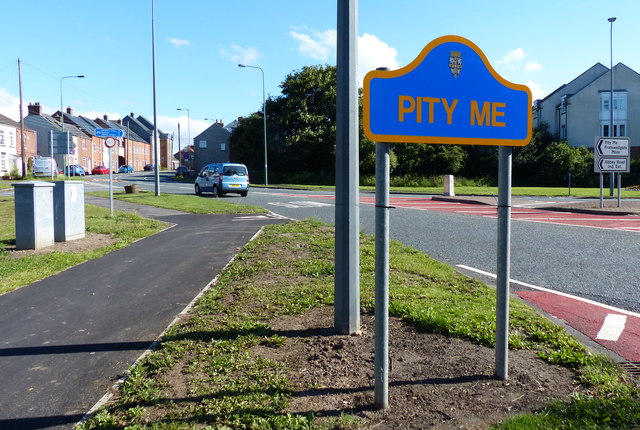
///shakes.liberated.musically. Near Sacriston, Co. Durham

Related Wikis

Plawsworth

Plawsworth is a village and former civil parish, now in the parish of Kimblesworth and Plawsworth, in the County Durham district, in the ceremonial county...

Kimblesworth

Kimblesworth is a village and former civil parish, now in the parish of Kimblesworth and Plawsworth, in the County Durham district, in the ceremonial county...

Plawsworth railway station

Plawsworth railway station served the village of Plawsworth, County Durham, England from 1868 to 1963 on the East Coast Main Line. == History == The station...

Tan Hills

Tan Hills is a village in County Durham, in England. It is situated close to Sacriston, Kimblesworth and Nettlesworth, between Durham and Chester-le-Street...
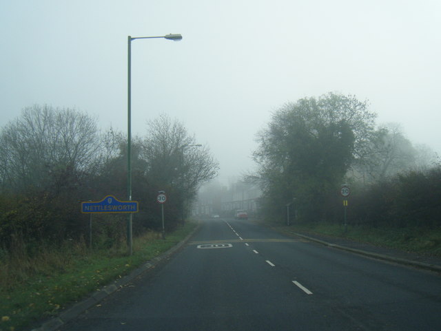
Nettlesworth

Nettlesworth is a small village in County Durham, in England. It is situated to the south of Chester-le-Street, near Sacriston. Nettlesworth is adjoined...

Chester-le-Street Town F.C.

Chester-le-Street Town Football Club is a football club based in Chester-le-Street, County Durham, England. They are currently members of the Northern...

Iveston

Iveston is a village in County Durham, England. It is situated a short distance to the east of Consett. Housing in the area consists of a mixture of traditional...

Chester Moor

Chester Moor is a village in County Durham, England. It is situated a short distance to the south of Chester-le-Street. == References ==

Related Videos

Walk through Pity Me Carrs Nature reserve

Today we discovered this gorgeous walk , come And enjoy it with us !

Premier Inn Durham North Disabled Access Room With Wet Room Bathroom Room 33

A look around Room 33 Disabled Access With Wet Room at the Premier Inn Durham North, Durham, County Durham, England, ...

Waldridge Fell

It had been well over a month at this point since I had been out walking, never mind also taking the camera. I don't mind admitting ...

Nearby Amenities

Located within 500m of 54.820075,-1.5857362
Bus Stop
Lane End
Bench: yes
Bin: no
Bus: yes
Lit: yes
Naptan AtcoCode: 13002215A
Naptan Bearing: N
Naptan CommonName: Lane End
Naptan Indicator: north bound
Naptan Landmark: Landmark not known
Naptan NaptanCode: durampap
Naptan Notes: A167- north of junction with road to Kimblesworth.
Naptan Street: A167
Naptan Verified: no
Public Transport: platform
Shelter: yes
Source: naptan_import
Tactile Paving: no
Lat/Long: 54.8180805/-1.5923591
Bus Stop
Lane End
Bench: yes
Bin: yes
Bus: yes
Departures Board: timetable
Lit: yes
Naptan AtcoCode: 13002215E
Naptan Bearing: S
Naptan CommonName: Lane End
Naptan Indicator: south bound
Naptan Landmark: Landmark not known
Naptan NaptanCode: durampat
Naptan Notes: A167- north of junction with road to Kimblesworth.
Naptan Street: A167
Naptan Verified: no
Public Transport: platform
Shelter: yes
Source: naptan_import
Tactile Paving: no
Lat/Long: 54.8190502/-1.5921003
Crossing
Crossing: unmarked
Crossing Island: yes
Crossing Markings: no
Kerb: lowered
Tactile Paving: no
Lat/Long: 54.8220716/-1.5922669
Plawsworth Gate
Place: hamlet
Lat/Long: 54.8220307/-1.5915638
Barrier: bollard
Bicycle: yes
Bollard: fixed
Foot: yes
Note: Not clear that this is intended as a foot/cycle route, or whether just a blocked farm service route
Lat/Long: 54.8198036/-1.5923835
Crossing
Crossing: unmarked
Crossing Island: no
Crossing Markings: no
Kerb: raised
Tactile Paving: no
Lat/Long: 54.8176898/-1.5920822
Crossing
Crossing: unmarked
Crossing Island: no
Crossing Markings: no
Kerb: raised
Tactile Paving: no
Lat/Long: 54.8176898/-1.592249
Railway: signal
Railway Signal Direction: backward
Railway Signal Main: GB-NR:main
Railway Signal Main Design: individual
Railway Signal Main Form: light
Railway Signal Main Height: normal
Railway Signal Main States: red;green
Railway Signal Operator: Network Rail
Railway Signal Position: left
Ref: T 287 R
Lat/Long: 54.8226725/-1.5799867
Railway: signal
Railway Signal Direction: forward
Railway Signal Main: GB-NR:main
Railway Signal Main Design: individual
Railway Signal Main Form: light
Railway Signal Main Height: normal
Railway Signal Main States: red;green;yellow;flashing_yellow;double_yellow;flashing_double_yellow
Railway Signal Operator: Network Rail
Railway Signal Position: left
Ref: T 285
Lat/Long: 54.8226576/-1.5800518
Give Way
Direction: forward
Lat/Long: 54.8220538/-1.5924609
Power: pole
Lat/Long: 54.8231973/-1.5864006
Power: pole
Lat/Long: 54.8222424/-1.5857676
Power: pole
Lat/Long: 54.8214466/-1.5855181
Power: pole
Lat/Long: 54.820789/-1.5852834
Power: pole
Lat/Long: 54.8200156/-1.5837479
Power: pole
Lat/Long: 54.8191703/-1.5820755
Power: pole
Lat/Long: 54.8183474/-1.5804689
Man Made: tower
Tower Type: communication
Lat/Long: 54.8171829/-1.5811032
Power: pole
Lat/Long: 54.8243701/-1.5853974
Power: pole
Lat/Long: 54.8240194/-1.5868177
The data included in this document is from www.openstreetmap.org. The data is made available under ODbL.

Have you been to Spy Hill?

Leave your review of Spy Hill below (or comments, questions and feedback).