The Mountain

Hill, Mountain in Derbyshire Derbyshire Dales

England

The Mountain

Ford a Millington Green This is a third ford on the Biggin Brook at Millington Green. This one is found on the track leading up to Duncourt Farm.
Ford a Millington Green Credit: John Walton

The Mountain, located in Derbyshire, England, is a prominent hill that has earned the title of "The Mountain" due to its impressive height and steep slopes. It stands at an elevation of approximately 463 meters (1,519 feet), making it one of the highest peaks in the region.

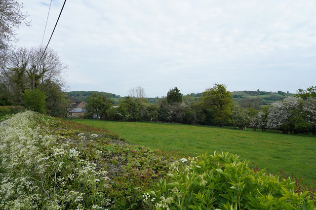
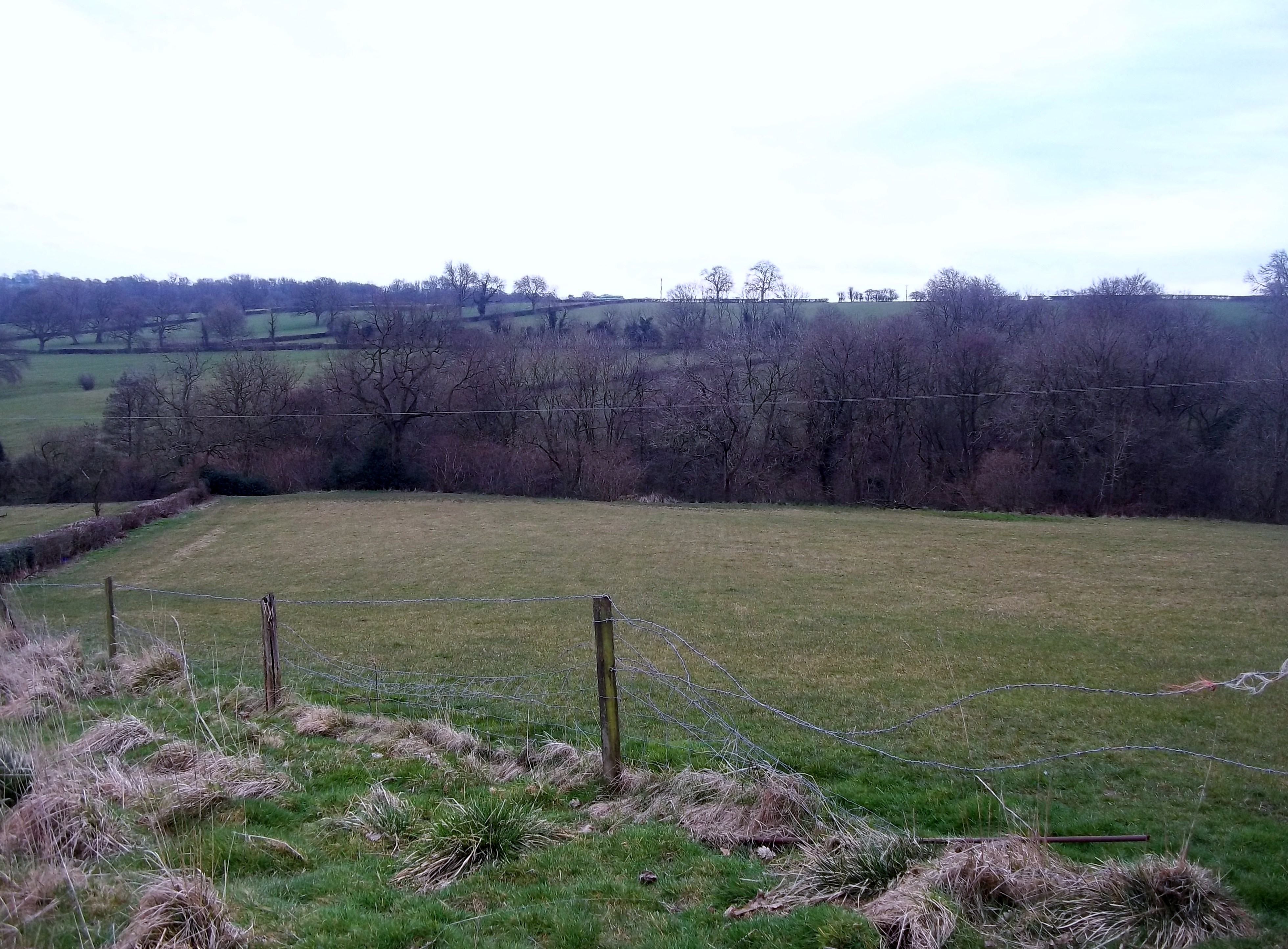
The Mountain is situated within the Peak District National Park, a renowned area of natural beauty. Its location offers visitors breathtaking panoramic views of the surrounding countryside, including lush green valleys, rolling hills, and picturesque villages. On clear days, it is even possible to catch a glimpse of the distant cities of Manchester and Sheffield.

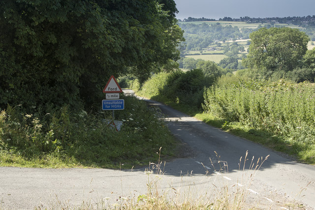
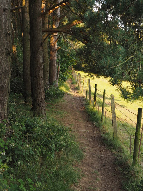
The hill is a popular destination for outdoor enthusiasts, hikers, and nature lovers. It boasts a network of well-maintained footpaths and trails, making it accessible to people of all fitness levels. The most popular route to the summit starts from the nearby village of Castleton, where visitors can enjoy the charming local shops and cafes before embarking on their ascent.

At the summit of The Mountain, visitors are rewarded with stunning vistas and a sense of achievement. The hill's unique geology also attracts geologists and rock climbers, as it is composed of limestone and offers challenging routes for climbers.

Overall, The Mountain in Derbyshire is a must-visit for anyone seeking a memorable outdoor experience. Its impressive height, stunning views, and diverse landscape make it a true gem within the Peak District National Park.

If you have any feedback on the listing, please let us know in the comments section below.
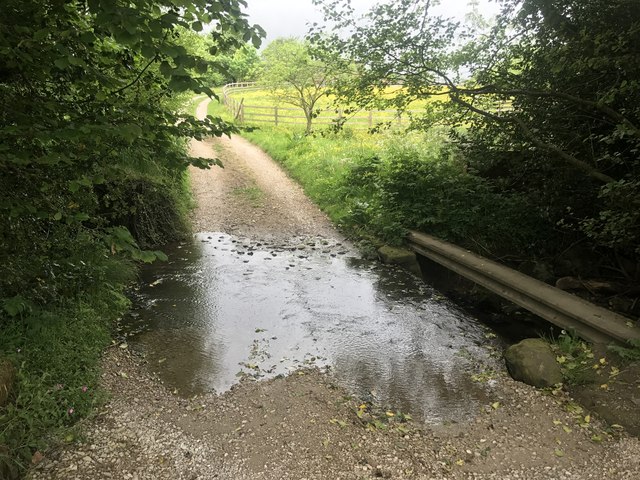
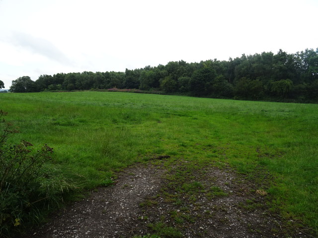
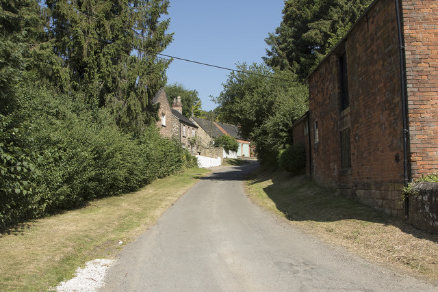
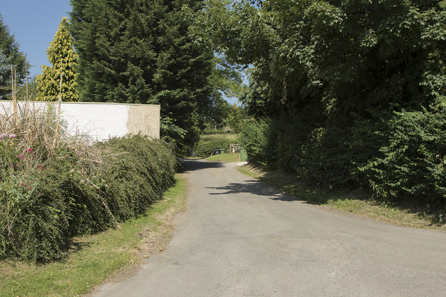
The Mountain Images

Images are sourced within 2km of 53.040121/-1.6029567 or Grid Reference SK2649. Thanks to Geograph Open Source API. All images are credited.

Ford a Millington Green This is a third ford on the Biggin Brook at Millington Green. This one is found on the track leading up to Duncourt Farm.
Ford a Millington Green
This is a third ford on the Biggin Brook at Millington Green. This one is found on the track leading up to Duncourt Farm.
Blackwall Plantation Mature pine wood plantation.
Blackwall Plantation
Mature pine wood plantation.
Old Milepost by the B5023 in Idridgehay Cast iron post by the B5023, in parish of IDRIDGEHAY AND ALTON (AMBER VALLEY District), near Idridgehay Church, on grass verge in front of stone wall, on West side of road. Harrison iron casting, erected by the Ideridgehay & Duffield turnpike trust in the 19th century. 

Inscription reads:-
: WIRKSW.H / 3 / MILES : : Idridge-hay / LONDON / 136 / MILES : : DERBY / 10 / MILES : : J. Harrison / DERBY :

Milestone Society National ID: DE_DEWW10.
Old Milepost by the B5023 in Idridgehay
Cast iron post by the B5023, in parish of IDRIDGEHAY AND ALTON (AMBER VALLEY District), near Idridgehay Church, on grass verge in front of stone wall, on West side of road. Harrison iron casting, erected by the Ideridgehay & Duffield turnpike trust in the 19th century. Inscription reads:- : WIRKSW.H / 3 / MILES : : Idridge-hay / LONDON / 136 / MILES : : DERBY / 10 / MILES : : J. Harrison / DERBY : Milestone Society National ID: DE_DEWW10.
Houses on the Gorses A strangely named road in Ireton Village has some very desirable houses that are well away from shops and local amenities.
Houses on the Gorses
A strangely named road in Ireton Village has some very desirable houses that are well away from shops and local amenities.
Farm buildings next to the Gorses A concrete wall next to the road.
Farm buildings next to the Gorses
A concrete wall next to the road.
Unsuitable for HGV's The narrow road has a ford at the bottom and bears a sign saying unsuitable for HGV's which is no surprise.
Unsuitable for HGV's
The narrow road has a ford at the bottom and bears a sign saying unsuitable for HGV's which is no surprise.
Looking up Top Lons Top Lons is the road along which the camera is pointing from the junction of the lane with Bottom Lons and Broadway.
Looking up Top Lons
Top Lons is the road along which the camera is pointing from the junction of the lane with Bottom Lons and Broadway.
Cliffash Lane Houses on Cliffash Lane are part of Idridgehay Green.
Cliffash Lane
Houses on Cliffash Lane are part of Idridgehay Green.
The drive to Ithersay Farm Ithersay farm is at the end of this limestone covered lane.
The drive to Ithersay Farm
Ithersay farm is at the end of this limestone covered lane.
Church of St James the Great, Idridgehay
Looking over a well clipped hedge Over the hedge is a field of grass bordered on its far side by more hedge and some trees.
Looking over a well clipped hedge
Over the hedge is a field of grass bordered on its far side by more hedge and some trees.
The fork in Gibfield Lane The roads ahead are - to the left Broom Lane and to the right Blackwall Lane. Both are very narrow with some passing places.
The fork in Gibfield Lane
The roads ahead are - to the left Broom Lane and to the right Blackwall Lane. Both are very narrow with some passing places.
The road to the reservoir Over the brow of the hill you will see Carsington Reservoir, which is a pumped storage reservoir, having very little natural inflow.  In times of heavy rain and high river levels in the Derwent water is pumped up into the reservoir for later release in times of low water.
The road to the reservoir
Over the brow of the hill you will see Carsington Reservoir, which is a pumped storage reservoir, having very little natural inflow. In times of heavy rain and high river levels in the Derwent water is pumped up into the reservoir for later release in times of low water.
Woodland Trees in the Evening Sun
Woodland Path
Woodland Path
Tree Trunk Shadows
Tree Trunk Shadows
Hillside Meadow
Hillside Meadow
Tall Pine Trees in the Evening Sun
Show me another place!

The Mountain is located at Grid Ref: SK2649 (Lat: 53.040121, Lng: -1.6029567)

Administrative County: Derbyshire

District: Derbyshire Dales

Police Authority: Derbyshire

What 3 Words

///momentous.brave.teach. Near Wirksworth, Derbyshire

Related Wikis

Holy Trinity Church, Kirk Ireton

Holy Trinity Church, Kirk Ireton, is a Grade I listed parish church in the Church of England in Kirk Ireton, Derbyshire. == History == The church dates...

Biggin by Hulland

Biggin is a village and civil parish in the Derbyshire Dales district of Derbyshire, England, near Hulland and just off the A517 road. In the 2011 census...

Sheep Hills, Derbyshire

Sheep Hills is a place near Biggin in Derbyshire, United Kingdom. It is mainly a rural area, its geographical context is described as farm, grassland and...

Kirk Ireton

Kirk Ireton is a village and civil parish in Derbyshire, England, 4 miles (6.4 km) southwest of Wirksworth on a hillside near Carsington Water, 700 feet...

Idridgehay

Idridgehay is a village in the civil parish of Idridgehay and Alton, in the Amber Valley district of Derbyshire, England. The population of this parish...

Idridgehay railway station

Idridgehay railway station is an intermediate station on the former Midland Railway branch line to the town of Wirksworth in Derbyshire. Off the Midland...

Hulland Ward

Hulland Ward is a village and civil parish in the Derbyshire Dales district of Derbyshire roughly 6 miles west of Belper, Derbyshire England on the A517...

Idridgehay and Alton

Idridgehay and Alton is a civil parish in the Amber Valley district of Derbyshire, England. The population of the civil parish taken at the 2011 Census...

Nearby Amenities

Located within 500m of 53.040121,-1.6029567
Ele: 221
Lat/Long: 53.0405689/-1.5977644
Barrier: stile
Stile: squeezer
Lat/Long: 53.0399375/-1.5969914
Barrier: stile
Ele: 199.0000000
Material: wood
Source: survey;gps
Steps: 1
Stile: stepover
Lat/Long: 53.0398816/-1.6080312
Ele: 188.0000000
Lat/Long: 53.0393887/-1.607896
Barrier: stile
Ele: 186.0000000
Steps: 1
Stile: stepover
Lat/Long: 53.0393011/-1.6079683
Barrier: stile
Ele: 162.0000000
Material: wood
Source: survey;gps
Steps: 1
Stile: stepover
Lat/Long: 53.0382537/-1.6088302
Fixme: stile, gate or entrance
Lat/Long: 53.0375728/-1.6045932
Barrier: stile
Material: stone
Source: survey;gps
Stile: squeezer
Lat/Long: 53.0391405/-1.605379
Barrier: stile
Material: wood
Source: survey;gps
Stile: stepover
Lat/Long: 53.040253/-1.6055863
Barrier: stile
Material: stone
Source: survey;gps
Stile: squeezer
Lat/Long: 53.0406839/-1.6059259
Direction: 175
Generator Method: photovoltaic
Generator Output Electricity: yes
Generator Solar Modules: 14
Generator Source: solar
Generator Type: solar_photovoltaic_panel
Location: roof
Power: generator
Lat/Long: 53.0430385/-1.6046946
The data included in this document is from www.openstreetmap.org. The data is made available under ODbL.

Have you been to The Mountain?

Leave your review of The Mountain below (or comments, questions and feedback).