Plawsworth Gate

Settlement in Durham

England

Plawsworth Gate

B6312 at Nettlesworth village boundary
B6312 at Nettlesworth village boundary Credit: Colin Pyle

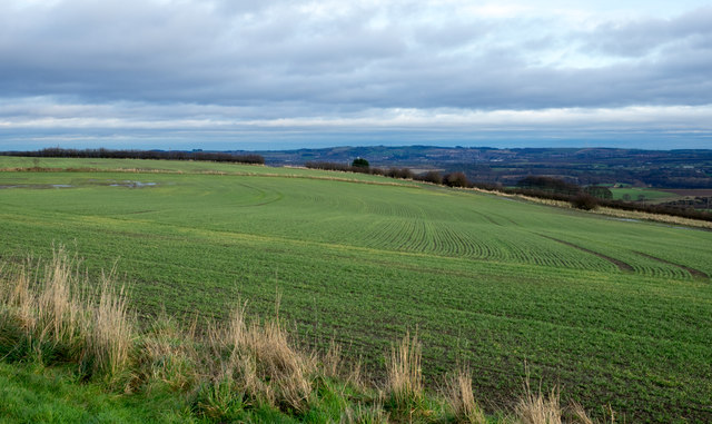
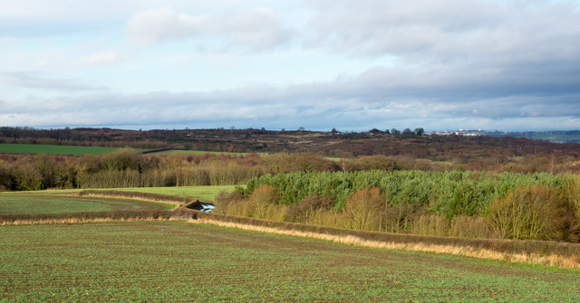
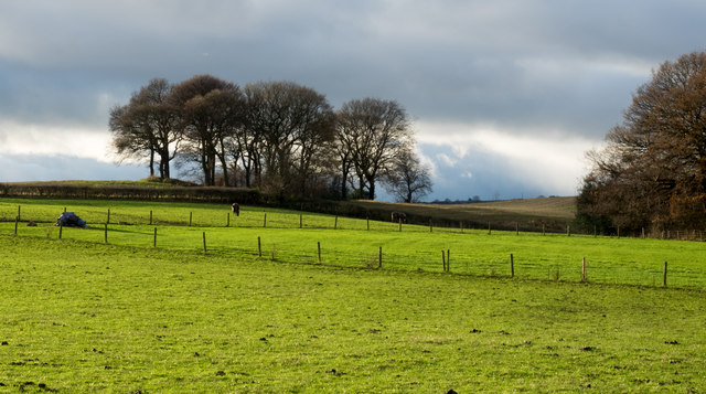
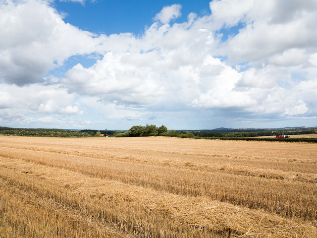
Plawsworth Gate is a small village located in County Durham, England. Situated approximately five miles south of Durham City, it falls within the civil parish of Great Lumley. The village is nestled amidst picturesque countryside, boasting a tranquil and idyllic setting.

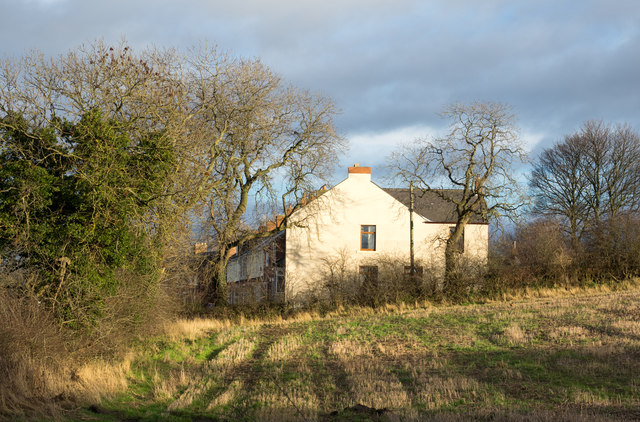
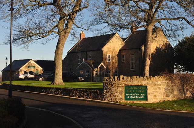
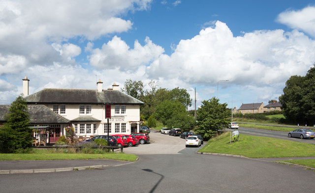
Plawsworth Gate is known for its charming and well-preserved traditional architecture. The village primarily consists of a collection of stone-built houses, which exude a timeless charm. Many of these properties date back to the 19th century, adding to the village's historic appeal.

While Plawsworth Gate is predominantly a residential area, it benefits from its close proximity to nearby amenities. The neighboring village of Great Lumley provides essential facilities such as shops, schools, and healthcare services. Durham City, with its wider range of amenities, is also easily accessible by car or public transport.

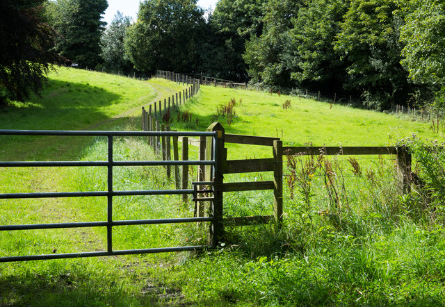
The village is surrounded by beautiful countryside, offering residents and visitors ample opportunities for outdoor activities. The nearby Lumley Castle Estate provides scenic walks and a chance to explore its extensive grounds. Additionally, the nearby River Wear provides opportunities for fishing and boating.

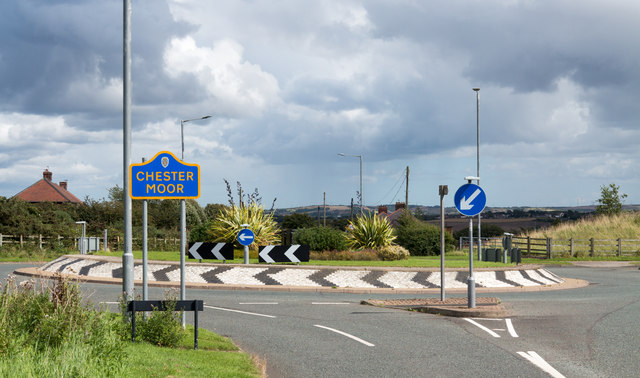
Transport links in Plawsworth Gate are convenient, with regular bus services connecting the village to neighboring towns and villages. The A1(M) motorway is also easily accessible, providing excellent connections to major cities such as Newcastle and Sunderland.

Overall, Plawsworth Gate offers a peaceful and picturesque setting with easy access to both rural and urban amenities. Its traditional architecture and natural beauty make it an attractive place to live for those seeking a tranquil lifestyle in County Durham.

If you have any feedback on the listing, please let us know in the comments section below.

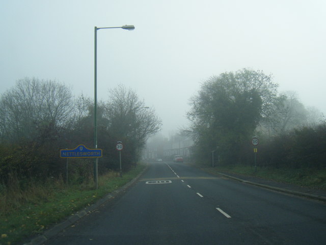
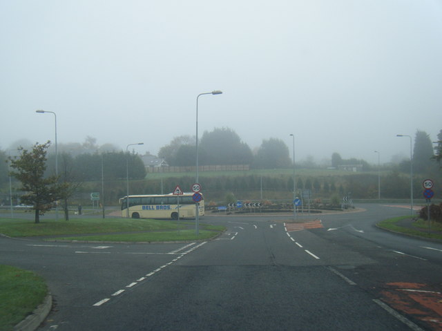
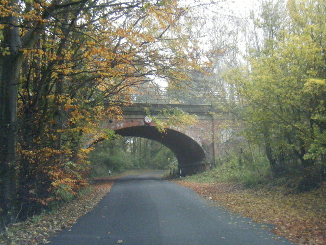
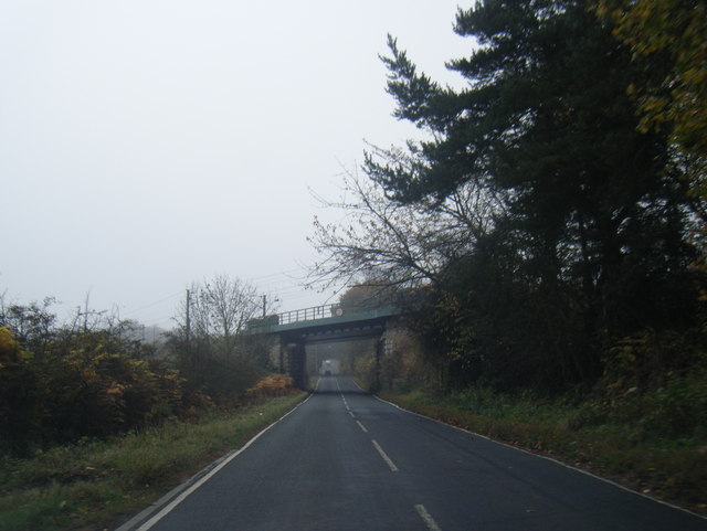
Plawsworth Gate Images

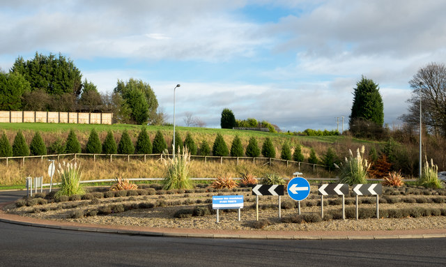
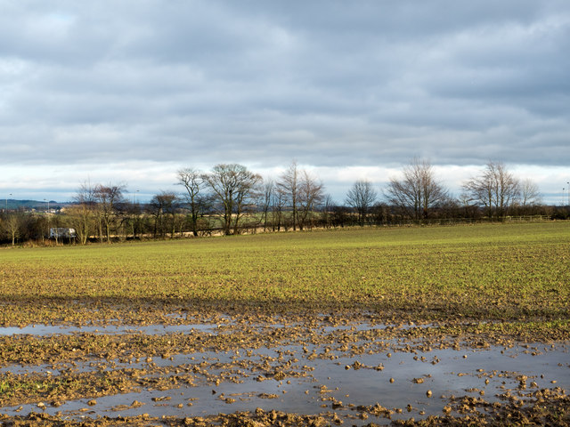
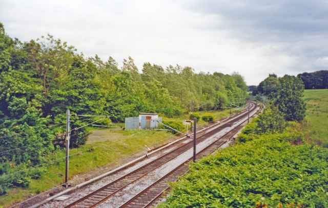
Images are sourced within 2km of 54.822083/-1.5920811 or Grid Reference NZ2647. Thanks to Geograph Open Source API. All images are credited.

B6312 at Nettlesworth village boundary
B6312 nears A167 roundabout
Mill Lane passing under the East Coast Main Line
Chester Low Road nears ECML bridge
Field south of Sacriston The view is to the east over a field with an emerging crop from Bowbank, a road in a development known as Southburn Rise at the southern side Sacriston.
Field south of Sacriston
The view is to the east over a field with an emerging crop from Bowbank, a road in a development known as Southburn Rise at the southern side Sacriston.
Field east of Sacriston The field lies to the north of the B6312 between Sacriston and Nettlesworth.
Field east of Sacriston
The field lies to the north of the B6312 between Sacriston and Nettlesworth.
House at west end of Nettlesworth The house is on the south side of the B6312 as it enters the village from the west; the road is immediately past the bush at the left side of the image.
House at west end of Nettlesworth
The house is on the south side of the B6312 as it enters the village from the west; the road is immediately past the bush at the left side of the image.
Fields west of Beaney Lane Beaney Lane is a minor road on the west side of the A167, north of Nettlesworth.
Fields west of Beaney Lane
Beaney Lane is a minor road on the west side of the A167, north of Nettlesworth.
Roundabout on A167 near Nettlesworth The roundabout is on the dual carriageway of the A167 just east of Nettlesworth from where the B6312 comes to join it. The notice tells that the roundabout is available for sponsorship!
Roundabout on A167 near Nettlesworth
The roundabout is on the dual carriageway of the A167 just east of Nettlesworth from where the B6312 comes to join it. The notice tells that the roundabout is available for sponsorship!
Waterlogged field beside Beaney Lane Beaney Lane is a minor road north of Nettlesworth; this field on its eastern side, along with the land all around,  is saturated with water following many weeks of above average rainfall.
Waterlogged field beside Beaney Lane
Beaney Lane is a minor road north of Nettlesworth; this field on its eastern side, along with the land all around, is saturated with water following many weeks of above average rainfall.
Site of Plawsworth station, ECML 2002 View southward, towards Ferryhill, Darlington and the South on the ex-NER Darlington - Newcastle section of the ECML, electrified 1987. Plawsworth station was closed to passengers 7/4/52, to goods 30/9/63.
Site of Plawsworth station, ECML 2002
View southward, towards Ferryhill, Darlington and the South on the ex-NER Darlington - Newcastle section of the ECML, electrified 1987. Plawsworth station was closed to passengers 7/4/52, to goods 30/9/63.
Retail outlets at The Arnison Centre At Pity Me on the northern fringe of Durham.
Retail outlets at The Arnison Centre
At Pity Me on the northern fringe of Durham.
Plawsworth Hall
Plawsworth Hall
The Red Lion at Plawsworth The Red lion at Plawsworth stands beside the A167 which was once the A1, Great North Road.
Red Lion is one of the most common names for a pub; Wikipedia tells, (August 2017), that the British Beer and Pub Association records it as the most popular with 759 having that name, whilst CAMRA has it in second place with 668.
The Red Lion at Plawsworth
The Red lion at Plawsworth stands beside the A167 which was once the A1, Great North Road. Red Lion is one of the most common names for a pub; Wikipedia tells, (August 2017), that the British Beer and Pub Association records it as the most popular with 759 having that name, whilst CAMRA has it in second place with 668.
Stubble field adjacent to Beaney Lane The field is in the angle formed between Beaney Lane and the A167 south of Chester-le-Street.
Stubble field adjacent to Beaney Lane
The field is in the angle formed between Beaney Lane and the A167 south of Chester-le-Street.
Public footpath alongside fence The path is one of a number crossing land in the area north of Nettlesworth and close to Felledge Farm; the farm is on the other side of the right hand trees.
Public footpath alongside fence
The path is one of a number crossing land in the area north of Nettlesworth and close to Felledge Farm; the farm is on the other side of the right hand trees.
Roundabout on Waldridge Lane The roundabout is at a crossing of minor roads close to the A167 at Chester Moor as the blue and yellow road sign, typical of many in County Durham, indicates. Chester Moor is a small settlement close to Chester-le-Street.
Roundabout on Waldridge Lane
The roundabout is at a crossing of minor roads close to the A167 at Chester Moor as the blue and yellow road sign, typical of many in County Durham, indicates. Chester Moor is a small settlement close to Chester-le-Street.
Front Street in Pity Me, Durham
Show me another place!

Plawsworth Gate is located at Grid Ref: NZ2647 (Lat: 54.822083, Lng: -1.5920811)

Unitary Authority: County Durham

Police Authority: Durham

What 3 Words

///objecting.measuring.digestion. Near Sacriston, Co. Durham

Related Wikis

Plawsworth

Plawsworth is a village and former civil parish, now in the parish of Kimblesworth and Plawsworth, in the County Durham district, in the ceremonial county...

Kimblesworth

Kimblesworth is a village and former civil parish, now in the parish of Kimblesworth and Plawsworth, in the County Durham district, in the ceremonial county...

Tan Hills

Tan Hills is a village in County Durham, in England. It is situated close to Sacriston, Kimblesworth and Nettlesworth, between Durham and Chester-le-Street...

Nettlesworth

Nettlesworth is a small village in County Durham, in England. It is situated to the south of Chester-le-Street, near Sacriston. Nettlesworth is adjoined...

Nearby Amenities

Located within 500m of 54.822083,-1.5920811
Plawsworth
Place: hamlet
Source: npe
Wikidata: Q7202902
Wikipedia: en:Plawsworth
Lat/Long: 54.824916/-1.5912884
Kimblesworth
Place: village
Wikidata: Q6410010
Lat/Long: 54.8206257/-1.5976143
Bus Stop
Red Lion
Bench: yes
Bin: yes
Bus: yes
Departures Board: timetable
Lit: yes
Naptan AtcoCode: 13002214A
Naptan Bearing: N
Naptan CommonName: Red Lion
Naptan Indicator: north bound
Naptan Landmark: Landmark not known
Naptan NaptanCode: durampaj
Naptan Notes: The Red Lion (PH)- A167- at junction with B6312.
Naptan Street: A167
Naptan Verified: no
Passenger Information Display: no
Public Transport: platform
Shelter: yes
Source: naptan_import
Tactile Paving: no
Lat/Long: 54.8246555/-1.5939801
Bus Stop
Red Lion
Bench: yes
Bin: yes
Bus: yes
Check Date Shelter: 2022-07-26
Departures Board: timetable
Lit: yes
Naptan AtcoCode: 13002214E
Naptan Bearing: S
Naptan CommonName: Red Lion
Naptan Indicator: south bound
Naptan Landmark: Landmark not known
Naptan NaptanCode: durampam
Naptan Notes: The Red Lion (PH)- A167- at junction with B6312.
Naptan Street: A167
Naptan Verified: yes
Passenger Information Display: no
Public Transport: platform
Shelter: yes
Source: naptan_import; GPS survey
Tactile Paving: no
Lat/Long: 54.8245935/-1.5933685
Bus Stop
Lane End
Bench: yes
Bin: no
Bus: yes
Lit: yes
Naptan AtcoCode: 13002215A
Naptan Bearing: N
Naptan CommonName: Lane End
Naptan Indicator: north bound
Naptan Landmark: Landmark not known
Naptan NaptanCode: durampap
Naptan Notes: A167- north of junction with road to Kimblesworth.
Naptan Street: A167
Naptan Verified: no
Public Transport: platform
Shelter: yes
Source: naptan_import
Tactile Paving: no
Lat/Long: 54.8180805/-1.5923591
Bus Stop
Lane End
Bench: yes
Bin: yes
Bus: yes
Departures Board: timetable
Lit: yes
Naptan AtcoCode: 13002215E
Naptan Bearing: S
Naptan CommonName: Lane End
Naptan Indicator: south bound
Naptan Landmark: Landmark not known
Naptan NaptanCode: durampat
Naptan Notes: A167- north of junction with road to Kimblesworth.
Naptan Street: A167
Naptan Verified: no
Public Transport: platform
Shelter: yes
Source: naptan_import
Tactile Paving: no
Lat/Long: 54.8190502/-1.5921003
Bus Stop
Bank
Bus: yes
Naptan AtcoCode: 13002216B
Naptan Bearing: NE
Naptan CommonName: Bank
Naptan Indicator: north east bound
Naptan Landmark: Landmark not known
Naptan NaptanCode: durampaw
Naptan Notes: B6312 between Kimblesworth and A167.
Naptan Street: B6312
Naptan Verified: no
Public Transport: platform
Source: naptan_import
Lat/Long: 54.8235191/-1.5955261
Bus Stop
Bank
Bus: yes
Naptan AtcoCode: 13002216F
Naptan Bearing: SW
Naptan CommonName: Bank
Naptan Indicator: south west bound
Naptan Landmark: Landmark not known
Naptan NaptanCode: durampda
Naptan Notes: B6312 between Kimblesworth and A167.
Naptan Street: B6312
Naptan Verified: no
Public Transport: platform
Source: naptan_import
Lat/Long: 54.8234338/-1.5953926
Bus Stop
Club
Bus: yes
Naptan AtcoCode: 13002217C
Naptan Bearing: E
Naptan CommonName: Club
Naptan Indicator: east bound
Naptan Landmark: Landmark not known
Naptan NaptanCode: durampdg
Naptan Notes: Boundary of 4 and 5 Aged Miners Homes- Tan Hills.
Naptan Street: B6312
Naptan Verified: no
Public Transport: platform
Source: naptan_import
Lat/Long: 54.823178/-1.5983311
Bus Stop
Club
Bus: yes
Naptan AtcoCode: 13002217G
Naptan Bearing: W
Naptan CommonName: Club
Naptan Indicator: west bound
Naptan Landmark: Landmark not known
Naptan NaptanCode: durampdj
Naptan Notes: Opposite 11 Aged Miners Homes- Tan Hills.
Naptan Street: B6312
Naptan Verified: no
Public Transport: platform
Source: naptan_import
Lat/Long: 54.8231993/-1.5993426
Bus Stop
Cedar Avenue
Bus: yes
Naptan AtcoCode: 13002218A
Naptan Bearing: N
Naptan CommonName: Cedar Avenue
Naptan Indicator: north bound
Naptan Landmark: Landmark not known
Naptan NaptanCode: durampdm
Naptan Notes: Opposite 19 Cedar Avenue- Kimblesworth.
Naptan Street: Cedar Avenue
Naptan Verified: no
Public Transport: platform
Source: naptan_import
Lat/Long: 54.8207208/-1.5972038
Bus Stop
Cedar Avenue
Bus: yes
Naptan AtcoCode: 13002218E
Naptan Bearing: S
Naptan CommonName: Cedar Avenue
Naptan Indicator: south bound
Naptan Landmark: Landmark not known
Naptan NaptanCode: durampdp
Naptan Notes: 19 Cedar Avenue- Kimblesworth.
Naptan Street: Cedar Avenue
Naptan Verified: no
Public Transport: platform
Source: naptan_import
Lat/Long: 54.8207205/-1.5971105
Crossing
Crossing: unmarked
Crossing Island: yes
Crossing Markings: no
Kerb: lowered
Tactile Paving: no
Lat/Long: 54.8220716/-1.5922669
Crossing
Bicycle: yes
Crossing: unmarked
Crossing Markings: no
Tactile Paving: no
Lat/Long: 54.8242511/-1.5937296
Crossing
Bicycle: yes
Crossing: unmarked
Crossing Markings: no
Tactile Paving: no
Lat/Long: 54.8243066/-1.5934564
Crossing
Crossing: unmarked
Crossing Markings: no
Kerb: lowered
Tactile Paving: no
Lat/Long: 54.8256319/-1.5936974
Give Way
Direction: backward
Lat/Long: 54.8256611/-1.5935191
Crossing
Crossing: unmarked
Crossing Island: no
Crossing Markings: no
Kerb: lowered
Tactile Paving: no
Lat/Long: 54.8255168/-1.5936671
Plawsworth Gate
Place: hamlet
Lat/Long: 54.8220307/-1.5915638
Barrier: bollard
Bicycle: yes
Bollard: fixed
Foot: yes
Note: Not clear that this is intended as a foot/cycle route, or whether just a blocked farm service route
Lat/Long: 54.8198036/-1.5923835
Crossing
Crossing: unmarked
Crossing Markings: no
Kerb: lowered
Tactile Paving: no
Lat/Long: 54.8237057/-1.5930986
Crossing
Crossing: unmarked
Crossing Markings: no
Kerb: lowered
Tactile Paving: no
Lat/Long: 54.8236823/-1.5933069
Ouston Car Sales
Shop: car
Lat/Long: 54.8262877/-1.5948187
Crossing
Crossing: unmarked
Crossing Island: no
Crossing Markings: no
Kerb: raised
Tactile Paving: no
Lat/Long: 54.8176898/-1.5920822
Crossing
Crossing: unmarked
Crossing Island: no
Crossing Markings: no
Kerb: raised
Tactile Paving: no
Lat/Long: 54.8176898/-1.592249
Waste Basket
Lat/Long: 54.8223802/-1.5976969
Post Box
Brand: Royal Mail
Brand Wikidata: Q638098
Collection Times: Mo-Fr 16:45; Sa 11:45
Operator: Royal Mail
Operator Wikidata: Q638098
Post Box Type: pillar
Ref: DH2 94
Royal Cypher: EIIR
Royal Cypher Wikidata: Q33102113
Lat/Long: 54.8223683/-1.5976788
Generator Method: photovoltaic
Generator Orientation: 180
Generator Output Electricity: yes
Generator Solar Modules: 12
Generator Source: solar
Generator Type: solar_photovoltaic_panel
Location: roof
Power: generator
Lat/Long: 54.8263196/-1.5932684
Give Way
Direction: forward
Lat/Long: 54.8220538/-1.5924609
Give Way
Direction: forward
Lat/Long: 54.8220322/-1.5928258
Power: pole
Lat/Long: 54.8231973/-1.5864006
Power: pole
Lat/Long: 54.8222424/-1.5857676
Power: pole
Lat/Long: 54.8214466/-1.5855181
Power: pole
Lat/Long: 54.820789/-1.5852834
Power: pole
Lat/Long: 54.8243701/-1.5853974
Power: pole
Lat/Long: 54.8192027/-1.5957829
Power: pole
Lat/Long: 54.818189/-1.5959479
Power: pole
Lat/Long: 54.8238625/-1.5906358
Power: pole
Lat/Long: 54.8245223/-1.5899169
Power: pole
Lat/Long: 54.8243501/-1.5882003
Power: pole
Lat/Long: 54.8240194/-1.5868177
Generator Method: photovoltaic
Generator Output Electricity: yes
Generator Source: solar
Generator Type: solar_photovoltaic_panel
Location: roof
Power: generator
Lat/Long: 54.8223869/-1.5983377
Generator Method: photovoltaic
Generator Output Electricity: yes
Generator Source: solar
Generator Type: solar_photovoltaic_panel
Location: roof
Power: generator
Lat/Long: 54.8217734/-1.5975827
Generator Method: photovoltaic
Generator Output Electricity: yes
Generator Source: solar
Generator Type: solar_photovoltaic_panel
Location: roof
Power: generator
Lat/Long: 54.8219635/-1.5989345
Generator Method: photovoltaic
Generator Output Electricity: yes
Generator Source: solar
Generator Type: solar_photovoltaic_panel
Location: roof
Power: generator
Lat/Long: 54.8223042/-1.5998411
Generator Method: photovoltaic
Generator Output Electricity: yes
Generator Source: solar
Generator Type: solar_photovoltaic_panel
Location: roof
Power: generator
Lat/Long: 54.8228334/-1.5992966
Generator Method: photovoltaic
Generator Output Electricity: yes
Generator Source: solar
Generator Type: solar_photovoltaic_panel
Location: roof
Power: generator
Lat/Long: 54.822869/-1.5995058
Plawsworth Hall
Addr City: Chester-le-Street
Addr Postcode: DH2 3LD
Addr Street: Wheatleywell Lane
Addr Suburb: Plawsworth
Tourism: chalet
Website: https://www.plawsworth.com/
Lat/Long: 54.8263309/-1.5895723
Power: pole
Lat/Long: 54.8230579/-1.5925663
Power: pole
Lat/Long: 54.8233063/-1.5912192
Post Office
Tan Hills Post Office
Ref Pol Id: 8205
Website: https://www.postoffice.co.uk/branch-finder/2203138/tan-hills
Lat/Long: 54.822427/-1.5974846
True Love Tattoo
Image: https://www.geograph.org.uk/photo/6304173
Shop: tattoo
Lat/Long: 54.8224767/-1.5977232
Crossing
Crossing: unmarked
Crossing Island: yes
Crossing Markings: no
Lat/Long: 54.8231989/-1.599023
Crossing
Crossing: unmarked
Crossing Markings: no
Lat/Long: 54.8239081/-1.5944679
Crossing
Lat/Long: 54.8237018/-1.5947654
The data included in this document is from www.openstreetmap.org. The data is made available under ODbL.

Have you been to Plawsworth Gate?

Leave your review of Plawsworth Gate below (or comments, questions and feedback).