Pleck

Settlement in Dorset

England

Pleck

Cottage twixt Holywell and Redford
Cottage twixt Holywell and Redford Credit: Mike Searle

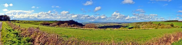
Pleck is a small village located in the county of Dorset, England. Situated approximately 7 miles north of the town of Sherborne, Pleck falls within the West Dorset district. The village is nestled amidst the picturesque rolling hills of the Dorset Downs, offering stunning views of the surrounding countryside.

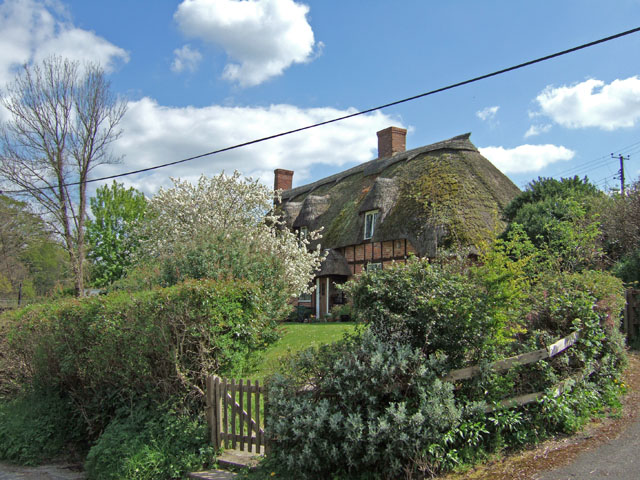
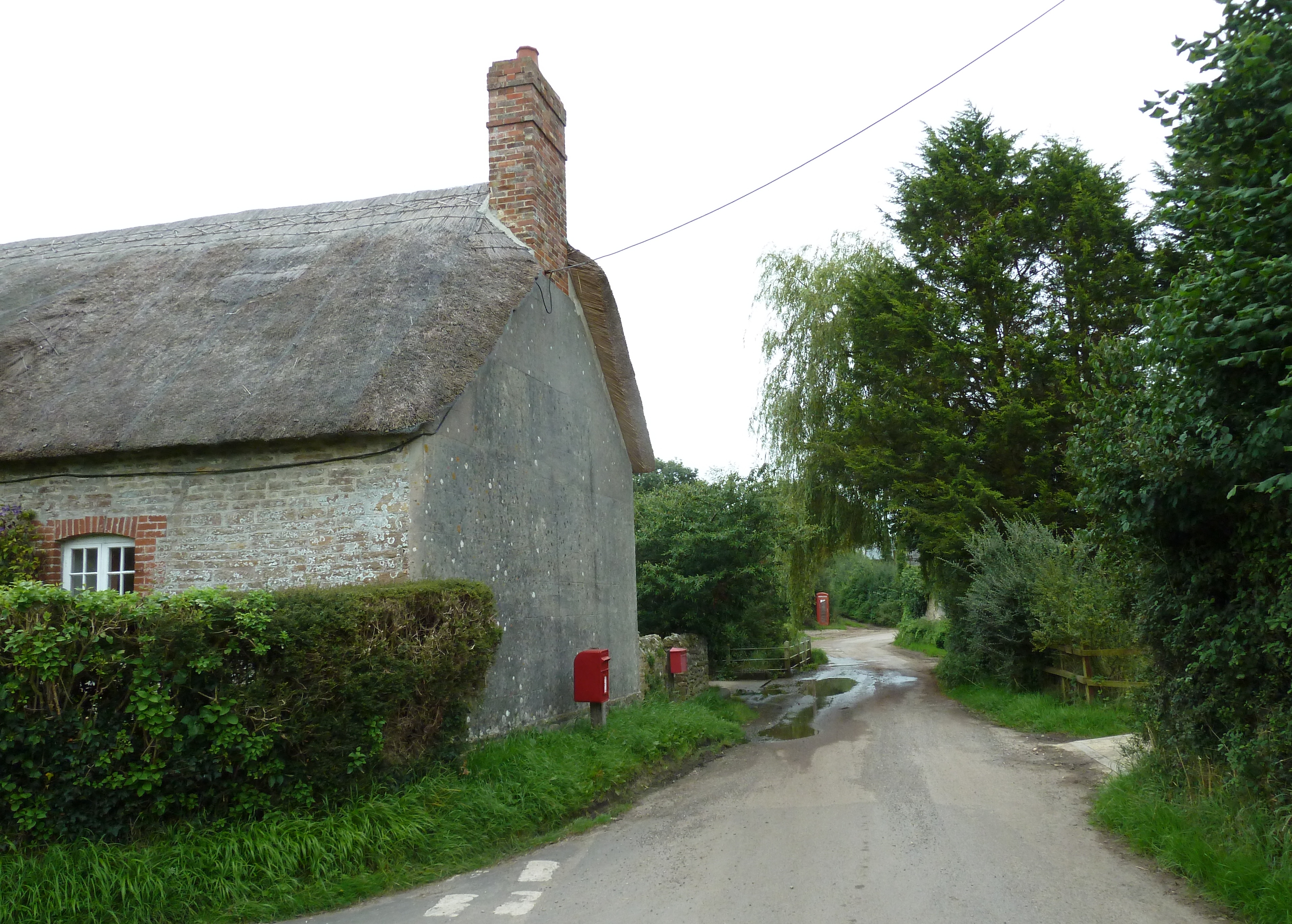
Pleck is known for its quaint and peaceful atmosphere, making it an ideal destination for those seeking a tranquil getaway. The village is primarily residential, with a small population that contributes to its close-knit community feel. The charming cottages and houses in Pleck showcase traditional Dorset architecture and add to the village's rural charm.

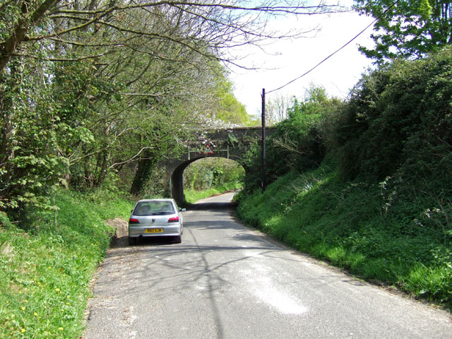
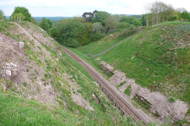
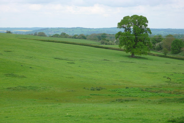
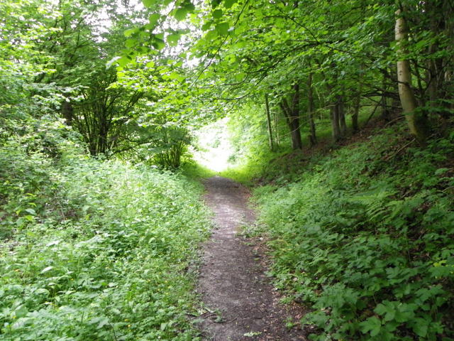
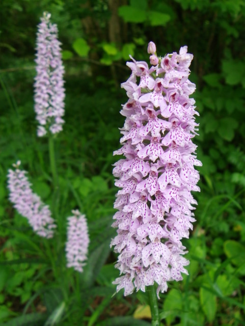
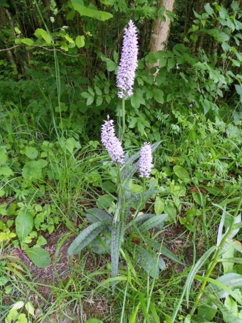
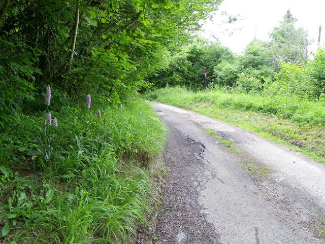
The village is surrounded by an abundance of natural beauty, with ample opportunities for outdoor activities. Nearby, visitors can explore the Dorset Downs, an Area of Outstanding Natural Beauty, offering scenic walking and hiking trails. The area is also home to a variety of wildlife, making it a popular spot for nature enthusiasts.

While Pleck itself does not boast a wide range of amenities, the nearby town of Sherborne provides convenient access to essential services such as shops, supermarkets, and healthcare facilities. Additionally, Sherborne offers a range of cultural and historical attractions, including Sherborne Castle and the beautiful Sherborne Abbey.

Pleck is an idyllic countryside village, offering a peaceful retreat for nature lovers and those seeking a slower pace of life. Its stunning surroundings and proximity to the bustling town of Sherborne make it an attractive destination for both residents and visitors.

If you have any feedback on the listing, please let us know in the comments section below.
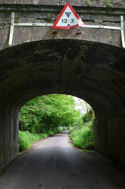
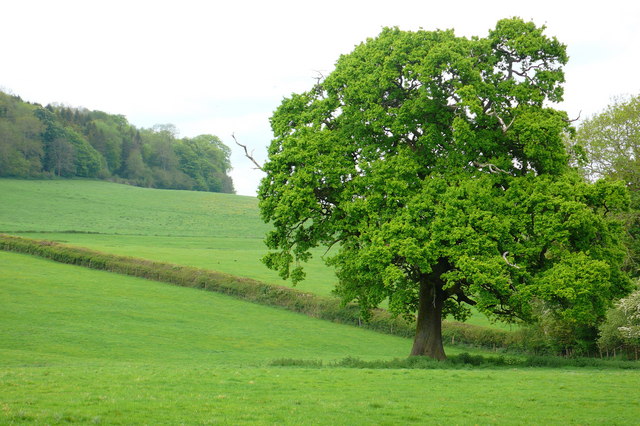
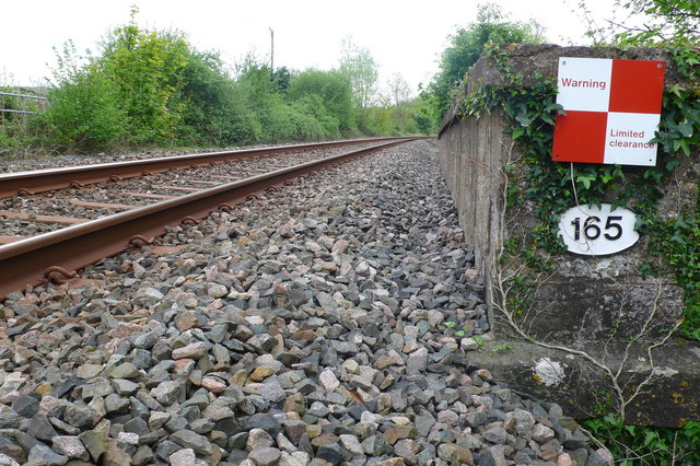
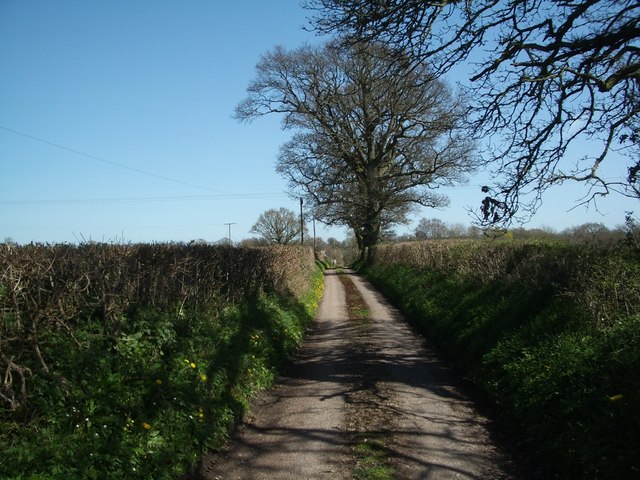
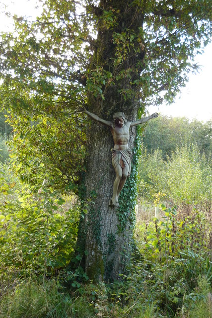
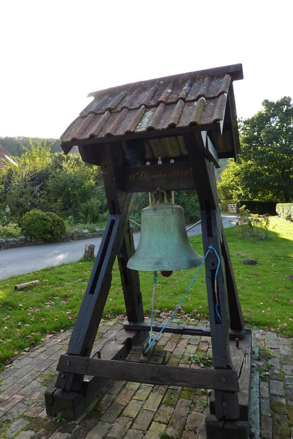
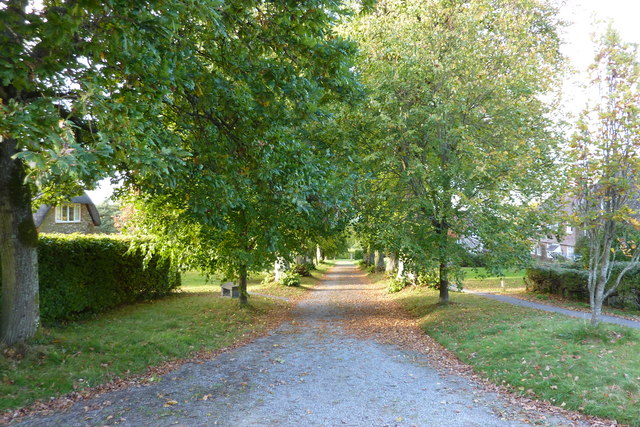
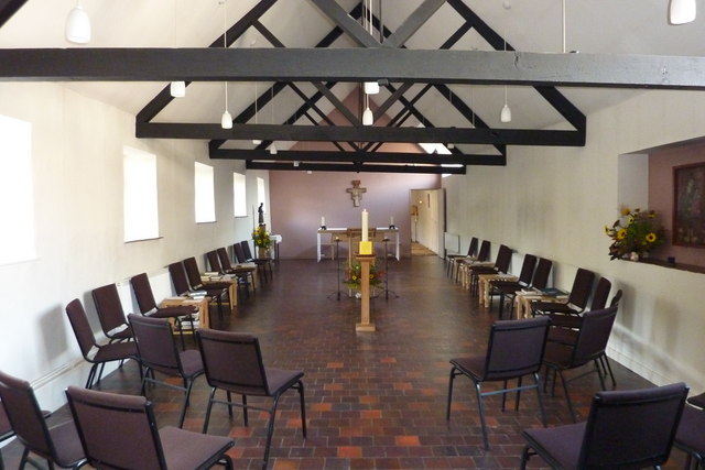
Pleck Images

Images are sourced within 2km of 50.841908/-2.5452999 or Grid Reference ST6104. Thanks to Geograph Open Source API. All images are credited.

Cottage twixt Holywell and Redford
Railway Bridge over the Holywell to Redford road
Rail Cutting north of Holywell This is where the Dorchester to Yeovil line emerges from the Holywell tunnel, taken from the minor road between Holywell and Redford
Rail Cutting north of Holywell
This is where the Dorchester to Yeovil line emerges from the Holywell tunnel, taken from the minor road between Holywell and Redford
Farmland at Woolcombe Farm Just north of Holywell this view is looking towards the Dorchester Yeovil railway hidden in the trees.
Farmland at Woolcombe Farm
Just north of Holywell this view is looking towards the Dorchester Yeovil railway hidden in the trees.
Railway Bridge near Redford This is where the Yeovil to Dorchester line crosses the Redford to Holywell road.
Railway Bridge near Redford
This is where the Yeovil to Dorchester line crosses the Redford to Holywell road.
Oak Tree near Woolcombe farm Looking north just west of the Yeovil to Dorchester railway near the bridge where it crosses the Holywell to Redford road.
Oak Tree near Woolcombe farm
Looking north just west of the Yeovil to Dorchester railway near the bridge where it crosses the Holywell to Redford road.
Railway Bridge near Redford Looking south along the Yeovil to Dorchester railway track as it crosses the bridge over the minor road between Holywell and Redford. The limited clearance warning is presumably for wide loads on trains, or warning pedestrians on the bridge when trains pass.
Railway Bridge near Redford
Looking south along the Yeovil to Dorchester railway track as it crosses the bridge over the minor road between Holywell and Redford. The limited clearance warning is presumably for wide loads on trains, or warning pedestrians on the bridge when trains pass.
Lane at Hell Corner (no through road)
Hilfield: pasture land, looking towards Batcombe Hill
Crucifix beyond the Hidden Garden of Hilfield Friary Hilfield Friary is set on the edge of the Dorset Downs with magnificent views across the Blackmore Vale – rural England at its greenest, the countryside of Thomas Hardy’s novels.  There have been Franciscan brothers living here in a collection of what were once farm buildings since 1921, providing refuge for the homeless, the experience of community, and a place for prayer, reflection and renewal.
Crucifix beyond the Hidden Garden of Hilfield Friary
Hilfield Friary is set on the edge of the Dorset Downs with magnificent views across the Blackmore Vale – rural England at its greenest, the countryside of Thomas Hardy’s novels. There have been Franciscan brothers living here in a collection of what were once farm buildings since 1921, providing refuge for the homeless, the experience of community, and a place for prayer, reflection and renewal.
The Bell at Hilfield Friary The Society of St Francis is a Religious Order in the Anglican
Communion, committed to following Christ in the way of Saint
Francis of Assisi in humility, love and joy.
The Bell at Hilfield Friary
The Society of St Francis is a Religious Order in the Anglican Communion, committed to following Christ in the way of Saint Francis of Assisi in humility, love and joy.
Hilfield, the Friary of Saint Francis
Inside the Chapel at the Friary of Saint Francis
Woodland path near Hilfield This path is one of many that allow walkers to access Hilfield Woods.
Woodland path near Hilfield
This path is one of many that allow walkers to access Hilfield Woods.
Common spotted orchid (Dactylorhiza fuchsii), Hilfield Common spotted orchids have dense cone-shaped flower spikes, with narrow, spotted leaves.
Common spotted orchid (Dactylorhiza fuchsii), Hilfield
Common spotted orchids have dense cone-shaped flower spikes, with narrow, spotted leaves.
Common spotted orchid (Dactylorhiza fuchsii), Hilfield The Common spotted orchid can be found almost anywhere, in dune slacks, meadows, roadside verges and woodland edges.  For a close-up <a href="https://www.geograph.org.uk/photo/2476015">ST6304 : Common spotted orchid (Dactylorhiza fuchsii), Hilfield</a>
Common spotted orchid (Dactylorhiza fuchsii), Hilfield
The Common spotted orchid can be found almost anywhere, in dune slacks, meadows, roadside verges and woodland edges. For a close-up ST6304 : Common spotted orchid (Dactylorhiza fuchsii), Hilfield
Minor road near Hilfield The minor road heads towards Batcombe.  There are Common spotted orchids on the verge.  For a closer view of the orchids <a href="https://www.geograph.org.uk/photo/2476020">ST6304 : Common spotted orchid (Dactylorhiza fuchsii), Hilfield</a>
Minor road near Hilfield
The minor road heads towards Batcombe. There are Common spotted orchids on the verge. For a closer view of the orchids ST6304 : Common spotted orchid (Dactylorhiza fuchsii), Hilfield
Batcombe: Panoramic View of the Down
Show me another place!

Pleck is located at Grid Ref: ST6104 (Lat: 50.841908, Lng: -2.5452999)

Unitary Authority: Dorset

Police Authority: Dorset

What 3 Words

///bandage.failed.lorry. Near Yetminster, Dorset

Nearby Locations

Pleck Batcombe Batcombe

Related Wikis

Batcombe, Dorset

Batcombe is a small straggling village and civil parish in Dorset, England, situated 12 miles (19 km) north-west of Dorchester below the northern scarp...

Batcombe Down

Batcombe Down (grid reference ST623040) is an 18.6 hectare biological Site of Special Scientific Interest in Dorset, England: notified in 1952. == Sources... ==

Redford, Dorset

Redford is a hamlet about equidistant from Batcombe, Melbury Bubb and Woolcombe in the county of Dorset in South West England. It lies within the Dorset...

Hilfield

Hilfield is a small, scattered village and civil parish in west Dorset, England, situated under the scarp face of the Dorset Downs 7 miles (11 km) south...

Cerne, Totcombe and Modbury Hundred

Cerne, Totcombe and Modbury Hundred was a hundred in the county of Dorset, England. Some of its tithings and parishes were exclaves which indicates that...

Holywell, Dorset

Holywell is a hamlet in Dorset, England, located on the A37 roughly midway between Yeovil and Dorchester. A tributary of the River Frome passes through...

Evershot railway station

Evershot was a railway station in the county of Dorset in England. Served by trains on what is now known as the Heart of Wessex Line, it was two miles...

Melbury Bubb

Melbury Bubb is a small village and civil parish in the county of Dorset in South West England, situated approximately 7 miles (11 km) south of the town...

Related Videos

Pre-Retreat Ponderings - Walking the Land from Cerne Abbas to Hilfield Friary

Last week I went on a retreat for the first, to think about a lot of things, process feelings and reflect. This is the first video of quite a ...

Marvel at the grounds at Hilfield Friary

Just a wander and wonder around (some) of the grounds at Hilfield Friary. Hilfield Friary https://www.hilfieldfriary.org.uk/ Nomad ...
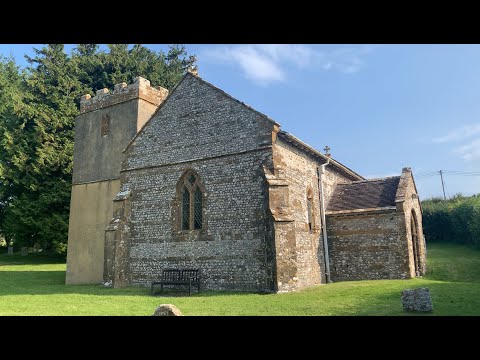
#016 Clay Pigeon - @BritishMinibikesBMB Round 8 (Audio & Video YouTube/Spotify) #hkc217podcast

This Episode is Sponsored by SheffieldVanHireLTD.co.uk We travel to Clay Pigeon near the south coast for the final round of the ...

Nearby Amenities

Located within 500m of 50.841908,-2.5452999
Post Box
Operator: Royal Mail
Post Box Type: lamp
Ref: DT2 28
Ref GB Uprn: 10015309794
Royal Cypher: EIIR
Royal Cypher Wikidata: Q33102113
Lat/Long: 50.8414421/-2.5458214
Power: pole
Source: bing
Lat/Long: 50.8438293/-2.5394042
Power: pole
Source: bing
Lat/Long: 50.8435905/-2.5405119
Power: pole
Source: bing
Lat/Long: 50.8461233/-2.5441785
Power: pole
Source: bing
Lat/Long: 50.8452181/-2.5437051
Power: pole
Source: bing
Lat/Long: 50.84429/-2.5432196
Power: pole
Source: bing
Lat/Long: 50.8433686/-2.5415298
Power: pole
Source: bing
Lat/Long: 50.8434491/-2.5427717
Power: pole
Source: bing
Transformer: distribution
Lat/Long: 50.8435185/-2.5439894
Power: pole
Source: bing
Lat/Long: 50.8435939/-2.5451562
Power: pole
Source: bing
Lat/Long: 50.843737/-2.5465523
Power: pole
Source: bing
Lat/Long: 50.843881/-2.547821
Power: pole
Source: bing
Lat/Long: 50.8439953/-2.5488482
Power: pole
Source: bing
Lat/Long: 50.844174/-2.5500029
Power: pole
Source: bing
Lat/Long: 50.8440537/-2.550479
Power: pole
Source: bing
Lat/Long: 50.8439944/-2.5510745
Power: pole
Source: bing
Lat/Long: 50.8438174/-2.5516552
Give Way
Lat/Long: 50.8418572/-2.5452653
Give Way
Lat/Long: 50.8417458/-2.545142
Give Way
Lat/Long: 50.8417057/-2.5453421
The data included in this document is from www.openstreetmap.org. The data is made available under ODbL.

Have you been to Pleck?

Leave your review of Pleck below (or comments, questions and feedback).