Pleck

Settlement in Dorset

England

Pleck

Church of St Mary and St James, Hazelbury Bryan
Church of St Mary and St James, Hazelbury Bryan Credit: David Martin

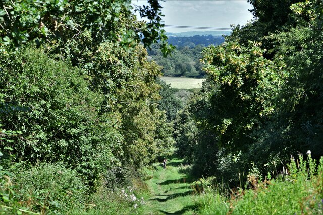
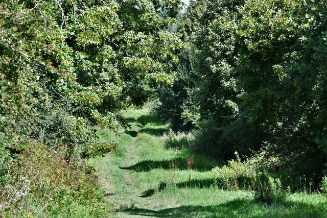
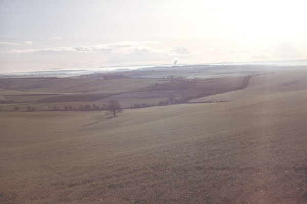
Pleck is a small village located in the county of Dorset, England. Situated in the heart of the Blackmore Vale, Pleck is surrounded by picturesque countryside and offers a tranquil and idyllic setting for its residents and visitors alike.

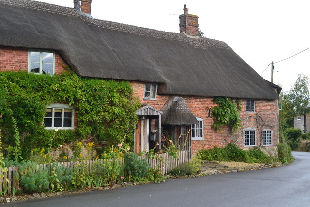
The village is known for its charming and traditional architecture, with many of the buildings dating back several centuries. The local economy is primarily based on agriculture, with farming playing a significant role in the community. The rolling hills and fertile land provide an ideal environment for farming activities, including the cultivation of crops and rearing of livestock.

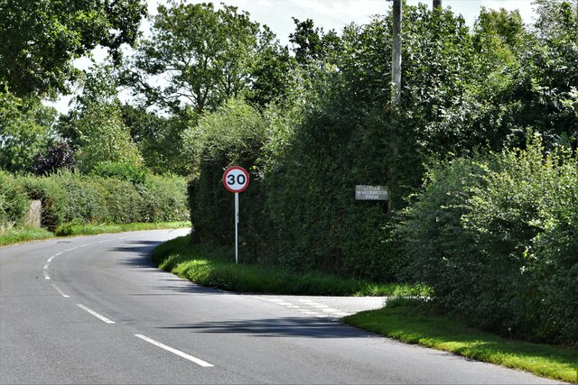
Pleck is well-connected to other nearby towns and villages through a network of well-maintained roads. The village is approximately 10 miles away from the market town of Sherborne, offering residents access to a wider range of amenities and services. The surrounding area also boasts several historical landmarks and attractions, including Sherborne Castle and Abbey, which draw tourists from far and wide.

Despite its small size, Pleck benefits from a close-knit and friendly community. The village has a village hall, which serves as a central hub for social events and community gatherings. Additionally, Pleck is home to a primary school, providing education for local children.

Overall, Pleck offers a peaceful and rural lifestyle, with a strong sense of community and a beautiful natural environment. It is a place where residents can escape the hustle and bustle of city life and enjoy the beauty of the Dorset countryside.

If you have any feedback on the listing, please let us know in the comments section below.
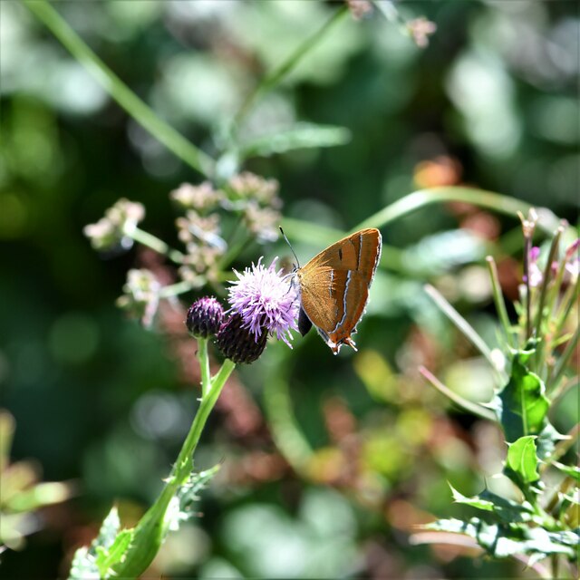
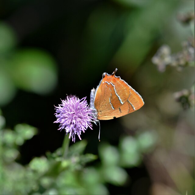
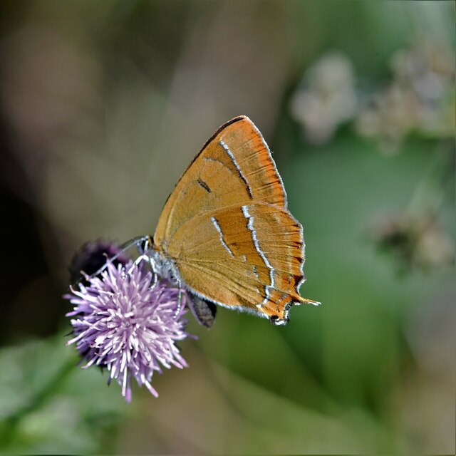
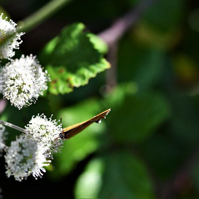
Pleck Images

Images are sourced within 2km of 50.873749/-2.3689129 or Grid Reference ST7408. Thanks to Geograph Open Source API. All images are credited.

Church of St Mary and St James, Hazelbury Bryan
Thatched cottage at Hazelbury Bryan
Farmland, Hazelbury Bryan From one of the many footpaths that criss-cross the village.
Farmland, Hazelbury Bryan
From one of the many footpaths that criss-cross the village.
View down Pleck Hill
Field edge near Star Farm
Wet lane between tall hedges Marsh Lane, Hazelbury Bryan
Wet lane between tall hedges
Marsh Lane, Hazelbury Bryan
Field edge path from the bend in Stoke Lane
St Mary and St James, Hazlebury Bryan Originally C15. See <span class="nowrap"><a title="https://britishlistedbuildings.co.uk/101110493-church-of-st-mary-and-st-james-hazelbury-bryan#.X0Iy-chKg2w" rel="nofollow ugc noopener" href="https://britishlistedbuildings.co.uk/101110493-church-of-st-mary-and-st-james-hazelbury-bryan#.X0Iy-chKg2w">Link</a><img style="margin-left:2px;" alt="External link" title="External link - shift click to open in new window" src="https://s1.geograph.org.uk/img/external.png" width="10" height="10"/></span> for entry in British Listed Buildings
St Mary and St James, Hazlebury Bryan
Originally C15. See LinkExternal link for entry in British Listed Buildings
House adjacent to St Mary and St James, Droop (Hazelbury Bryan) The inscription on the gable reads "This house was restored to the church A.D. 1939. Peace be within thy walls"
House adjacent to St Mary and St James, Droop (Hazelbury Bryan)
The inscription on the gable reads "This house was restored to the church A.D. 1939. Peace be within thy walls"
Alners Gorse Butterfly Reserve: Main track
Alners Gorse Butterfly Reserve: Sign
Alners Gorse Butterfly Reserve: Main track
Alners Gorse Butterfly Reserve: Brown Hairstreak 'Thecla betulae' 1
Alners Gorse Butterfly Reserve: Brown Hairstreak 'Thecla betulae' 2
Alners Gorse Butterfly Reserve: Brown Hairstreak 'Thecla betulae' 3
Alners Gorse Butterfly Reserve: Brown Hairstreak 'Thecla betulae' 4
Alners Gorse Butterfly Reserve: Sneezewort 'Achillea ptarmica'
Hazelbury Bryan: The Common
Show me another place!

Pleck is located at Grid Ref: ST7408 (Lat: 50.873749, Lng: -2.3689129)

Unitary Authority: Dorset

Police Authority: Dorset

What 3 Words

///wades.litigate.quietest. Near Sturminster Newton, Dorset

Related Wikis

Hazelbury Bryan

Hazelbury Bryan is a village and civil parish in the county of Dorset in southern England. It is situated in the Blackmore Vale, approximately five miles...

Dorset Downs

The Dorset Downs are an area of chalk downland in the centre of the county Dorset in south west England. The downs are the most western part of a larger...

Mappowder

Mappowder is a village and civil parish in the county of Dorset in southern England. The parish lies approximately 9 miles (14 kilometres) southeast of...

Stoke Wake

Stoke Wake is a hamlet and civil parish, formerly part of the Whiteway hundred in north Dorset, England. It is situated under Bulbarrow Hill on the edge...

King's Stag Memorial Chapel

King's Stag Memorial Chapel is a Church of England chapel in King's Stag, Dorset, England. == History == The memorial chapel at King's Stag was built in...

Pulham

Pulham is a village and civil parish in the county of Dorset in south-west England. It is situated in the Blackmore Vale, 7 miles (11 kilometres) southeast...

Bulbarrow Hill

Bulbarrow Hill is a 274 metres (899 ft) hill near Woolland, five miles west of Blandford Forum and ten miles (16 km) north of Dorchester in Dorset, England...

Woolland

Woolland is a village and civil parish in north Dorset, England, situated in the Blackmore Vale under Bulbarrow Hill 7 miles (11 km) west of Blandford...

Nearby Amenities

Located within 500m of 50.873749,-2.3689129
Post Box
Collection Times: Mo-Fr 15:30; Sa 10:15
Operator: Royal Mail
Post Box Mounting: pier
Post Box Type: lamp
Ref: DT10 91
Royal Cypher: EIIR
Royal Cypher Wikidata: Q33102113
Lat/Long: 50.871809/-2.3658152
Material: wood
Power: pole
Source: bing
Lat/Long: 50.8725685/-2.3645109
Material: wood
Power: pole
Source: bing
Lat/Long: 50.872648/-2.3629528
Material: wood
Power: pole
Source: bing
Lat/Long: 50.8744461/-2.3619002
Material: wood
Power: pole
Source: bing
Lat/Long: 50.8746994/-2.3631719
Material: wood
Power: pole
Source: bing
Lat/Long: 50.8747979/-2.3642818
Material: wood
Power: pole
Source: bing
Lat/Long: 50.8748774/-2.3653942
Material: wood
Power: pole
Source: bing
Lat/Long: 50.8758174/-2.3654628
Material: wood
Power: pole
Source: bing
Lat/Long: 50.8768677/-2.3666796
Material: wood
Power: pole
Source: bing
Lat/Long: 50.877321/-2.3662977
Wonston
Place: hamlet
Lat/Long: 50.8718179/-2.3650125
Pleck
Place: hamlet
Lat/Long: 50.8735233/-2.3699728
Fire Hydrant
Emergency: fire_hydrant
Fire Hydrant Type: underground
Lat/Long: 50.871549/-2.3644409
Fire Hydrant
Emergency: fire_hydrant
Fire Hydrant Type: underground
Lat/Long: 50.8715551/-2.364435
The data included in this document is from www.openstreetmap.org. The data is made available under ODbL.

Have you been to Pleck?

Leave your review of Pleck below (or comments, questions and feedback).