Plaxtol

Settlement in Kent Tonbridge and Malling

England

Plaxtol

Old Sour Road
Old Sour Road Credit: PAUL FARMER

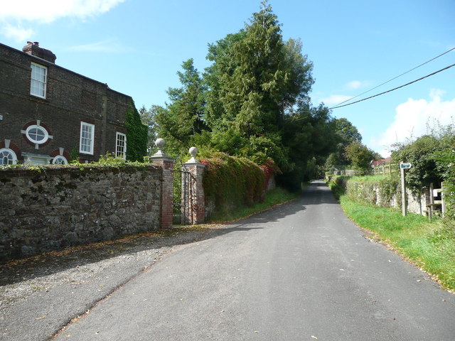
Plaxtol is a village located in the county of Kent, in southeastern England. Situated in the Tonbridge and Malling district, it is nestled in the picturesque countryside of the Kent Downs, designated an Area of Outstanding Natural Beauty. The village is located approximately 5 miles southwest of the town of Sevenoaks and around 30 miles southeast of London.

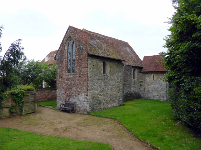
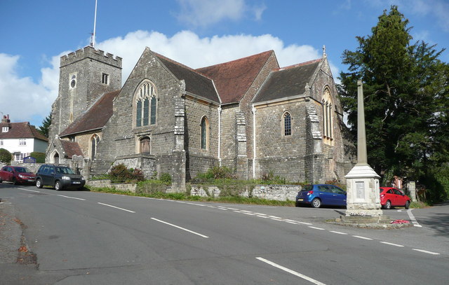
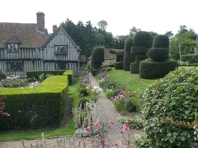
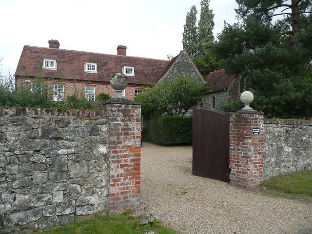
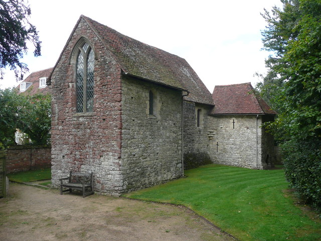
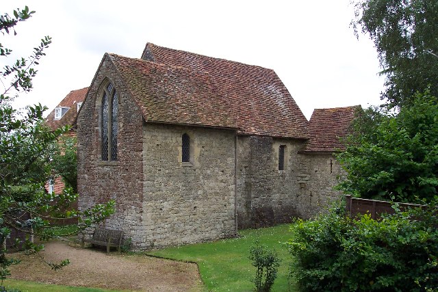
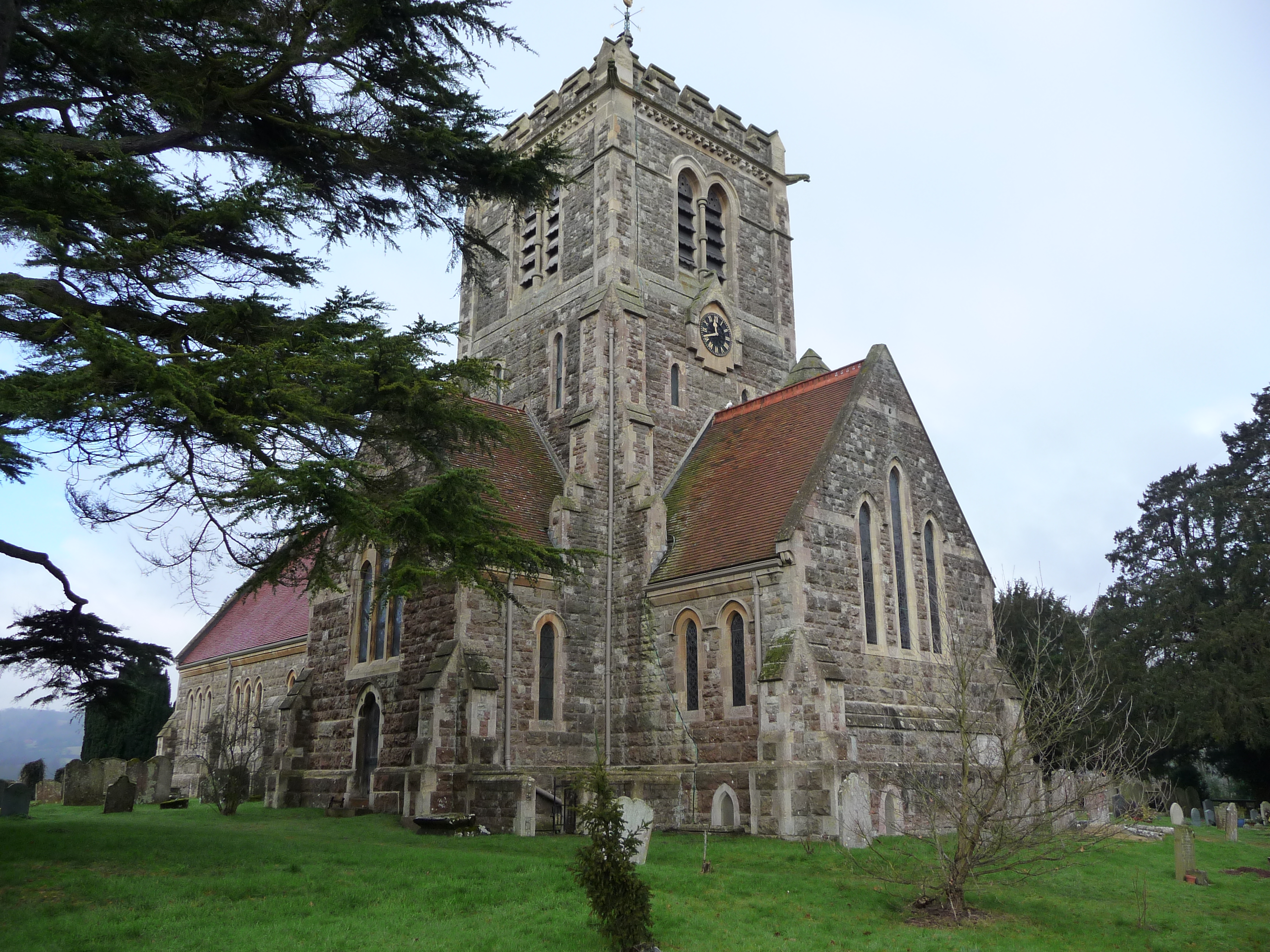
Plaxtol boasts a rich history, with evidence of human settlement dating back to the Iron Age. The village is characterized by its charming and traditional English architecture, with several notable historical buildings, including the 13th-century St. Giles Church and Plaxtol House, an impressive Grade II listed Georgian mansion.

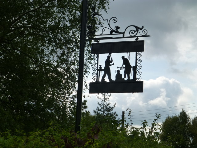
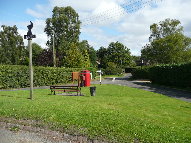
The village is home to a close-knit community, with a population of around 1,000 residents. Plaxtol offers a range of amenities to cater to its inhabitants, including a primary school, village hall, local shops, and a popular pub, The Papermakers Arms.

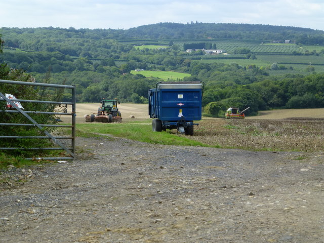
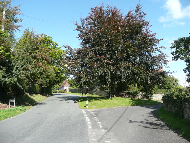
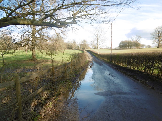
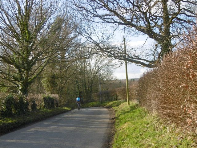
The surrounding countryside provides ample opportunities for outdoor activities, with numerous scenic walks and cycling routes. Plaxtol is also within easy reach of other attractions, such as the National Trust properties of Ightham Mote and Knole Park, both less than 10 miles away.

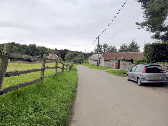
Transport links in Plaxtol are primarily road-based, with easy access to the A25 and A227, connecting the village to nearby towns and cities. The closest train station is in Borough Green, approximately 3 miles away, offering direct links to London and other major cities.

Overall, Plaxtol offers a tranquil and idyllic setting, combining historical charm with the beauty of the surrounding countryside. It is a desirable location for those seeking a peaceful rural lifestyle while still having access to nearby amenities and transport links.

If you have any feedback on the listing, please let us know in the comments section below.
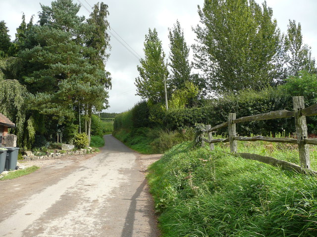
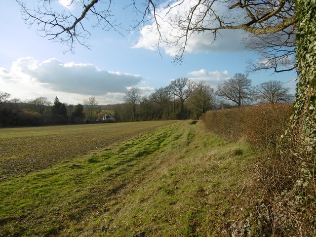
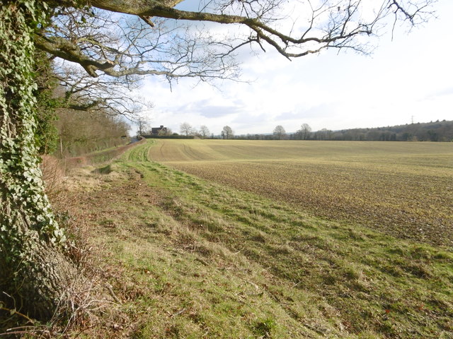
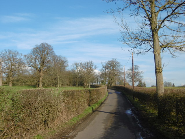
Plaxtol Images

Images are sourced within 2km of 51.25908/0.307274 or Grid Reference TQ6153. Thanks to Geograph Open Source API. All images are credited.

Old Sour Road
Old Sour Road
Old Soar Manor Old Soar Manor is a complete portion of stone manor house built c.1290.
Old Soar Manor
Old Soar Manor is a complete portion of stone manor house built c.1290.
Long Mill Lane  Crouch A new house adjacent to the Grey Ladies Oasts
Long Mill Lane Crouch
A new house adjacent to the Grey Ladies Oasts
Harvest at Long Mill Lane  Crouch Looking across to Sheet Hill
Harvest at Long Mill Lane Crouch
Looking across to Sheet Hill
Sign at Plaxtol Spout This sign is beside a small residential development that is on the site of Hyders Forge.
Sign at Plaxtol Spout
This sign is beside a small residential development that is on the site of Hyders Forge.
Plaxtol Church This church is unusual in having no dedication. It was built in 1649, but has 19C windows. It is listed, Grade II*. The war memorial is not yet listed.
Plaxtol Church
This church is unusual in having no dedication. It was built in 1649, but has 19C windows. It is listed, Grade II*. The war memorial is not yet listed.
Grass triangle with copper beech tree, Plaxtol
Topiary at Nut Tree Hall, Plaxtol Nut Tree Hall is listed, Grade II, and the listing details state that it was built in the 16C, and restored and altered in 1905 by Harrison Townsend.
Topiary at Nut Tree Hall, Plaxtol
Nut Tree Hall is listed, Grade II, and the listing details state that it was built in the 16C, and restored and altered in 1905 by Harrison Townsend.
Grange Hill at The Grange, Plaxtol The Grange is listed, Grade II*, and the listing details include: "House. Early C17 house refronted in 1702, remodelled in 1926 by Sir Edwin Lutyens." The 18C wall and gate piers are also listed, Grade II.
Grange Hill at The Grange, Plaxtol
The Grange is listed, Grade II*, and the listing details include: "House. Early C17 house refronted in 1702, remodelled in 1926 by Sir Edwin Lutyens." The 18C wall and gate piers are also listed, Grade II.
Grass triangle with village sign, Plaxtol This is perhaps a tiny village green, although on the outskirts rather than at the centre of the village. It has the classic pairing of a red telephone kiosk and a letter box, and also an old-style signpost, a village notice board, a bench and a centrally-placed litter bin.
Grass triangle with village sign, Plaxtol
This is perhaps a tiny village green, although on the outskirts rather than at the centre of the village. It has the classic pairing of a red telephone kiosk and a letter box, and also an old-style signpost, a village notice board, a bench and a centrally-placed litter bin.
Old Soar Manor House, Plaxtol The 18C red-brick house, which is listed, Grade II, is on the site of the hall of a medieval manor house, built in 1290 by William de Hore. The stone buildings to the right are the solar and chapel of the manor house, which is a scheduled ancient monument owned by the National Trust and open to the public via a separate entrance.
Old Soar Manor House, Plaxtol
The 18C red-brick house, which is listed, Grade II, is on the site of the hall of a medieval manor house, built in 1290 by William de Hore. The stone buildings to the right are the solar and chapel of the manor house, which is a scheduled ancient monument owned by the National Trust and open to the public via a separate entrance.
The chapel, solar and garderobe wing, Old Soar Manor House, Plaxtol These are the surviving parts of the manor house, which was built in 1290 by William de Hore. The chapel is in the foreground. This would have has an entrance at the top of an external staircase, but is now accessed from the solar by doorway inserted much later when the building was used as a granary. The solar is behind the chapel; the entrance is to the left, through a doorway into the barrel-roofed undercroft. The garderobe wing projects from the solar, and you can just see the round-headed doorway through which the manure was extracted.
The chapel, solar and garderobe wing, Old Soar Manor House, Plaxtol
These are the surviving parts of the manor house, which was built in 1290 by William de Hore. The chapel is in the foreground. This would have has an entrance at the top of an external staircase, but is now accessed from the solar by doorway inserted much later when the building was used as a granary. The solar is behind the chapel; the entrance is to the left, through a doorway into the barrel-roofed undercroft. The garderobe wing projects from the solar, and you can just see the round-headed doorway through which the manure was extracted.
The lane to the north from Old Soar Manor House, Plaxtol I was interested in the wooden fence on the right, which I presume is a traditional type.
The lane to the north from Old Soar Manor House, Plaxtol
I was interested in the wooden fence on the right, which I presume is a traditional type.
Field next to Hamptons Road This was a lovely clear afternoon light in Kent. This field is next to the road from Hadlow to Paxtol and opposite the junction with Park Road.
Field next to Hamptons Road
This was a lovely clear afternoon light in Kent. This field is next to the road from Hadlow to Paxtol and opposite the junction with Park Road.
Park Road near Hadlow This was a lovely clear afternoon light in Kent. This is Park Road leading away from Hamptons Road.
Park Road near Hadlow
This was a lovely clear afternoon light in Kent. This is Park Road leading away from Hamptons Road.
Park Road near Hadlow This is Park Road leading away from Hamptons Road after recent rain.
Park Road near Hadlow
This is Park Road leading away from Hamptons Road after recent rain.
A cyclist heads downhill This is Hamptons Road on the way from Hadlow to Paxtol. It was a lovely clear afternoon light in Kent as a cyclist heads downhill.
A cyclist heads downhill
This is Hamptons Road on the way from Hadlow to Paxtol. It was a lovely clear afternoon light in Kent as a cyclist heads downhill.
Show me another place!

Plaxtol is located at Grid Ref: TQ6153 (Lat: 51.25908, Lng: 0.307274)

Administrative County: Kent

District: Tonbridge and Malling

Police Authority: Kent

What 3 Words

///lion.split.dreams. Near Borough Green, Kent

Nearby Locations

Broadfield Shaw Plaxtol

Related Wikis

Plaxtol

Plaxtol is a village and civil parish in the borough of Tonbridge and Malling in Kent, England. The village is located around 5 miles (8 km) north of Tonbridge...

Yopps Green

Yopps Green is a hamlet in the Tonbridge and Malling District, in the county of Kent, England. It is part of the small village of Plaxtol. == Location... ==

Old Soar Manor

Old Soar Manor is an English Heritage property, owned and maintained by the National Trust. Located near Plaxtol, Kent, England, it is a small 13th century...

Bourne Alder Carr

Bourne Alder Carr is a 13.4-hectare (33-acre) biological Site of Special Scientific Interest east of Sevenoaks in Kent.The River Bourne runs through a...

Fairlawne

Fairlawne is a Grade I listed house in Shipbourne, Kent, England, about 30 miles southeast of central London. The Fairlawne Estate is extensive and stretches...

Claygate Cross

Claygate Cross is a hamlet in the Tonbridge and Malling district, in the English county of Kent. == Location == It is near the River Bourne. Nearby settlements...

Shipbourne

Shipbourne ( SHIB-ərn) is a village and civil parish situated between the towns of Sevenoaks and Tonbridge, in the borough of Tonbridge and Malling in...

Basted, Kent

Basted is a hamlet in the Tonbridge and Malling district, in the county of Kent, England. == Nearby settlements == === Town === Sevenoaks === Villages... ===

Related Videos

Our visit to Ightham Mote in Kent

A tour around the house and grounds of Ightam Mote in Kent. This 14th-century National Trust manor house, surrounded by a ...

"Family Time" - Location & The Shot 📸 #photography

Captured this moment between a grandparent and his grandchild while at Ightham Mote this weekend #photography #family ...

Would YOU Visit This Medieval Manor House HIDDEN AWAY In Kent?

This is a 4K walking tour of the amazing Ightham Mote near Sevenoaks in Kent - a historical manor house in a tranquil and ...

Nearby Amenities

Located within 500m of 51.25908,0.307274
Power: tower
Lat/Long: 51.2623531/0.3100319
Power: tower
Lat/Long: 51.2576934/0.3108743
Power: tower
Lat/Long: 51.2553676/0.3113035
Bus Stop
Red Lion
Naptan AtcoCode: 2400A005500A
Naptan Bearing: E
Naptan CommonName: Red Lion
Naptan Indicator: E-bound
Naptan Landmark: St Hildas
Naptan NaptanCode: kntagwmj
Naptan Street: The Street
Naptan Verified: no
Public Transport: platform
Source: naptan_import
Lat/Long: 51.2583427/0.3042559
Bus Stop
Spoute
Naptan AtcoCode: 2400A005510A
Naptan Bearing: NE
Naptan CommonName: Spoute
Naptan Indicator: NE-bound
Naptan Landmark: Dux Hill
Naptan NaptanCode: kntagwmp
Naptan Street: Brook Lane
Naptan Verified: yes
Public Transport: platform
Shelter: no
Source: naptan_import
Lat/Long: 51.2586987/0.3073061
Turning Circle
Lat/Long: 51.2600614/0.3075218
Power: tower
Lat/Long: 51.260898/0.3100802
Post Box
Collection Times: Mo-Fr 09:00; Sa 07:00; Su off
Colour: red
Operator: Royal Mail
Post Box Type: lamp
Ref: TN15 107D
Royal Cypher: EIIR
Royal Cypher Wikidata: Q33102113
Lat/Long: 51.2592311/0.3076172
Defibrillator
Access: yes
Booth: K6
Covered: booth
Defibrillator Location: inside red phone box in Plaxtol
Emergency: defibrillator
Man Made: telephone_box
Lat/Long: 51.2592464/0.3076861
Bench
Lat/Long: 51.2591627/0.3076026
Information: board
Tourism: information
Lat/Long: 51.2592307/0.3076287
Restaurant
The Papermakers Arms
Addr City: Sevenoaks
Addr Housename: Papermakers Arms
Addr Postcode: TN15 0QJ
Addr Street: The Street
Cuisine: american;brittish
Diet Meat: yes
Phone: 01732 810407
Website: https://www.papermakersarms.com/
Lat/Long: 51.2578885/0.3004643
Playground: playhouse
Wheelchair: no
Lat/Long: 51.2586288/0.3088084
Blind: limited
Playground: playhouse
Playground Theme: ship
Wheelchair: limited
Lat/Long: 51.2586252/0.3089004
The data included in this document is from www.openstreetmap.org. The data is made available under ODbL.

Have you been to Plaxtol?

Leave your review of Plaxtol below (or comments, questions and feedback).