Platt's Heath
Settlement in Kent Maidstone
England
Platt's Heath

Platt's Heath is a quaint village located in the county of Kent, in southeastern England. Situated near the larger towns of Maidstone and Sevenoaks, this idyllic countryside community offers a peaceful retreat from the hustle and bustle of city life.
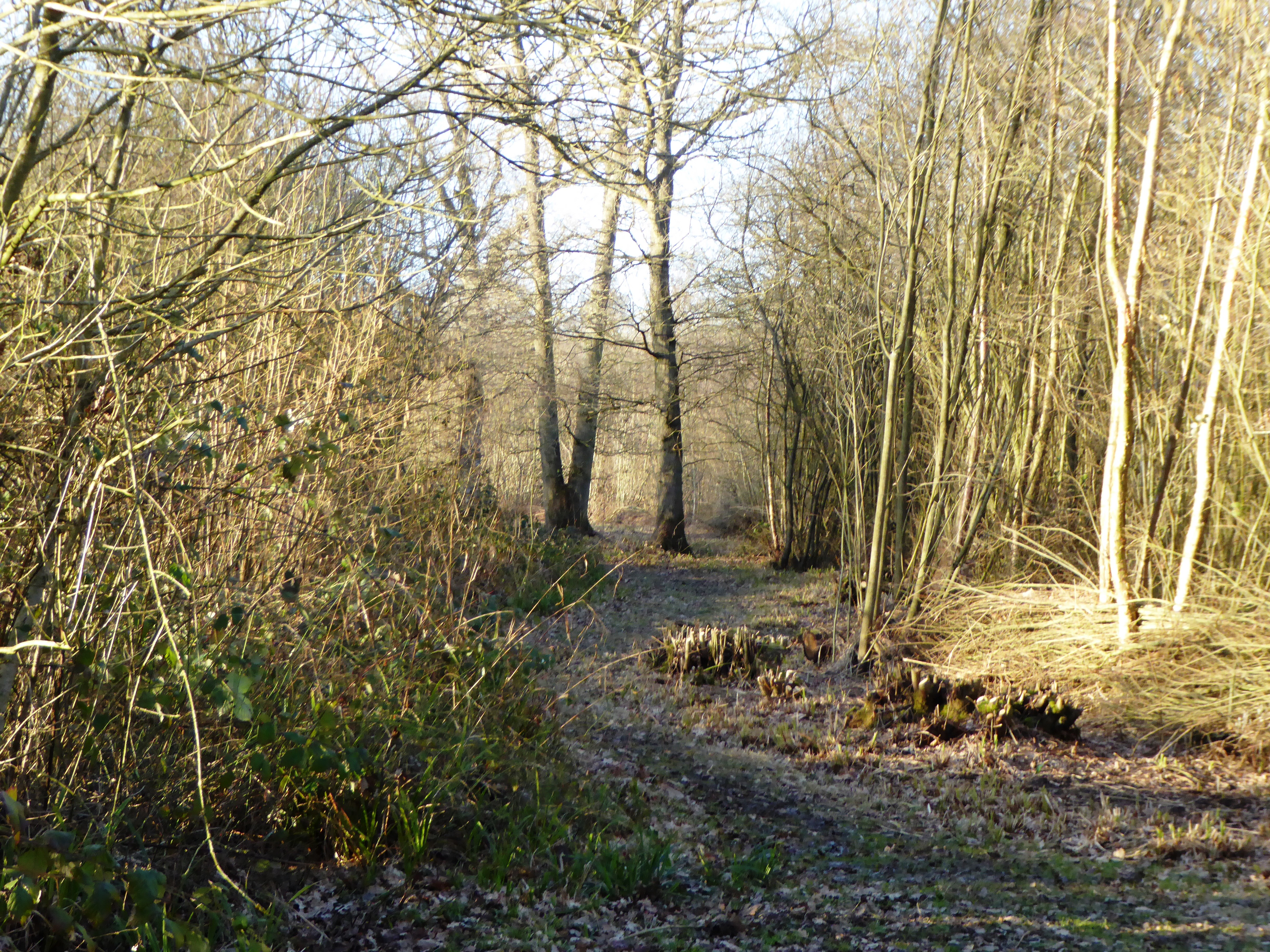
The village is known for its picturesque landscapes, with rolling hills, lush green meadows, and charming farmlands dominating the scenery. It is a haven for nature lovers and outdoor enthusiasts, offering ample opportunities for hiking, cycling, and leisurely walks along its scenic trails. The nearby Platt's Heath Woods, a designated nature reserve, is a popular spot for birdwatching and enjoying the local flora and fauna.
Platt's Heath is home to a close-knit community, with a population of around 500 residents. The village has a small primary school, providing quality education for the local children. The village hall serves as a gathering place for community events and social activities, fostering a strong sense of community spirit.
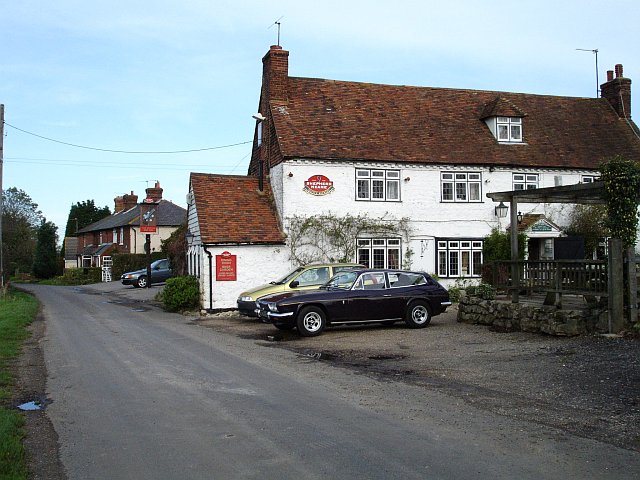
While Platt's Heath is primarily a residential area, it benefits from its proximity to larger towns and cities. Residents have easy access to amenities such as shops, supermarkets, and healthcare facilities in nearby towns. The village also boasts a charming pub, where locals and visitors can enjoy traditional British cuisine and a friendly atmosphere.
Overall, Platt's Heath offers a peaceful and picturesque setting for those seeking a tranquil village life, with the added convenience of nearby amenities and easy access to the wider region of Kent.
If you have any feedback on the listing, please let us know in the comments section below.
Platt's Heath Images
Images are sourced within 2km of 51.222989/0.688788 or Grid Reference TQ8750. Thanks to Geograph Open Source API. All images are credited.


Platt's Heath is located at Grid Ref: TQ8750 (Lat: 51.222989, Lng: 0.688788)
Administrative County: Kent
District: Maidstone
Police Authority: Kent
What 3 Words
///advances.mule.lilac. Near Harrietsham, Kent
Nearby Locations
Related Wikis

Platt's Heath
Platts Heath is a hamlet in the civil parish of Lenham, Kent, England. It is also the source of the River Len, which flows in a westerly direction to join...
Sandway
Sandway is a hamlet about one mile (1.6 km) to the SW of Lenham in the Maidstone district of Kent, England. The population is included in the civil parish...
Boughton Malherbe
Boughton Malherbe ( BAW-tən MAL-ər-bee) is a village and civil parish in the Maidstone district of Kent, England, equidistant between Maidstone and Ashford...
Kiln Wood
Kiln Wood is a 6-hectare (15-acre) nature reserve south of Lenham in Kent. It is managed by Kent Wildlife Trust.This wood is mainly oak, hornbeam and...

Grafty Green
Grafty Green is a village in the Maidstone district of Kent, England, falling within the civil parish of Boughton Malherbe. It contains two public houses...
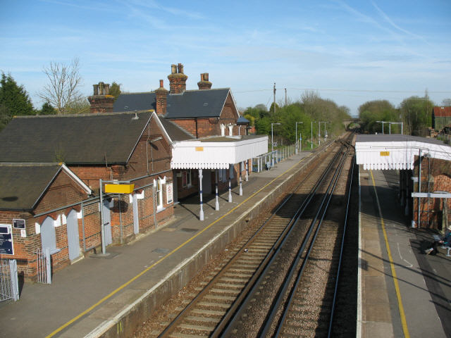
Lenham railway station
Lenham railway station serves Lenham in Kent, England. It is 49 miles 11 chains (79.1 km) down the line from London Victoria. The station, and all trains...
Hollingbourne Rural District
Hollingbourne Rural District was a rural district in the county of Kent, England. It was named after the village of Hollingbourne. Following the Local...
Fairbourne Heath, Kent
Fairbourne Heath is a scattered settlement in the civil parish of Harrietsham, Kent, England. It is located on a crossroads of two minor roads. Fairbourne...
Nearby Amenities
Located within 500m of 51.222989,0.688788Have you been to Platt's Heath?
Leave your review of Platt's Heath below (or comments, questions and feedback).