Platt

Settlement in Kent Tonbridge and Malling

England

Platt

A new roundabout at Wrotham Heath This is where the B2016 - Seven Mile Lane - joins the A26.  It's a busy junction, I had a long wait before there were no cars negotiating it.
A new roundabout at Wrotham Heath Credit: Ron Lee

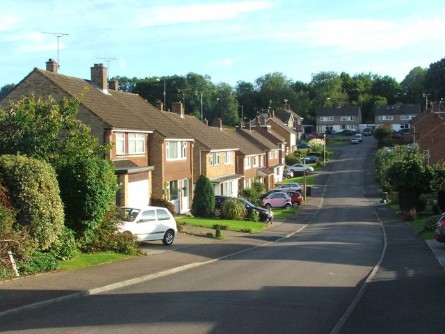
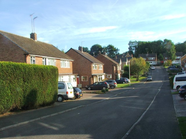
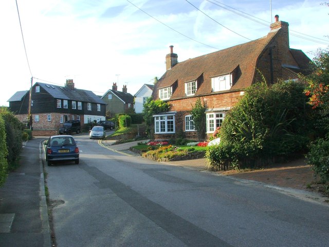
Platt is a small village located in the county of Kent in southeastern England. Situated about 5 miles south of Sevenoaks, Platt is nestled in the picturesque North Downs, offering residents and visitors beautiful views of the surrounding countryside.

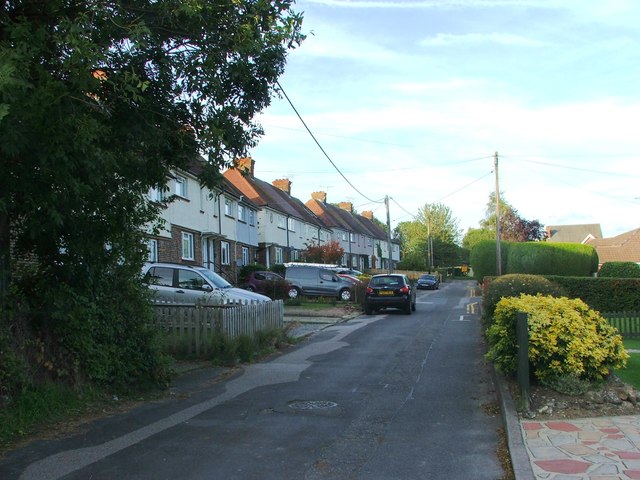
The village is known for its charming and peaceful atmosphere, making it an ideal place for those seeking a quiet and tranquil lifestyle. The community in Platt is close-knit and friendly, with a population of around 1,000 residents.

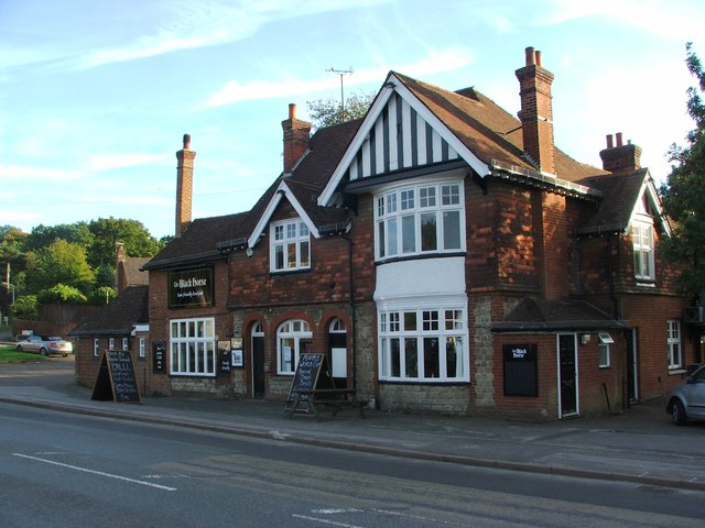
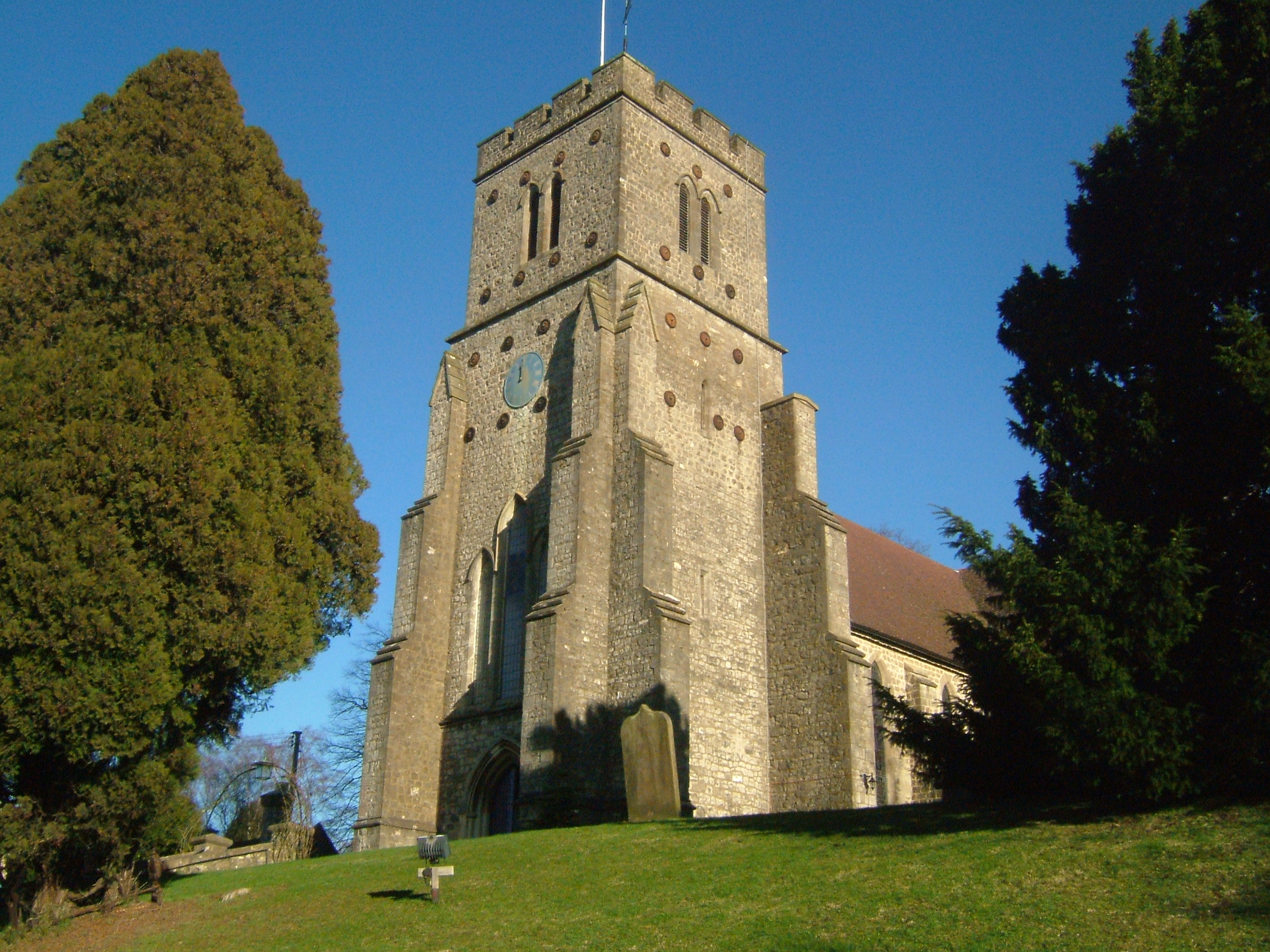
Despite its small size, Platt has a range of amenities to cater to the needs of its inhabitants. These include a local primary school, a village hall, and a post office. The village is also home to a quaint 12th-century church, St. Mary's, which adds to the historical charm of the area.

Platt is surrounded by stunning natural landscapes, making it a popular destination for outdoor enthusiasts. The village is located near several walking and cycling trails, allowing residents to explore the picturesque countryside. The nearby Meopham Valley Vineyard is also a favorite spot for wine lovers, offering wine tastings and tours.

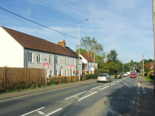
With its convenient location, Platt provides easy access to nearby towns and cities. The bustling town of Sevenoaks, with its array of shops, restaurants, and entertainment options, is just a short drive away. The village is also well-connected to London, with regular train services from nearby stations.

Overall, Platt offers its residents a peaceful and idyllic countryside lifestyle while providing easy access to essential amenities and nearby urban centers.

If you have any feedback on the listing, please let us know in the comments section below.
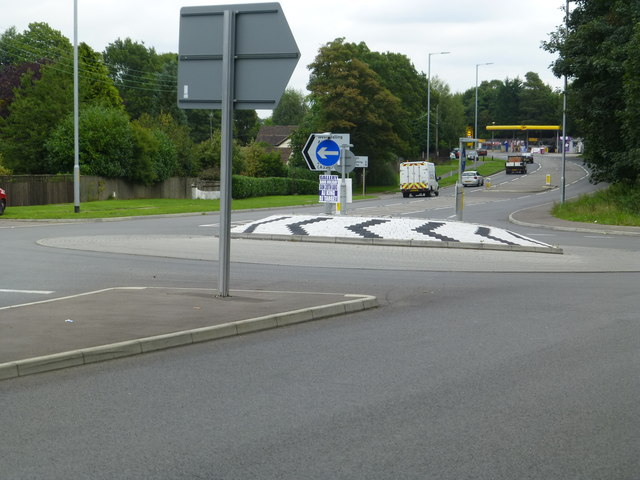
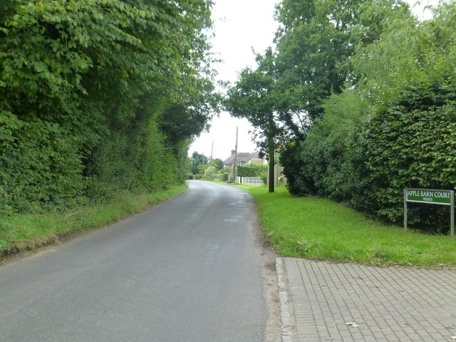
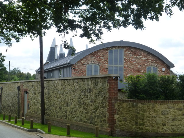
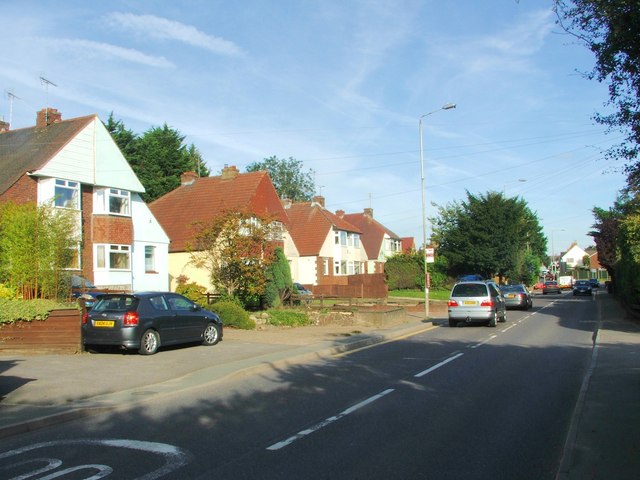
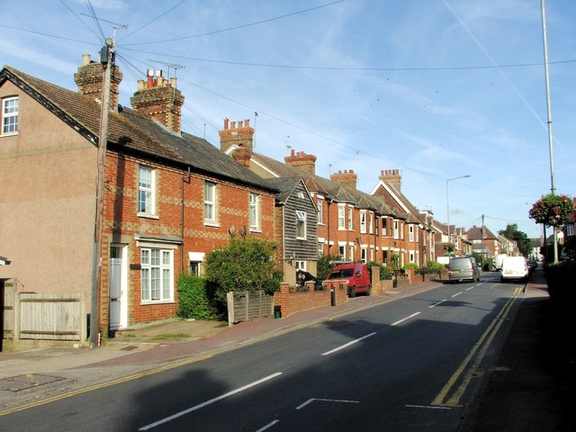
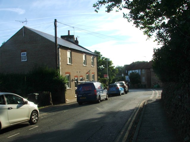
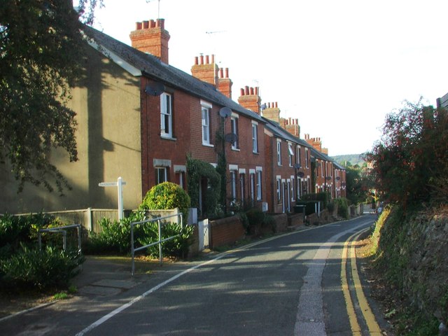
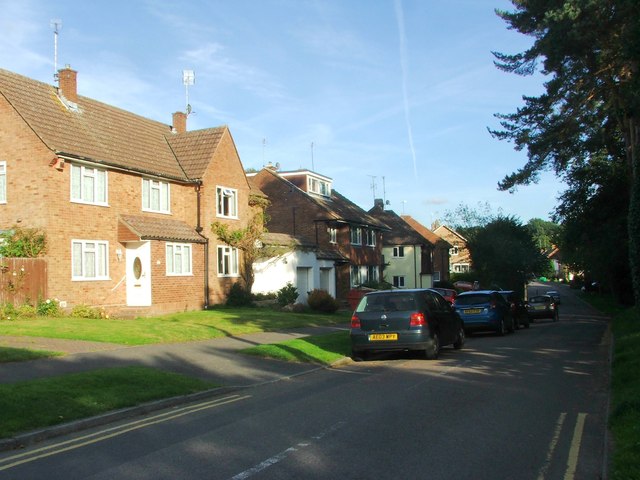
Platt Images

Images are sourced within 2km of 51.289162/0.324602 or Grid Reference TQ6257. Thanks to Geograph Open Source API. All images are credited.

A new roundabout at Wrotham Heath This is where the B2016 - Seven Mile Lane - joins the A26.  It's a busy junction, I had a long wait before there were no cars negotiating it.
A new roundabout at Wrotham Heath
This is where the B2016 - Seven Mile Lane - joins the A26. It's a busy junction, I had a long wait before there were no cars negotiating it.
Long Mill Lane  Crouch
Long Mill Lane Crouch
Long Mill Lane  Crouch A new house adjacent to the Grey Ladies Oasts
Long Mill Lane Crouch
A new house adjacent to the Grey Ladies Oasts
The Captain's Walk, Platt This is a row of four almshouses, listed Grade II. The listing details state that it was built c. 1850 in Tudor-Revival style. They are managed by the Betenson Trust.
The Captain's Walk, Platt
This is a row of four almshouses, listed Grade II. The listing details state that it was built c. 1850 in Tudor-Revival style. They are managed by the Betenson Trust.
Sevenoaks Road, Borough Green
Western Road, Borough Green
Quarry Hill Road, Borough Green
Rock Road, Borough Green
Harrison Road, Borough Green
Crowhurst Road, Borough Green
Lendon Road, Borough Green
Crow Hill Road, Borough Green
Maidstone Road, St. Mary's Platt
Long Mill Lane, St. Mary's Platt
Blue Anchor, St. Mary's Platt
Long Mill Lane, St. Mary's Platt
The Black Horse, Borough Green
Hill View, Borough Green
Show me another place!

Platt is located at Grid Ref: TQ6257 (Lat: 51.289162, Lng: 0.324602)

Administrative County: Kent

District: Tonbridge and Malling

Police Authority: Kent

What 3 Words

///waddled.major.cheek. Near Borough Green, Kent

Related Wikis

Platt, Kent

Platt, or St. Mary's Platt is a village and civil parish in the local government district of Tonbridge and Malling in Kent, England. The hamlet of Crouch...
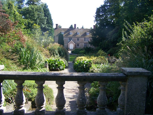
Great Comp Garden

Great Comp Garden is a Georgian farmhouse and garden, located on Comp Lane near the hamlet of Comp in Kent, England. It was developed by Roderick and Joyce...

Comp, Kent

Comp is a hamlet in the Tonbridge and Malling district, in the English county of Kent. == History == In 1240, the town was known as Camp de Wrotha (an...

Borough Green

Borough Green is situated in the borough of Tonbridge and Malling in Kent, England. The central area is situated on the A25 road between Maidstone and...

Borough Green & Wrotham railway station

Borough Green & Wrotham railway station is located in Borough Green in Kent, England. It is 29 miles 46 chains (47.6 km) down the line from London Victoria...

Wrotham School

Wrotham School is a coeducational secondary school and sixth form with academy status, near Sevenoaks, Kent, England. It has about 760 registered students...

Wrotham Heath

Wrotham Heath is a settlement in the borough of Tonbridge and Malling in Kent, England. It is part of the civil parish of Wrotham, and is approximately...

Claygate Cross

Claygate Cross is a hamlet in the Tonbridge and Malling district, in the English county of Kent. == Location == It is near the River Bourne. Nearby settlements...

Nearby Amenities

Located within 500m of 51.289162,0.324602
St Mary's Platt
Place: village
Lat/Long: 51.2896265/0.3237301
Pub
Blue Anchor
Lat/Long: 51.2902423/0.3241153
Post Box
Collection Times: Mo-Fr 09:00; Sa 07:00; Su off
Colour: Red
Post Box Type: pillar
Ref: TN15 257
Royal Cypher: GR
Royal Cypher Wikidata: Q33102273
Lat/Long: 51.2915221/0.321044
Bus Stop
Maidstone Road
Naptan AtcoCode: 2400A005320A
Naptan Bearing: W
Naptan CommonName: Maidstone Road
Naptan Indicator: opp 14
Naptan Landmark: Op No 14 Maidstone Rd
Naptan NaptanCode: kntagwga
Naptan Street: Maidstone Rd
Naptan Verified: no
Public Transport: platform
Source: naptan_import
Lat/Long: 51.2927807/0.3255599
Bus Stop
Platt Flour Mill
Naptan AtcoCode: 2400A005330A
Naptan Bearing: W
Naptan CommonName: Platt Flour Mill
Naptan Indicator: W-bound
Naptan Landmark: Long Mill Ln
Naptan NaptanCode: kntagwgd
Naptan Street: Maidstone Rd
Naptan Verified: no
Public Transport: platform
Source: naptan_import
Lat/Long: 51.2916604/0.3212862
Post Box
Collection Times: Mo-Fr 16:45; Sa 10:45; Su off
Colour: Red
Ref: TN15 248
Royal Cypher: EIIR
Royal Cypher Wikidata: Q33102113
Lat/Long: 51.2885582/0.3251142
Generator Method: photovoltaic
Generator Output Electricity: yes
Generator Source: solar
Generator Type: solar_photovoltaic_panel
Location: roof
Power: generator
Lat/Long: 51.286779/0.3303301
Generator Method: photovoltaic
Generator Output Electricity: yes
Generator Source: solar
Generator Type: solar_photovoltaic_panel
Location: roof
Power: generator
Lat/Long: 51.2874466/0.3265107
Generator Method: photovoltaic
Generator Output Electricity: yes
Generator Source: solar
Generator Type: solar_photovoltaic_panel
Location: roof
Power: generator
Lat/Long: 51.2896558/0.3248799
Generator Method: photovoltaic
Generator Output Electricity: yes
Generator Source: solar
Generator Type: solar_photovoltaic_panel
Location: roof
Power: generator
Lat/Long: 51.2896609/0.3249429
Generator Method: photovoltaic
Generator Output Electricity: yes
Generator Source: solar
Generator Type: solar_photovoltaic_panel
Location: roof
Power: generator
Lat/Long: 51.2917341/0.329504
Generator Method: photovoltaic
Generator Output Electricity: yes
Generator Source: solar
Generator Type: solar_photovoltaic_panel
Location: roof
Power: generator
Lat/Long: 51.2915295/0.3254914
Generator Method: photovoltaic
Generator Output Electricity: yes
Generator Source: solar
Generator Type: solar_photovoltaic_panel
Location: roof
Power: generator
Lat/Long: 51.2910112/0.3238606
Generator Method: photovoltaic
Generator Output Electricity: yes
Generator Source: solar
Generator Type: solar_photovoltaic_panel
Location: roof
Power: generator
Lat/Long: 51.2920897/0.3192902
The data included in this document is from www.openstreetmap.org. The data is made available under ODbL.

Have you been to Platt?

Leave your review of Platt below (or comments, questions and feedback).