Gallows Hill
Hill, Mountain in Kent Tonbridge and Malling
England
Gallows Hill

Gallows Hill is a small hill located in the county of Kent, England. Situated near the town of Cranbrook, it is part of the High Weald Area of Outstanding Natural Beauty. Despite its name, Gallows Hill is not a mountain but rather a modest hill, rising to an elevation of approximately 100 meters (330 feet) above sea level.
The hill is known for its historical significance and association with capital punishment during the medieval period. It is believed to have been a site where public executions took place, hence the name Gallows Hill. The exact number of executions that occurred there is uncertain, but it is known that the hill served as a gallows site for the surrounding area.
Today, Gallows Hill is a popular spot for outdoor enthusiasts and nature lovers. It offers stunning panoramic views of the surrounding countryside, with rolling hills and picturesque landscapes. The hill is covered in lush greenery, featuring a mix of grasslands, woodland areas, and wildflowers.
Visitors to Gallows Hill can enjoy various recreational activities such as hiking, walking, and picnicking. Several footpaths and trails crisscross the area, providing opportunities for exploration and discovery. The hill's tranquil and serene atmosphere makes it an ideal destination for those seeking a peaceful escape from the bustling city life.
Gallows Hill, with its historical significance and natural beauty, remains a cherished landmark in Kent, attracting both locals and tourists alike.
If you have any feedback on the listing, please let us know in the comments section below.
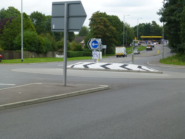
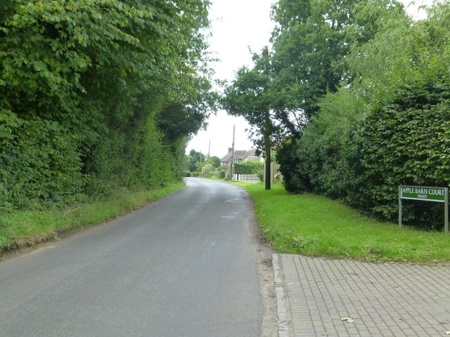
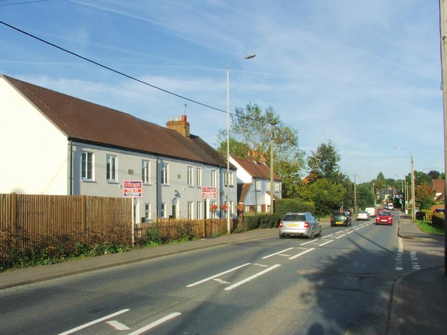
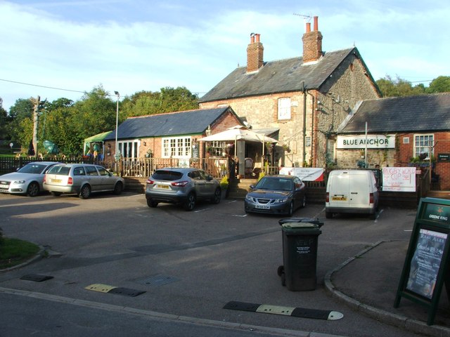
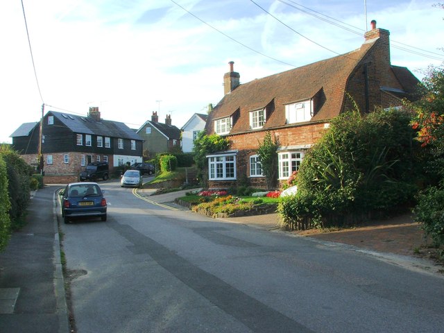
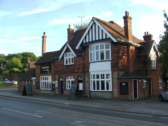
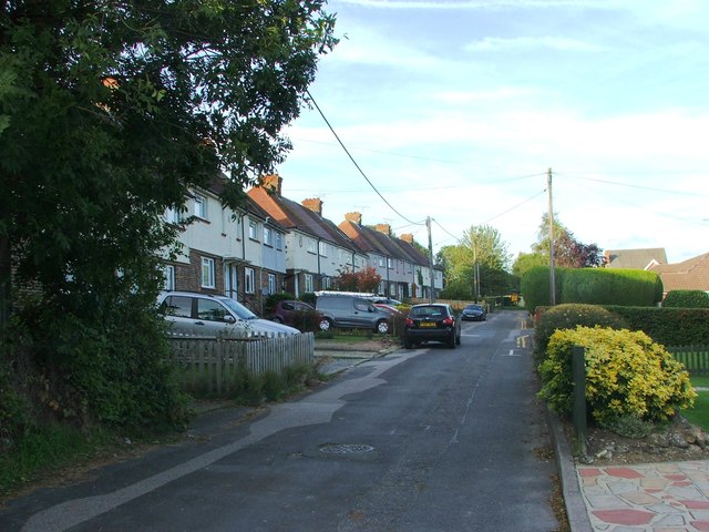
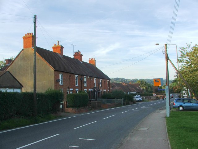
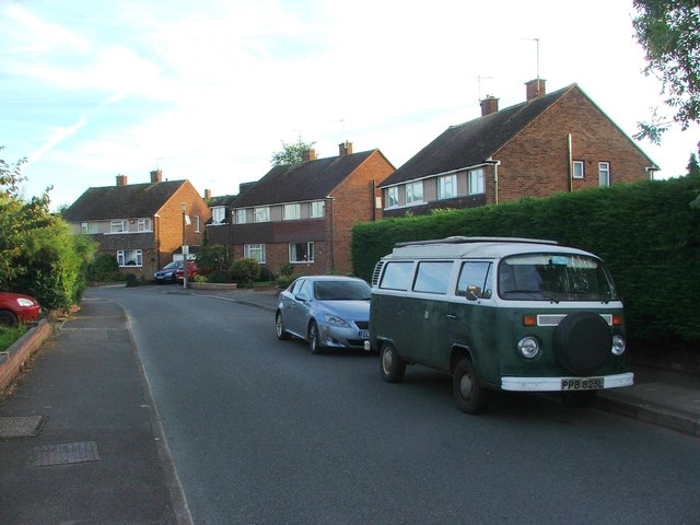
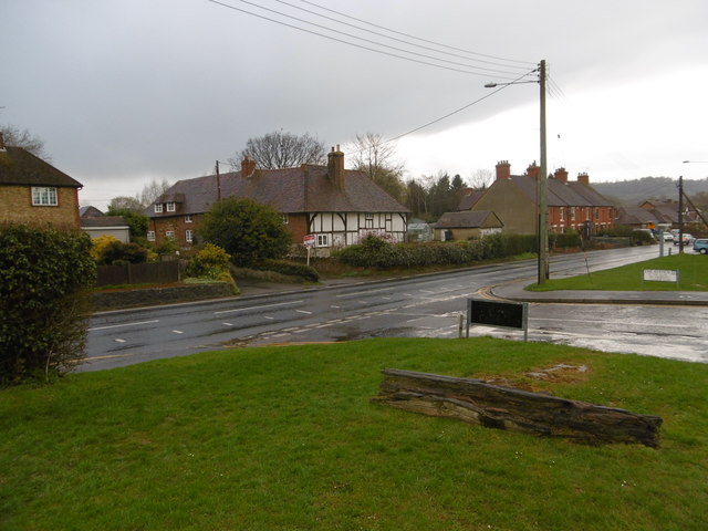
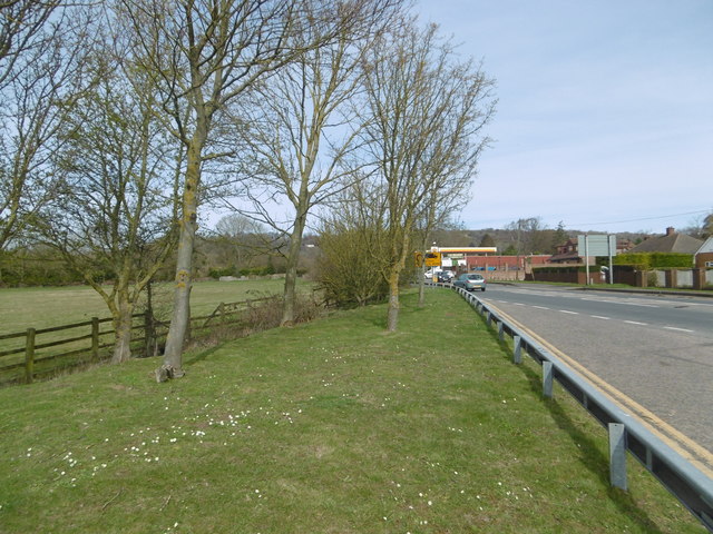
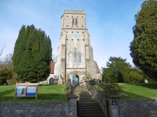
Gallows Hill Images
Images are sourced within 2km of 51.296102/0.33582511 or Grid Reference TQ6257. Thanks to Geograph Open Source API. All images are credited.


Gallows Hill is located at Grid Ref: TQ6257 (Lat: 51.296102, Lng: 0.33582511)
Administrative County: Kent
District: Tonbridge and Malling
Police Authority: Kent
What 3 Words
///hunt.snows.penny. Near Wrotham, Kent
Nearby Locations
Related Wikis

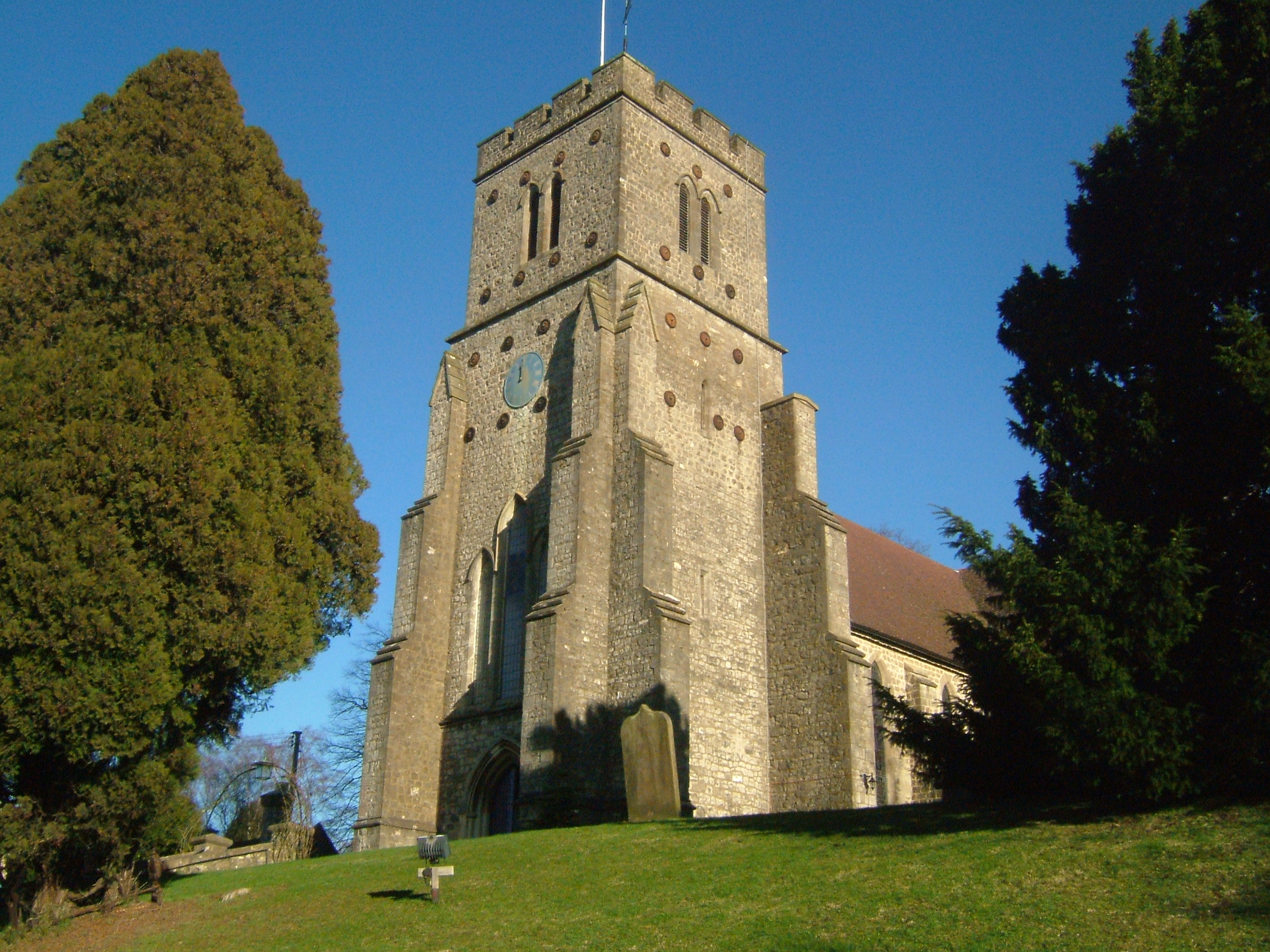
Wrotham Heath
Wrotham Heath is a settlement in the borough of Tonbridge and Malling in Kent, England. It is part of the civil parish of Wrotham, and is approximately...
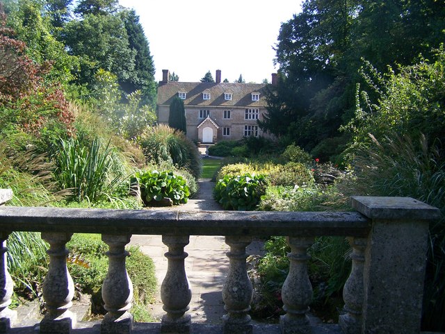
Great Comp Garden
Great Comp Garden is a Georgian farmhouse and garden, located on Comp Lane near the hamlet of Comp in Kent, England. It was developed by Roderick and Joyce...
Platt, Kent
Platt, or St. Mary's Platt is a village and civil parish in the local government district of Tonbridge and Malling in Kent, England. The hamlet of Crouch...

Addington, Kent
Addington is a village in the English county of Kent. It is close to the M20 motorway, and between the villages of Wrotham Heath and West Malling. In the...
Comp, Kent
Comp is a hamlet in the Tonbridge and Malling district, in the English county of Kent. == History == In 1240, the town was known as Camp de Wrotha (an...

Tonbridge and Malling
Tonbridge and Malling is a local government district with borough status in Kent, England. The council is based at Kings Hill. The borough also includes...
Wrotham School
Wrotham School is a coeducational secondary school and sixth form with academy status, near Sevenoaks, Kent, England. It has about 760 registered students...

Borough Green & Wrotham railway station
Borough Green & Wrotham railway station is located in Borough Green in Kent, England. It is 29 miles 46 chains (47.6 km) down the line from London Victoria...
Nearby Amenities
Located within 500m of 51.296102,0.33582511Have you been to Gallows Hill?
Leave your review of Gallows Hill below (or comments, questions and feedback).