Windmill Hill

Hill, Mountain in Kent Tonbridge and Malling

England

Windmill Hill

Teston Road Offham by the railway line This gate is where there was once a level crossing to the A20. On the A20 side, where there is now a garage, there used to be an all-night transport cafe in a wooden building. They were there in 1956 but had gone by 1979.
Teston Road Offham by the railway line Credit: Ron Lee

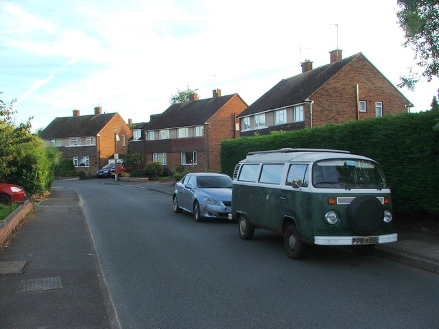
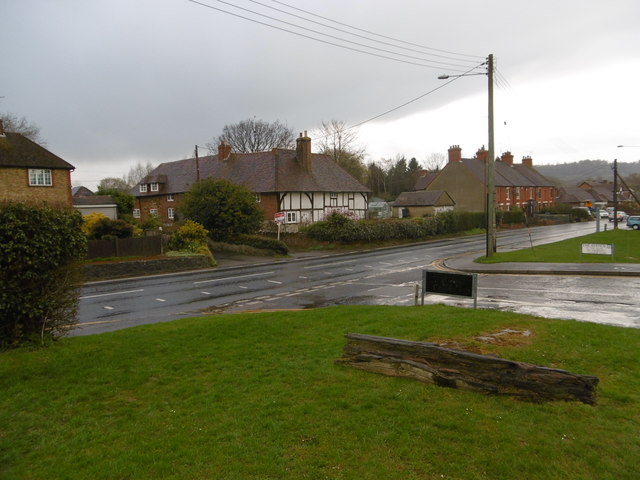
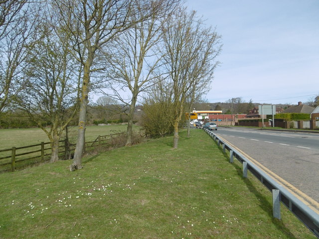
Windmill Hill is a prominent hill located in the county of Kent, England. Situated near the village of Hollingbourne, it is part of the North Downs, a range of chalk hills in southern England. Rising to an elevation of approximately 197 meters (646 feet), Windmill Hill offers panoramic views of the surrounding countryside, making it a popular destination for locals and tourists alike.

The hill derives its name from the presence of a windmill that once stood on its summit. Although the windmill itself no longer exists, remnants of its base can still be seen, adding a historical element to the site. The hill is also known for its diverse range of flora and fauna, including wildflowers, butterflies, and various bird species.

Windmill Hill is accessible via footpaths and country lanes, allowing visitors to enjoy leisurely walks and hikes. The surrounding area offers additional attractions, such as the nearby Leeds Castle and the Pilgrim's Way, a historic route that runs through the countryside.

The hill is a popular spot for outdoor activities, including picnicking, kite flying, and wildlife observation. On clear days, the view from the summit stretches across the rolling hills and valleys of Kent, providing a picturesque backdrop for visitors. Windmill Hill offers a peaceful and scenic escape for nature enthusiasts and those seeking a tranquil retreat in the heart of the English countryside.

If you have any feedback on the listing, please let us know in the comments section below.

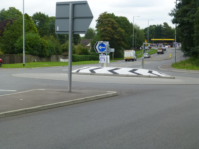
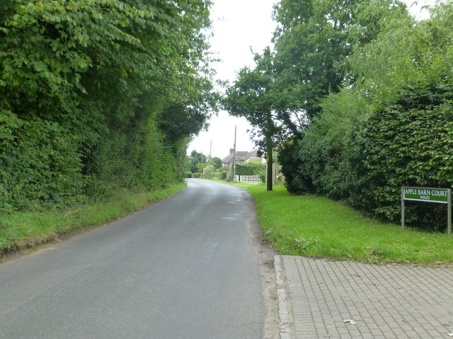
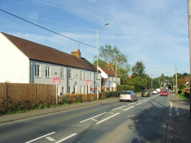
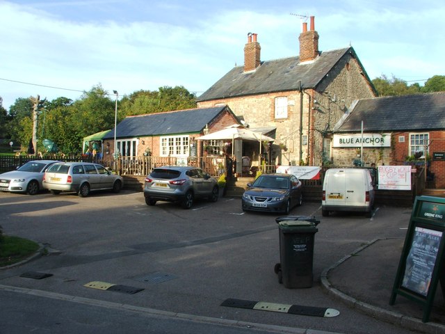
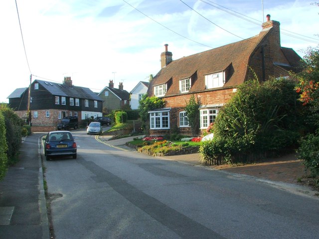
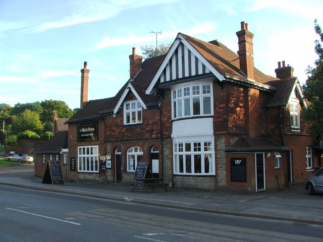
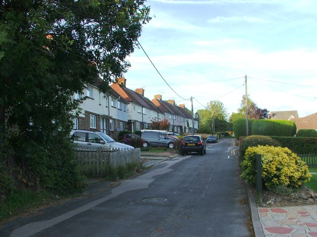
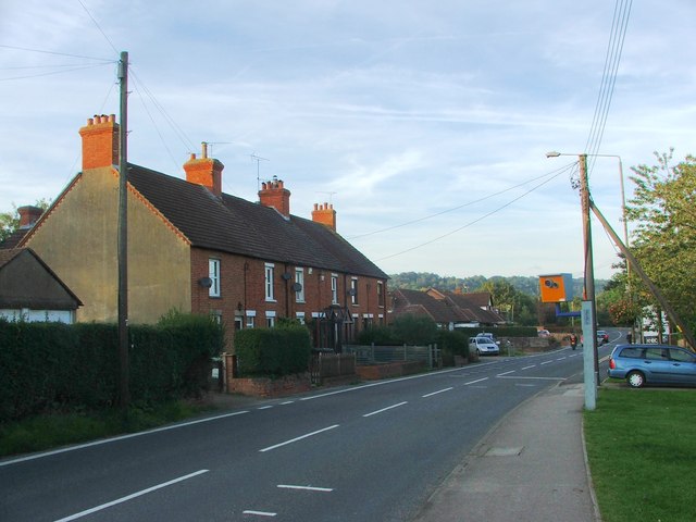
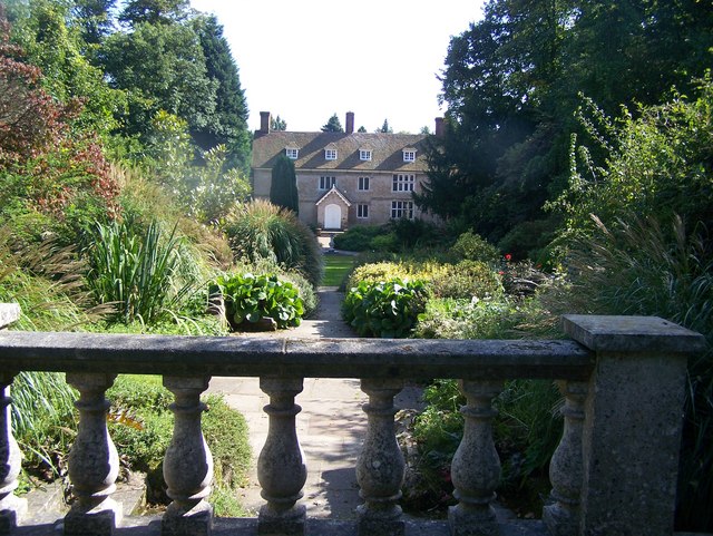
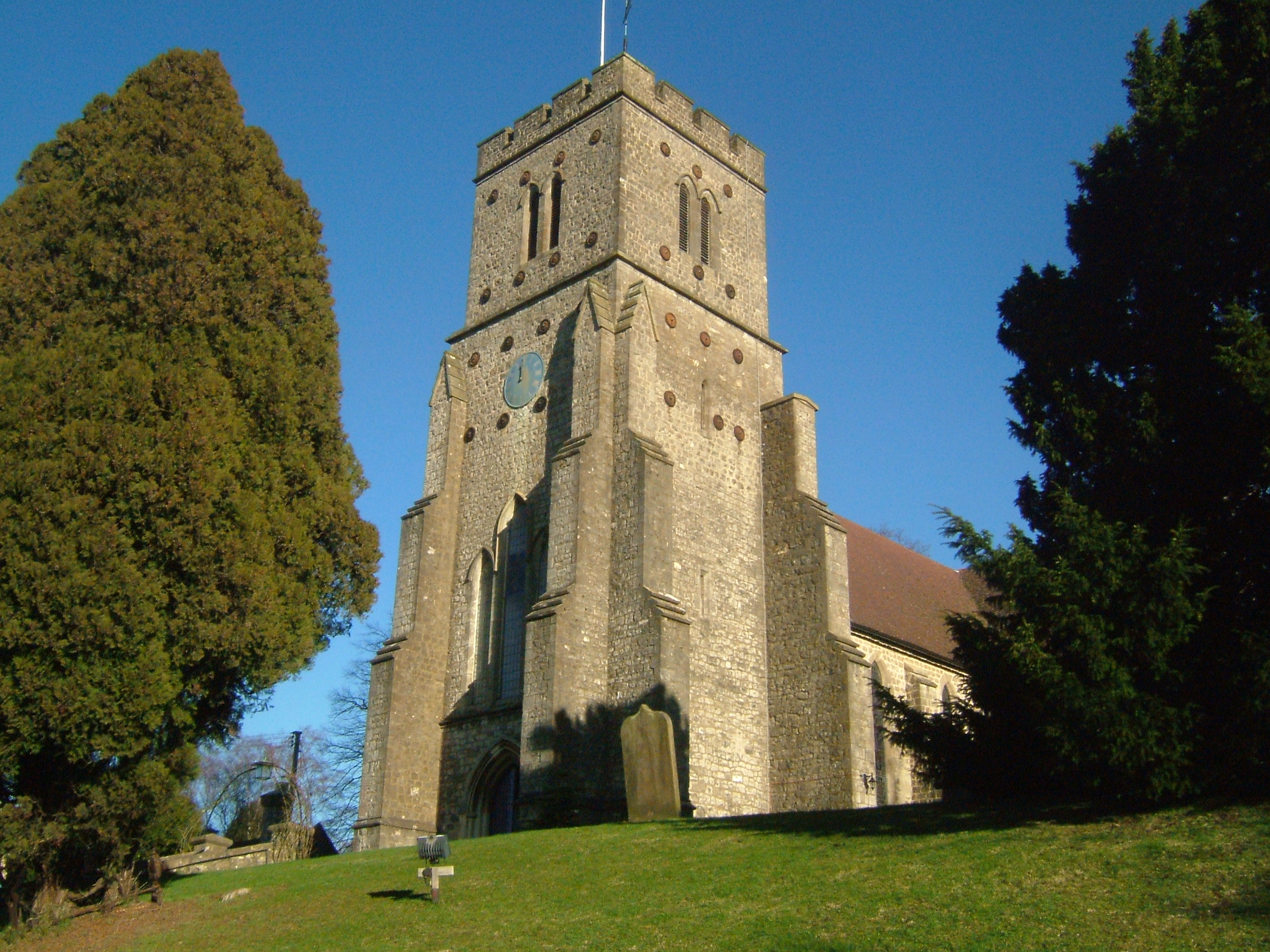
Windmill Hill Images

Images are sourced within 2km of 51.296102/0.33582511 or Grid Reference TQ6257. Thanks to Geograph Open Source API. All images are credited.

Teston Road Offham by the railway line This gate is where there was once a level crossing to the A20. On the A20 side, where there is now a garage, there used to be an all-night transport cafe in a wooden building. They were there in 1956 but had gone by 1979.
Teston Road Offham by the railway line
This gate is where there was once a level crossing to the A20. On the A20 side, where there is now a garage, there used to be an all-night transport cafe in a wooden building. They were there in 1956 but had gone by 1979.
A new roundabout at Wrotham Heath This is where the B2016 - Seven Mile Lane - joins the A26.  It's a busy junction, I had a long wait before there were no cars negotiating it.
A new roundabout at Wrotham Heath
This is where the B2016 - Seven Mile Lane - joins the A26. It's a busy junction, I had a long wait before there were no cars negotiating it.
Long Mill Lane  Crouch
Long Mill Lane Crouch
The Captain's Walk, Platt This is a row of four almshouses, listed Grade II. The listing details state that it was built c. 1850 in Tudor-Revival style. They are managed by the Betenson Trust.
The Captain's Walk, Platt
This is a row of four almshouses, listed Grade II. The listing details state that it was built c. 1850 in Tudor-Revival style. They are managed by the Betenson Trust.
Crow Hill Road, Borough Green
Maidstone Road, St. Mary's Platt
Long Mill Lane, St. Mary's Platt
Blue Anchor, St. Mary's Platt
Long Mill Lane, St. Mary's Platt
The Black Horse, Borough Green
Hill View, Borough Green
Wrotham Road, Borough Green
Wye Road, Borough Green
Wrotham Road, Borough Green This is the A227 Tonbridge to Gravesend road. For a close up of the house opposite see <a title="https://www.geograph.org.uk/photo/4898804" href="https://www.geograph.org.uk/photo/4898804">Link</a>
Wrotham Road, Borough Green
This is the A227 Tonbridge to Gravesend road. For a close up of the house opposite see Link
House on Wrotham Road, Borough Green This looks across the A227 Tonbridge to Gravesend road from The Avenue. The house is far older than its surrounding houses.
House on Wrotham Road, Borough Green
This looks across the A227 Tonbridge to Gravesend road from The Avenue. The house is far older than its surrounding houses.
Nepicar Lane The North Downs are in the distance and the Pilgrim's Way, here followed by the North Downs Way, follows this side of the tree line in the centre and right of the photograph. The path veering off to the right meets the North Downs Way.
Nepicar Lane
The North Downs are in the distance and the Pilgrim's Way, here followed by the North Downs Way, follows this side of the tree line in the centre and right of the photograph. The path veering off to the right meets the North Downs Way.
London Road, Wrotham This is the A20 just north of the roundabout where it meets the M26. The north Downs can be seen in the distance. This is opposite Oakdene Cafe, which is a favourite meeting place for bikers.
London Road, Wrotham
This is the A20 just north of the roundabout where it meets the M26. The north Downs can be seen in the distance. This is opposite Oakdene Cafe, which is a favourite meeting place for bikers.
St Mary's Church, Platt St Mary's Church, Platt only dates from 1842. It is seen here from Long Mill Lane.
St Mary's Church, Platt
St Mary's Church, Platt only dates from 1842. It is seen here from Long Mill Lane.
Show me another place!

Windmill Hill is located at Grid Ref: TQ6257 (Lat: 51.296102, Lng: 0.33582511)

Administrative County: Kent

District: Tonbridge and Malling

Police Authority: Kent

What 3 Words

///hunt.snows.penny. Near Wrotham, Kent

Related Wikis

Wrotham Heath

Wrotham Heath is a settlement in the borough of Tonbridge and Malling in Kent, England. It is part of the civil parish of Wrotham, and is approximately...

Great Comp Garden

Great Comp Garden is a Georgian farmhouse and garden, located on Comp Lane near the hamlet of Comp in Kent, England. It was developed by Roderick and Joyce...

Platt, Kent

Platt, or St. Mary's Platt is a village and civil parish in the local government district of Tonbridge and Malling in Kent, England. The hamlet of Crouch...

Addington, Kent

Addington is a village in the English county of Kent. It is close to the M20 motorway, and between the villages of Wrotham Heath and West Malling. In the...

Comp, Kent

Comp is a hamlet in the Tonbridge and Malling district, in the English county of Kent. == History == In 1240, the town was known as Camp de Wrotha (an...

Tonbridge and Malling

Tonbridge and Malling is a local government district with borough status in Kent, England. The council is based at Kings Hill. The borough also includes...

Wrotham School

Wrotham School is a coeducational secondary school and sixth form with academy status, near Sevenoaks, Kent, England. It has about 760 registered students...

Borough Green & Wrotham railway station

Borough Green & Wrotham railway station is located in Borough Green in Kent, England. It is 29 miles 46 chains (47.6 km) down the line from London Victoria...

Nearby Amenities

Located within 500m of 51.296102,0.33582511
Created By: YahooApplet 1.0
Lat/Long: 51.2966959/0.3337996
Created By: YahooApplet 1.0
Lat/Long: 51.2944685/0.3293579
Bus Stop
Nepicar Farm
Naptan AtcoCode: 2400A005310A
Naptan Bearing: W
Naptan CommonName: Nepicar Farm
Naptan Indicator: opp
Naptan Landmark: Nepicar Farm
Naptan NaptanCode: kntagwdw
Naptan Street: Maidstone Road
Naptan Verified: no
Public Transport: platform
Source: naptan_import
Lat/Long: 51.2964264/0.3330747
Bus Stop
Royal Oak
Bus: yes
Naptan AtcoCode: 2400A073320A
Naptan Bearing: E
Naptan CommonName: Royal Oak
Naptan Indicator: opp
Naptan Landmark: Near Post Office
Naptan NaptanCode: kntgjamt
Naptan Street: London Rd
Naptan Verified: no
Public Transport: platform
Source: naptan_import
Lat/Long: 51.2981343/0.3421275
Bus Stop
Royal Oak
Bus: yes
Flag: no
Naptan AtcoCode: 2400A073330A
Naptan Bearing: W
Naptan BusStopType: CUS
Naptan CommonName: Royal Oak
Naptan Indicator: adj
Naptan Landmark: Royal Oak
Naptan NaptanCode: kntgjamw
Naptan Street: London Road
Naptan Verified: no
Public Transport: platform
Source: naptan_import
Lat/Long: 51.2979867/0.3418617
Traffic Signals
Traffic Signals: signal
Traffic Signals Direction: forward
Lat/Long: 51.2981037/0.3405621
Traffic Signals
Traffic Signals: signal
Traffic Signals Direction: forward
Lat/Long: 51.2980861/0.3406607
Restaurant
The Royal Oak
Addr City: Sevenoaks
Addr Postcode: TN15 7RX
Addr Street: London Road
Brand: Beefeater
Brand Wikidata: Q4879766
Cuisine: steak_house
Fhrs Authority: Tonbridge and Malling
Fhrs Id: 291540
Fhrs Inspectiondate: 2016-07-13
Fhrs Rating: 5
Website: https://www.beefeater.co.uk/en-gb/locations/kent/royal-oak
Lat/Long: 51.2978003/0.3423268
Traffic Signals
Traffic Signals: signal
Traffic Signals Direction: forward
Lat/Long: 51.2981279/0.341011
Traffic Signals
Traffic Signals: signal
Traffic Signals Direction: forward
Lat/Long: 51.2982605/0.3406363
Post Box
Operator: Royal Mail
Post Box Type: lamp
Ref: TN15 245
Lat/Long: 51.2979279/0.3414486
Restaurant
Ming Restaurant
Addr City: Sevenoaks
Addr County: Kent
Addr Place: Wrotham Heath
Addr Postcode: TN15 7RX
Addr Street: London Road
Cuisine: chinese
Fhrs Authority: Tonbridge and Malling
Fhrs Id: 432832
Fhrs Inspectiondate: 2017-02-21
Fhrs Rating: 3
Lat/Long: 51.2979587/0.3416928
Crossing
Lat/Long: 51.2976888/0.3418435
Give Way
Direction: forward
Lat/Long: 51.2979178/0.3407465
The data included in this document is from www.openstreetmap.org. The data is made available under ODbL.

Have you been to Windmill Hill?

Leave your review of Windmill Hill below (or comments, questions and feedback).