Platt Bridge

Settlement in Lancashire

England

Platt Bridge

Roads into Hindley The former Hindley Town Hall stands as if a gateway to the town centre. The building is still owned and occupied by Wigan MBC.
Roads into Hindley Credit: Bill Boaden

Platt Bridge is a small suburban area located in the borough of Wigan, in the county of Lancashire, England. Situated approximately 3.5 miles northeast of Wigan town center, it is nestled between the towns of Hindley and Abram.

Historically, Platt Bridge was a rural area known for its agricultural activities. However, with the Industrial Revolution, the landscape transformed into a thriving industrial hub with coal mining and textile mills becoming the major sources of employment.

Today, Platt Bridge retains elements of its industrial past, with remnants of old mills and factories still visible. However, the area has undergone significant redevelopment, and modern housing estates have replaced many of the old industrial sites.

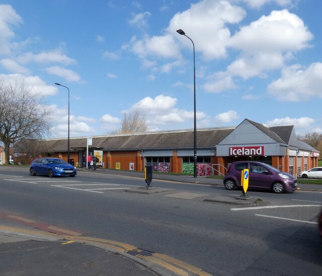
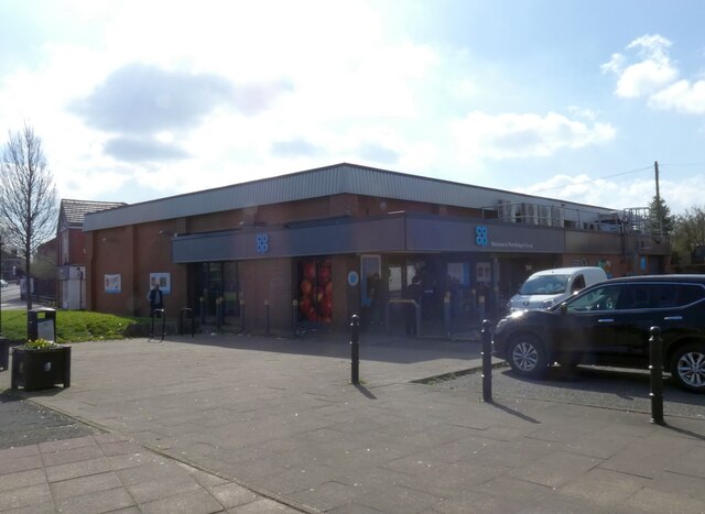
Platt Bridge is primarily a residential area, with a mix of semi-detached houses, terraced housing, and some apartment buildings. It is home to a diverse community, with a range of amenities and services to cater to its residents' needs. The community is served by local shops, supermarkets, pubs, and eateries.

The area benefits from excellent transport links, with good road connections to nearby towns and cities. Platt Bridge is also well-served by public transportation, with regular bus services connecting it to Wigan town center and other neighboring areas.

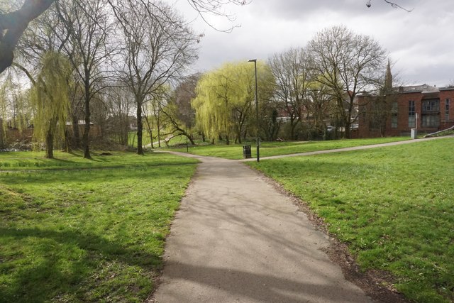
In terms of recreational spaces, Platt Bridge has several parks and green areas, providing opportunities for outdoor activities and leisure. Additionally, the nearby Leeds and Liverpool Canal offers scenic walks and peaceful surroundings.

Overall, Platt Bridge is a well-connected suburban area that combines a mix of industrial heritage with modern residential developments, offering a range of amenities and a sense of community to its residents.

If you have any feedback on the listing, please let us know in the comments section below.
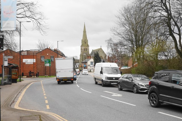
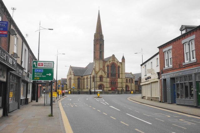
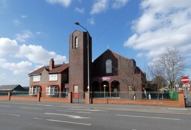
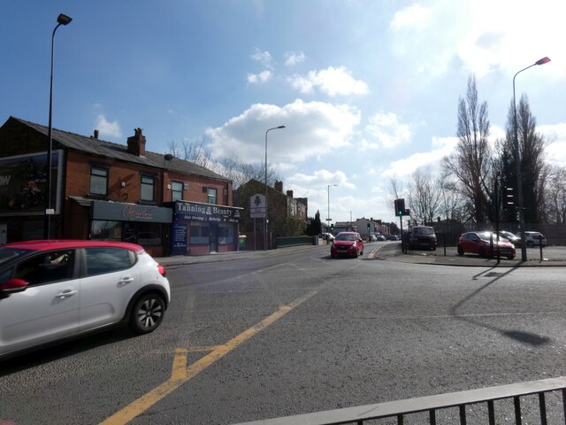
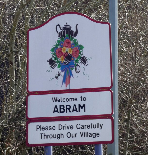
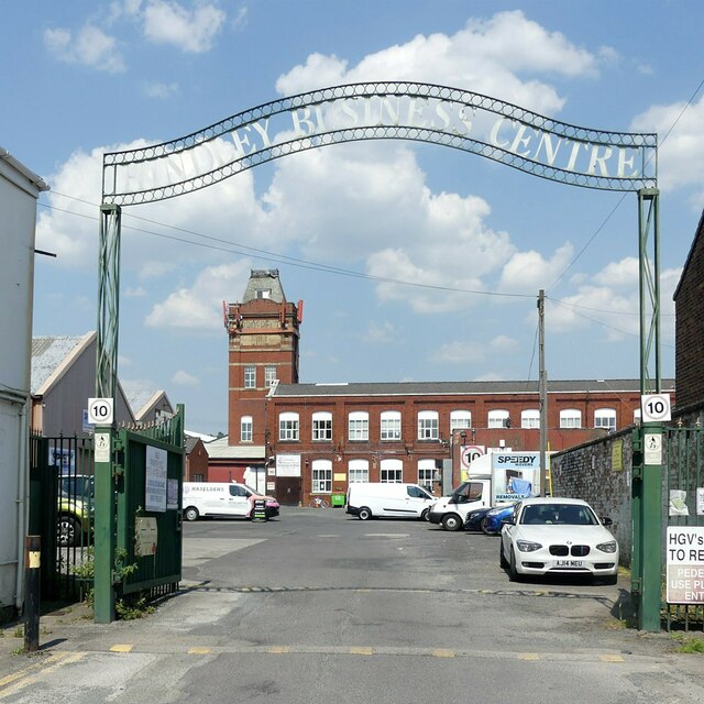
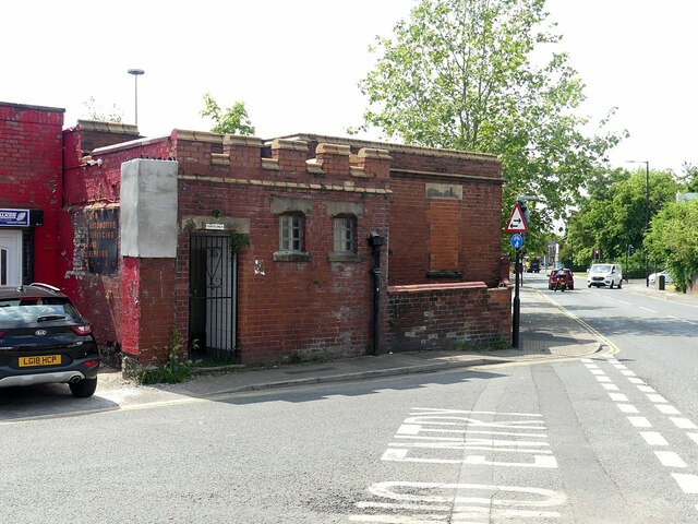
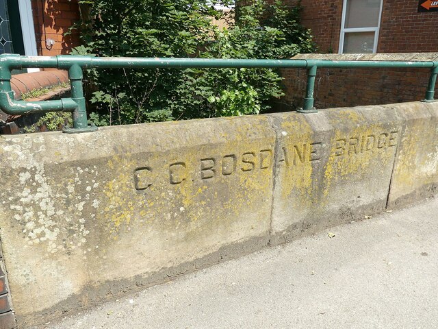
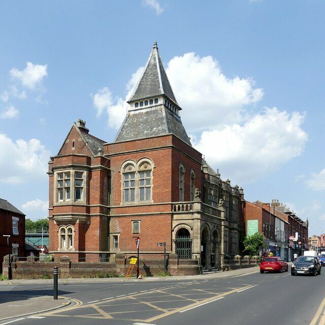
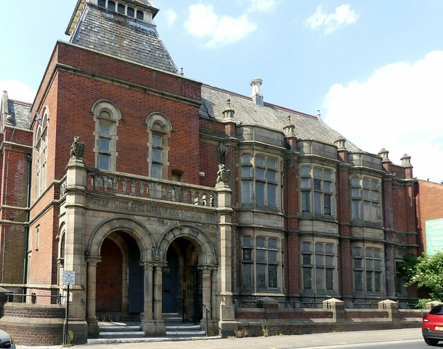
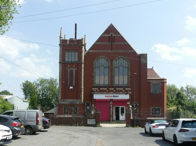
Platt Bridge Images

Images are sourced within 2km of 53.521752/-2.590475 or Grid Reference SD6002. Thanks to Geograph Open Source API. All images are credited.

Roads into Hindley The former Hindley Town Hall stands as if a gateway to the town centre. The building is still owned and occupied by Wigan MBC.
Roads into Hindley
The former Hindley Town Hall stands as if a gateway to the town centre. The building is still owned and occupied by Wigan MBC.
Wigan Road, Hindley A busy road through the town centre, part of the A577. The southern end of the town centre is dominated by St Peter's Church.
Wigan Road, Hindley
A busy road through the town centre, part of the A577. The southern end of the town centre is dominated by St Peter's Church.
The top end of Market Street This end is dominated by St John's Methodist Church, a Grade II listed building dating from 1890.
The top end of Market Street
This end is dominated by St John's Methodist Church, a Grade II listed building dating from 1890.
Green space in Hindley The open land is in the valley of Borsdane Brook.
Green space in Hindley
The open land is in the valley of Borsdane Brook.
Holy Family Roman Catholic Church, Platt Bridge 
 The Parish was founded in 1893, previously having been served as a mission by priests from Saint William's Parish, Ince.  The first  church, erected in 1895 was second hand brought by canal and then carted-up past the site of the school in Wigan Street and on to Lily Lane by the men of the parish. The tin church was closed on 7th May 1959 and the congregation moved to Holy Family Parochial Hall, Toll Street. The foundation stone for the new Church was laid by the Most Reverend John Carmel Heenan Archbishop of Liverpool on 11th October 1959. It opened on 2nd December 1960. In 2016 the Church was refurbished and modernised.
Holy Family Roman Catholic Church, Platt Bridge
The Parish was founded in 1893, previously having been served as a mission by priests from Saint William's Parish, Ince. The first church, erected in 1895 was second hand brought by canal and then carted-up past the site of the school in Wigan Street and on to Lily Lane by the men of the parish. The tin church was closed on 7th May 1959 and the congregation moved to Holy Family Parochial Hall, Toll Street. The foundation stone for the new Church was laid by the Most Reverend John Carmel Heenan Archbishop of Liverpool on 11th October 1959. It opened on 2nd December 1960. In 2016 the Church was refurbished and modernised.
Junction of the A58 and A573 
The A58 bears right at Platt Bridge towards Ashton in Makerfield while the A573 continues through Abram towards Warrington.
Junction of the A58 and A573
The A58 bears right at Platt Bridge towards Ashton in Makerfield while the A573 continues through Abram towards Warrington.
Welcome to Abram 
Village sign on the A573 <a href="https://www.geograph.org.uk/photo/7129819">SD6002 : Junction of the A58 and A573</a>.
Welcome to Abram
Village sign on the A573 SD6002 : Junction of the A58 and A573.
Iceland, Platt Bridge Frozen food store.
Iceland, Platt Bridge
Frozen food store.
Platt Bridge Co-op
Platt Bridge Co-op
Hindley Business Centre Based on the former Prospect Mill which was a large weaving mill. Business occupy both original parts of the mill and various more modern buildings.
Hindley Business Centre
Based on the former Prospect Mill which was a large weaving mill. Business occupy both original parts of the mill and various more modern buildings.
St John's Methodist Church, Hindley An unusually large building for a Methodist congregation. Built 1890-1 by William Waddington & Son, coursed rubble with red sandstone dressings, Listed Grade II.
St John's Methodist Church, Hindley
An unusually large building for a Methodist congregation. Built 1890-1 by William Waddington & Son, coursed rubble with red sandstone dressings, Listed Grade II.
Fortified facility, Hindley 'Gents only' toilet (now closed) with terracotta battlements, attached to an electricity substation. The latter has a fine terracotta date plaque on the end wall.
Fortified facility, Hindley
'Gents only' toilet (now closed) with terracotta battlements, attached to an electricity substation. The latter has a fine terracotta date plaque on the end wall.
Hindley Council Offices Opened in 1903 following the creation of Hindley Urban District in 1894. Designed by Heaton, Ralph and Heaton in the Queen Anne Revival style. Currently used by Wigan Metropolitan Borough Council for the delivery of local health and social care services.
Hindley Council Offices
Opened in 1903 following the creation of Hindley Urban District in 1894. Designed by Heaton, Ralph and Heaton in the Queen Anne Revival style. Currently used by Wigan Metropolitan Borough Council for the delivery of local health and social care services.
The Monaco, Hindley Opened in 1938 as the Rex Cinema. This closed in 1957 following which it was leased to Wigan Borough Council who turned it into The Monaco ballroom. Now operated as the Rose Club, although the Monaco name is retained.
The Monaco, Hindley
Opened in 1938 as the Rex Cinema. This closed in 1957 following which it was leased to Wigan Borough Council who turned it into The Monaco ballroom. Now operated as the Rose Club, although the Monaco name is retained.
C C Bosdane Bridge Lancashire County Council had a tradition of inscribing names on the parapet of even quite minor bridges.
C C Bosdane Bridge
Lancashire County Council had a tradition of inscribing names on the parapet of even quite minor bridges.
Former Hindley Library and Museum building Funded by local industrialist John Leyland and opened in 1886. Listed Grade II. The library facilities were mode elsewhere in the early 21st century and it is now only partly occupied by a nursery school.
Former Hindley Library and Museum building
Funded by local industrialist John Leyland and opened in 1886. Listed Grade II. The library facilities were mode elsewhere in the early 21st century and it is now only partly occupied by a nursery school.
Former St Paul's Chapel, Hindley This was a congregational chapel, built in 1910 in brick and terracotta replacing an early 19th century chapel. Now converted for retail use.
Former St Paul's Chapel, Hindley
This was a congregational chapel, built in 1910 in brick and terracotta replacing an early 19th century chapel. Now converted for retail use.
Show me another place!

Platt Bridge is located at Grid Ref: SD6002 (Lat: 53.521752, Lng: -2.590475)

Unitary Authority: Wigan

Police Authority: Greater Manchester

What 3 Words

///models.ripe.pushes. Near Hindley, Manchester

Nearby Locations

Platt Bridge

Related Wikis

Platt Bridge railway station

Platt Bridge railway station is a closed railway station in the Platt Bridge area of Wigan, England, where the line bridged Liverpool Road (the A58). Platt...

Platt Bridge

Platt Bridge is a settlement in the Metropolitan Borough of Wigan, Greater Manchester, England, 2 miles (3.2 km) south of Wigan town centre along the spine...

Hindley South railway station

Hindley South railway station served the communities of Hindley and Platt Bridge, south-east of Wigan, England. == Location and nearby stations == The...

Newbridge Learning Community

Newbridge Learning Community is a Special Educational Needs School in Wigan for pupils who have emotional, behavioural or social difficulties (EBSD). The...

Nearby Amenities

Located within 500m of 53.521752,-2.590475
Crossing
Button Operated: yes
Crossing: traffic_signals
Crossing Island: no
Crossing Markings: dots
Crossing Ref: pelican
Tactile Paving: yes
Lat/Long: 53.5206345/-2.5977556
Turning Circle
Lat/Long: 53.5223223/-2.5933217
Turning Circle
Lat/Long: 53.5246537/-2.5949836
Bus Stop
Liverpool Road/Neville Street
Bus: yes
Naptan AtcoCode: 1800WK00841
Naptan Bearing: S
Naptan CommonName: Liverpool Road/Neville Street
Naptan Indicator: Os House 621
Naptan Landmark: HOUSE 621
Naptan NaptanCode: manpmgwd
Naptan PlusbusZoneRef: MNCRPIC
Naptan ShortCommonName: Neville Street
Naptan Street: LIVERPOOL ROAD
Naptan Verified: no
Network: TfGM
Public Transport: platform
Source: naptan_import
Lat/Long: 53.5220039/-2.5964594
Bus Stop
Liverpool Road/Neville Street
Bus: yes
Naptan AtcoCode: 1800WK00851
Naptan Bearing: N
Naptan CommonName: Liverpool Road/Neville Street
Naptan Indicator: Doctors Surgery
Naptan Landmark: DOCTORS SURGERY
Naptan NaptanCode: manpmgwg
Naptan PlusbusZoneRef: MNCRPIC
Naptan ShortCommonName: Neville Street
Naptan Street: LIVERPOOL ROAD
Naptan Verified: no
Network: TfGM
Public Transport: platform
Source: naptan_import
Lat/Long: 53.5224335/-2.5968425
Bus Stop
Liverpool Road/Springbank Ind. Estate
Bus: yes
Naptan AtcoCode: 1800WK00881
Naptan Bearing: W
Naptan CommonName: Liverpool Road/Springbank Ind. Estate
Naptan Indicator: Os House 493
Naptan Landmark: HOUSE 493
Naptan NaptanCode: manpmgwp
Naptan PlusbusZoneRef: MNCRPIC
Naptan ShortCommonName: Springbank Ind. E
Naptan Street: LIVERPOOL ROAD
Naptan Verified: no
Network: TfGM
Public Transport: platform
Shelter: no
Source: naptan_import
Lat/Long: 53.5253015/-2.5949067
Bus Stop
Liverpool Road/Springbank Ind. Estate
Bus: yes
Naptan AtcoCode: 1800WK00891
Naptan Bearing: E
Naptan CommonName: Liverpool Road/Springbank Ind. Estate
Naptan Indicator: Opp Old Depot
Naptan Landmark: OPP OLD DEPOT
Naptan NaptanCode: manpmgwt
Naptan PlusbusZoneRef: MNCRPIC
Naptan ShortCommonName: Springbank Ind. E
Naptan Street: LIVERPOOL ROAD
Naptan Verified: no
Network: TfGM
Public Transport: platform
Shelter: no
Source: naptan_import
Lat/Long: 53.5255463/-2.5944878
Bus Stop
Liverpool Road/Crompton Street
Bus: yes
Naptan AtcoCode: 1800WK00901
Naptan Bearing: W
Naptan CommonName: Liverpool Road/Crompton Street
Naptan Indicator: Opp Off Licence
Naptan Landmark: OFF LICENCE
Naptan NaptanCode: manpmjad
Naptan PlusbusZoneRef: MNCRPIC
Naptan ShortCommonName: Crompton Street
Naptan Street: LIVERPOOL ROAD
Naptan Verified: no
Network: TfGM
Public Transport: platform
Source: naptan_import
Lat/Long: 53.5259605/-2.5925476
Bus Stop
Liverpool Road/Crompton Street
Bus: yes
Naptan AtcoCode: 1800WK00911
Naptan Bearing: E
Naptan CommonName: Liverpool Road/Crompton Street
Naptan Indicator: Os House 430
Naptan Landmark: HOUSE 430
Naptan NaptanCode: manpmjag
Naptan PlusbusZoneRef: MNCRPIC
Naptan ShortCommonName: Crompton Street
Naptan Street: LIVERPOOL ROAD
Naptan Verified: no
Network: TfGM
Public Transport: platform
Source: naptan_import
Lat/Long: 53.5261244/-2.5921124
Bus Stop
Liverpool Road/King William (Stop C)
Bus: yes
Departures Board: timetable
Local Ref: C
Naptan AtcoCode: 1800WK04041
Naptan Bearing: NE
Naptan CommonName: Liverpool Road/King William (Stop C)
Naptan Indicator: Stop C
Naptan Landmark: SUPERMKT
Naptan NaptanCode: manptdap
Naptan PlusbusZoneRef: MNCRPIC
Naptan ShortCommonName: King William
Naptan Street: LIVERPOOL ROAD
Naptan Verified: no
Network: TfGM
Public Transport: platform
Shelter: yes
Source: naptan_import
Lat/Long: 53.5207685/-2.5976872
Bus Stop
Liverpool Road/King William (Stop D)
Bus: yes
Departures Board: timetable
Local Ref: D
Naptan AtcoCode: 1800WK04051
Naptan Bearing: SW
Naptan CommonName: Liverpool Road/King William (Stop D)
Naptan Indicator: Stop D
Naptan Landmark: OPP HOUSE 680
Naptan NaptanCode: manptdat
Naptan PlusbusZoneRef: MNCRPIC
Naptan ShortCommonName: King William
Naptan Street: LIVERPOOL ROAD
Naptan Verified: no
Network: TfGM
Public Transport: platform
Shelter: yes
Source: naptan_import
Lat/Long: 53.5211218/-2.5970312
Bus Stop
Woodcock Drive/Liverpool Road
Bus: yes
Naptan AtcoCode: 1800WK10321
Naptan Bearing: NW
Naptan CommonName: Woodcock Drive/Liverpool Road
Naptan Indicator: Medical Centre
Naptan Landmark: MEDICAL CENTRE
Naptan NaptanCode: manpwgta
Naptan PlusbusZoneRef: MNCRPIC
Naptan ShortCommonName: Liverpool Road
Naptan Street: WOODCOCK DRIVE
Naptan Verified: no
Network: TfGM
Public Transport: platform
Source: naptan_import
Lat/Long: 53.5212232/-2.5962071
Bus Stop
Woodcock Drive/Langdale Grove
Bus: yes
Naptan AtcoCode: 1800WK10331
Naptan Bearing: NE
Naptan CommonName: Woodcock Drive/Langdale Grove
Naptan Indicator: Op Newsagents
Naptan Landmark: OP NEWSAGENTS
Naptan NaptanCode: manpwgtd
Naptan Notes: INDICATOR AMENDED
Naptan PlusbusZoneRef: MNCRPIC
Naptan ShortCommonName: Langdale Grove
Naptan Street: WOODCOCK DRIVE
Naptan Verified: no
Network: TfGM
Public Transport: platform
Source: naptan_import
Lat/Long: 53.5215038/-2.5939937
Bus Stop
Woodcock Drive/Fieldway
Bus: yes
Naptan AtcoCode: 1800WK10341
Naptan Bearing: S
Naptan CommonName: Woodcock Drive/Fieldway
Naptan Indicator: Nr House 2
Naptan Landmark: HOUSE 2
Naptan NaptanCode: manpwgtg
Naptan PlusbusZoneRef: MNCRPIC
Naptan ShortCommonName: Fieldway
Naptan Street: WOODCOCK DRIVE
Naptan Verified: no
Network: TfGM
Public Transport: platform
Source: naptan_import
Lat/Long: 53.520422/-2.5928172
Bus Stop
Woodcock Drive/Southfield
Bus: yes
Naptan AtcoCode: 1800WK10351
Naptan Bearing: NE
Naptan CommonName: Woodcock Drive/Southfield
Naptan Indicator: Nr House 2
Naptan Landmark: HOUSE 2
Naptan NaptanCode: manpwgtj
Naptan PlusbusZoneRef: MNCRPIC
Naptan ShortCommonName: Southfield
Naptan Street: WOODCOCK DRIVE
Naptan Verified: no
Network: TfGM
Public Transport: platform
Source: naptan_import
Lat/Long: 53.5194886/-2.5943426
Generator Method: photovoltaic
Generator Output Electricity: yes
Generator Source: solar
Generator Type: solar_photovoltaic_panel
Location: roof
Power: generator
Lat/Long: 53.5200539/-2.5954442
Generator Method: photovoltaic
Generator Output Electricity: yes
Generator Source: solar
Generator Type: solar_photovoltaic_panel
Location: roof
Power: generator
Lat/Long: 53.5196345/-2.5946852
Crossing
Crossing: uncontrolled
Crossing Ref: zebra
Lat/Long: 53.5205061/-2.5970679
Noexit: yes
Lat/Long: 53.5254429/-2.5935411
Crossing
Crossing: uncontrolled
Crossing Ref: zebra
Lat/Long: 53.5208301/-2.5969393
Crossing
Crossing: uncontrolled
Crossing Ref: zebra
Lat/Long: 53.5207312/-2.5970505
Crossing
Crossing: uncontrolled
Crossing Ref: zebra
Lat/Long: 53.5208256/-2.5972842
Crossing
Crossing: uncontrolled
Crossing Ref: zebra
Lat/Long: 53.5204648/-2.5970449
Stone circle
Artwork Type: sculpture
Material: stone
Tourism: artwork
Lat/Long: 53.5255566/-2.5903665
Artwork Type: sculpture
Tourism: artwork
Lat/Long: 53.5253119/-2.5897857
Traffic Signals
Traffic Signals: crossing
Traffic Signals Direction: forward
Lat/Long: 53.5206622/-2.5977197
Crossing
Crossing: unmarked
Crossing Island: no
Tactile Paving: yes
Lat/Long: 53.5203998/-2.5976926
Addr City: Platt Bridge
Addr Housenumber: 429
Addr Street: Liverpool Road
Lat/Long: 53.5259682/-2.5918074
Addr City: Platt Bridge
Addr Housenumber: 406
Addr Street: Liverpool Road
Lat/Long: 53.5262187/-2.5909753
Barrier: stile
Foot: yes
Material: wood
Motor Vehicle: no
Stile: stepover
Lat/Long: 53.5239008/-2.5933765
Noexit: yes
Lat/Long: 53.525951/-2.5908097
Shop: chemist
Source: survey
Lat/Long: 53.5224968/-2.594506
Post Box
Operator: Royal Mail
Operator Wikidata: Q638098
Post Box Type: wall
Ref: WN2 40
Royal Cypher: GVIR
Lat/Long: 53.5259702/-2.5923341
Man Made: mast
Lat/Long: 53.5177979/-2.592299
Man Made: mast
Source: survey
Lat/Long: 53.5179847/-2.592257
The data included in this document is from www.openstreetmap.org. The data is made available under ODbL.

Have you been to Platt Bridge?

Leave your review of Platt Bridge below (or comments, questions and feedback).