Plastow Green

Settlement in Hampshire Basingstoke and Deane

England

Plastow Green

Farm near Ashford Hill At this point, the footpath splits and goes of at right angles to each other. This is the view at the split (Harriden's Farm).
Farm near Ashford Hill Credit: Pam Brophy

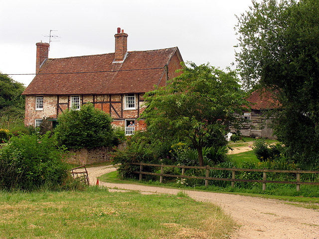
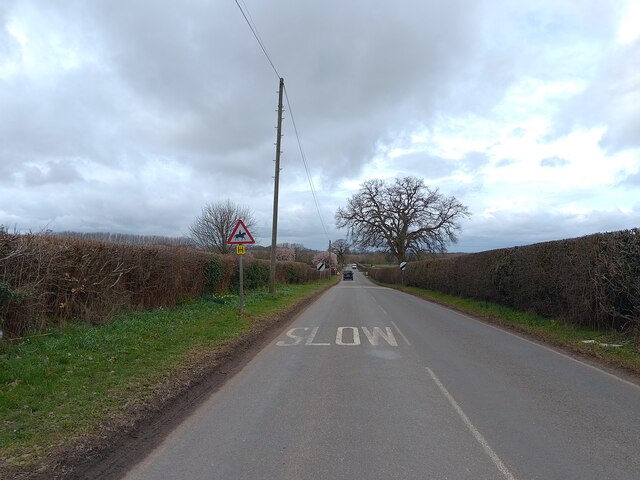
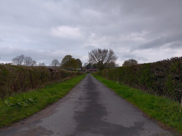
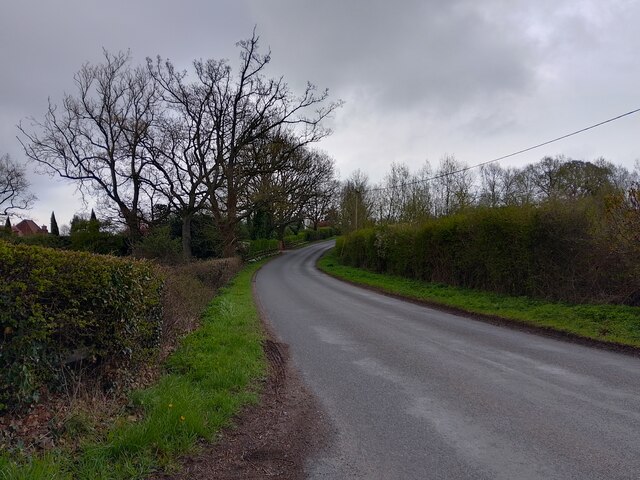
Plastow Green is a small village located in the county of Hampshire, England. Situated in the beautiful Test Valley, it is surrounded by picturesque countryside and rolling hills, offering residents and visitors a tranquil and idyllic setting.

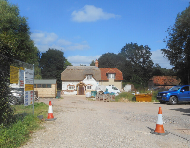
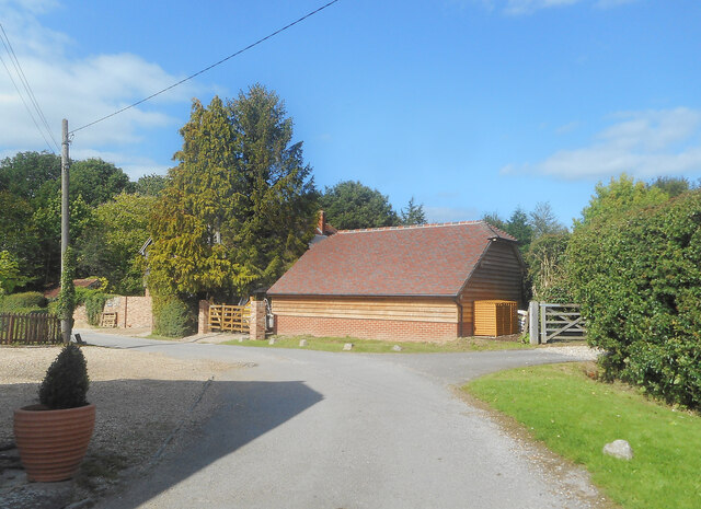
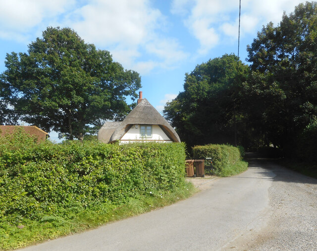
The village itself is characterized by its charming mix of traditional and modern architecture. The houses are predominantly made of red brick, giving the village a quaint and timeless feel. Plastow Green features a few local amenities, including a village hall and a small convenience store, which caters to the daily needs of its residents.

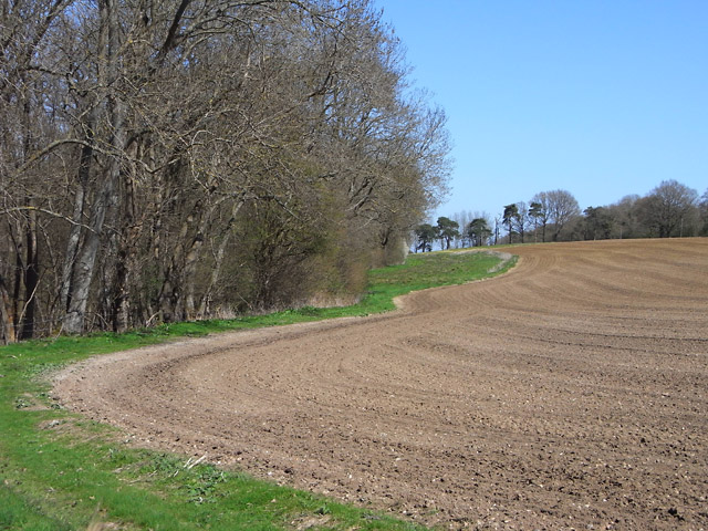
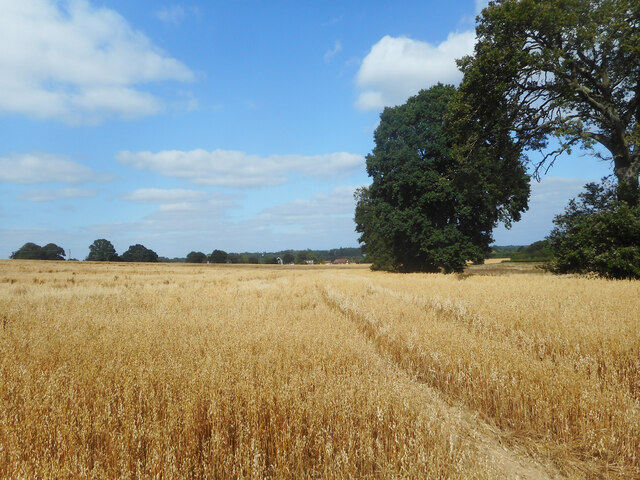
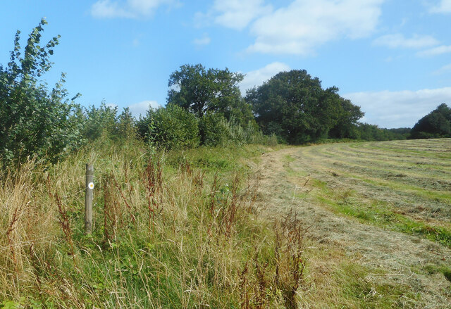
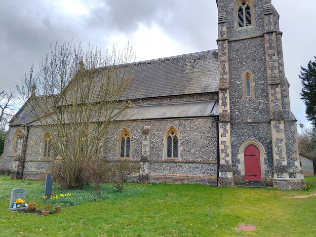
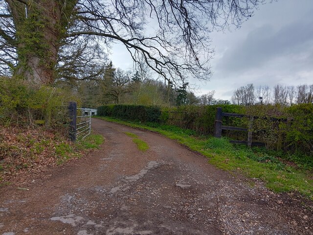
Nature enthusiasts will find plenty to explore in and around Plastow Green. The village is surrounded by lush green fields and woodland areas, providing ample opportunities for outdoor activities such as hiking, cycling, and birdwatching. The nearby Test River is renowned for its excellent fishing spots, attracting anglers from far and wide.

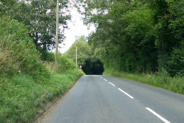
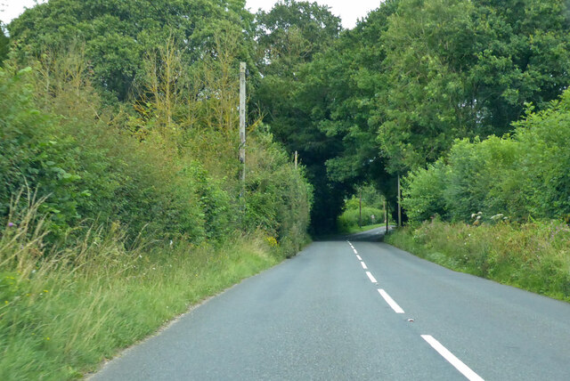
Despite its peaceful and rural atmosphere, Plastow Green benefits from its proximity to larger towns and cities. The city of Winchester is just a short drive away, offering a wide range of amenities, shopping centers, and cultural attractions. Additionally, the village benefits from good transport links, with regular bus services connecting it to nearby towns.

Plastow Green is a close-knit community, with a strong sense of community spirit. The village hosts various events and activities throughout the year, including a summer fair and a Christmas market, bringing residents together and fostering a sense of belonging.

Overall, Plastow Green is a charming and picturesque village, offering residents a high quality of life in a beautiful rural setting.

If you have any feedback on the listing, please let us know in the comments section below.

Plastow Green Images

Images are sourced within 2km of 51.350479/-1.235607 or Grid Reference SU5361. Thanks to Geograph Open Source API. All images are credited.

Farm near Ashford Hill At this point, the footpath splits and goes of at right angles to each other. This is the view at the split (Harriden's Farm).
Farm near Ashford Hill
At this point, the footpath splits and goes of at right angles to each other. This is the view at the split (Harriden's Farm).
Farmland, Kingsclere The edge of an arable field seen from the footpath between Knowl Hill and Harridens Farms.
Farmland, Kingsclere
The edge of an arable field seen from the footpath between Knowl Hill and Harridens Farms.
B3051 Little Knowl Hill From Kingsclere towards Aldermaston.
B3051 Little Knowl Hill
From Kingsclere towards Aldermaston.
B3051 Little Knowl Hill From Kingsclere towards Aldermaston.
B3051 Little Knowl Hill
From Kingsclere towards Aldermaston.
A Field of Oats, Kingsclere Woodlands
Renovations at Plastow Green One of the old houses is being done up.
Renovations at Plastow Green
One of the old houses is being done up.
Barn on the Corner One of the handful of places in the hamlet of Plastow Green
Barn on the Corner
One of the handful of places in the hamlet of Plastow Green
Thatch behind the Hedge An old house at the end of the road at Plastow Green.
Thatch behind the Hedge
An old house at the end of the road at Plastow Green.
Footpath through a hay field One of half a dozen footpaths which converge at a small wood called Watchbury Copse a short way along from here.
Footpath through a hay field
One of half a dozen footpaths which converge at a small wood called Watchbury Copse a short way along from here.
St Paul's Church A church in Ashford Hill, off Ashford Hill Road. The path across the grass here is not very often used, with a car park and the main entrance round the rear of the church.

The church is Victorian Gothic, built in 1845. It is a grade II listed building, list entry number 1166766 <span class="nowrap"><a title="https://historicengland.org.uk/listing/the-list/list-entry/1166766?section=official-list-entry" rel="nofollow ugc noopener" href="https://historicengland.org.uk/listing/the-list/list-entry/1166766?section=official-list-entry">Link</a><img style="margin-left:2px;" alt="External link" title="External link - shift click to open in new window" src="https://s1.geograph.org.uk/img/external.png" width="10" height="10"/></span>
St Paul's Church
A church in Ashford Hill, off Ashford Hill Road. The path across the grass here is not very often used, with a car park and the main entrance round the rear of the church. The church is Victorian Gothic, built in 1845. It is a grade II listed building, list entry number 1166766 LinkExternal link
St Paul's Church graveyard The graveyard is covered in daffodils at this time of year. A path runs through the grass.
St Paul's Church graveyard
The graveyard is covered in daffodils at this time of year. A path runs through the grass.
St Paul's Church graveyard An area of the graveyard near to the church.
St Paul's Church graveyard
An area of the graveyard near to the church.
St Paul's Church Looking at the main tower on the east face of the church from the path through the graveyard. The church is rather hidden by a large tree from this angle.

The church is Victorian Gothic, built in 1845. It is a grade II listed building, list entry number 1166766 <span class="nowrap"><a title="https://historicengland.org.uk/listing/the-list/list-entry/1166766?section=official-list-entry" rel="nofollow ugc noopener" href="https://historicengland.org.uk/listing/the-list/list-entry/1166766?section=official-list-entry">Link</a><img style="margin-left:2px;" alt="External link" title="External link - shift click to open in new window" src="https://s1.geograph.org.uk/img/external.png" width="10" height="10"/></span>
St Paul's Church
Looking at the main tower on the east face of the church from the path through the graveyard. The church is rather hidden by a large tree from this angle. The church is Victorian Gothic, built in 1845. It is a grade II listed building, list entry number 1166766 LinkExternal link
St Paul's Church and war memorial Looking at St Paul's Church past the war memorial commemorating those lost in WWI and WWII. The graveyard can be seen behind the memorial.

The church is Victorian Gothic, built in 1845. It is a grade II listed building, list entry number 1166766 <span class="nowrap"><a title="https://historicengland.org.uk/listing/the-list/list-entry/1166766?section=official-list-entry" rel="nofollow ugc noopener" href="https://historicengland.org.uk/listing/the-list/list-entry/1166766?section=official-list-entry">Link</a><img style="margin-left:2px;" alt="External link" title="External link - shift click to open in new window" src="https://s1.geograph.org.uk/img/external.png" width="10" height="10"/></span>
St Paul's Church and war memorial
Looking at St Paul's Church past the war memorial commemorating those lost in WWI and WWII. The graveyard can be seen behind the memorial. The church is Victorian Gothic, built in 1845. It is a grade II listed building, list entry number 1166766 LinkExternal link
Ashford Hill Road Looking towards Goose Hill on Ashford Hill Road, from near to St Paul's Church.
Ashford Hill Road
Looking towards Goose Hill on Ashford Hill Road, from near to St Paul's Church.
Footpath off Ashford Hill Road A driveway to a few houses on the outskirts of Headley is the route of a public footpath off Ashford Hill Road.
Footpath off Ashford Hill Road
A driveway to a few houses on the outskirts of Headley is the route of a public footpath off Ashford Hill Road.
Driveway off Ashford Hill Road A driveway off Ashford Hill Road, near Goose Hill.
Driveway off Ashford Hill Road
A driveway off Ashford Hill Road, near Goose Hill.
Ashford Hill Road Ashford Hill Road is the main road between Headley at the A339 and Ashford Hill at the B3051 (Little Knowl Hill).
Ashford Hill Road
Ashford Hill Road is the main road between Headley at the A339 and Ashford Hill at the B3051 (Little Knowl Hill).
Show me another place!

Plastow Green is located at Grid Ref: SU5361 (Lat: 51.350479, Lng: -1.235607)

Administrative County: Hampshire

District: Basingstoke and Deane

Police Authority: Hampshire

What 3 Words

///stirs.approvals.scorched. Near Kingsclere, Hampshire

Related Wikis

Plastow Green

Plastow Green is a hamlet in north Hampshire, England. == Governance == The hamlet is part of the civil parish of Ashford Hill with Headley, and is part...

Ashford Hill with Headley

Ashford Hill with Headley is a civil parish in the Basingstoke and Deane district of Hampshire, England. The parish includes Ashford Hill, Plastow Green...

Headley, Basingstoke and Deane

Headley is a village in Hampshire, England. It is close to the county boundary with Berkshire and about 4 miles (6.4 km) south-east of Newbury. == Governance... ==

Ashford Hill

Ashford Hill is a village in Basingstoke and Deane, Hampshire, England. == Governance == The village of Ashford Hill is part of the civil parish of Ashford...

Ecchinswell, Sydmonton and Bishops Green

Ecchinswell, Sydmonton and Bishops Green (occasionally referred to as just Ecchinswell and Sydmonton) is a civil parish within the district of Basingstoke...

Kingsclere

Kingsclere is a large village and civil parish in Hampshire, England. == Geography == Kingsclere is approximately equidistant 13 kilometres (8.1 mi) from...

Crookham, Berkshire

Crookham is a dispersed hamlet in the English county of Berkshire, and part of the civil parish of Thatcham. == Geography == The settlement lies near...

Ashford Hill Woods and Meadows

Ashford Hill Woods and Meadows is a 141.5-hectare (350-acre) biological Site of Special Scientific Interest near Ashford Hill in Hampshire. An area of...

Nearby Amenities

Located within 500m of 51.350479,-1.235607
Post Box
Postal Code: RG19
Ref: RG19 310
Lat/Long: 51.3541826/-1.2351986
Summerhurst Farm
Landuse: farm
Note Retag: CS #48756035
Lat/Long: 51.3462252/-1.2336905
Barrier: kissing_gate
Lat/Long: 51.3519517/-1.2398489
Power: pole
Lat/Long: 51.3471566/-1.2309328
Power: pole
Lat/Long: 51.3485371/-1.2300155
Power: pole
Lat/Long: 51.3495757/-1.229015
Power: pole
Lat/Long: 51.3532828/-1.2361121
Power: pole
Lat/Long: 51.353725/-1.2368417
Power: pole
Lat/Long: 51.3545592/-1.2370643
The data included in this document is from www.openstreetmap.org. The data is made available under ODbL.

Have you been to Plastow Green?

Leave your review of Plastow Green below (or comments, questions and feedback).