Kingsclere Woodlands

Downs, Moorland in Hampshire Basingstoke and Deane

England

Kingsclere Woodlands

Farm near Ashford Hill At this point, the footpath splits and goes of at right angles to each other. This is the view at the split (Harriden's Farm).
Farm near Ashford Hill Credit: Pam Brophy

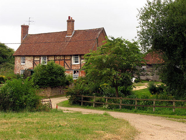
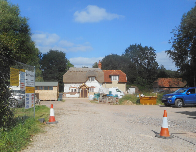
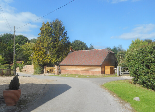
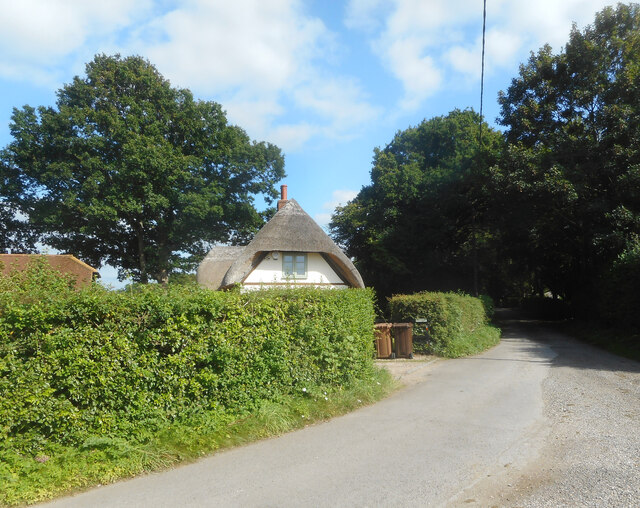
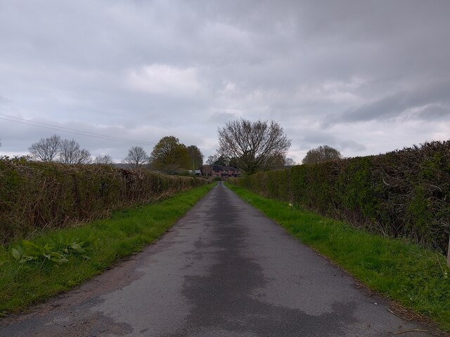
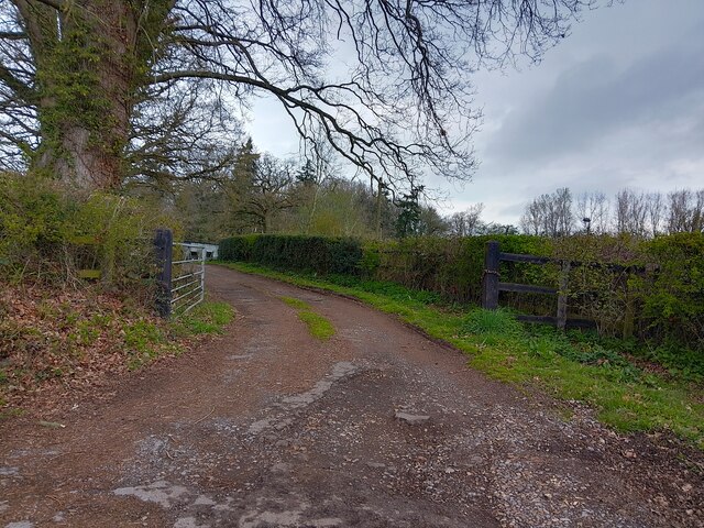
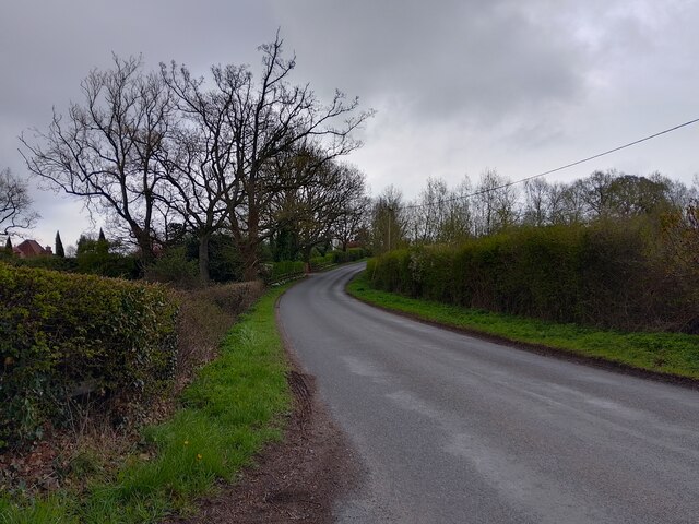
Kingsclere Woodlands is a picturesque area located in Hampshire, England. Covering a vast expanse of land, it encompasses diverse landscapes including downs and moorland. This stunning natural reserve is a haven for wildlife and offers visitors a unique opportunity to immerse themselves in the beauty of the countryside.

The woodlands are known for their rich biodiversity, boasting a wide range of plant and animal species. Ancient trees, such as oak and beech, dominate the landscape, providing a dense canopy that harbors a variety of bird species. Visitors may catch a glimpse of buzzards, kestrels, and even the elusive red kite soaring above the treetops.

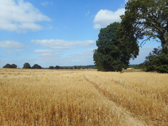
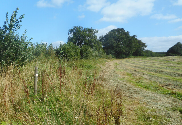
The downs of Kingsclere Woodlands provide breathtaking views of the surrounding countryside. Rolling hills covered in vibrant green grass stretch as far as the eye can see, creating a serene and tranquil atmosphere. The downs are home to an array of wildflowers, which paint the landscape with splashes of color during the spring and summer months.

Moorland, with its unique ecosystem, also graces Kingsclere Woodlands. This open landscape is characterized by heather, gorse, and bracken, providing a habitat for rare bird species like the stonechat and the curlew. Moorland is a place of great natural beauty, with its wide-open spaces and wild, windswept scenery.

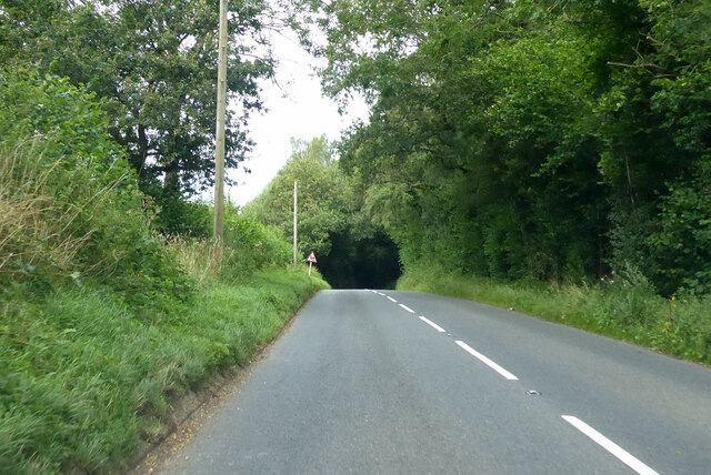
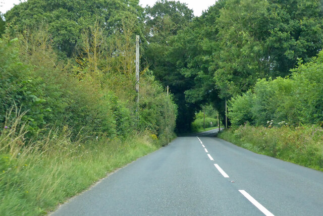
Kingsclere Woodlands offers a range of walking trails, allowing visitors to explore the diverse habitats and experience the wonders of nature. Whether it's a leisurely stroll through the woodlands or a hike along the downs, this area promises a memorable and enriching outdoor experience.

If you have any feedback on the listing, please let us know in the comments section below.

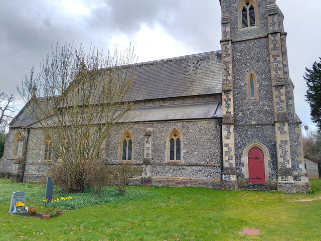
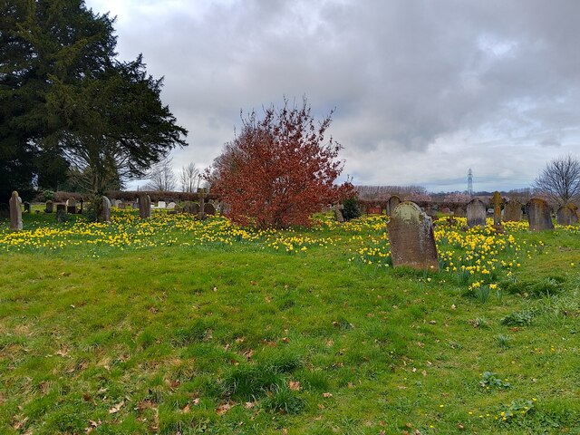
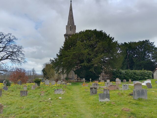
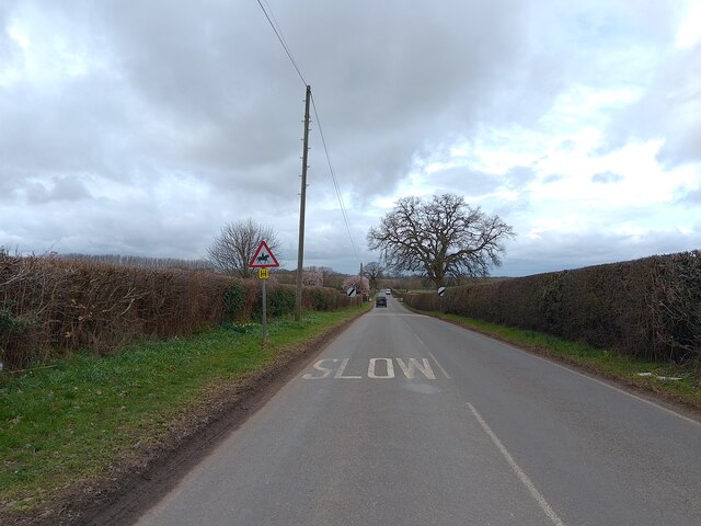
Kingsclere Woodlands Images

Images are sourced within 2km of 51.353557/-1.2332127 or Grid Reference SU5361. Thanks to Geograph Open Source API. All images are credited.

Farm near Ashford Hill At this point, the footpath splits and goes of at right angles to each other. This is the view at the split (Harriden's Farm).
Farm near Ashford Hill
At this point, the footpath splits and goes of at right angles to each other. This is the view at the split (Harriden's Farm).
B3051 Little Knowl Hill From Kingsclere towards Aldermaston.
B3051 Little Knowl Hill
From Kingsclere towards Aldermaston.
B3051 Little Knowl Hill From Kingsclere towards Aldermaston.
B3051 Little Knowl Hill
From Kingsclere towards Aldermaston.
A Field of Oats, Kingsclere Woodlands
Renovations at Plastow Green One of the old houses is being done up.
Renovations at Plastow Green
One of the old houses is being done up.
Barn on the Corner One of the handful of places in the hamlet of Plastow Green
Barn on the Corner
One of the handful of places in the hamlet of Plastow Green
Thatch behind the Hedge An old house at the end of the road at Plastow Green.
Thatch behind the Hedge
An old house at the end of the road at Plastow Green.
Footpath through a hay field One of half a dozen footpaths which converge at a small wood called Watchbury Copse a short way along from here.
Footpath through a hay field
One of half a dozen footpaths which converge at a small wood called Watchbury Copse a short way along from here.
St Paul's Church A church in Ashford Hill, off Ashford Hill Road. The path across the grass here is not very often used, with a car park and the main entrance round the rear of the church.

The church is Victorian Gothic, built in 1845. It is a grade II listed building, list entry number 1166766 <span class="nowrap"><a title="https://historicengland.org.uk/listing/the-list/list-entry/1166766?section=official-list-entry" rel="nofollow ugc noopener" href="https://historicengland.org.uk/listing/the-list/list-entry/1166766?section=official-list-entry">Link</a><img style="margin-left:2px;" alt="External link" title="External link - shift click to open in new window" src="https://s1.geograph.org.uk/img/external.png" width="10" height="10"/></span>
St Paul's Church
A church in Ashford Hill, off Ashford Hill Road. The path across the grass here is not very often used, with a car park and the main entrance round the rear of the church. The church is Victorian Gothic, built in 1845. It is a grade II listed building, list entry number 1166766 LinkExternal link
St Paul's Church graveyard The graveyard is covered in daffodils at this time of year. A path runs through the grass.
St Paul's Church graveyard
The graveyard is covered in daffodils at this time of year. A path runs through the grass.
St Paul's Church graveyard An area of the graveyard near to the church.
St Paul's Church graveyard
An area of the graveyard near to the church.
St Paul's Church Looking at the main tower on the east face of the church from the path through the graveyard. The church is rather hidden by a large tree from this angle.

The church is Victorian Gothic, built in 1845. It is a grade II listed building, list entry number 1166766 <span class="nowrap"><a title="https://historicengland.org.uk/listing/the-list/list-entry/1166766?section=official-list-entry" rel="nofollow ugc noopener" href="https://historicengland.org.uk/listing/the-list/list-entry/1166766?section=official-list-entry">Link</a><img style="margin-left:2px;" alt="External link" title="External link - shift click to open in new window" src="https://s1.geograph.org.uk/img/external.png" width="10" height="10"/></span>
St Paul's Church
Looking at the main tower on the east face of the church from the path through the graveyard. The church is rather hidden by a large tree from this angle. The church is Victorian Gothic, built in 1845. It is a grade II listed building, list entry number 1166766 LinkExternal link
St Paul's Church and war memorial Looking at St Paul's Church past the war memorial commemorating those lost in WWI and WWII. The graveyard can be seen behind the memorial.

The church is Victorian Gothic, built in 1845. It is a grade II listed building, list entry number 1166766 <span class="nowrap"><a title="https://historicengland.org.uk/listing/the-list/list-entry/1166766?section=official-list-entry" rel="nofollow ugc noopener" href="https://historicengland.org.uk/listing/the-list/list-entry/1166766?section=official-list-entry">Link</a><img style="margin-left:2px;" alt="External link" title="External link - shift click to open in new window" src="https://s1.geograph.org.uk/img/external.png" width="10" height="10"/></span>
St Paul's Church and war memorial
Looking at St Paul's Church past the war memorial commemorating those lost in WWI and WWII. The graveyard can be seen behind the memorial. The church is Victorian Gothic, built in 1845. It is a grade II listed building, list entry number 1166766 LinkExternal link
Ashford Hill Road Looking towards Goose Hill on Ashford Hill Road, from near to St Paul's Church.
Ashford Hill Road
Looking towards Goose Hill on Ashford Hill Road, from near to St Paul's Church.
Footpath off Ashford Hill Road A driveway to a few houses on the outskirts of Headley is the route of a public footpath off Ashford Hill Road.
Footpath off Ashford Hill Road
A driveway to a few houses on the outskirts of Headley is the route of a public footpath off Ashford Hill Road.
Driveway off Ashford Hill Road A driveway off Ashford Hill Road, near Goose Hill.
Driveway off Ashford Hill Road
A driveway off Ashford Hill Road, near Goose Hill.
Ashford Hill Road Ashford Hill Road is the main road between Headley at the A339 and Ashford Hill at the B3051 (Little Knowl Hill).
Ashford Hill Road
Ashford Hill Road is the main road between Headley at the A339 and Ashford Hill at the B3051 (Little Knowl Hill).
Oakfield Lane, Ashford Hill Oakfield Lane is a private road in Ashford Hill, with relatively new build houses.
Oakfield Lane, Ashford Hill
Oakfield Lane is a private road in Ashford Hill, with relatively new build houses.
Show me another place!

Kingsclere Woodlands is located at Grid Ref: SU5361 (Lat: 51.353557, Lng: -1.2332127)

Administrative County: Hampshire

District: Basingstoke and Deane

Police Authority: Hampshire

What 3 Words

///clinic.lies.valuables. Near Kingsclere, Hampshire

Related Wikis

Plastow Green

Plastow Green is a hamlet in north Hampshire, England. == Governance == The hamlet is part of the civil parish of Ashford Hill with Headley, and is part...

Ashford Hill with Headley

Ashford Hill with Headley is a civil parish in the Basingstoke and Deane district of Hampshire, England. The parish includes Ashford Hill, Plastow Green...

Headley, Basingstoke and Deane

Headley is a village in Hampshire, England. It is close to the county boundary with Berkshire and about 4 miles (6.4 km) south-east of Newbury. == Governance... ==

Ashford Hill

Ashford Hill is a village in Basingstoke and Deane, Hampshire, England. == Governance == The village of Ashford Hill is part of the civil parish of Ashford...

Crookham, Berkshire

Crookham is a dispersed hamlet in the English county of Berkshire, and part of the civil parish of Thatcham. == Geography == The settlement lies near...

Hyde End, Berkshire

Hyde End is a small hamlet in Berkshire, England, and part of the civil parish of Brimpton. The settlement lies south of the A4 road and approximately...

Ashford Hill NNR

Ashford Hill is a British national nature reserve next to the village of Ashford Hill in Hampshire. Part of the reserve is a designated a Site of Special...

Ashford Hill Woods and Meadows

Ashford Hill Woods and Meadows is a 141.5-hectare (350-acre) biological Site of Special Scientific Interest near Ashford Hill in Hampshire. An area of...

Nearby Amenities

Located within 500m of 51.353557,-1.2332127
Post Box
Postal Code: RG19
Ref: RG19 310
Lat/Long: 51.3541826/-1.2351986
Barrier: stile
Lat/Long: 51.3574082/-1.2321946
Barrier: kissing_gate
Lat/Long: 51.3519517/-1.2398489
Power: pole
Lat/Long: 51.3505674/-1.2281245
Power: pole
Lat/Long: 51.3516613/-1.2271321
Power: pole
Lat/Long: 51.3532828/-1.2361121
Power: pole
Lat/Long: 51.353725/-1.2368417
Power: pole
Lat/Long: 51.3545592/-1.2370643
Power: pole
Lat/Long: 51.3559042/-1.2359834
Power: pole
Lat/Long: 51.3567401/-1.2357339
Power: pole
Lat/Long: 51.357549/-1.2354362
The data included in this document is from www.openstreetmap.org. The data is made available under ODbL.

Have you been to Kingsclere Woodlands?

Leave your review of Kingsclere Woodlands below (or comments, questions and feedback).