Pattiesmuir

Settlement in Fife

Scotland

Pattiesmuir

A985 eastbound
A985 eastbound Credit: Alpin Stewart

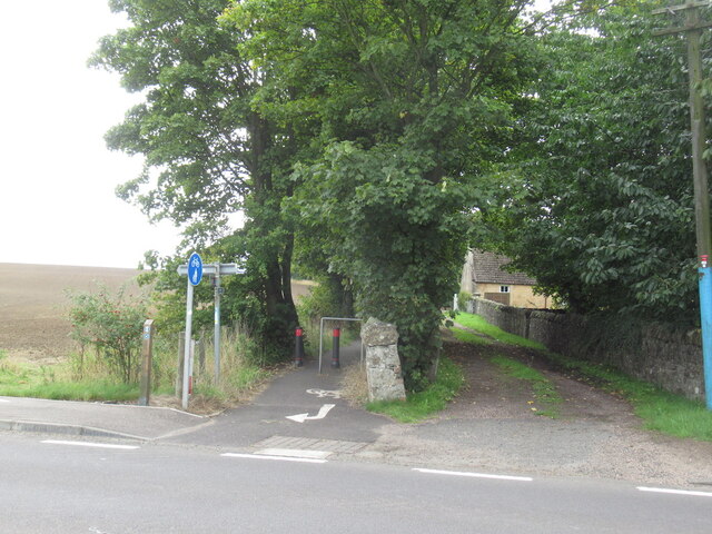
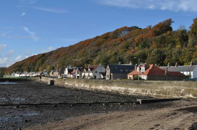
Pattiesmuir is a small, picturesque village located in the region of Fife, Scotland. Situated approximately 6 miles northeast of the town of Dunfermline, it is nestled amidst rolling hills and lush green landscapes. The village is home to a close-knit community and is renowned for its tranquility and natural beauty.

The origins of Pattiesmuir can be traced back to the 18th century when it primarily served as an agricultural settlement. Today, it retains much of its traditional charm, with quaint stone cottages and well-preserved historic buildings dotting the narrow streets. The village's architecture reflects its rich heritage and offers a glimpse into its past.

Despite its small size, Pattiesmuir boasts a range of amenities for residents and visitors alike. The village is home to a local pub, providing a cozy spot to enjoy a drink or sample traditional Scottish cuisine. Additionally, there are a few local shops and a post office, ensuring that basic necessities are easily accessible.

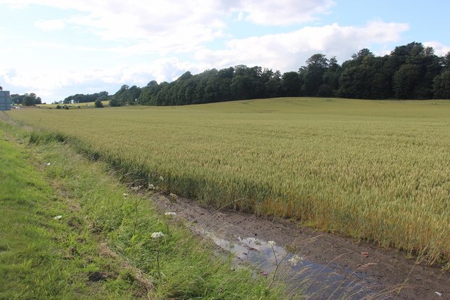
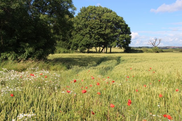
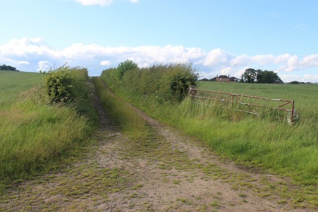
The surrounding countryside offers numerous opportunities for outdoor activities, making Pattiesmuir an ideal destination for nature enthusiasts. The village is surrounded by scenic walking trails, where visitors can explore the idyllic countryside and take in breathtaking views. The nearby Lomond Hills Regional Park provides further opportunities for hiking, cycling, and wildlife spotting.

Pattiesmuir's central location within Fife allows for convenient access to nearby towns and cities. Dunfermline, with its historic abbey and bustling town center, is a short drive away. The vibrant city of Edinburgh is also within easy reach, offering a wide range of cultural attractions, shopping destinations, and entertainment options.

Overall, Pattiesmuir is a charming and peaceful village that offers a true taste of rural Scotland. Its beautiful surroundings, welcoming community, and convenient location make it a desirable destination for both residents and visitors seeking a tranquil escape.

If you have any feedback on the listing, please let us know in the comments section below.
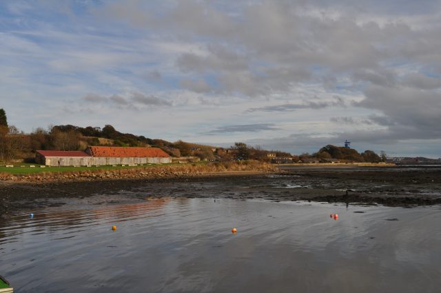
Pattiesmuir Images

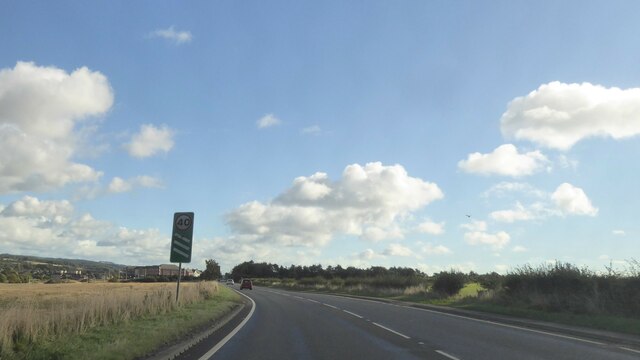
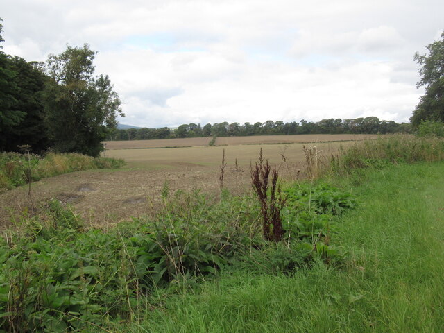
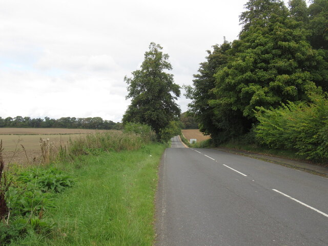
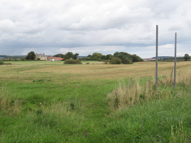
Images are sourced within 2km of 56.037086/-3.4543452 or Grid Reference NT0983. Thanks to Geograph Open Source API. All images are credited.

A985 eastbound
A985 eastbound
A985 eastbound
A985 eastbound
Stubble near Gellet
Stubble near Gellet
B9165, south of Dunfermline
Stubble, Brucehaven
Stubble, Brucehaven
Brucehaven The Fife Coastal path emerges here as part of the awkward bypassing of Rosyth Dockyard.
Brucehaven
The Fife Coastal path emerges here as part of the awkward bypassing of Rosyth Dockyard.
Rosyth Dockyard The Goliath crane, capable of lifting 1000 tonnes, is clearly visible from the grounds of Hopetoun House on the far side of the Firth of Forth.
Rosyth Dockyard
The Goliath crane, capable of lifting 1000 tonnes, is clearly visible from the grounds of Hopetoun House on the far side of the Firth of Forth.
Leaving Rosyth Dockyard
Rosyth barracks, HMS Caledonia
A field of Grain at Brucehaven Bounded by Fossackiehill Plantation.
A field of Grain at Brucehaven
Bounded by Fossackiehill Plantation.
A field of Grain at Brucehaven Beside Douglasbank Cemetery.
A field of Grain at Brucehaven
Beside Douglasbank Cemetery.
Farm track leading to Blackhall
Aircraft Carrier Queen Elizabeth (under construction) Not yet an HMS. That happens when she is commissioned as a 'Ship of the Line'. The white stuff along the deck is protective sheeting erected by scaffolders to provide a safe and weather proof habitat for various trades to conduct their duties.
Aircraft Carrier Queen Elizabeth (under construction)
Not yet an HMS. That happens when she is commissioned as a 'Ship of the Line'. The white stuff along the deck is protective sheeting erected by scaffolders to provide a safe and weather proof habitat for various trades to conduct their duties.
HMS Queen Elizabeth under construction at Rosyth Dockyard Photographed from across the Forth from near Abercorn.
HMS Queen Elizabeth under construction at Rosyth Dockyard
Photographed from across the Forth from near Abercorn.
Limekilns Much of Limekilns is squeezed between the north bank of the Forth and the wooded escarpment behind it.
Limekilns
Much of Limekilns is squeezed between the north bank of the Forth and the wooded escarpment behind it.
Limekilns, looking towards Brucehaven
Boats at Brucehaven Yachts high and dry on Caprenaum pier at Brucehaven.
Boats at Brucehaven
Yachts high and dry on Caprenaum pier at Brucehaven.
Brucehaven Have to resist calling it Brucehaven *harbour*, which is surely a tautology.
Brucehaven
Have to resist calling it Brucehaven *harbour*, which is surely a tautology.
Show me another place!

Pattiesmuir is located at Grid Ref: NT0983 (Lat: 56.037086, Lng: -3.4543452)

Unitary Authority: Fife

Police Authority: Fife

What 3 Words

///hits.nicely.contents. Near Rosyth, Fife

Related Wikis

Pattiesmuir

Pattiesmuir (formerly Pettimuir, Pettymuir and also known as Patiemuir, Patiesmuir and Peattie Muir) is a small, dormitory hamlet located in the west of...

HMS Scotia (shore establishment)

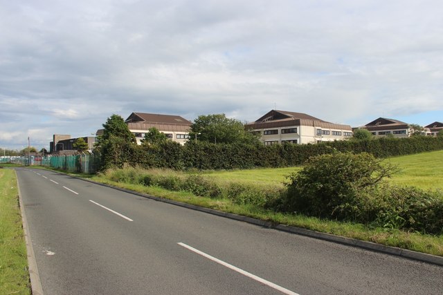
HMS Scotia is one of the newest Royal Naval Reserve units, formed in 1958, and currently recruiting from the east of Scotland. The unit inhabits spacious...

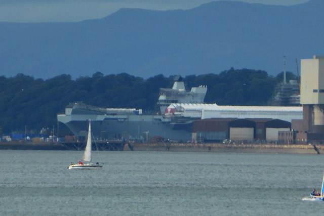
HMS Caledonia (base)

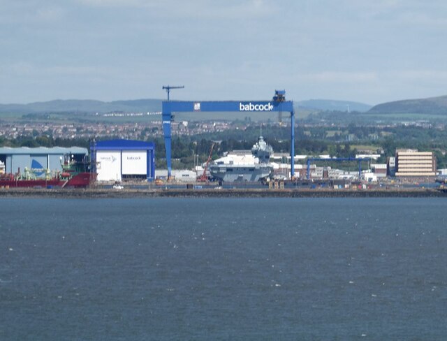
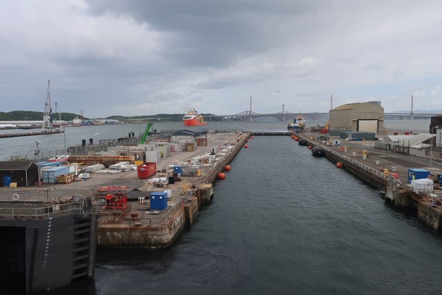
His Majesty’s Ship Caledonia (HMS Caledonia) is a military establishment of the Royal Navy based next to the former Royal Naval Dockyard, Rosyth in Scotland...
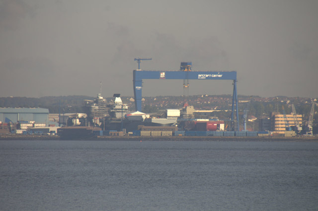
Goliath (Rosyth)

Goliath is a crane in Rosyth Dockyard, Scotland, with a lift capacity of 1,000 tonnes (980 long tons; 1,100 short tons), the largest in Britain. ��2�...

Nearby Amenities

Located within 500m of 56.037086,-3.4543452
Pattiesmuir
Place: hamlet
Lat/Long: 56.0368555/-3.4550138
Post Box
Ref: KY11 170
Source: survey
Lat/Long: 56.0372261/-3.4550686
Addr City: Pattiesmuir
Addr Housenumber: 1
Addr Postcode: KY11 3ES
Addr Street: Hilton View
Lat/Long: 56.0374903/-3.4563155
Addr City: Pattiesmuir
Addr Housenumber: 2
Addr Postcode: KY11 3ES
Addr Street: Hilton View
Lat/Long: 56.0374455/-3.4563315
Addr City: Pattiesmuir
Addr Housenumber: 3
Addr Postcode: KY11 3ES
Addr Street: Hilton View
Lat/Long: 56.03748/-3.4561928
Addr City: Pattiesmuir
Addr Housenumber: 4
Addr Postcode: KY11 3ES
Addr Street: Hilton View
Lat/Long: 56.037432/-3.4562066
Barrier: cycle_barrier
Bicycle: yes
Cycle Barrier: single
Foot: yes
Lat/Long: 56.0357593/-3.4608182
Material: wood
Power: pole
Lat/Long: 56.0357991/-3.45329
Material: wood
Power: pole
Lat/Long: 56.0352118/-3.4529396
Crossing
Crossing: unmarked
Crossing Island: yes
Tactile Paving: yes
Lat/Long: 56.0352148/-3.4579099
Power: pole
Lat/Long: 56.0344183/-3.4509095
Power: pole
Lat/Long: 56.0350488/-3.4503569
Material: wood
Power: pole
Lat/Long: 56.0356572/-3.4498237
Material: wood
Power: pole
Lat/Long: 56.0363804/-3.4491899
Power: pole
Lat/Long: 56.0338977/-3.4513658
Material: wood
Power: pole
Lat/Long: 56.0378508/-3.4478863
Material: wood
Power: pole
Lat/Long: 56.0385841/-3.447227
Power: pole
Lat/Long: 56.0364045/-3.4536874
Power: pole
Lat/Long: 56.0370139/-3.4533688
Power: pole
Lat/Long: 56.0372217/-3.454248
Power: pole
Lat/Long: 56.0376204/-3.4541252
Power: pole
Lat/Long: 56.0380529/-3.4541109
Power: pole
Lat/Long: 56.0384625/-3.4542426
The data included in this document is from www.openstreetmap.org. The data is made available under ODbL.

Have you been to Pattiesmuir?

Leave your review of Pattiesmuir below (or comments, questions and feedback).