Patterton
Settlement in Renfrewshire
Scotland
Patterton
Patterton is a small village located in the county of Renfrewshire, Scotland. Situated just 10 miles southwest of Glasgow city center, it falls within the East Renfrewshire council area. With a population of around 1,500 residents, Patterton is known for its tranquil and picturesque surroundings.
The village is well-connected to neighboring areas by excellent transport links, including regular bus services and Patterton railway station, which provides easy access to Glasgow and other nearby towns. Patterton is also conveniently located close to major road networks, making it an ideal location for commuters.
Despite its small size, Patterton offers a range of amenities for its residents. The village has a primary school, Patterton Primary, which provides education for local children. There are also several local shops, including a convenience store and a post office, catering to the daily needs of the community.
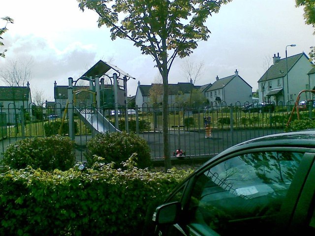
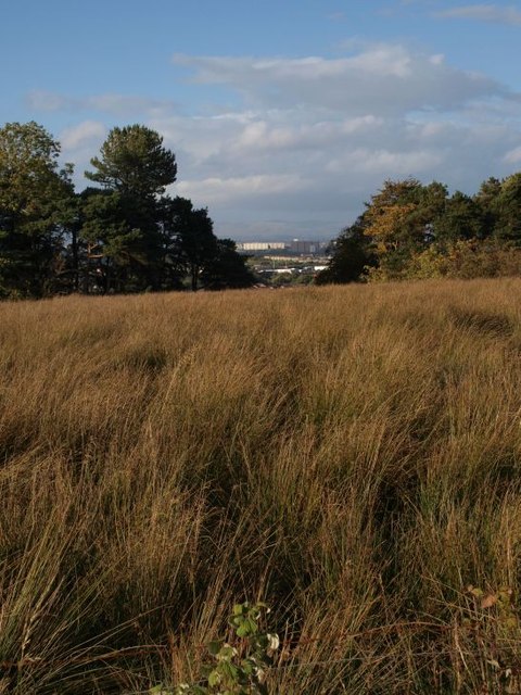
Patterton is surrounded by beautiful green spaces, making it an attractive place for nature enthusiasts. The nearby Rouken Glen Park offers extensive parkland, woodlands, and a picturesque pond, providing ample opportunities for outdoor activities such as walking, cycling, and picnicking.
Overall, Patterton offers a peaceful and scenic environment, while still being within easy reach of the bustling city of Glasgow and its amenities. Its close-knit community and proximity to nature make it an appealing place to live for those seeking a balance between urban convenience and rural tranquility.
If you have any feedback on the listing, please let us know in the comments section below.
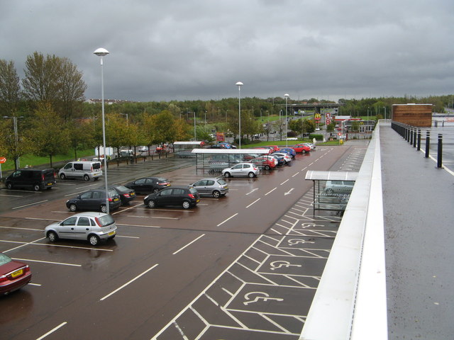
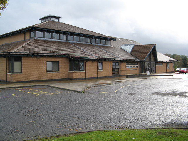
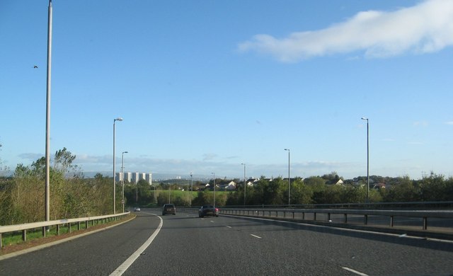
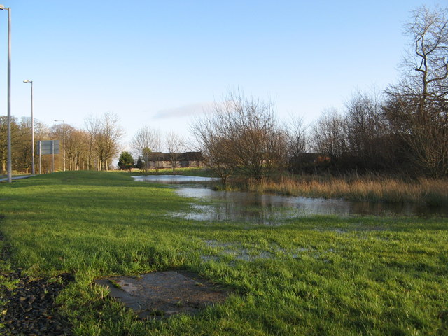
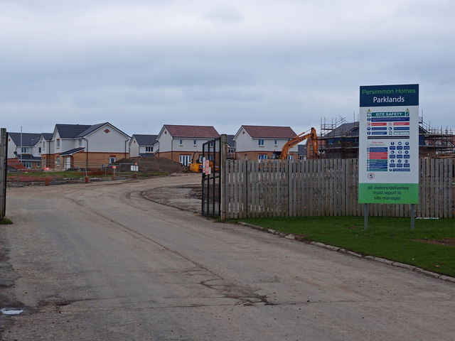
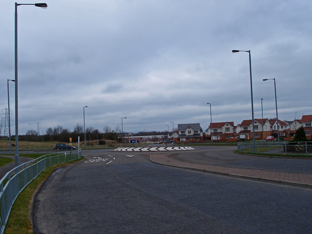
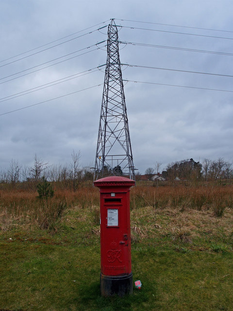
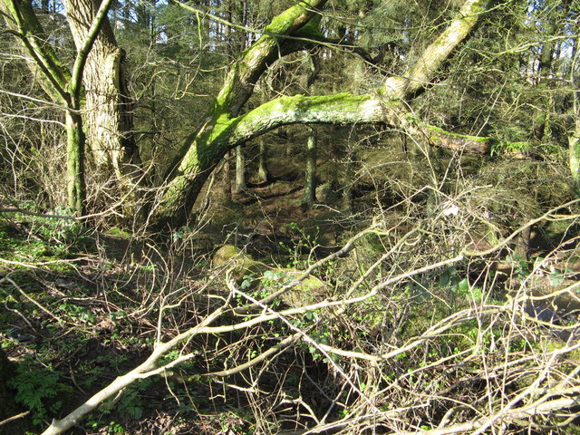
Patterton Images
Images are sourced within 2km of 55.792873/-4.3462022 or Grid Reference NS5358. Thanks to Geograph Open Source API. All images are credited.


Patterton is located at Grid Ref: NS5358 (Lat: 55.792873, Lng: -4.3462022)
Unitary Authority: East Renfrewshire
Police Authority: Greater Glasgow
What 3 Words
///sound.ruled.never. Near Thornliebank, East Renfrewshire
Nearby Locations
Related Wikis
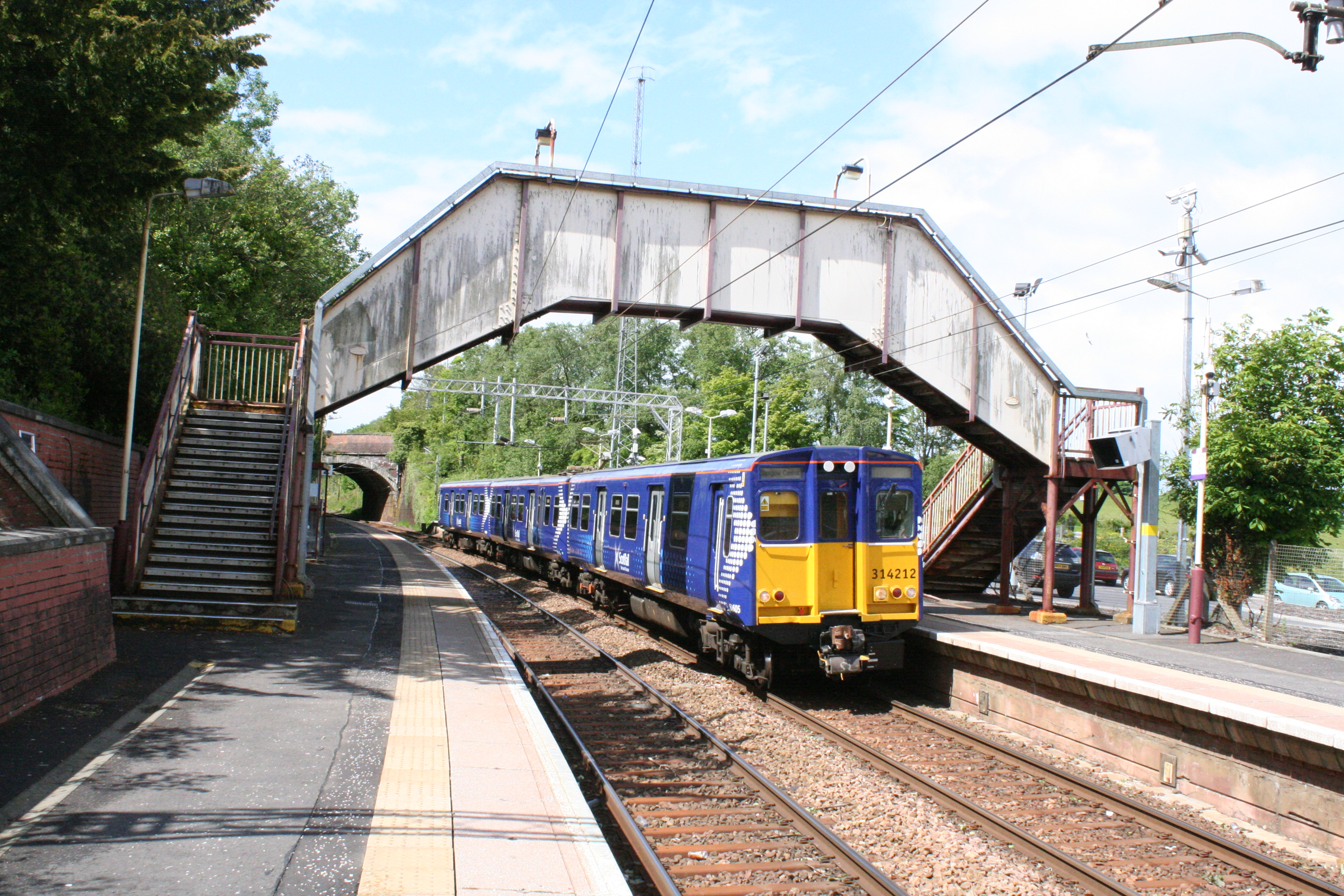
Patterton railway station
Patterton railway station is a railway station serving the Patterton, Crookfur and Greenlaw areas of the town of Newton Mearns, East Renfrewshire and the...
Patterton
Patterton is an area of the town of Newton Mearns, East Renfrewshire and the Deaconsbank and Jennylind areas of Glasgow, Scotland. It is served by Patterton...

Southpark Village
Southpark Village is a housing estate in the Darnley area of the Scottish city of Glasgow. The northwestern area was built during the mid to late 1980s...

Deaconsbank
Deaconsbank is a neighbourhood in the Scottish city of Glasgow. It is situated south of the River Clyde. The main feature of the area, which falls into...
Nearby Amenities
Located within 500m of 55.792873,-4.3462022Have you been to Patterton?
Leave your review of Patterton below (or comments, questions and feedback).