Windylaw Strip
Wood, Forest in Fife
Scotland
Windylaw Strip
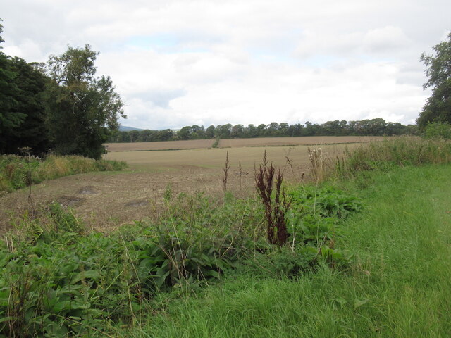
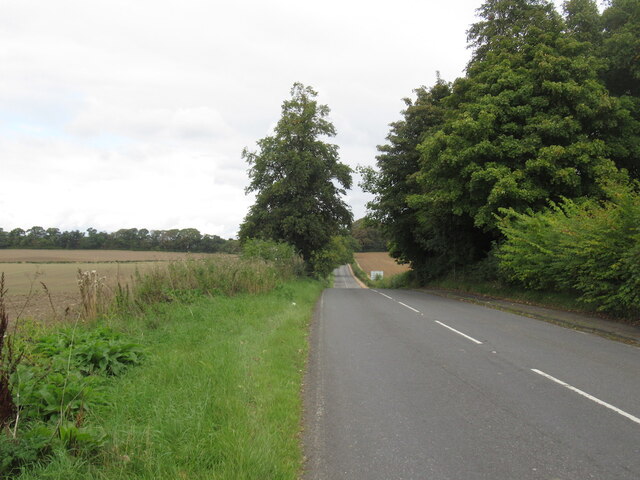
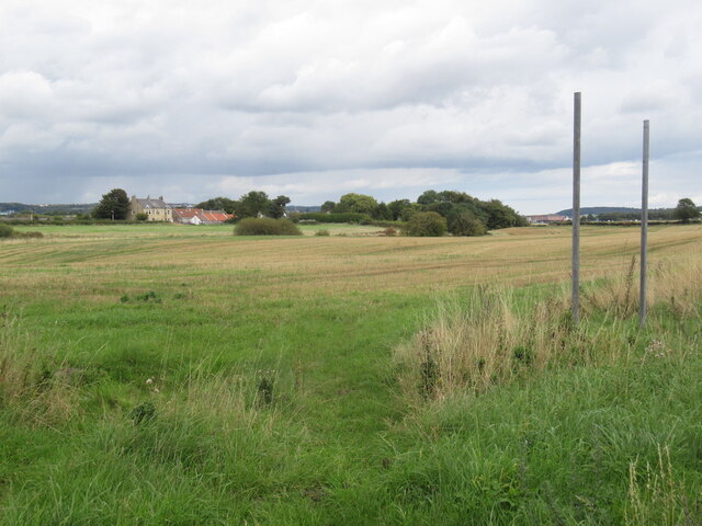
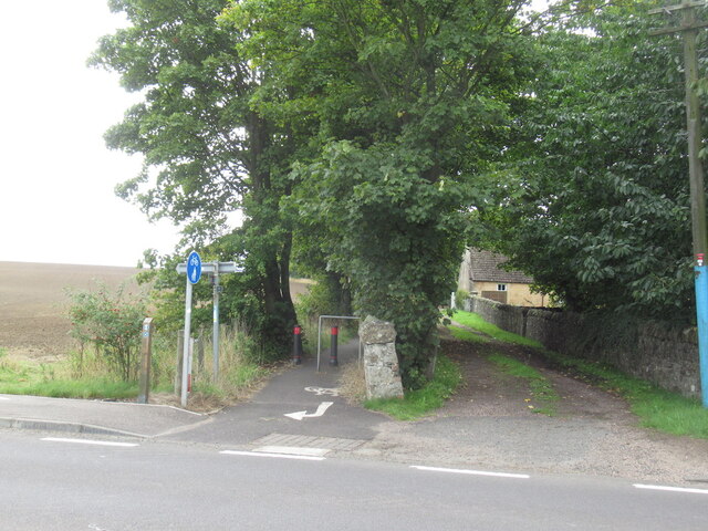
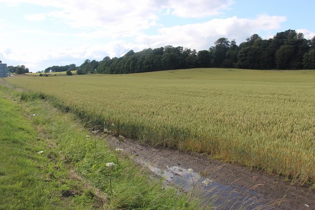
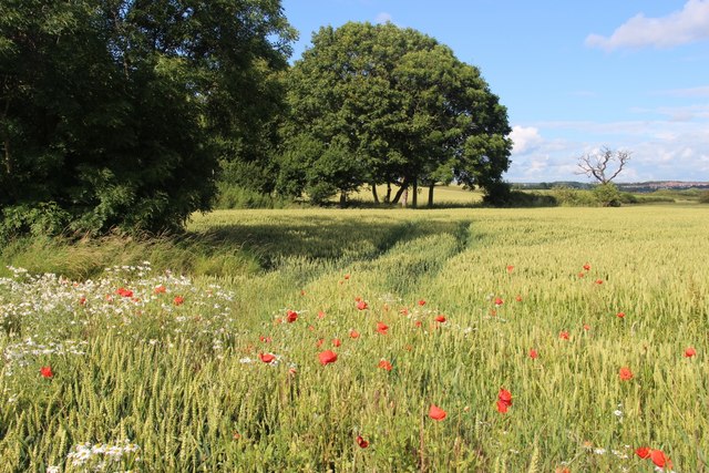
Windylaw Strip is a picturesque woodland located in Fife, Scotland. Spanning approximately 20 acres, this enchanting forest is nestled within the gently rolling landscape of the region. The strip offers a serene and tranquil environment, attracting visitors seeking a peaceful retreat amidst nature's beauty.
The woodland is predominantly composed of native Scottish trees, including oak, birch, and pine, which create a dense canopy overhead. This dense foliage provides shelter and habitat for a variety of wildlife species, making Windylaw Strip a haven for nature enthusiasts and birdwatchers alike. Visitors may catch glimpses of red squirrels, roe deer, and a wide array of bird species, including woodpeckers and song thrushes.
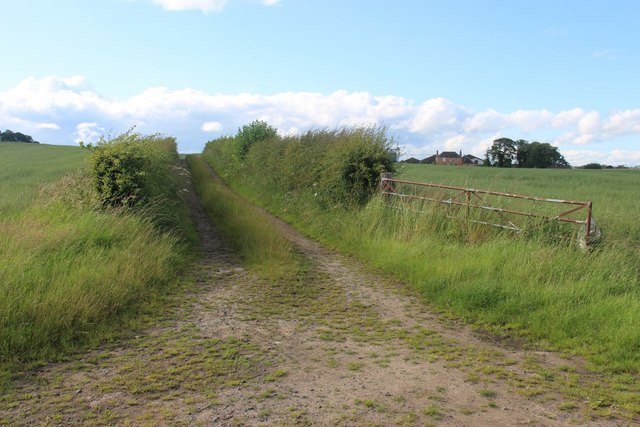
A network of well-maintained footpaths weaves through the forest, allowing visitors to explore the enchanting surroundings at their own pace. These trails lead to hidden clearings and secluded spots, perfect for picnicking or simply immersing oneself in the tranquility of the woodland. The forest also boasts a small stream that meanders through its heart, adding to the idyllic atmosphere.
Windylaw Strip is easily accessible, with ample parking available nearby. It offers a range of amenities, including picnic areas, benches, and information boards providing insights into the local flora and fauna. The woodland is open to the public year-round, with the changing seasons offering a different experience with each visit. In the spring and summer, the forest comes alive with vibrant wildflowers and the sweet melodies of birdsong, while autumn paints the landscape in a tapestry of golden hues.
Overall, Windylaw Strip is a hidden gem in Fife, offering a serene escape from the hustle and bustle of everyday life, and showcasing the natural beauty of the Scottish countryside.
If you have any feedback on the listing, please let us know in the comments section below.
Windylaw Strip Images
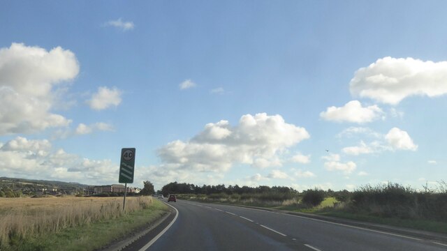
Images are sourced within 2km of 56.032732/-3.4615319 or Grid Reference NT0983. Thanks to Geograph Open Source API. All images are credited.

Windylaw Strip is located at Grid Ref: NT0983 (Lat: 56.032732, Lng: -3.4615319)
Unitary Authority: Fife
Police Authority: Fife
What 3 Words
///stables.exulted.seducing. Near Limekilns, Fife
Nearby Locations
Related Wikis

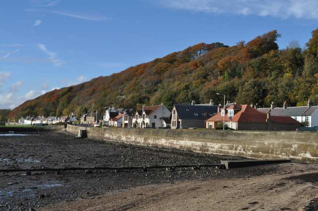
Pattiesmuir
Pattiesmuir (formerly Pettimuir, Pettymuir and also known as Patiemuir, Patiesmuir and Peattie Muir) is a small, dormitory hamlet located in the west of...

HMS Scotia (shore establishment)
HMS Scotia is one of the newest Royal Naval Reserve units, formed in 1958, and currently recruiting from the east of Scotland. The unit inhabits spacious...
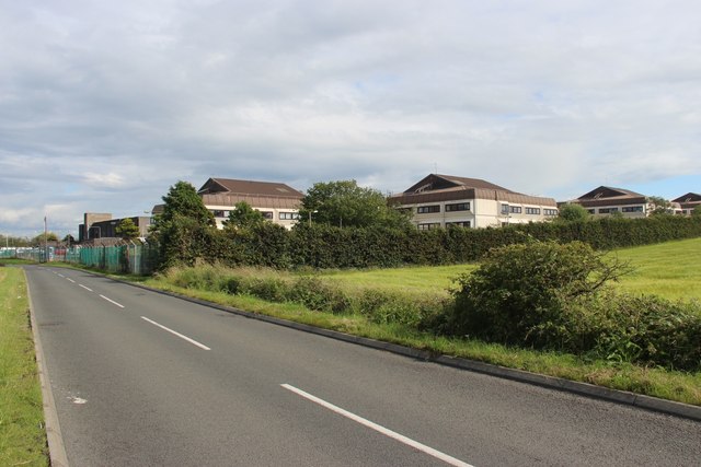
HMS Caledonia (base)
His Majesty’s Ship Caledonia (HMS Caledonia) is a military establishment of the Royal Navy based next to the former Royal Naval Dockyard, Rosyth in Scotland...

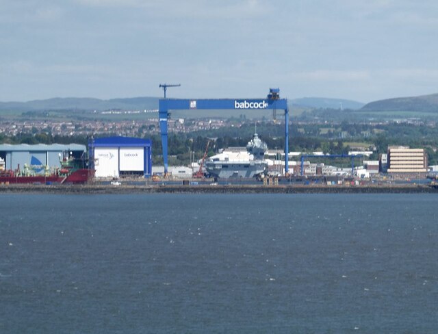
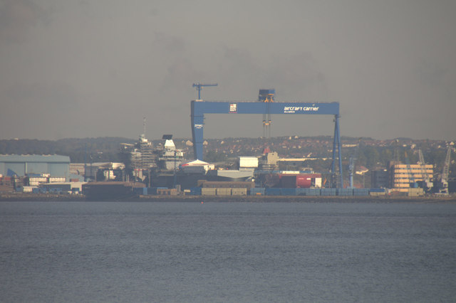
Goliath (Rosyth)
Goliath is a crane in Rosyth Dockyard, Scotland, with a lift capacity of 1,000 tonnes (980 long tons; 1,100 short tons), the largest in Britain. ��2�...
Nearby Amenities
Located within 500m of 56.032732,-3.4615319Have you been to Windylaw Strip?
Leave your review of Windylaw Strip below (or comments, questions and feedback).