Corncockle Plantation

Wood, Forest in Dumfriesshire

Scotland

Corncockle Plantation

Kinnel Water from the Shaw Bridge Looking in a roughly southward direction from the Shaw Bridge over The Kinnel Water.
Kinnel Water from the Shaw Bridge Credit: Colin Kinnear

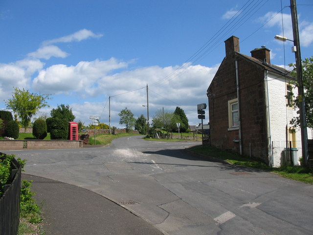
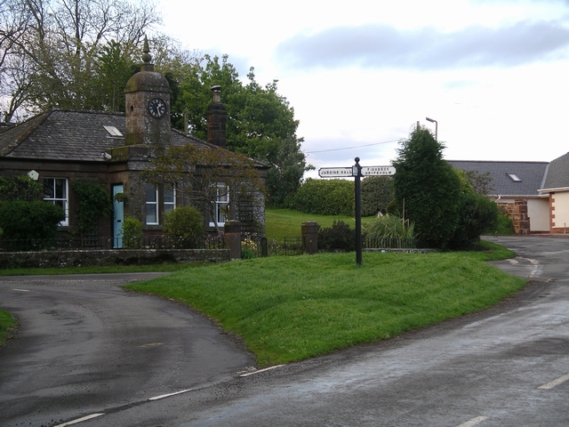
Corncockle Plantation is a picturesque woodland located in Dumfriesshire, Scotland. Covering an area of approximately 200 acres, it is a popular destination for nature enthusiasts and outdoor enthusiasts alike.

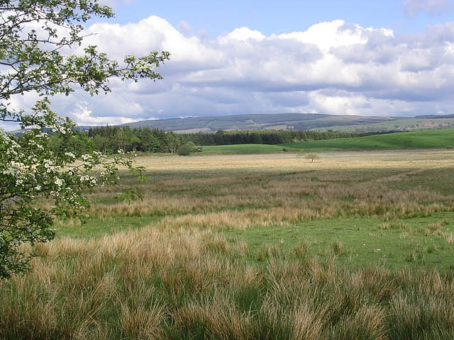
The woodland is primarily composed of dense, mature coniferous trees, such as pine and spruce, which create a serene and peaceful atmosphere. These towering trees provide a habitat for a wide variety of bird species, making it a popular spot for birdwatching. Visitors can often spot species such as crossbills, woodpeckers, and owls, among others.

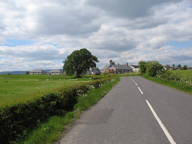
The plantation boasts a network of well-maintained trails, allowing visitors to explore the area on foot or by bike. These trails wind through the woodland, offering stunning views of the surrounding landscape and opportunities to observe the local flora and fauna up close. The paths are suitable for all ages and abilities, making it an ideal destination for families.

In addition to its natural beauty, Corncockle Plantation also has historical significance. It was originally established in the early 20th century as part of a reforestation effort. The plantation has since been managed sustainably, ensuring the preservation of its natural resources and promoting biodiversity.

Corncockle Plantation is easily accessible, with ample parking facilities available for visitors. The woodland also offers picnic areas and benches where visitors can relax and enjoy the tranquility of the surroundings. Whether you are seeking a peaceful walk, birdwatching opportunities, or simply a place to unwind in nature, Corncockle Plantation is a delightful destination to explore in Dumfriesshire.

If you have any feedback on the listing, please let us know in the comments section below.

Corncockle Plantation Images

Images are sourced within 2km of 55.16444/-3.4295164 or Grid Reference NY0986. Thanks to Geograph Open Source API. All images are credited.

Kinnel Water from the Shaw Bridge Looking in a roughly southward direction from the Shaw Bridge over The Kinnel Water.
Kinnel Water from the Shaw Bridge
Looking in a roughly southward direction from the Shaw Bridge over The Kinnel Water.
The bridge at Millhousebridge View from the north, upstream side of the bridge down at river level. Water level was low after a cold dry spell in late february.
The bridge at Millhousebridge
View from the north, upstream side of the bridge down at river level. Water level was low after a cold dry spell in late february.
Millhousebridge showing old foundations This view appears to show the base and infill of an older bridge behind the more modern construction.
Millhousebridge showing old foundations
This view appears to show the base and infill of an older bridge behind the more modern construction.
Country road at Millhousebridge
Meadow above Millhousebridge Annanhill Farm can be seen on the far side of the river.
Meadow above Millhousebridge
Annanhill Farm can be seen on the far side of the river.
Rangebankfoot Bungalows near Millhousebridge.
Rangebankfoot
Bungalows near Millhousebridge.
Fingerpost at Millhousebridge
Old oaks An avenue of beautiful old oak trees lining a minor road in Annandale. Several trees along the road had been cut down, though there was no indication as to why. One of the stumps remaining can just be seen on the extreme left of the picture, and another further along the road on the left.
Old oaks
An avenue of beautiful old oak trees lining a minor road in Annandale. Several trees along the road had been cut down, though there was no indication as to why. One of the stumps remaining can just be seen on the extreme left of the picture, and another further along the road on the left.
River Annan at Millhousebridge The river was very fast flowing here, after heavy rain. The bridge, from where the picture was taken, at Millhousebridge, is the only road crossing of the Annan between Johnstone bridge, about 7km to the north, and Shillahill bridge (see <a href="https://www.geograph.org.uk/photo/62241">NY1080 : Shillahill Bridge</a>) 5km to the south.
River Annan at Millhousebridge
The river was very fast flowing here, after heavy rain. The bridge, from where the picture was taken, at Millhousebridge, is the only road crossing of the Annan between Johnstone bridge, about 7km to the north, and Shillahill bridge (see NY1080 : Shillahill Bridge) 5km to the south.
Millhousebridge Hamlet in Annandale. In the centre of the village is this cottage with a clock tower.
Millhousebridge
Hamlet in Annandale. In the centre of the village is this cottage with a clock tower.
Gateway Beyond these impressive gates was a driveway lined with a beautiful display of rhododendrons and azaleas. Unfortunately the dull wet weather meant that the photo did not do justice to the colours.
Gateway
Beyond these impressive gates was a driveway lined with a beautiful display of rhododendrons and azaleas. Unfortunately the dull wet weather meant that the photo did not do justice to the colours.
The bridge The bridge from which the hamlet of Millhousebridge takes its name.
The bridge
The bridge from which the hamlet of Millhousebridge takes its name.
Approaching Templand A view looking to the northwest along the B7020 on the approach to Templand.
Approaching Templand
A view looking to the northwest along the B7020 on the approach to Templand.
Crossroads at Templand A view looking east to the crossroads on the B7020 at Templand, from the lane to Parkgate.
Crossroads at Templand
A view looking east to the crossroads on the B7020 at Templand, from the lane to Parkgate.
Shaw Bridge A view looking southeast towards Shaw Bridge over Kinnel Water. The buildings at Templand can be seen at left.
Shaw Bridge
A view looking southeast towards Shaw Bridge over Kinnel Water. The buildings at Templand can be seen at left.
The River Annan Viewed from a bridge near Spedlins Tower.
The River Annan
Viewed from a bridge near Spedlins Tower.
Hellshole Moss Bog cotton grass in flower on this moss to the east of the B7020.
Hellshole Moss
Bog cotton grass in flower on this moss to the east of the B7020.
Mossland Looking towards Hellshole Moss from a minor road by Corncockle Plantation.
Mossland
Looking towards Hellshole Moss from a minor road by Corncockle Plantation.
Show me another place!

Corncockle Plantation is located at Grid Ref: NY0986 (Lat: 55.16444, Lng: -3.4295164)

Unitary Authority: Dumfries and Galloway

Police Authority: Dumfries and Galloway

What 3 Words

///costumed.other.reserved. Near Lochmaben, Dumfries & Galloway

Related Wikis

Templand

Templand is a village in Dumfriesshire, Scotland, located around 4.5 miles (7.2 km) northwest of Lockerbie. Templand was built during the Industrial Revolution...

Corncockle Quarry

Corncockle Quarry was a large and historically important sandstone quarry near Templand in Dumfries and Galloway, Scotland. Stone from here was used in...
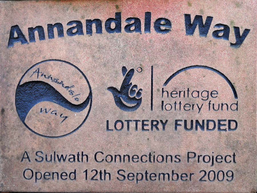
Annandale Way

The Annandale Way is a 90-kilometre (56 mi) hiking trail in Scotland, which is officially designated by NatureScot as one of Scotland's Great Trails. It...

Millhousebridge

Millhousebridge (Scottish Gaelic: Drochaid a' Mhuilinn) is a village in Dumfries and Galloway, Scotland. == References ==

Have you been to Corncockle Plantation?

Leave your review of Corncockle Plantation below (or comments, questions and feedback).