T Plantation

Wood, Forest in Dumfriesshire

Scotland

T Plantation

Almagill Hill Trig Point Flush Bracket S9835
Almagill Hill Trig Point Flush Bracket S9835 Credit: thejackrustles

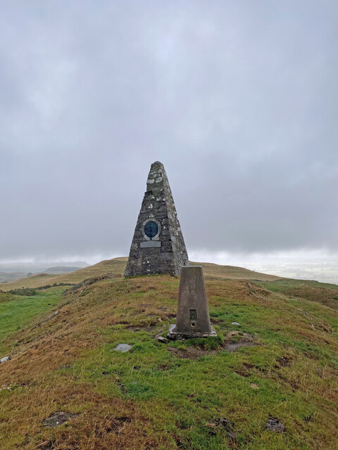
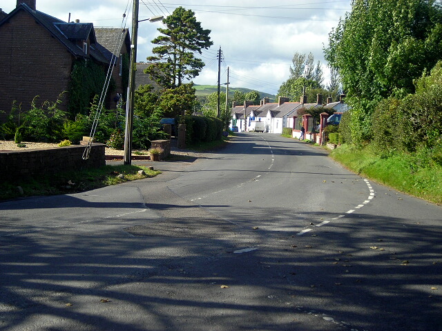
T Plantation, located in Dumfriesshire, is a sprawling wood and forest area renowned for its natural beauty and diverse ecosystem. Covering a vast expanse of land, it is a haven for nature enthusiasts and offers a range of outdoor activities.

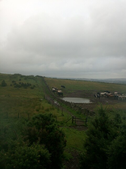
The plantation boasts a rich variety of tree species, including oak, beech, and pine, creating a picturesque landscape throughout the year. The dense woodland provides a habitat for a wide array of wildlife, making it a popular spot for bird watching and animal sightings.

Traversing through T Plantation, visitors can explore numerous walking trails, allowing them to immerse themselves in the tranquil surroundings and soak up the serenity of nature. The well-maintained paths cater to all levels of fitness, from leisurely strolls to more challenging hikes, offering something for everyone.

For those seeking a more adventurous experience, T Plantation offers designated mountain biking trails, providing exhilarating rides through the forest terrain. Cyclists can test their skills on the varied tracks, which cater to both beginners and experienced riders.

In addition to its natural beauty, T Plantation also offers recreational facilities such as picnic areas and children's play areas, making it an ideal destination for families. The plantation is open to the public year-round and is easily accessible, with ample parking available.

T Plantation, Dumfriesshire, is a hidden gem for nature lovers, offering a peaceful retreat amidst the enchanting woodlands of Scotland. Whether you are looking for a leisurely walk, an adrenaline-pumping bike ride, or simply a place to unwind and connect with nature, T Plantation has something for everyone.

If you have any feedback on the listing, please let us know in the comments section below.

T Plantation Images

Images are sourced within 2km of 55.079577/-3.4263779 or Grid Reference NY0977. Thanks to Geograph Open Source API. All images are credited.

Almagill Hill Trig Point Flush Bracket S9835
Section of Annadale Way on a dull rainy day
Monument To Joe Graham <span class="nowrap"><a title="https://britishlistedbuildings.co.uk/200334506-monument-to-joe-graham-almagill-hill-dalton#.YXBr_y8w3w4" rel="nofollow ugc noopener" href="https://britishlistedbuildings.co.uk/200334506-monument-to-joe-graham-almagill-hill-dalton#.YXBr_y8w3w4">Link</a><img style="margin-left:2px;" alt="External link" title="External link - shift click to open in new window" src="https://s1.geograph.org.uk/img/external.png" width="10" height="10"/></span>

Steep pyramidal monument (about 6m high), on summit of
Almagill Hill and with 1896 bronze panel by J W Dods (signed
and dated) set in S face. Rubble-built, bronze panel (hunting
scene) in granite surround, inscribed panel below also
granite.
Monument To Joe Graham
LinkExternal link Steep pyramidal monument (about 6m high), on summit of Almagill Hill and with 1896 bronze panel by J W Dods (signed and dated) set in S face. Rubble-built, bronze panel (hunting scene) in granite surround, inscribed panel below also granite.
Old and new graffiti on Monument To Joe Graham
Triangulation Pillar, Almagill Hill The concrete Ordnance Survey triangulation pillar on the summit of Almagill Hill.
The pillar was constructed in 1958. The flush bracket benchmark number S9835 on the south face of the pillar marks a height of 216.981m above mean sea level (Ordnance Datum Newlyn) last levelled for height in 1973 (detail photograph <a href="https://www.geograph.org.uk/photo/7304437">NY0875 : Benchmark, Almagill Hill</a>).
The triangulation pillar is on The Annandale Way long distance path.  The village in the left background is Hightae, the River Annan is in the valley of Annandale to the right.
Triangulation Pillar, Almagill Hill
The concrete Ordnance Survey triangulation pillar on the summit of Almagill Hill. The pillar was constructed in 1958. The flush bracket benchmark number S9835 on the south face of the pillar marks a height of 216.981m above mean sea level (Ordnance Datum Newlyn) last levelled for height in 1973 (detail photograph NY0875 : Benchmark, Almagill Hill). The triangulation pillar is on The Annandale Way long distance path. The village in the left background is Hightae, the River Annan is in the valley of Annandale to the right.
Benchmark, Almagill Hill Detail of the flush bracket benchmark on the Ordnance Survey triangulation pillar on the summit of Almagill Hill. The flush bracket, benchmark number S9835, is on the south face of the pillar and marks a height of 216.981m above mean sea level (Ordnance Datum Newlyn), last levelled for height in 1973 (location photograph <a href="https://www.geograph.org.uk/photo/7303990">NY0875 : Triangulation Pillar, Almagill Hill</a>).
Benchmark, Almagill Hill
Detail of the flush bracket benchmark on the Ordnance Survey triangulation pillar on the summit of Almagill Hill. The flush bracket, benchmark number S9835, is on the south face of the pillar and marks a height of 216.981m above mean sea level (Ordnance Datum Newlyn), last levelled for height in 1973 (location photograph NY0875 : Triangulation Pillar, Almagill Hill).
Hightae village
Hightae village
Road junction near Hightae
Farmyard near Smallholm
Road junction near Smallholm
Minor road near Smallholm Farm
Rammerscales Sawmill
Hightae War Memorial
The Royal Four Towns Hall, Hightae Dated 1910. The Royal Four Towns of Lochmaben - Greenhill, Heck, Hightae and Smallholm.
The Royal Four Towns Hall, Hightae
Dated 1910. The Royal Four Towns of Lochmaben - Greenhill, Heck, Hightae and Smallholm.
Bridge over Inch Burn south of Hightae
Vale of the River Annan Looking from the B7020 to Copewood Farm on the far side of the river. The course of the River Annan is marked by the trees in the middle distance. Birkshaw Forest <a href="https://www.geograph.org.uk/gridref/NY1177">NY1177</a> on the skyline.
Vale of the River Annan
Looking from the B7020 to Copewood Farm on the far side of the river. The course of the River Annan is marked by the trees in the middle distance. Birkshaw Forest NY1177 on the skyline.
Vale of the River Annan Looking from Smallwood over to Bengalhill (the farm to the left in the middle distance). The bushes in the foreground mark the course of the River Annan.
Vale of the River Annan
Looking from Smallwood over to Bengalhill (the farm to the left in the middle distance). The bushes in the foreground mark the course of the River Annan.
Show me another place!

T Plantation is located at Grid Ref: NY0977 (Lat: 55.079577, Lng: -3.4263779)

Unitary Authority: Dumfries and Galloway

Police Authority: Dumfries and Galloway

What 3 Words

///foggy.burglars.warnings. Near Lochmaben, Dumfries & Galloway

Related Wikis

Heck, Dumfries and Galloway

Heck is a hamlet in the local government area of Dumfries and Galloway, Scotland. Heck is 2 miles (3.2 km) southeast of the town of Lochmaben and is 1...

Rockhall Tower

Rockhall Tower, also known as Rockhall House or Rockhall Tower House, is a 16th-century tower house in Collin, Dumfries and Galloway. The castle originally...

Dalton, Dumfries and Galloway

The village of Dalton is a small settlement about 10 miles (16 km) southeast of Dumfries and 4 miles (6.4 km) south of Lockerbie, in Dumfries and Galloway...

Hallmuir Ukrainian Chapel

The Hallmuir Ukrainian Chapel is a chapel built at a Hallmuir prisoner of war camp near Lockerbie in Scotland. After the Second World War, this camp housed...

Nearby Amenities

Located within 500m of 55.079577,-3.4263779
Woodlands
Naptan AtcoCode: 680000591111
Naptan Bearing: NW
Naptan BusStopType: CUS
Naptan CommonName: Woodlands
Naptan Indicator: opp Road End
Naptan Landmark: Woodlands
Naptan NaptanCode: 34237358
Naptan Notes: none
Naptan Street: B7020
Naptan Verified: no
Source: naptan_import
Lat/Long: 55.0805601/-3.4205773
Woodlands
Naptan AtcoCode: 680000591222
Naptan Bearing: SE
Naptan BusStopType: CUS
Naptan CommonName: Woodlands
Naptan Indicator: Road End
Naptan Landmark: Woodlands
Naptan NaptanCode: 34237357
Naptan Notes: none
Naptan Street: B7020
Naptan Verified: no
Source: naptan_import
Lat/Long: 55.0804732/-3.4203235
Power: pole
Lat/Long: 55.0838104/-3.4274864
Power: pole
Lat/Long: 55.0835568/-3.4288079
Power: pole
Lat/Long: 55.0834314/-3.4294493
Power: pole
Lat/Long: 55.0838502/-3.4254565
Power: pole
Lat/Long: 55.0835494/-3.4251758
Power: pole
Lat/Long: 55.0832781/-3.4249388
Power: pole
Lat/Long: 55.0777928/-3.4194082
Power: pole
Lat/Long: 55.0775849/-3.4208868
Power: pole
Lat/Long: 55.0773784/-3.422283
Power: pole
Lat/Long: 55.0772516/-3.4231871
Power: pole
Lat/Long: 55.0771233/-3.4240449
Power: pole
Lat/Long: 55.080481/-3.419537
The data included in this document is from www.openstreetmap.org. The data is made available under ODbL.

Have you been to T Plantation?

Leave your review of T Plantation below (or comments, questions and feedback).