Paradise

Settlement in Northumberland

England

Paradise

Crossing the River Tyne at Blaydon Two more bridges further down the river - the nearer is the old Scotswood Railway Bridge while the farther one is Scotswood Road Bridge.
Crossing the River Tyne at Blaydon Credit: Eirian Evans

Paradise is a small village located in Northumberland, a county in the northeast of England. Situated near the coastal town of Alnwick, Paradise offers a picturesque and tranquil setting for residents and visitors alike. With a population of around 200 people, it is known for its close-knit community and friendly atmosphere.

Surrounded by rolling countryside and stunning landscapes, Paradise is a haven for nature enthusiasts. The village is blessed with an abundance of green spaces, including scenic walking trails and peaceful picnic spots. The nearby coast offers beautiful sandy beaches and breathtaking views of the North Sea.

Despite its small size, Paradise boasts some notable landmarks and attractions. One of the village's highlights is St. Mary's Church, a historic building that dates back to the 12th century and is renowned for its architectural beauty. The church holds regular services and is a popular venue for weddings and other special occasions.

Paradise is also home to a charming village pub, where locals and visitors can enjoy a traditional English meal or relax with a pint of locally brewed ale. The pub serves as a social hub for the community, hosting various events and gatherings throughout the year.

Overall, Paradise offers a serene and idyllic lifestyle for its residents, with its natural beauty and sense of community making it a truly special place to live or visit in Northumberland.

If you have any feedback on the listing, please let us know in the comments section below.
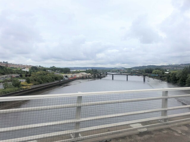
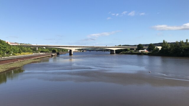
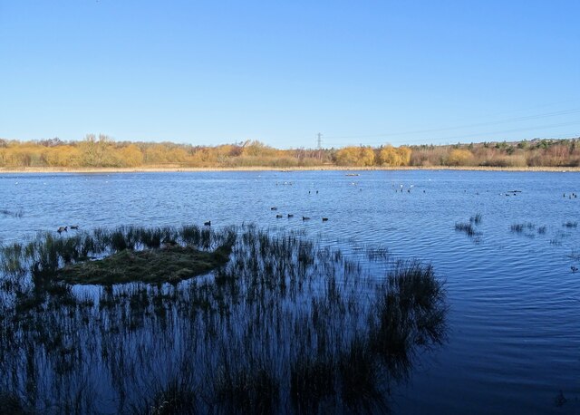
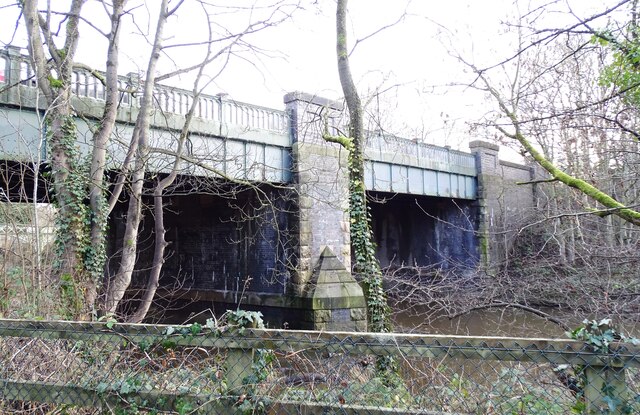
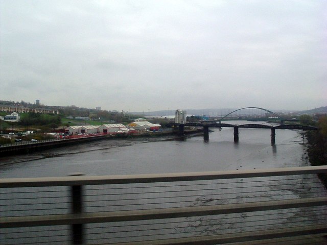
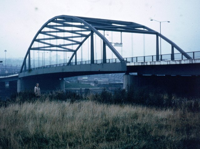
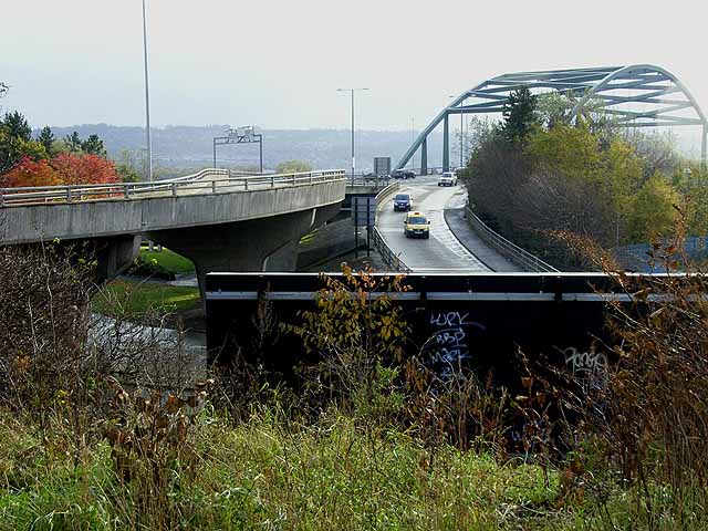
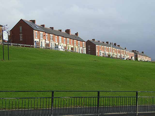
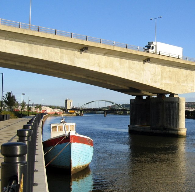
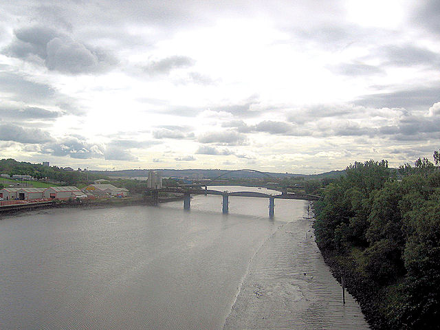
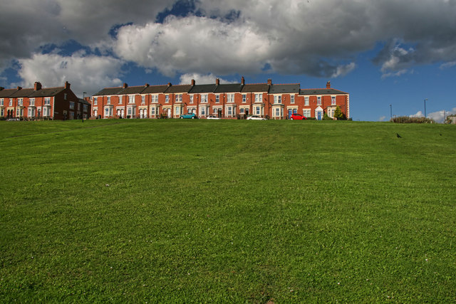
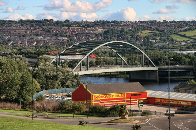
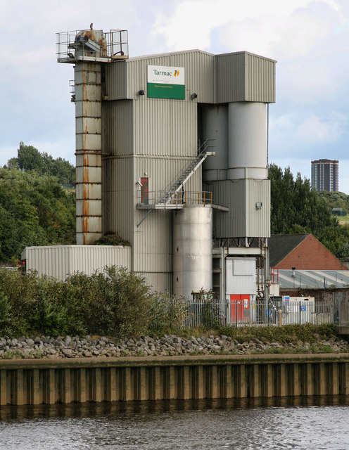
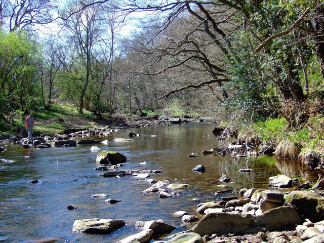
Paradise Images

Images are sourced within 2km of 54.966145/-1.668053 or Grid Reference NZ2163. Thanks to Geograph Open Source API. All images are credited.

Crossing the River Tyne at Blaydon Two more bridges further down the river - the nearer is the old Scotswood Railway Bridge while the farther one is Scotswood Road Bridge.
Crossing the River Tyne at Blaydon
Two more bridges further down the river - the nearer is the old Scotswood Railway Bridge while the farther one is Scotswood Road Bridge.
Blaydon Bridge
Blaydon Bridge
Shibdon Pond full again The pond dried out almost completely in the hot summer of 2022, but now in January 2023 I was pleased to find it full of water again.  The problem is the sole inflow is a small stream which is fed from old flooded mine workings. Last summer the water level in the old workings dropped and the stream stopped running. There was then no rain to keep the water level up, and the pond almost completely dried out. Thankfully the stream is now running well again.
Shibdon Pond full again
The pond dried out almost completely in the hot summer of 2022, but now in January 2023 I was pleased to find it full of water again. The problem is the sole inflow is a small stream which is fed from old flooded mine workings. Last summer the water level in the old workings dropped and the stream stopped running. There was then no rain to keep the water level up, and the pond almost completely dried out. Thankfully the stream is now running well again.
Swalwell Bridge This is alternatively known as the New Derwent Bridge, although it is now nearly a century old. It was built in 1927 to replace the old turnpike bridge over the Derwent, and now carries the B6317 to Blaydon and beyond.
Swalwell Bridge
This is alternatively known as the New Derwent Bridge, although it is now nearly a century old. It was built in 1927 to replace the old turnpike bridge over the Derwent, and now carries the B6317 to Blaydon and beyond.
Scotswood railway bridge This rail bridge was built in 1871 and carried rail traffic from the long closed Newcastle/Scotswood line over the river.
Scotswood railway bridge
This rail bridge was built in 1871 and carried rail traffic from the long closed Newcastle/Scotswood line over the river.
Sunset behind Scotswood bridge A sunset behind Scotswood bridge, the bridge sits next to Vickers/BAE systems factory.
Sunset behind Scotswood bridge
A sunset behind Scotswood bridge, the bridge sits next to Vickers/BAE systems factory.
Blaydon Road Bridge The new Blaydon road bridge with Scotswood road and rail bridges in the background.
Blaydon Road Bridge
The new Blaydon road bridge with Scotswood road and rail bridges in the background.
River Tyne north bank View from A1 bridge
River Tyne north bank
View from A1 bridge
River Tyne downstream View from south end of the A1 bridge
River Tyne downstream
View from south end of the A1 bridge
Scotswood Bridge
Scotswood Bridge
Northern approach to Scotswood Bridge Before the construction of the Newcastle By-pass, A1, Scotswood Bridge was the principal crossing of the River Tyne upstream from Newcastle city centre. Seen from Hadrian's Way, a path from Wylam to Newcastle along the north bank of the Tyne which carries both Hadrian's Cycleway 
<span class="nowrap"><a title="http://www.cycle-routes.org/HADRIANSCYCLEWAY/and" rel="nofollow ugc noopener" href="http://www.cycle-routes.org/HADRIANSCYCLEWAY/and">Link</a><img style="margin-left:2px;" alt="External link" title="External link - shift click to open in new window" src="https://s1.geograph.org.uk/img/external.png" width="10" height="10"/></span> Hadrian's Wall National 
Trail <span class="nowrap"><a title="http://www.nationaltrail.co.uk/hadrianswall/" rel="nofollow ugc noopener" href="http://www.nationaltrail.co.uk/hadrianswall/">Link</a><img style="margin-left:2px;" alt="External link" title="External link - shift click to open in new window" src="https://s1.geograph.org.uk/img/external.png" width="10" height="10"/></span>.
Northern approach to Scotswood Bridge
Before the construction of the Newcastle By-pass, A1, Scotswood Bridge was the principal crossing of the River Tyne upstream from Newcastle city centre. Seen from Hadrian's Way, a path from Wylam to Newcastle along the north bank of the Tyne which carries both Hadrian's Cycleway LinkExternal link Hadrian's Wall National Trail LinkExternal link.
Terraced houses on Whitfield Road Seen from Hadrian's Way, a path from Wylam to Newcastle along the north bank of the Tyne which carries both Hadrian's Cycleway 
<span class="nowrap"><a title="http://www.cycle-routes.org/HADRIANSCYCLEWAY/and" rel="nofollow ugc noopener" href="http://www.cycle-routes.org/HADRIANSCYCLEWAY/and">Link</a><img style="margin-left:2px;" alt="External link" title="External link - shift click to open in new window" src="https://s1.geograph.org.uk/img/external.png" width="10" height="10"/></span> Hadrian's Wall National Trail <span class="nowrap"><a title="http://www.nationaltrail.co.uk/hadrianswall/" rel="nofollow ugc noopener" href="http://www.nationaltrail.co.uk/hadrianswall/">Link</a><img style="margin-left:2px;" alt="External link" title="External link - shift click to open in new window" src="https://s1.geograph.org.uk/img/external.png" width="10" height="10"/></span>.
Terraced houses on Whitfield Road
Seen from Hadrian's Way, a path from Wylam to Newcastle along the north bank of the Tyne which carries both Hadrian's Cycleway LinkExternal link Hadrian's Wall National Trail LinkExternal link.
A1 road bridge over the River Tyne Looking down river to the Scotswood Bridge.
In 2003, when this photo was taken, the abandoned fishing boat, 'Brekaer', still had its superstructure intact. This had gone by 2006 <a href="https://www.geograph.org.uk/photo/285020">NZ1964 : Blaydon Road Bridge</a>.
Vandalism, tides and weather have taken toll of its blue and red paint and now, in the right hands, it provides a fine photographic subject of beautiful decay
<span class="nowrap"><a title="http://www.flickr.com/photos/chris_leithead/3716735320/in/set-72157608812534172/" rel="nofollow ugc noopener" href="http://www.flickr.com/photos/chris_leithead/3716735320/in/set-72157608812534172/">Link</a><img style="margin-left:2px;" alt="External link" title="External link - shift click to open in new window" src="https://s1.geograph.org.uk/img/external.png" width="10" height="10"/></span>
A1 road bridge over the River Tyne
Looking down river to the Scotswood Bridge. In 2003, when this photo was taken, the abandoned fishing boat, 'Brekaer', still had its superstructure intact. This had gone by 2006 NZ1964 : Blaydon Road Bridge. Vandalism, tides and weather have taken toll of its blue and red paint and now, in the right hands, it provides a fine photographic subject of beautiful decay LinkExternal link
River Tyne from A1 bridge
A1 road bridge crossing Scotswood Road (A6085) On the north side of the River Tyne. The reinforced embankment on the right is just below a large B&Q store.
A1 road bridge crossing Scotswood Road (A6085)
On the north side of the River Tyne. The reinforced embankment on the right is just below a large B&Q store.
Whitfield Road Terraced houses on Whitfield Road in Scotswood seen from Fowberry Road.
Whitfield Road
Terraced houses on Whitfield Road in Scotswood seen from Fowberry Road.
Scotswood Bridge View of Scotswood Bridge from Whitfield Road.
Scotswood Bridge
View of Scotswood Bridge from Whitfield Road.
Tarmac Topmix Scotswood Plant
Show me another place!

Paradise is located at Grid Ref: NZ2163 (Lat: 54.966145, Lng: -1.668053)

Unitary Authority: Newcastle upon Tyne

Police Authority: Northumbria

What 3 Words

///spaces.type.sadly. Near Benwell, Tyne & Wear

Related Wikis

Scotswood Works Halt railway station

Scotswood Works Halt railway station served the area of Scotswood, Newcastle-upon-Tyne, England from 1915 to 1944 on the Tyne Valley Line. == History... ==

Elswick railway station

Elswick railway station was a railway station in the Elswick area of Newcastle upon Tyne, England. It was located on the former route of the Newcastle...

Benwell Dene

Benwell Dene is a Victorian building in the suburb of Benwell, Newcastle Upon Tyne, England. It was designed by Alfred Waterhouse for Dr Thomas Hodgkin...

River Derwent, North East England

The River Derwent is a river which flows between the historic county boundaries of Durham and Northumberland in the north east of England. It broadens...

Nearby Amenities

Located within 500m of 54.966145,-1.668053
Source: PGS
Lat/Long: 54.9625652/-1.6637272
Source: PGS
Lat/Long: 54.9627836/-1.665127
Source: PGS
Lat/Long: 54.9628868/-1.666305
Source: PGS
Lat/Long: 54.9632177/-1.6684214
Source: PGS
Lat/Long: 54.9633899/-1.6697366
Source: PGS
Lat/Long: 54.9635978/-1.6709664
Source: PGS
Lat/Long: 54.9638076/-1.6722238
Source: PGS
Lat/Long: 54.9639702/-1.6738116
Created By: almien_coastlines
Source: PGS
Lat/Long: 54.9654438/-1.6756815
Source: PGS
Lat/Long: 54.9654035/-1.6745496
Source: PGS
Lat/Long: 54.9653248/-1.6736138
Source: PGS
Lat/Long: 54.9652688/-1.673023
Source: PGS
Lat/Long: 54.9651391/-1.6715082
Source: PGS
Lat/Long: 54.9649837/-1.6700706
Source: PGS
Lat/Long: 54.9647801/-1.6678826
Source: PGS
Lat/Long: 54.9646001/-1.6639597
Source: PGS
Lat/Long: 54.9643741/-1.6616967
Source: PGS
Lat/Long: 54.9643299/-1.6612205
Mini Roundabout
Direction: clockwise
Lat/Long: 54.9670394/-1.6636508
Traffic Signals
Traffic Signals: signal
Lat/Long: 54.969187/-1.6628758
Bus Stop
SCOTSWOOD ROAD-WHITEHOUSE ROAD-W/B
Bench: yes
Bin: no
Lit: yes
Local Ref: W
Naptan AtcoCode: 410000014665
Naptan Bearing: W
Naptan CommonName: SCOTSWOOD ROAD-WHITEHOUSE ROAD-W/B
Naptan Indicator: W
Naptan Landmark: EAST OF WHITEHOUSE ROAD ROUNDABOUT
Naptan NaptanCode: twrdamdw
Naptan PlusbusZoneRef: NWCSTLE
Naptan Street: SCOTSWOOD ROAD
Naptan Verified: no
Shelter: yes
Source: naptan_import;Bing
Tactile Paving: no
Lat/Long: 54.9655651/-1.6657217
Bus Stop
SCOTSWOOD ROAD-PARADISE-W/B
Bench: yes
Bin: no
Local Ref: W
Naptan AtcoCode: 410000014667
Naptan Bearing: W
Naptan CommonName: SCOTSWOOD ROAD-PARADISE-W/B
Naptan Indicator: W
Naptan Landmark: OUTSIDE VICKERS PRESSINGS
Naptan NaptanCode: twrdamgd
Naptan PlusbusZoneRef: NWCSTLE
Naptan Street: SCOTSWOOD ROAD
Naptan Verified: no
Shelter: yes
Source: naptan_import;Bing
Lat/Long: 54.9657992/-1.6698282
Bus Stop
Whitehouse Enterprise Centre
Bench: yes
Bin: no
Bus: yes
Departures Board: timetable
Local Ref: E
Naptan AtcoCode: 410000014668
Naptan Bearing: E
Naptan CommonName: WHITEHOUSE ENTERPRISE CENTRE-E/B
Naptan Indicator: E
Naptan Landmark: OPPOSITE VICKERS PRESSING AND MICHELL BEARINGS
Naptan NaptanCode: twrdamgj
Naptan PlusbusZoneRef: NWCSTLE
Naptan Street: SCOTSWOOD ROAD
Naptan Verified: no
Public Transport: platform
Shelter: yes
Source: naptan_import
Lat/Long: 54.9660313/-1.6697404
Bus Stop
WHITEHOUSE ENTERPRISE CENTRE-W/B
Local Ref: W
Naptan AtcoCode: 410000014669
Naptan Bearing: W
Naptan CommonName: WHITEHOUSE ENTERPRISE CENTRE-W/B
Naptan Indicator: W
Naptan Landmark: OUTSIDE VICKERS PRESSING AND MICHELL BEARINGS
Naptan NaptanCode: twrdamgm
Naptan PlusbusZoneRef: NWCSTLE
Naptan Street: SCOTSWOOD ROAD
Naptan Verified: no
Source: naptan_import
Lat/Long: 54.9660858/-1.674208
Bus Stop
DELTA BANK ROAD-WORKS-W/B
Local Ref: W
Naptan AtcoCode: 410000014991
Naptan Bearing: W
Naptan CommonName: DELTA BANK ROAD-WORKS-W/B
Naptan Indicator: W
Naptan Landmark: NEXT TO THE WATERMARK
Naptan NaptanCode: twrgwgwm
Naptan PlusbusZoneRef: NWCSTLE
Naptan Street: DELTA BANK ROAD
Naptan Verified: no
Source: naptan_import
Lat/Long: 54.9626217/-1.6726153
Bus Stop
DELTA BANK ROAD-E/B
Local Ref: E
Naptan AtcoCode: 410000014992
Naptan Bearing: E
Naptan CommonName: DELTA BANK ROAD-E/B
Naptan Indicator: E
Naptan Landmark: NEXT TO TYNE TEES TELEVISION
Naptan NaptanCode: twrgwgwj
Naptan PlusbusZoneRef: NWCSTLE
Naptan Street: DELTA BANK ROAD
Naptan Verified: no
Source: naptan_import
Lat/Long: 54.9623816/-1.6702241
Bus Stop
DELTA BANK ROAD-W/B
Local Ref: W
Naptan AtcoCode: 410000014993
Naptan Bearing: W
Naptan CommonName: DELTA BANK ROAD-W/B
Naptan Indicator: W
Naptan Landmark: NEXT TO TYNE TEES TELEVISION
Naptan NaptanCode: twrgwgwg
Naptan PlusbusZoneRef: NWCSTLE
Naptan Street: DELTA BANK ROAD
Naptan Verified: no
Source: naptan_import
Lat/Long: 54.9623189/-1.6702871
Bus Stop
Buddle Road-Violet Close
Bench: yes
Bus: yes
Covered: yes
Local Ref: W
Naptan AtcoCode: 410000014617
Naptan Bearing: W
Naptan Indicator: W-Bound
Naptan Landmark: Opposite Club/ Joan Street
Naptan NaptanCode: twrdajpg
Naptan PlusbusZoneRef: NWCSTLE
Naptan Street: Buddle Road
Naptan Verified: no
Public Transport: platform
Shelter: yes
Source: naptan_import
Lat/Long: 54.9668079/-1.6622061
Bus Stop
BUDDLE ROAD-VIOLET CLOSE-E/B
Local Ref: E
Naptan AtcoCode: 410000014618
Naptan Bearing: E
Naptan CommonName: BUDDLE ROAD-VIOLET CLOSE-E/B
Naptan Indicator: E
Naptan Landmark: WEST OF CLUB AND JOAN STREET
Naptan NaptanCode: twrdajpj
Naptan PlusbusZoneRef: NWCSTLE
Naptan Street: BUDDLE ROAD
Naptan Verified: no
Source: naptan_import
Lat/Long: 54.9669796/-1.6625327
Bus Stop
ARMSTRONG ROAD-BISHOPS ROAD-E/B
Local Ref: E
Naptan AtcoCode: 410000014624
Naptan Bearing: E
Naptan CommonName: ARMSTRONG ROAD-BISHOPS ROAD-E/B
Naptan Indicator: E
Naptan Landmark: OPPOSITE ATKINSON ROAD PRIMARY SCHOOL
Naptan NaptanCode: twrdajtg
Naptan PlusbusZoneRef: NWCSTLE
Naptan Street: ARMSTRONG ROAD
Naptan Verified: no
Public Transport: platform
Source: naptan_import
Lat/Long: 54.9694188/-1.6639181
Bus Stop
ARMSTRONG ROAD-ATKINSON ROAD-W/B
Local Ref: W
Naptan AtcoCode: 410000014625
Naptan Bearing: W
Naptan CommonName: ARMSTRONG ROAD-ATKINSON ROAD-W/B
Naptan Indicator: W
Naptan Landmark: OUTSIDE ATKINSON ROAD PRIMARY SCHOOL
Naptan NaptanCode: twrdajtj
Naptan PlusbusZoneRef: NWCSTLE
Naptan Street: ARMSTRONG ROAD
Naptan Verified: no
Public Transport: platform
Source: naptan_import
Lat/Long: 54.9691922/-1.663217
Bus Stop
Armstrong Road-Hodgkin Park Road
Bus: yes
Local Ref: E
Naptan AtcoCode: 410000014626
Naptan Bearing: E
Naptan Indicator: E-Bound
Naptan Landmark: Outside Hodgkin Park
Naptan NaptanCode: twrdajtm
Naptan PlusbusZoneRef: NWCSTLE
Naptan Street: Armstrong Road
Naptan Verified: no
Public Transport: platform
Source: naptan_import
Lat/Long: 54.9699666/-1.6703494
Bus Stop
Armstrong Road-Woodland Crescent
Bus: yes
Local Ref: W
Naptan AtcoCode: 410000014627
Naptan Bearing: W
Naptan Indicator: W-Bound
Naptan Landmark: Outside Woodland Terrace
Naptan NaptanCode: twrdajtp
Naptan PlusbusZoneRef: NWCSTLE
Naptan Street: Armstrong Road
Naptan Verified: no
Public Transport: platform
Source: naptan_import
Lat/Long: 54.9699106/-1.6706529
Bus Stop
Scotswood Road
Bench: yes
Bin: no
Bus: yes
Departures Board: timetable
Lit: yes
Local Ref: E
Naptan AtcoCode: 410000014664
Naptan Bearing: E
Naptan CommonName: SCOTSWOOD ROAD-WHITEHOUSE ROAD-E/B
Naptan Indicator: E
Naptan Landmark: 100M EAST OF WHITEHOUSE ROAD
Naptan NaptanCode: twrdamdt
Naptan PlusbusZoneRef: NWCSTLE
Naptan Street: SCOTSWOOD ROAD
Naptan Verified: no
Public Transport: platform
Shelter: yes
Source: naptan_import;Bing
Tactile Paving: no
Lat/Long: 54.9652001/-1.6604787
Barrier: bollard
Lat/Long: 54.9694929/-1.6641155
Traffic Signals
Source: Bing
Traffic Signals: signal
Traffic Signals Direction: forward
Lat/Long: 54.966354/-1.6757384
Traffic Signals
Source: Bing
Traffic Signals: signal
Traffic Signals Direction: forward
Lat/Long: 54.9659423/-1.6680271
Traffic Signals
Source: Bing
Traffic Signals: signal
Traffic Signals Direction: forward
Lat/Long: 54.9657809/-1.6673408
Crossing
Lat/Long: 54.9664412/-1.6755222
Crossing
Lat/Long: 54.9658845/-1.6666333
Traffic Signals
Source: Bing
Traffic Signals: signal
Traffic Signals Direction: forward
Lat/Long: 54.9660657/-1.6733638
Traffic Signals
Source: Bing
Traffic Signals: signal
Traffic Signals Direction: forward
Lat/Long: 54.9653493/-1.6634081
Barrier: cycle_barrier
Bicycle: yes
Cycle Barrier: single
Cycle Barrier Installation: fixed
Foot: yes
Source: survey
Lat/Long: 54.9659814/-1.6667752
Traffic Signals
Source: Bing
Traffic Signals: signal
Traffic Signals Direction: forward
Lat/Long: 54.9654764/-1.6643489
Traffic Signals
Source: Bing
Traffic Signals: signal
Traffic Signals Direction: forward
Lat/Long: 54.9655603/-1.6641691
Traffic Signals
Source: Bing
Traffic Signals: signal
Traffic Signals Direction: forward
Lat/Long: 54.9656076/-1.6636847
Barrier: kerb
Kerb: lowered
Tactile Paving: yes
Lat/Long: 54.9656502/-1.6639142
Traffic Signals
Source: Bing
Traffic Signals: signal
Traffic Signals Direction: forward
Lat/Long: 54.9655906/-1.6635441
Traffic Signals
Source: Bing
Traffic Signals: signal
Traffic Signals Direction: forward
Lat/Long: 54.9662492/-1.6739187
Crossing
Bicycle: no
Button Operated: yes
Check Date Crossing: 2021-10-03
Crossing: traffic_signals
Crossing Ref: pelican
Source: Bing;survey
Tactile Paving: yes
Lat/Long: 54.9653689/-1.6635507
Traffic Signals
Traffic Signals: signal
Traffic Signals Direction: forward
Lat/Long: 54.9656804/-1.6678895
Noexit: yes
Lat/Long: 54.9634881/-1.6712953
Post Box
Collection Times: Mo-Fr 17:15; Sa 11:15
Operator: Royal Mail
Operator Wikidata: Q638098
Post Box Type: pillar
Ref: NE11 180
Lat/Long: 54.9619964/-1.6700556
ADM Pressings
Man Made: works
Lat/Long: 54.9654979/-1.668224
Michell Bearings
Man Made: works
Lat/Long: 54.9658126/-1.6725553
Entrance: yes
Lat/Long: 54.9700534/-1.6709738
Noexit: yes
Lat/Long: 54.9691516/-1.6685459
Bench
Backrest: yes
Lat/Long: 54.9693228/-1.6695804
Bench
Lat/Long: 54.9691755/-1.6683366
Bench
Lat/Long: 54.9691693/-1.668279
Bench
Lat/Long: 54.9692024/-1.6681771
Bench
Lat/Long: 54.9691932/-1.6679585
Playground: slide
Lat/Long: 54.9689698/-1.6684171
Crossing
Crossing: unmarked
Crossing Island: no
Crossing Markings: no
Tactile Paving: yes
Lat/Long: 54.9660528/-1.6737536
Generator Method: photovoltaic
Generator Output Electricity: yes
Generator Source: solar
Generator Type: solar_photovoltaic_panel
Location: roof
Power: generator
Lat/Long: 54.9701582/-1.6682819
Generator Method: photovoltaic
Generator Output Electricity: yes
Generator Source: solar
Generator Type: solar_photovoltaic_panel
Location: roof
Power: generator
Lat/Long: 54.9701397/-1.6683785
Playground: climbingframe
Lat/Long: 54.9688898/-1.6687582
Playground: seesaw
Lat/Long: 54.9689722/-1.6686818
Playground: swing
Lat/Long: 54.9690246/-1.6686617
Bicycle Parking
Bicycle Parking: stands
Capacity: 6
Lat/Long: 54.9688357/-1.6685311
Barratt Homes
Brand: Barratt Homes
Brand Wikidata: Q43851666
Contact Website: https://www.barrattcareers.co.uk/locations/north-east
Office: company
Lat/Long: 54.9630168/-1.6712898
Note: extent of electricity cable install/upgrade works in July 2017
Lat/Long: 54.9695113/-1.6657655
Crossing
Lat/Long: 54.9663567/-1.6757616
Traffic Signals
Traffic Signals: signal
Traffic Signals Direction: forward
Lat/Long: 54.9660302/-1.6737635
Traffic Signals
Traffic Signals: signal
Traffic Signals Direction: forward
Lat/Long: 54.965696/-1.667761
Crossing
Lat/Long: 54.9657491/-1.6666129
Crossing
Crossing Signals: yes
Tactile Paving: yes
Lat/Long: 54.965572/-1.6636984
Crossing
Crossing Signals: yes
Tactile Paving: yes
Lat/Long: 54.9656374/-1.6638343
Crossing
Crossing Signals: yes
Tactile Paving: yes
Lat/Long: 54.9654799/-1.6635788
Crossing
Crossing Signals: yes
Tactile Paving: yes
Lat/Long: 54.9655522/-1.6641037
Crossing
Crossing Signals: yes
Tactile Paving: yes
Lat/Long: 54.9654866/-1.6644234
Street Lamp
Lamp Mount: bent_mast
Lamp Type: electric
Lat/Long: 54.9662538/-1.6733318
Street Lamp
Lamp Mount: bent_mast
Lamp Type: electric
Lat/Long: 54.9657735/-1.6685802
Street Lamp
Lamp Mount: bent_mast
Lamp Type: electric
Lat/Long: 54.9658373/-1.6706908
Street Lamp
Lamp Mount: bent_mast
Lamp Type: electric
Lat/Long: 54.9661823/-1.6746649
Street Lamp
Lamp Mount: bent_mast
Lamp Type: electric
Lat/Long: 54.9652879/-1.6613405
Street Lamp
Lamp Mount: bent_mast
Lamp Type: electric
Lat/Long: 54.9661016/-1.6713482
Street Lamp
Lamp Mount: bent_mast
Lamp Type: electric
Lat/Long: 54.9657386/-1.6673641
Street Lamp
Lamp Mount: bent_mast
Lamp Type: electric
Lat/Long: 54.9659755/-1.6727896
Street Lamp
Lamp Mount: bent_mast
Lamp Type: electric
Lat/Long: 54.9656487/-1.6676263
Street Lamp
Lamp Mount: bent_mast
Lamp Type: electric
Lat/Long: 54.9657754/-1.669994
Street Lamp
Lamp Mount: bent_mast
Lamp Type: electric
Lat/Long: 54.966186/-1.6727503
Street Lamp
Lamp Mount: bent_mast
Lamp Type: electric
Lat/Long: 54.9661496/-1.6720637
Street Lamp
Lamp Mount: bent_mast
Lamp Type: electric
Lat/Long: 54.9663957/-1.6745491
Street Lamp
Lamp Mount: bent_mast
Lamp Type: electric
Lat/Long: 54.9660051/-1.6733732
Street Lamp
Lamp Mount: bent_mast
Lamp Type: electric
Lat/Long: 54.9658795/-1.6713725
Street Lamp
Lamp Mount: bent_mast
Lamp Type: electric
Lat/Long: 54.9659305/-1.6720858
Street Lamp
Lamp Mount: bent_mast
Lamp Type: electric
Lat/Long: 54.9653728/-1.6620265
Street Lamp
Lamp Mount: bent_mast
Lamp Type: electric
Lat/Long: 54.9665412/-1.6758053
Street Lamp
Lamp Mount: bent_mast
Lamp Type: electric
Lat/Long: 54.9663127/-1.6739718
Street Lamp
Lamp Mount: bent_mast
Lamp Type: electric
Lat/Long: 54.9662921/-1.675761
Street Lamp
Lamp Mount: bent_mast
Lamp Type: electric
Lat/Long: 54.9657323/-1.6679872
Street Lamp
Lamp Mount: bent_mast
Lamp Type: electric
Lat/Long: 54.9654723/-1.6626811
Street Lamp
Lamp Mount: bent_mast
Lamp Type: electric
Lat/Long: 54.9660796/-1.6740446
Street Lamp
Lamp Mount: bent_mast
Lamp Type: electric
Lat/Long: 54.965127/-1.6621237
Street Lamp
Lamp Mount: bent_mast
Lamp Type: electric
Lat/Long: 54.9654988/-1.6640609
Street Lamp
Lamp Mount: bent_mast
Lamp Type: electric
Lat/Long: 54.9654216/-1.6633713
Street Lamp
Lamp Mount: bent_mast
Lamp Type: electric
Lat/Long: 54.9657792/-1.6692811
Street Lamp
Lamp Mount: bent_mast
Lamp Type: electric
Lat/Long: 54.9649731/-1.6608875
Street Lamp
Lamp Mount: bent_mast
Lamp Type: electric
Lat/Long: 54.9652043/-1.6628126
Street Lamp
Lamp Mount: bent_mast
Lamp Type: electric
Lat/Long: 54.9650207/-1.6614456
Street Lamp
Lamp Mount: bent_mast
Lamp Type: electric
Lat/Long: 54.9662248/-1.6753194
Post Box
Collection Times: Mo-Fr 18:15; Sa 10:30
Operator: Royal Mail
Operator Wikidata: Q638098
Post Box Type: meter
Ref: NE11 179
Lat/Long: 54.961984/-1.6700706
The data included in this document is from www.openstreetmap.org. The data is made available under ODbL.

Have you been to Paradise?

Leave your review of Paradise below (or comments, questions and feedback).