Paradise

Settlement in Gloucestershire Stroud

England

Paradise

Tibbiwell Lane, Painswick This road runs east and then SE down the hill to Brookhouse Mill.
Tibbiwell Lane, Painswick Credit: Penny Mayes

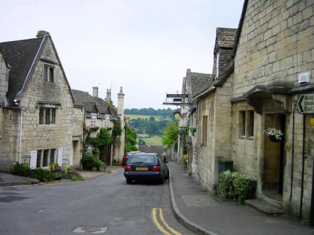
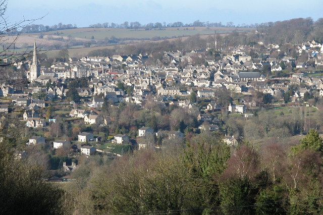
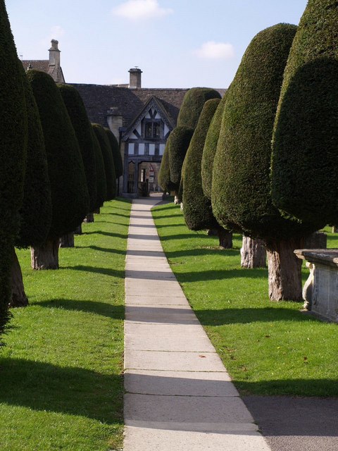
Paradise, Gloucestershire is a small village located in the Cotswolds, England. Situated approximately 10 miles southwest of the city of Gloucester, it is nestled amidst picturesque rolling hills and lush green countryside. With a population of around 500 residents, Paradise exudes a quaint and idyllic charm that attracts visitors seeking a peaceful retreat from the bustling city life.

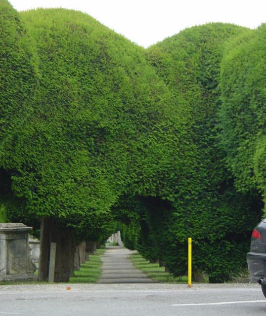
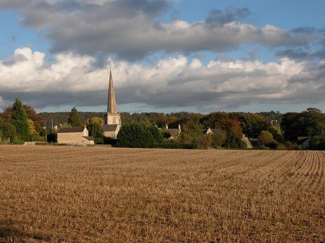
The village is renowned for its picturesque landscapes and stunning natural beauty. It is surrounded by an abundance of walking trails and footpaths, making it a haven for outdoor enthusiasts and nature lovers. The Cotswold Way, a famous long-distance walking trail, passes through Paradise, providing breathtaking views of the surrounding countryside.

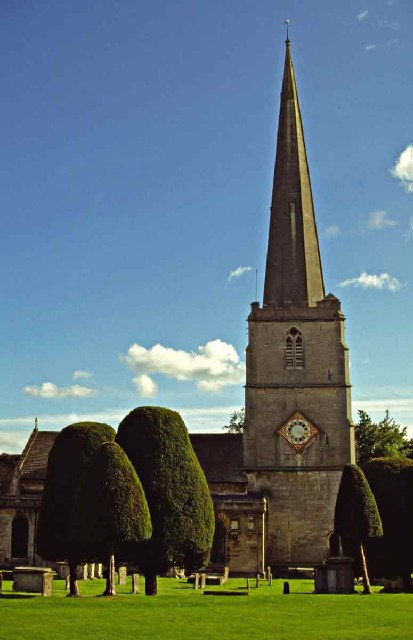
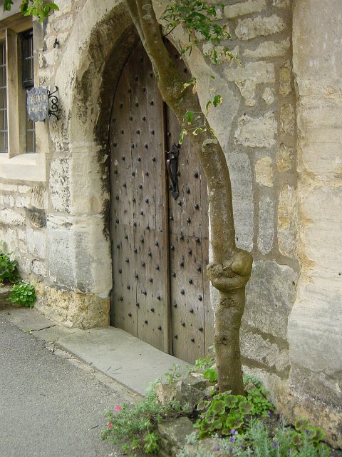
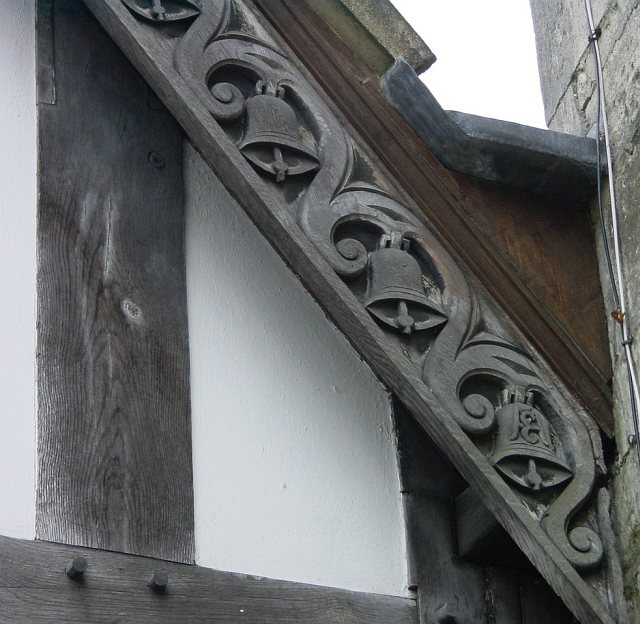
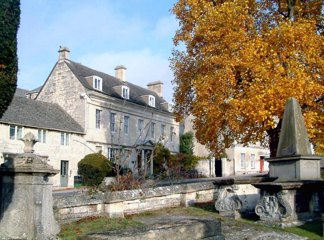
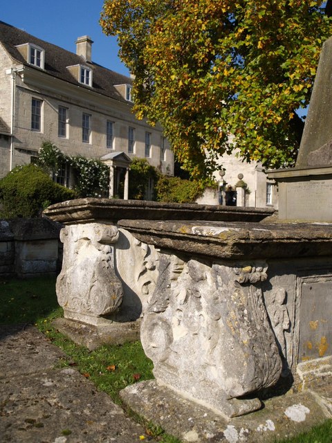
Paradise is characterized by its traditional Cotswold stone cottages and historic buildings, which add to its timeless appeal. The village's centerpiece is the 12th-century St. Mary's Church, a well-preserved medieval structure that stands as a testament to the area's rich history.

Despite its small size, Paradise boasts a close-knit community spirit. The village hosts various local events and fairs throughout the year, which bring residents together and foster a sense of belonging. The Paradise Inn, a charming pub located in the heart of the village, serves as a popular gathering spot for locals and visitors alike, offering a warm welcome and a taste of traditional British hospitality.

Overall, Paradise, Gloucestershire offers a serene and enchanting escape, where visitors can immerse themselves in the beauty of the Cotswolds and experience the tranquility of rural England.

If you have any feedback on the listing, please let us know in the comments section below.
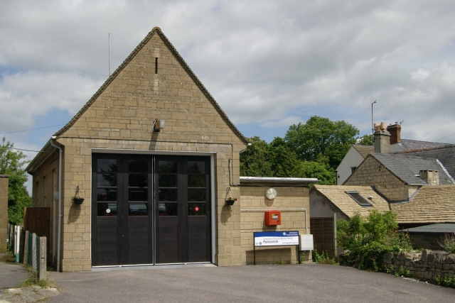
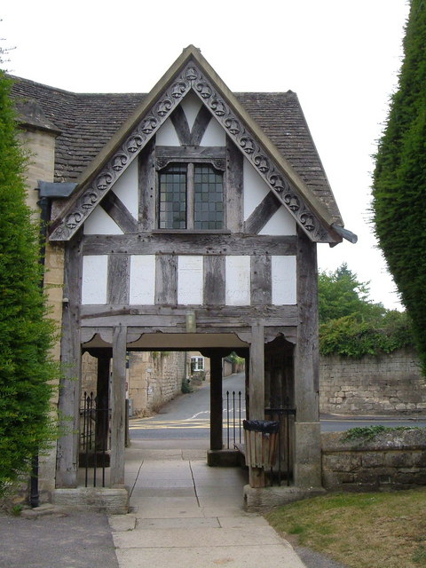
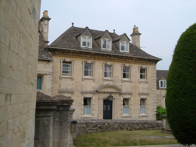
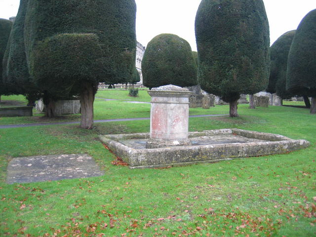
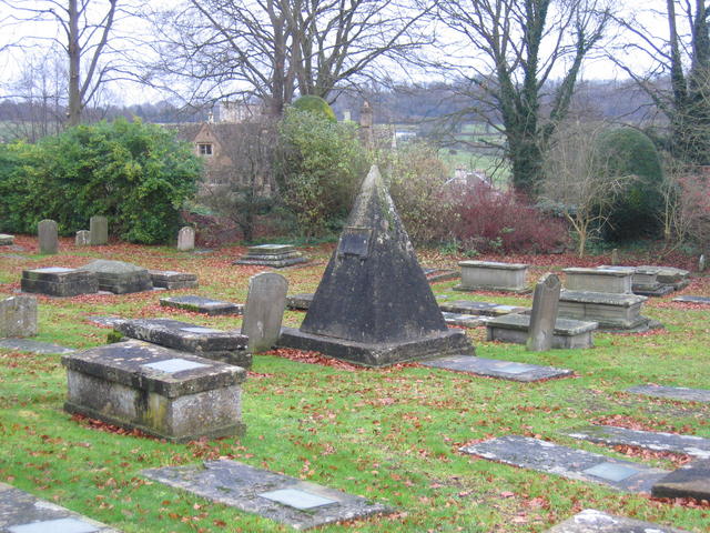
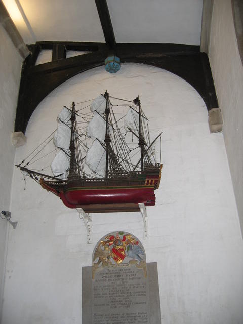
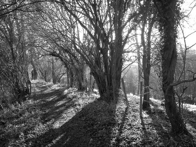
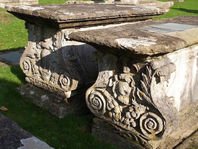
Paradise Images

Images are sourced within 2km of 51.799651/-2.190125 or Grid Reference SO8611. Thanks to Geograph Open Source API. All images are credited.

Tibbiwell Lane, Painswick This road runs east and then SE down the hill to Brookhouse Mill.
Tibbiwell Lane, Painswick
This road runs east and then SE down the hill to Brookhouse Mill.
Painswick churchyard The avenues of yew trees form tunnels around the church.
Painswick churchyard
The avenues of yew trees form tunnels around the church.
St Mary's Church, Painswick, Gloucestershire St Mary's Church Painswick is renowned for the magnificent yew trees in the churchyard.  There is also an annual "Clypping ceremony". This ancient religious ceremony has nothing to do with the trees but is the embracing of the church by children of the parish carrying nosegays and singing hymns.  The event is held in September.
St Mary's Church, Painswick, Gloucestershire
St Mary's Church Painswick is renowned for the magnificent yew trees in the churchyard. There is also an annual "Clypping ceremony". This ancient religious ceremony has nothing to do with the trees but is the embracing of the church by children of the parish carrying nosegays and singing hymns. The event is held in September.
Painswick viewed from across the valley This is a view of Painswick from the south-east, the picture is from the Slad Road near The Frith.
Painswick viewed from across the valley
This is a view of Painswick from the south-east, the picture is from the Slad Road near The Frith.
Painswick Fire Station Painswick Fire Station, Pullens Road, Painswick, Gloucestershire is station number R06 of the Gloucestershire Fire & Rescue Service.
Painswick Fire Station
Painswick Fire Station, Pullens Road, Painswick, Gloucestershire is station number R06 of the Gloucestershire Fire & Rescue Service.
Lychgate, Painswick Built in 1901 from belfry timbers, the bargeboards decorated with carved bells. Seen from the churchyard looking out onto the junction of Edge Road and New Street.
Lychgate, Painswick
Built in 1901 from belfry timbers, the bargeboards decorated with carved bells. Seen from the churchyard looking out onto the junction of Edge Road and New Street.
Vicarage, Painswick The facade of this early C18 clothier's house faces across St Mary's Street onto the churchyard with its yews.
Vicarage, Painswick
The facade of this early C18 clothier's house faces across St Mary's Street onto the churchyard with its yews.
Tea Caddy tomb, Painswick As well as being famous for its 99 yew trees, Painswick churchyard has a notable collection of table and "tea caddy" tombs created by local craftsmen, in particular one John Bryan who is also buried in the churchyard under an unusual stone pyramid.  See <a href="https://www.geograph.org.uk/photo/288837">SO8609 : John Bryan's tomb</a>.
Tea Caddy tomb, Painswick
As well as being famous for its 99 yew trees, Painswick churchyard has a notable collection of table and "tea caddy" tombs created by local craftsmen, in particular one John Bryan who is also buried in the churchyard under an unusual stone pyramid. See SO8609 : John Bryan's tomb.
John Bryan's tomb John Bryan was a local stone mason who was probably responsible for many of the ornate and unusual table and <a href="https://www.geograph.org.uk/photo/288826">SO8609 : Tea Caddy tomb, Painswick</a> and tomb stones in Painswick churchyard. He is buried under this plain stone pyramid.
John Bryan's tomb
John Bryan was a local stone mason who was probably responsible for many of the ornate and unusual table and SO8609 : Tea Caddy tomb, Painswick and tomb stones in Painswick churchyard. He is buried under this plain stone pyramid.
Bonaventure, St Mary's Church, Painswick This lovely model of Drake's flagship at the Armada was given to the church in 1971.  It replaces one destroyed when the church was damaged during the Civil War and symbolises the Christian beliefs of sailing across the seas of life.
Bonaventure, St Mary's Church, Painswick
This lovely model of Drake's flagship at the Armada was given to the church in 1971. It replaces one destroyed when the church was damaged during the Civil War and symbolises the Christian beliefs of sailing across the seas of life.
Mature hazel coppice alongside footpath
Painswick from Hambutts Field
Doorway in Painswick
Lychgate, Painswick Detail of the carving.
Lychgate, Painswick
Detail of the carving.
Painswick
Painswick
Table tombs and Hazelbury House, Painswick Two of Painswick's famous chest tombs - some 230 in all. Unfortunately, many of the inscriptions have become illegible and the decorations have badly worn. A conservation project is under way <span class="nowrap"><a title="http://www.painswicktombs.org.uk/" rel="nofollow ugc noopener" href="http://www.painswicktombs.org.uk/">Link</a><img style="margin-left:2px;" alt="External link" title="External link - shift click to open in new window" src="https://s1.geograph.org.uk/img/external.png" width="10" height="10"/></span> . These two, close to the lych gate, both have "lyre" ends. The one on the right, to William Webbe, is dated 1679. 

The impressive seven-bayed Hazelbury House, in the background, on New Street, is early C18.
Table tombs and Hazelbury House, Painswick
Two of Painswick's famous chest tombs - some 230 in all. Unfortunately, many of the inscriptions have become illegible and the decorations have badly worn. A conservation project is under way LinkExternal link . These two, close to the lych gate, both have "lyre" ends. The one on the right, to William Webbe, is dated 1679. The impressive seven-bayed Hazelbury House, in the background, on New Street, is early C18.
Tombs, Painswick A pair of C18 tombs with fine scrolls and cherubs at their western ends. See <a href="https://www.geograph.org.uk/photo/592589">SO8609 : Table tombs and Hazelbury House, Painswick</a>.
Tombs, Painswick
A pair of C18 tombs with fine scrolls and cherubs at their western ends. See SO8609 : Table tombs and Hazelbury House, Painswick.
Yews, Painswick churchyard The avenue of yews leading from St Mary's church to the lych gate. The yews were planted in 1790 - apparently there are 103 in the churchyard.
Yews, Painswick churchyard
The avenue of yews leading from St Mary's church to the lych gate. The yews were planted in 1790 - apparently there are 103 in the churchyard.
Show me another place!

Paradise is located at Grid Ref: SO8611 (Lat: 51.799651, Lng: -2.190125)

Administrative County: Gloucestershire

District: Stroud

Police Authority: Gloucestershire

What 3 Words

///verge.scores.quest. Near Painswick, Gloucestershire

Nearby Locations

Paradise

Related Wikis

Kimsbury hill fort

Kimsbury hill fort, also known as Castle Godwyn, Kimsbury Camp, Painswick Beacon or Painswick hill fort is an Iron Age hill fort on Painswick Beacon near...

Painswick House

Painswick House is a grade I listed house in Painswick, Gloucestershire, England. It is surrounded by a Grade II* listed rococo garden. == History == The...

Holcombe House

Holcombe House is a large Grade II* listed country house located near Painswick, Gloucestershire. The house is a fine example of an Arts and Crafts Cotswolds...

Painswick Lodge

Painswick Lodge is a grade I listed house in Painswick, Gloucestershire, England. The rubble stone building, which has been extensively reworked and remodelled...

Nearby Amenities

Located within 500m of 51.799651,-2.190125
Note: Added a turn restriction here - it's not a legal restriction, but angle of the junction makes it an impracticable manoeuvre
Lat/Long: 51.8026828/-2.1918127
Paradise
Is In: Gloucestershire, England, UK
Place: hamlet
Lat/Long: 51.8036824/-2.1882691
Note: Added a turn restriction here - it's not a legal restriction, but angle of the junction makes it an impracticable manoeuvre
Lat/Long: 51.7998584/-2.1973908
Bus Stop
Cemetery Turn
Naptan AtcoCode: 1600GLS198
Naptan Bearing: NW
Naptan CommonName: Cemetery Turn
Naptan Indicator: Opp
Naptan NaptanCode: glodjdwj
Naptan PlusbusZoneRef: STRUD
Naptan Street: Gloucester Rd
Naptan Verified: no
Source: naptan_import
Lat/Long: 51.7968377/-2.1957775
Bus Stop
Adam and Eve House
Naptan AtcoCode: 1600GLS809
Naptan Bearing: S
Naptan CommonName: Adam and Eve House
Naptan NaptanCode: glodjgtp
Naptan PlusbusZoneRef: STRUD
Naptan Street: A46
Naptan Verified: no
Source: naptan_import
Lat/Long: 51.8017441/-2.1920426
Bus Stop
Adam and Eve House
Naptan AtcoCode: 1600GLS810
Naptan Bearing: N
Naptan CommonName: Adam and Eve House
Naptan Indicator: Opp
Naptan NaptanCode: glodjgtm
Naptan PlusbusZoneRef: STRUD
Naptan Street: A46
Naptan Verified: no
Source: naptan_import
Lat/Long: 51.8019867/-2.1921161
Bus Stop
Golf Course Road
Naptan AtcoCode: 1600GLS811
Naptan Bearing: SE
Naptan CommonName: Golf Course Road
Naptan Indicator: Opp
Naptan NaptanCode: glodjmaj
Naptan PlusbusZoneRef: STRUD
Naptan Street: A46
Naptan Verified: no
Source: naptan_import
Lat/Long: 51.7992374/-2.1908863
Bus Stop
Golf Course Road
Naptan AtcoCode: 1600GLS812
Naptan Bearing: NW
Naptan CommonName: Golf Course Road
Naptan NaptanCode: glodjmad
Naptan PlusbusZoneRef: STRUD
Naptan Street: A46
Naptan Verified: no
Source: naptan_import
Lat/Long: 51.7992729/-2.1911475
Bus Stop
Clattergrove
Naptan AtcoCode: 1600GLS813
Naptan Bearing: S
Naptan CommonName: Clattergrove
Naptan Indicator: Opp
Naptan NaptanCode: glodjmgj
Naptan PlusbusZoneRef: STRUD
Naptan Street: Cheltenham Road
Naptan Verified: no
Source: naptan_import
Lat/Long: 51.7959962/-2.1880305
Bus Stop
Clattergrove
Naptan AtcoCode: 1600GLS814
Naptan Bearing: N
Naptan CommonName: Clattergrove
Naptan NaptanCode: glodjmga
Naptan PlusbusZoneRef: STRUD
Naptan Street: Cheltenham Road
Naptan Verified: no
Source: naptan_import
Lat/Long: 51.7959689/-2.1881754
Barrier: stile
Foot: yes
Lat/Long: 51.8015037/-2.18615
Crossing
Lat/Long: 51.7959981/-2.1905865
Give Way
Direction: forward
Lat/Long: 51.8026492/-2.1917845
Give Way
Direction: backward
Lat/Long: 51.7961959/-2.1881186
Give Way
Direction: forward
Lat/Long: 51.7962162/-2.1879872
Give Way
Direction: backward
Lat/Long: 51.7958901/-2.1912032
Give Way
Direction: forward
Lat/Long: 51.7959424/-2.1911658
The data included in this document is from www.openstreetmap.org. The data is made available under ODbL.

Have you been to Paradise?

Leave your review of Paradise below (or comments, questions and feedback).