Paradise
Settlement in Staffordshire
England
Paradise
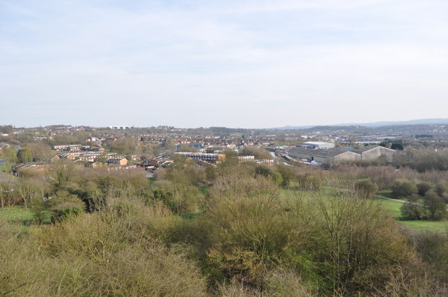
Paradise is a small village located in the county of Staffordshire, England. Situated in the West Midlands region, it is nestled in the picturesque countryside and offers a tranquil and idyllic setting for its residents. With a population of around 500 people, Paradise exudes a close-knit community vibe.
The village is renowned for its natural beauty, with rolling hills, lush green landscapes, and scenic views attracting visitors and nature lovers alike. The surrounding area boasts a diverse range of flora and fauna, making it a haven for wildlife enthusiasts and hikers. Paradise is also home to several parks and green spaces, providing ample opportunities for outdoor recreational activities.
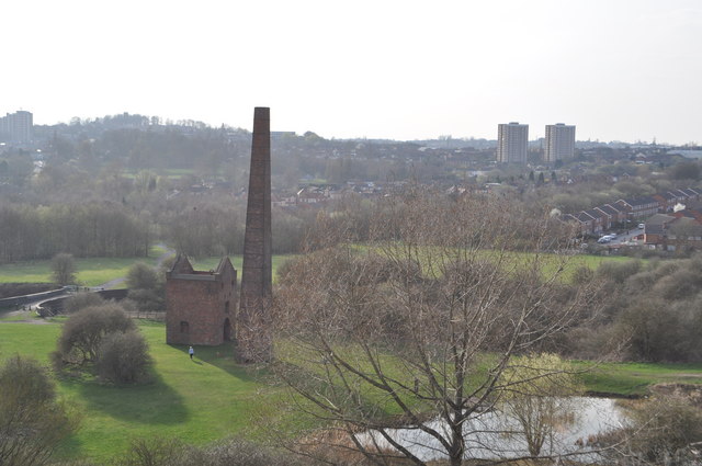
Despite its small size, Paradise has a rich history that dates back centuries. The village features several historic buildings, including St. John the Baptist Church, which dates back to the 13th century and is a prominent architectural landmark in the area. Additionally, Paradise is steeped in local folklore and legends, adding to its charm and intrigue.
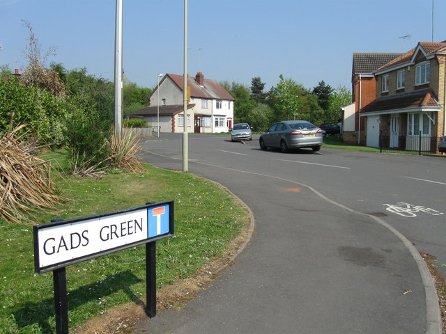
While primarily a residential area, Paradise is well-connected to neighboring towns and cities. The village benefits from good transportation links, making it accessible for commuters and visitors. Local amenities such as schools, shops, and community centers cater to the needs of its residents, ensuring a high quality of life.
In summary, Paradise, Staffordshire, offers a serene and picturesque setting, abundant in natural beauty and history. With its close-knit community and convenient location, it provides a peaceful retreat for those seeking a slower pace of life.
If you have any feedback on the listing, please let us know in the comments section below.
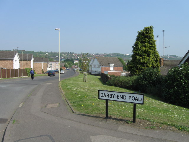
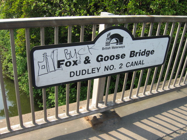
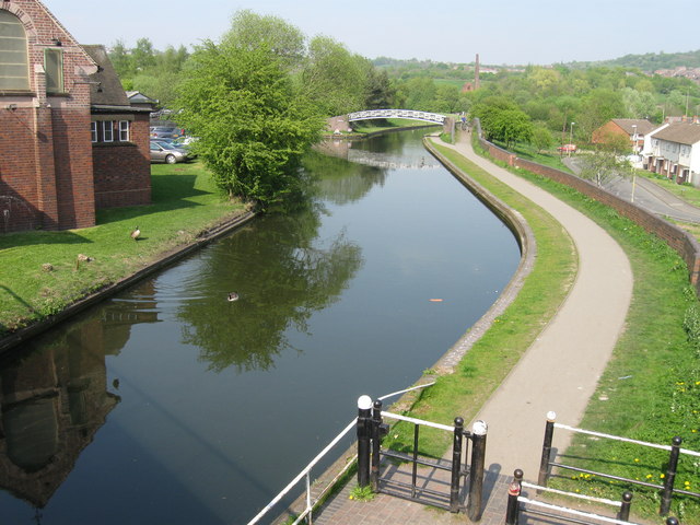
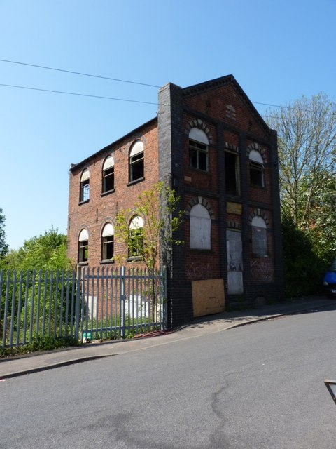
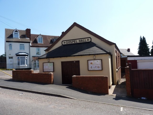
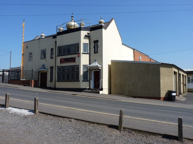
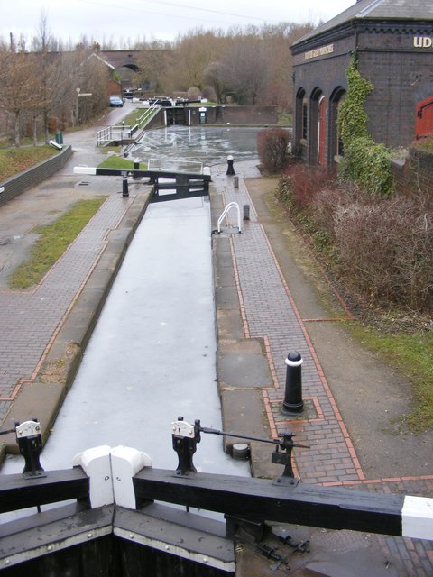
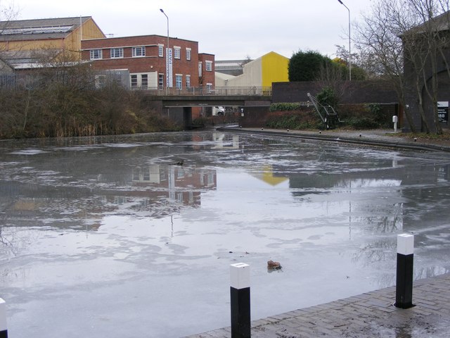
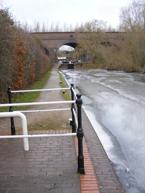
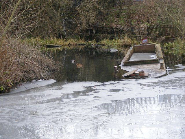
Paradise Images
Images are sourced within 2km of 52.503343/-2.079522 or Grid Reference SO9489. Thanks to Geograph Open Source API. All images are credited.
Paradise is located at Grid Ref: SO9489 (Lat: 52.503343, Lng: -2.079522)
Unitary Authority: Dudley
Police Authority: West Midlands
What 3 Words
///worth.occupy.usage. Near Dudley, West Midlands
Nearby Locations
Related Wikis

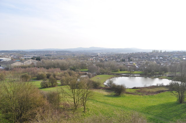
Buffery Park
Buffery Park is a park of the Metropolitan Borough of Dudley, in the Paradise area of Dudley, West Midlands, England. It has a range of leisure facilities...

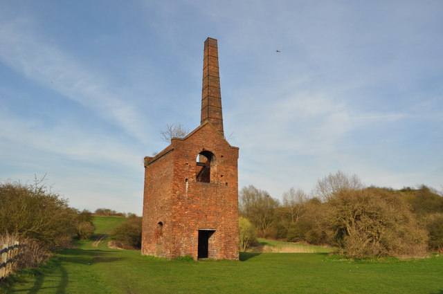
Blowers Green railway station
Blowers Green railway station was a station on the Oxford-Worcester-Wolverhampton Line in Dudley, West Midlands, England. == History == It was opened in...

Netherton railway station (Dudley)
Netherton railway station served the town of Netherton, Dudley, England, from 1852 to 1878 on the Oxford, Worcester and Wolverhampton Railway. == History... ==

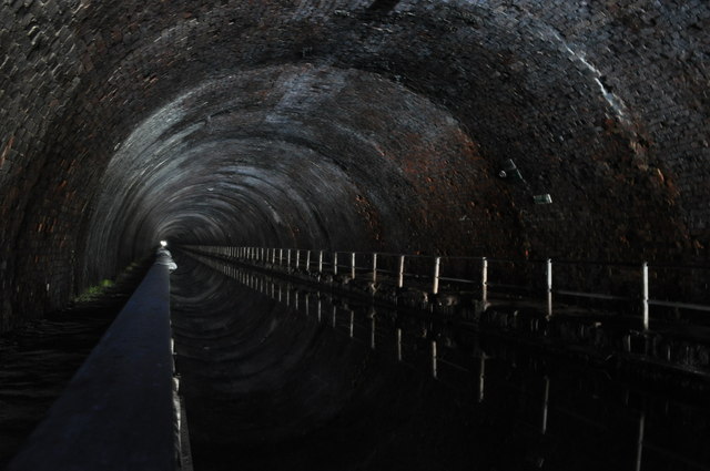
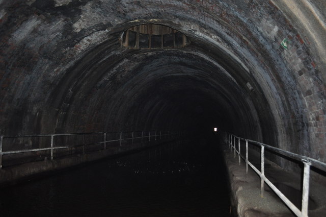
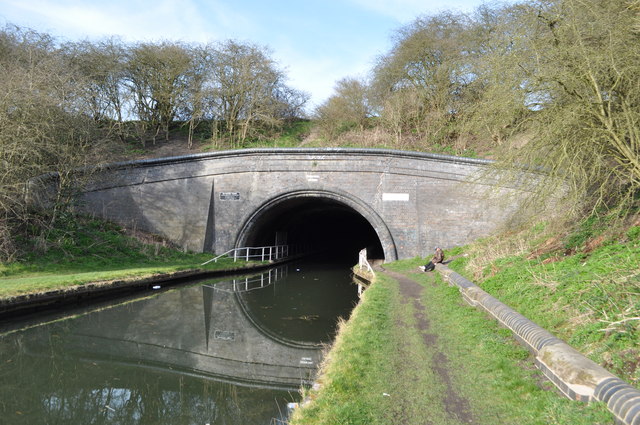
Dudley Railway Tunnel
Dudley Railway Tunnel is a railway tunnel located near to the former Dudley railway station in Dudley, West Midlands, England. It was opened in 1850 to...
Nearby Amenities
Located within 500m of 52.503343,-2.079522Have you been to Paradise?
Leave your review of Paradise below (or comments, questions and feedback).