Delaval

Settlement in Northumberland

England

Delaval

Crossing the River Tyne at Blaydon Two more bridges further down the river - the nearer is the old Scotswood Railway Bridge while the farther one is Scotswood Road Bridge.
Crossing the River Tyne at Blaydon Credit: Eirian Evans

Delaval is a small village located in the county of Northumberland, in the northeast of England. Situated approximately 12 miles north of Newcastle upon Tyne, it lies on the North Sea coast and is part of the North Tyneside district.

The village is known for its rich history, with evidence of settlement dating back to Roman times. Delaval takes its name from the prominent Delaval family, who owned much of the land in the area during medieval times. The Delaval Hall, a grand country house built in the 18th century, is a notable landmark and a popular tourist attraction in the village.

Delaval is surrounded by picturesque countryside, making it an ideal location for outdoor enthusiasts and nature lovers. The nearby Seaton Delaval Beach offers stunning views of the coastline, while the surrounding fields and woodlands provide ample opportunities for walking, cycling, and exploring.

Despite its small size, Delaval has a strong sense of community and offers a range of amenities to its residents. These include a primary school, a village hall, and a local pub. The village is well-connected to nearby towns and cities by road and rail, with regular bus services and a train station in the neighboring village of Seaton Delaval.

Overall, Delaval is a charming village with a rich history, beautiful natural surroundings, and a close-knit community that offers a peaceful and idyllic place to live or visit.

If you have any feedback on the listing, please let us know in the comments section below.
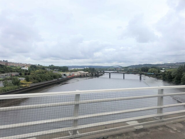
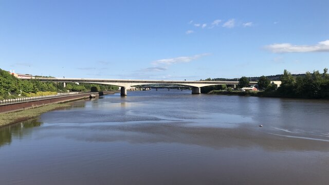
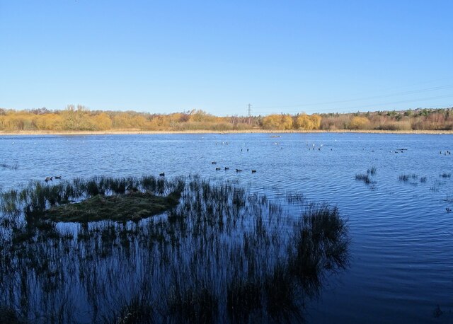
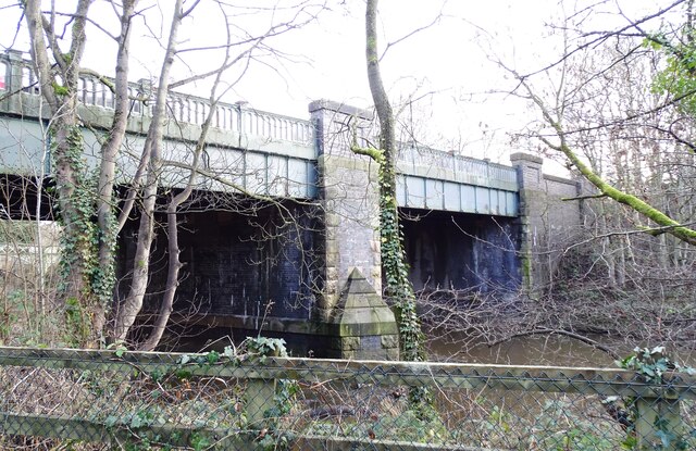
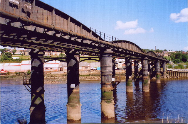
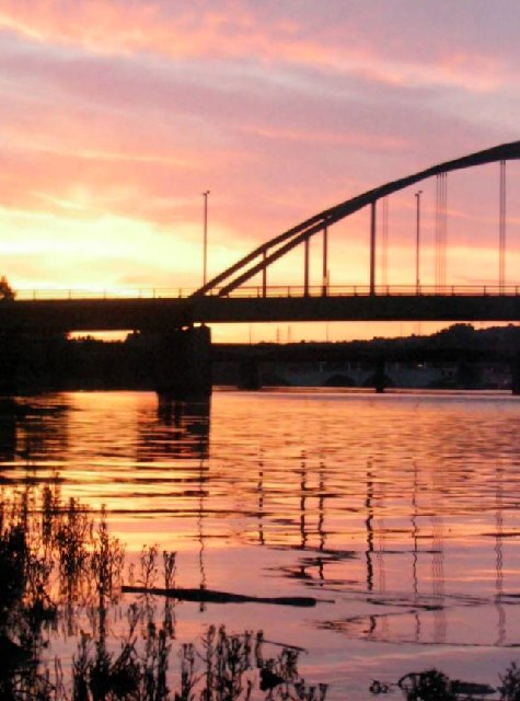
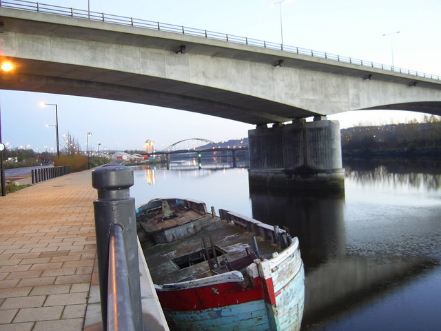
Delaval Images

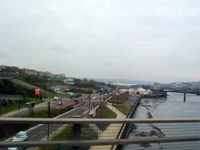
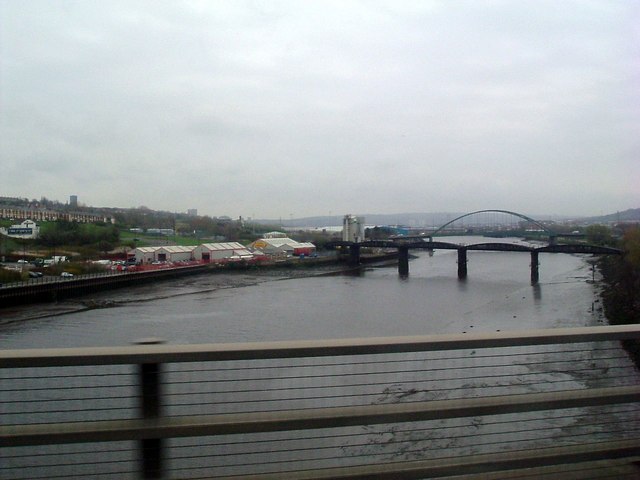
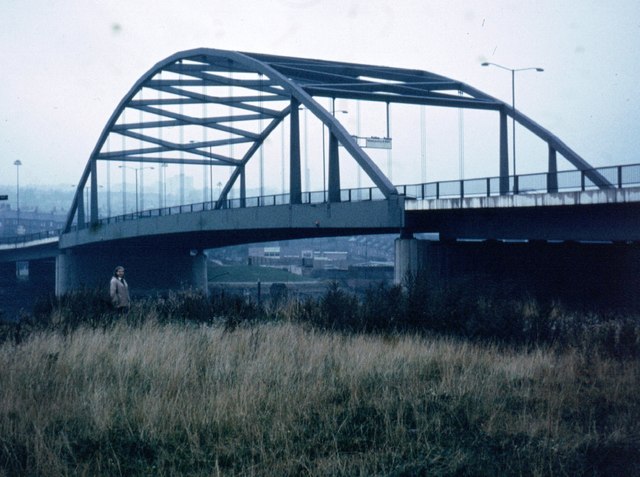
Images are sourced within 2km of 54.967955/-1.672724 or Grid Reference NZ2163. Thanks to Geograph Open Source API. All images are credited.

Crossing the River Tyne at Blaydon Two more bridges further down the river - the nearer is the old Scotswood Railway Bridge while the farther one is Scotswood Road Bridge.
Crossing the River Tyne at Blaydon
Two more bridges further down the river - the nearer is the old Scotswood Railway Bridge while the farther one is Scotswood Road Bridge.
Blaydon Bridge
Blaydon Bridge
National Cycle Network milepost at Scotswood This milepost stands on Hadrian's Cycleway in the shadow of Scotswood Bridge over the River Tyne. This milepost (of the so-called "Welsh" design) was repainted as part of the 2021 repainting program. It used to be green, see <a href="https://www.geograph.org.uk/photo/1650606">NZ1964 : Cycleway Marker</a>.
National Cycle Network milepost at Scotswood
This milepost stands on Hadrian's Cycleway in the shadow of Scotswood Bridge over the River Tyne. This milepost (of the so-called "Welsh" design) was repainted as part of the 2021 repainting program. It used to be green, see NZ1964 : Cycleway Marker.
Shibdon Pond full again The pond dried out almost completely in the hot summer of 2022, but now in January 2023 I was pleased to find it full of water again.  The problem is the sole inflow is a small stream which is fed from old flooded mine workings. Last summer the water level in the old workings dropped and the stream stopped running. There was then no rain to keep the water level up, and the pond almost completely dried out. Thankfully the stream is now running well again.
Shibdon Pond full again
The pond dried out almost completely in the hot summer of 2022, but now in January 2023 I was pleased to find it full of water again. The problem is the sole inflow is a small stream which is fed from old flooded mine workings. Last summer the water level in the old workings dropped and the stream stopped running. There was then no rain to keep the water level up, and the pond almost completely dried out. Thankfully the stream is now running well again.
Elite Emboidery Ltd., Scotswood Road, Bell's Close Former location of Wesleyan Methodist Centenary Chapel. This was recorded in 2015 ahead of demolition.
<span class="nowrap"><a title="https://sitelines.newcastle.gov.uk/SMR/14646" rel="nofollow ugc noopener" href="https://sitelines.newcastle.gov.uk/SMR/14646">Link</a><img style="margin-left:2px;" alt="External link" title="External link - shift click to open in new window" src="https://s1.geograph.org.uk/img/external.png" width="10" height="10"/></span>
Elite Emboidery Ltd., Scotswood Road, Bell's Close
Former location of Wesleyan Methodist Centenary Chapel. This was recorded in 2015 ahead of demolition. LinkExternal link
Lemington Point at low water
Swalwell Bridge This is alternatively known as the New Derwent Bridge, although it is now nearly a century old. It was built in 1927 to replace the old turnpike bridge over the Derwent, and now carries the B6317 to Blaydon and beyond.
Swalwell Bridge
This is alternatively known as the New Derwent Bridge, although it is now nearly a century old. It was built in 1927 to replace the old turnpike bridge over the Derwent, and now carries the B6317 to Blaydon and beyond.
Derwent Walk at Swalwell Bridge Swalwell Bridge was built in 1927 to carry the road over the River Derwent and the adjacent Derwent Valley Railway. This is now the Derwent Walk footpath.
Derwent Walk at Swalwell Bridge
Swalwell Bridge was built in 1927 to carry the road over the River Derwent and the adjacent Derwent Valley Railway. This is now the Derwent Walk footpath.
Scotswood railway bridge This rail bridge was built in 1871 and carried rail traffic from the long closed Newcastle/Scotswood line over the river.
Scotswood railway bridge
This rail bridge was built in 1871 and carried rail traffic from the long closed Newcastle/Scotswood line over the river.
Lemington Point This spit of land jutting into the river Tyne was formed when the river was diverted in 1876 by the cutting of a new straighter channel across Blaydon haugh. The original river course is in the foreground.
Lemington Point
This spit of land jutting into the river Tyne was formed when the river was diverted in 1876 by the cutting of a new straighter channel across Blaydon haugh. The original river course is in the foreground.
Sunset behind Scotswood bridge A sunset behind Scotswood bridge, the bridge sits next to Vickers/BAE systems factory.
Sunset behind Scotswood bridge
A sunset behind Scotswood bridge, the bridge sits next to Vickers/BAE systems factory.
Shibdon Pond Nature Reserve Shibdon Pond is an ideal site for bird watching with plenty of open water, marshland, grassland and scrub habitats.
Shibdon Pond Nature Reserve
Shibdon Pond is an ideal site for bird watching with plenty of open water, marshland, grassland and scrub habitats.
Blaydon Road Bridge The new Blaydon road bridge with Scotswood road and rail bridges in the background.
Blaydon Road Bridge
The new Blaydon road bridge with Scotswood road and rail bridges in the background.
Bridge The New Road Bridge Over Lemington Gut
Bridge
The New Road Bridge Over Lemington Gut
The A1 Trunk Road crossing the Tyne
River Tyne north bank View from A1 bridge
River Tyne north bank
View from A1 bridge
River Tyne downstream View from south end of the A1 bridge
River Tyne downstream
View from south end of the A1 bridge
Scotswood Bridge
Scotswood Bridge
Show me another place!

Delaval is located at Grid Ref: NZ2163 (Lat: 54.967955, Lng: -1.672724)

Unitary Authority: Newcastle upon Tyne

Police Authority: Northumbria

What 3 Words

///worry.pilots.shout. Near Benwell, Tyne & Wear

Related Wikis

Scotswood Works Halt railway station

Scotswood Works Halt railway station served the area of Scotswood, Newcastle-upon-Tyne, England from 1915 to 1944 on the Tyne Valley Line. == History... ==

Benwell Dene

Benwell Dene is a Victorian building in the suburb of Benwell, Newcastle Upon Tyne, England. It was designed by Alfred Waterhouse for Dr Thomas Hodgkin...

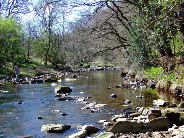
River Derwent, North East England

The River Derwent is a river which flows between the historic county boundaries of Durham and Northumberland in the north east of England. It broadens...

Benwell

Benwell is an area in the West End of Newcastle upon Tyne, England. == History == The place-name 'Benwell' is first attested in the Historia de Sancto...

Nearby Amenities

Located within 500m of 54.967955,-1.672724
Source: PGS
Lat/Long: 54.9635978/-1.6709664
Source: PGS
Lat/Long: 54.9638076/-1.6722238
Source: PGS
Lat/Long: 54.9639702/-1.6738116
Source: PGS
Lat/Long: 54.965433/-1.6782154
Source: PGS
Lat/Long: 54.9654229/-1.6772393
Source: PGS
Lat/Long: 54.9654425/-1.6763461
Created By: almien_coastlines
Source: PGS
Lat/Long: 54.9654438/-1.6756815
Source: PGS
Lat/Long: 54.9654035/-1.6745496
Source: PGS
Lat/Long: 54.9653248/-1.6736138
Source: PGS
Lat/Long: 54.9652688/-1.673023
Source: PGS
Lat/Long: 54.9651391/-1.6715082
Source: PGS
Lat/Long: 54.9649837/-1.6700706
Source: PGS
Lat/Long: 54.9647801/-1.6678826
Bus Stop
SCOTSWOOD ROAD-PARADISE-W/B
Local Ref: W
Naptan AtcoCode: 410000014667
Naptan Bearing: W
Naptan CommonName: SCOTSWOOD ROAD-PARADISE-W/B
Naptan Indicator: W
Naptan Landmark: OUTSIDE VICKERS PRESSINGS
Naptan NaptanCode: twrdamgd
Naptan PlusbusZoneRef: NWCSTLE
Naptan Street: SCOTSWOOD ROAD
Naptan Verified: no
Source: naptan_import;Bing
Lat/Long: 54.9657992/-1.6698282
Bus Stop
Whitehouse Enterprise Centre
Bus: yes
Departures Board: timetable
Local Ref: E
Naptan AtcoCode: 410000014668
Naptan Bearing: E
Naptan CommonName: WHITEHOUSE ENTERPRISE CENTRE-E/B
Naptan Indicator: E
Naptan Landmark: OPPOSITE VICKERS PRESSING AND MICHELL BEARINGS
Naptan NaptanCode: twrdamgj
Naptan PlusbusZoneRef: NWCSTLE
Naptan Street: SCOTSWOOD ROAD
Naptan Verified: no
Public Transport: platform
Shelter: yes
Source: naptan_import
Lat/Long: 54.9660313/-1.6697404
Bus Stop
WHITEHOUSE ENTERPRISE CENTRE-W/B
Local Ref: W
Naptan AtcoCode: 410000014669
Naptan Bearing: W
Naptan CommonName: WHITEHOUSE ENTERPRISE CENTRE-W/B
Naptan Indicator: W
Naptan Landmark: OUTSIDE VICKERS PRESSING AND MICHELL BEARINGS
Naptan NaptanCode: twrdamgm
Naptan PlusbusZoneRef: NWCSTLE
Naptan Street: SCOTSWOOD ROAD
Naptan Verified: no
Source: naptan_import
Lat/Long: 54.9660858/-1.674208
Bus Stop
Armstrong Road-Hodgkin Park Road
Bus: yes
Local Ref: E
Naptan AtcoCode: 410000014626
Naptan Bearing: E
Naptan Indicator: E-Bound
Naptan Landmark: Outside Hodgkin Park
Naptan NaptanCode: twrdajtm
Naptan PlusbusZoneRef: NWCSTLE
Naptan Street: Armstrong Road
Naptan Verified: no
Public Transport: platform
Source: naptan_import
Lat/Long: 54.9699666/-1.6703494
Bus Stop
Armstrong Road-Woodland Crescent
Bus: yes
Local Ref: W
Naptan AtcoCode: 410000014627
Naptan Bearing: W
Naptan Indicator: W-Bound
Naptan Landmark: Outside Woodland Terrace
Naptan NaptanCode: twrdajtp
Naptan PlusbusZoneRef: NWCSTLE
Naptan Street: Armstrong Road
Naptan Verified: no
Public Transport: platform
Source: naptan_import
Lat/Long: 54.9699106/-1.6706529
Bus Stop
Armstrong Road-Delaval Road
Bus: yes
Local Ref: E
Naptan AtcoCode: 410000014628
Naptan Bearing: E
Naptan Indicator: E-Bound
Naptan Landmark: Outside Delaval Road Primary School
Naptan NaptanCode: twrdajtw
Naptan PlusbusZoneRef: NWCSTLE
Naptan Street: Armstrong Road
Naptan Verified: no
Public Transport: platform
Source: naptan_import
Lat/Long: 54.9702843/-1.6748613
Bus Stop
Armstrong Road-Cranbrook Road
Bus: yes
Local Ref: W
Naptan AtcoCode: 410000014629
Naptan Bearing: W
Naptan Indicator: W-Bound
Naptan Landmark: Outside No.77 Armstrong Road
Naptan NaptanCode: twrdajwa
Naptan PlusbusZoneRef: NWCSTLE
Naptan Street: Armstrong Road
Naptan Verified: no
Public Transport: platform
Source: naptan_import
Lat/Long: 54.9703215/-1.6762876
Traffic Signals
Source: Bing
Traffic Signals: signal
Traffic Signals Direction: forward
Lat/Long: 54.966354/-1.6757384
Traffic Signals
Source: Bing
Traffic Signals: signal
Traffic Signals Direction: forward
Lat/Long: 54.9659423/-1.6680271
Traffic Signals
Source: Bing
Traffic Signals: signal
Traffic Signals Direction: forward
Lat/Long: 54.9657809/-1.6673408
Traffic Signals
Source: Bing
Traffic Signals: signal
Traffic Signals Direction: forward
Lat/Long: 54.9660657/-1.6733638
Barrier: cycle_barrier
Bicycle: yes
Cycle Barrier: single
Cycle Barrier Installation: fixed
Foot: yes
Source: survey
Lat/Long: 54.9659814/-1.6667752
Traffic Signals
Source: Bing
Traffic Signals: signal
Traffic Signals Direction: forward
Lat/Long: 54.9662492/-1.6739187
Traffic Signals
Source: Bing
Traffic Signals: signal
Traffic Signals Direction: forward
Lat/Long: 54.9665566/-1.6764254
Traffic Signals
Traffic Signals: signal
Traffic Signals Direction: forward
Lat/Long: 54.9656804/-1.6678895
ADM Pressings
Man Made: works
Lat/Long: 54.9654979/-1.668224
Michell Bearings
Man Made: works
Lat/Long: 54.9658126/-1.6725553
Entrance: yes
Lat/Long: 54.9700534/-1.6709738
Noexit: yes
Lat/Long: 54.9691516/-1.6685459
Bench
Backrest: yes
Lat/Long: 54.9693228/-1.6695804
Bench
Lat/Long: 54.9691755/-1.6683366
Bench
Lat/Long: 54.9691693/-1.668279
Bench
Lat/Long: 54.9692024/-1.6681771
Bench
Lat/Long: 54.9691932/-1.6679585
Playground: slide
Lat/Long: 54.9689698/-1.6684171
Crossing
Crossing: unmarked
Crossing Island: no
Crossing Markings: no
Tactile Paving: no
Lat/Long: 54.9663398/-1.6760898
Crossing
Crossing: unmarked
Crossing Island: no
Crossing Markings: no
Tactile Paving: yes
Lat/Long: 54.9660528/-1.6737536
Generator Method: photovoltaic
Generator Output Electricity: yes
Generator Source: solar
Generator Type: solar_photovoltaic_panel
Location: roof
Power: generator
Lat/Long: 54.9706843/-1.6689302
Generator Method: photovoltaic
Generator Output Electricity: yes
Generator Source: solar
Generator Type: solar_photovoltaic_panel
Location: roof
Power: generator
Lat/Long: 54.9706858/-1.6690026
Generator Method: photovoltaic
Generator Output Electricity: yes
Generator Source: solar
Generator Type: solar_photovoltaic_panel
Location: roof
Power: generator
Lat/Long: 54.9701582/-1.6682819
Generator Method: photovoltaic
Generator Output Electricity: yes
Generator Source: solar
Generator Type: solar_photovoltaic_panel
Location: roof
Power: generator
Lat/Long: 54.9701397/-1.6683785
Generator Method: photovoltaic
Generator Output Electricity: yes
Generator Source: solar
Generator Type: solar_photovoltaic_panel
Location: roof
Power: generator
Lat/Long: 54.9696767/-1.6735332
Generator Method: photovoltaic
Generator Output Electricity: yes
Generator Source: solar
Generator Type: solar_photovoltaic_panel
Location: roof
Power: generator
Lat/Long: 54.9697136/-1.6740536
Generator Method: photovoltaic
Generator Output Electricity: yes
Generator Source: solar
Generator Type: solar_photovoltaic_panel
Location: roof
Power: generator
Lat/Long: 54.9697136/-1.6741394
Barrier: kerb
Lat/Long: 54.9702481/-1.6740853
Playground: climbingframe
Lat/Long: 54.9688898/-1.6687582
Playground: seesaw
Lat/Long: 54.9689722/-1.6686818
Playground: swing
Lat/Long: 54.9690246/-1.6686617
Bicycle Parking
Bicycle Parking: stands
Capacity: 6
Lat/Long: 54.9688357/-1.6685311
Barrier: yes
Lat/Long: 54.9714151/-1.6712921
Scotswood Works
Historic Railway: halt
Railway: site
Wikidata: Q30594937
Wikipedia: en:Scotswood Works Halt railway station
Lat/Long: 54.9673826/-1.6779877
Barrier: block
Lat/Long: 54.9706459/-1.6783634
Barrier: block
Lat/Long: 54.9711889/-1.678039
Crossing
Crossing: traffic_signals
Lat/Long: 54.9701807/-1.6744062
Noexit: yes
Lat/Long: 54.967717/-1.675517
Noexit: yes
Lat/Long: 54.9680449/-1.6753359
Note: extent of electricity cable install/upgrade works in July 2017
Lat/Long: 54.9695113/-1.6657655
Traffic Signals
Traffic Signals: signal
Traffic Signals Direction: backward
Lat/Long: 54.9663199/-1.6760987
Traffic Signals
Traffic Signals: signal
Traffic Signals Direction: forward
Lat/Long: 54.9660302/-1.6737635
Traffic Signals
Traffic Signals: signal
Traffic Signals Direction: forward
Lat/Long: 54.965696/-1.667761
The data included in this document is from www.openstreetmap.org. The data is made available under ODbL.

Have you been to Delaval?

Leave your review of Delaval below (or comments, questions and feedback).