Painter's Green

Settlement in Hertfordshire East Hertfordshire

England

Painter's Green

Knebworth telephone exchange With a modern extension on the back.
Knebworth telephone exchange Credit: Robin Hall

Painter's Green is a picturesque village located in the county of Hertfordshire, England. Situated in the East Hertfordshire district, it is nestled within the beautiful countryside and enjoys a peaceful and idyllic setting. The village is surrounded by lush green fields, rolling hills, and meandering streams, creating a serene atmosphere that attracts both residents and visitors alike.

The origins of Painter's Green can be traced back to the medieval period, and the village still retains much of its historic charm. Traditional thatched cottages line the streets, giving the village a quintessential English countryside feel. The local church, St. Mary's, is a prominent landmark, dating back several centuries and boasting impressive architectural features.

Despite its rural location, Painter's Green benefits from good transport links. The nearby A10 road connects the village to the larger towns of Hertford and Ware, providing easy access to amenities and services. The village is also within reasonable distance of London, making it an attractive option for commuters seeking a quieter lifestyle.

Residents of Painter's Green enjoy a strong sense of community, with various social events and activities organized throughout the year. The village pub serves as a hub for locals to gather and socialize, fostering a friendly and welcoming atmosphere.

Surrounded by nature reserves and country parks, outdoor enthusiasts are spoilt for choice in Painter's Green. The area offers numerous walking and cycling routes, providing opportunities to explore the stunning countryside and enjoy the tranquility of the surroundings.

Overall, Painter's Green is a charming and picturesque village that offers a peaceful retreat from the hustle and bustle of city life. With its rich history, natural beauty, and strong community spirit, it is a truly delightful place to call home.

If you have any feedback on the listing, please let us know in the comments section below.

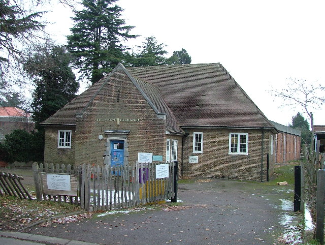
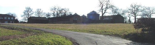
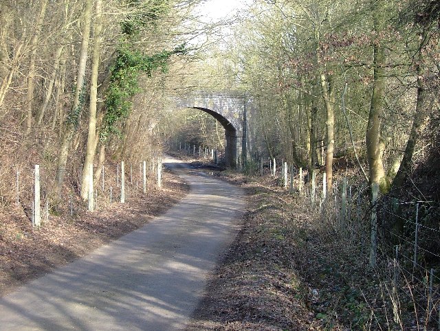
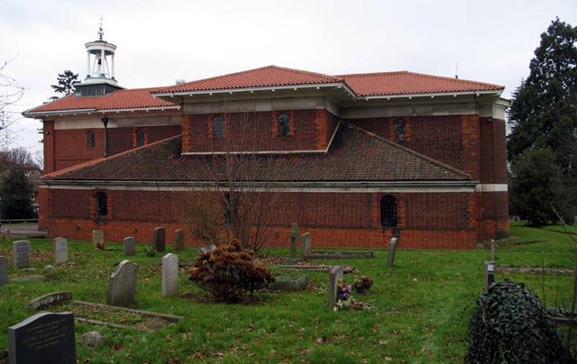
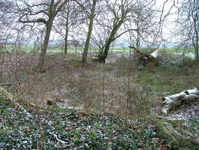
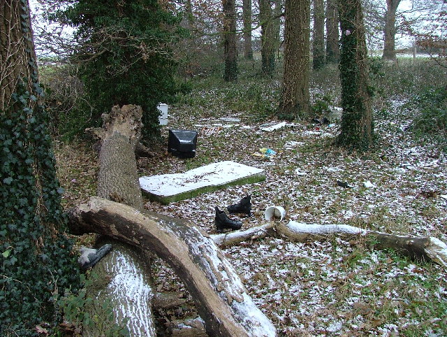
Painter's Green Images

Images are sourced within 2km of 51.854675/-0.158829 or Grid Reference TL2618. Thanks to Geograph Open Source API. All images are credited.

Knebworth telephone exchange With a modern extension on the back.
Knebworth telephone exchange
With a modern extension on the back.
Hazel Farm Photographed into the sun I'm afraid.
Hazel Farm
Photographed into the sun I'm afraid.
Raffin Lane passes under the Hertford loop of the Stevenage - London railway. Hale's Wood on the left.
Raffin Lane passes under the Hertford loop of the Stevenage - London railway.
Hale's Wood on the left.
St Martin, Knebworth, Herts
St Martin, Knebworth, Herts - Chapel
St Martin, Knebworth, Herts - East end
St Martin, Knebworth, Herts
St Martin, Knebworth, Herts - Font
St Martin, Knebworth, Herts
St Martin, Knebworth, Herts - East end
Bragbury End: Bragbury Lane railway bridge This fine skewed bridge dates from the very end of the main railway building era and was built by the Great Northern Railway on their Enfield and Stevenage Loop Line. It is present on the Ordnance Survey map of 1923 but not on the edition of 1899, which gives some clue as to when the railway was built.
Bragbury End: Bragbury Lane railway bridge
This fine skewed bridge dates from the very end of the main railway building era and was built by the Great Northern Railway on their Enfield and Stevenage Loop Line. It is present on the Ordnance Survey map of 1923 but not on the edition of 1899, which gives some clue as to when the railway was built.
Knebworth Primary & Nursery School Take away the flat-roofed extensions at the front and the remaining three gable-ended buildings represent the basic fabric of the school as it was opened in 1912. The central section has an attractive bell tower. The school was built primarily to serve the large increase in population in "new" Knebworth following the opening of the railway station built to serve "old" Knebworth in 1884.

The photo was taken at the end of a wet November Sunday afternoon that was just about to get an awful lot wetter... 

The School's website is here <span class="nowrap"><a title="http://www.knebworth.herts.sch.uk/" rel="nofollow ugc noopener" href="http://www.knebworth.herts.sch.uk/">Link</a><img style="margin-left:2px;" alt="External link" title="External link - shift click to open in new window" src="https://s1.geograph.org.uk/img/external.png" width="10" height="10"/></span>
Knebworth Primary & Nursery School
Take away the flat-roofed extensions at the front and the remaining three gable-ended buildings represent the basic fabric of the school as it was opened in 1912. The central section has an attractive bell tower. The school was built primarily to serve the large increase in population in "new" Knebworth following the opening of the railway station built to serve "old" Knebworth in 1884. The photo was taken at the end of a wet November Sunday afternoon that was just about to get an awful lot wetter... The School's website is here LinkExternal link
Knebworth: St Martin's Church St Martin's was one of the very few religious buildings designed by the eminent architect, Sir Edwin Landseer Lutyens (1869-1944). Construction commenced in 1914 and the church was consecrated in the following year. Lutyens insisted that only the best materials were to be used and this is reflected in the quality of the brickwork and the pantiled roof. The church hall just visible to the right is a modern development built in the style of the church. Lutyens' connections with Knebworth came from his marriage to a daughter of the local Lytton family in 1897.
Knebworth: St Martin's Church
St Martin's was one of the very few religious buildings designed by the eminent architect, Sir Edwin Landseer Lutyens (1869-1944). Construction commenced in 1914 and the church was consecrated in the following year. Lutyens insisted that only the best materials were to be used and this is reflected in the quality of the brickwork and the pantiled roof. The church hall just visible to the right is a modern development built in the style of the church. Lutyens' connections with Knebworth came from his marriage to a daughter of the local Lytton family in 1897.
Datchworth church
Datchworth church
Baines's Spring Snow sprinkled and dry.
Baines's Spring
Snow sprinkled and dry.
Discarded fridge, TV, mattress, roller boots and other assorted rubbish at Baines's Spring I'm sure that none of this was at all necessary.
Discarded fridge, TV, mattress, roller boots and other assorted rubbish at Baines's Spring
I'm sure that none of this was at all necessary.
Show me another place!

Painter's Green is located at Grid Ref: TL2618 (Lat: 51.854675, Lng: -0.158829)

Administrative County: Hertfordshire

District: East Hertfordshire

Police Authority: Hertfordshire

What 3 Words

///faster.beats.splice. Near Datchworth, Hertfordshire

Related Wikis

Datchworth

Datchworth is a village and civil parish between the towns of Hertford, Stevenage and Welwyn Garden City in the county of Hertfordshire, England. Sited...

The Tilbury, Datchworth

The Tilbury is a public house and restaurant in Datchworth, Hertfordshire, England. It was formerly known as The Inn on the Green and The Three Horseshoes...

Hopper's Hall

Hopper's Hall is a grade II listed house in Watton Road, Datchworth, Hertfordshire. It dates from around 1640 with minor additions and alterations since...

Woolmer Green

Woolmer Green is a small village and civil parish in Hertfordshire, England. The 2011 census figure for the population (from the Office for National Statistics...

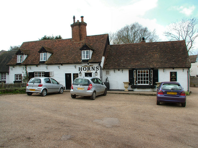
The Horns, Bull's Green

The Horns is a public house in Datchworth, Hertfordshire, England. It is situated on Bramfield Road in Bull's Green, a hamlet in the parish of Datchworth...

Bragbury End

Bragbury End is a hamlet in Hertfordshire, England, and the location of Stevenage F.C.'s training ground.

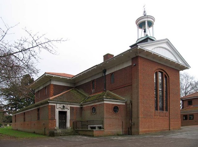
St Martin's Church, Knebworth

St Martin's Church is an active Anglican church in Knebworth, Hertfordshire, England. The building, which is designated grade II*, was designed by Edwin...

A602 road

The A602 is a road linking Hitchin in Hertfordshire, England, with A10 at Ware in Hertfordshire, via Stevenage. The course of the road has changed significantly...

Nearby Amenities

Located within 500m of 51.854675,-0.158829
Datchworth
Place: village
Lat/Long: 51.8564845/-0.1582465
Painter's Green
Place: hamlet
Lat/Long: 51.8548034/-0.1567775
Bus Stop
Nutcroft
Bus: yes
Naptan AtcoCode: 210021300340
Naptan Bearing: N
Naptan CommonName: Nutcroft
Naptan Indicator: N-bound
Naptan Landmark: Unknown
Naptan NaptanCode: hrtdwdpm
Naptan PlusbusZoneRef: WLWYNGC
Naptan ShortCommonName: NA
Naptan Street: Nutcroft
Naptan Verified: no
Public Transport: platform
Source: naptan_import
Lat/Long: 51.851671/-0.1576634
Bus Stop
Bury Lane
Naptan AtcoCode: 210021300360
Naptan Bearing: SW
Naptan CommonName: Bury Lane
Naptan Crossing: Bury Lane
Naptan Indicator: W-bound
Naptan Landmark: Bury Lane
Naptan NaptanCode: hrtdwdpt
Naptan PlusbusZoneRef: WLWYNGC
Naptan ShortCommonName: NA
Naptan Street: Brookbridge Lane
Naptan Verified: no
Source: naptan_import
Lat/Long: 51.8536347/-0.1578737
Hawkins Hall Lane
Naptan AtcoCode: 210021300365
Naptan Bearing: NW
Naptan BusStopType: CUS
Naptan CommonName: Hawkins Hall Lane
Naptan Crossing: Nutcroft
Naptan Indicator: NW-bound
Naptan Landmark: Nutcroft
Naptan NaptanCode: hrtdwdpw
Naptan PlusbusZoneRef: WLWYNGC
Naptan ShortCommonName: NA
Naptan Street: Hawkins Hall Lane
Naptan Verified: no
Source: naptan_import
Lat/Long: 51.8533829/-0.156156
Bus Stop
Great Lawne
Bus: yes
Naptan AtcoCode: 210021300380
Naptan Bearing: SE
Naptan CommonName: Great Lawne
Naptan Crossing: Great Lawne
Naptan Indicator: adj
Naptan Landmark: Great Lawne
Naptan NaptanCode: hrtdwdta
Naptan PlusbusZoneRef: WLWYNGC
Naptan ShortCommonName: NA
Naptan Street: Brookbridge Lane
Naptan Verified: no
Public Transport: platform
Source: naptan_import
Lat/Long: 51.850508/-0.159192
Post Box
Collection Times: Mo-Fr 16:45; Sa 08:30
Post Box Type: lamp
Ref: SG3 243
Source: stop-motion GPS
Lat/Long: 51.853981/-0.156544
Post Box
Collection Times: Mo-Fr 09:00; Sa 07:00
Post Box Mounting: brick_pillar
Post Box Type: wall
Ref: SG3 111
Royal Cypher: EIIR
Royal Cypher Wikidata: Q33102113
Source: stop-motion GPS
Lat/Long: 51.857403/-0.16321
Bench
Backrest: yes
Check Date: 2021-03-07
Colour: brown
Material: wood
Seats: 3
Lat/Long: 51.8570635/-0.162864
Bench
Backrest: yes
Check Date: 2021-03-07
Material: wood
Seats: 3
Lat/Long: 51.8571693/-0.1605855
Drinking Water
Access: yes
Man Made: water_tap
Lat/Long: 51.857666/-0.1604685
Grit Bin
Lat/Long: 51.857343/-0.1633036
The data included in this document is from www.openstreetmap.org. The data is made available under ODbL.

Have you been to Painter's Green?

Leave your review of Painter's Green below (or comments, questions and feedback).