Datchworth
Settlement in Hertfordshire East Hertfordshire
England
Datchworth

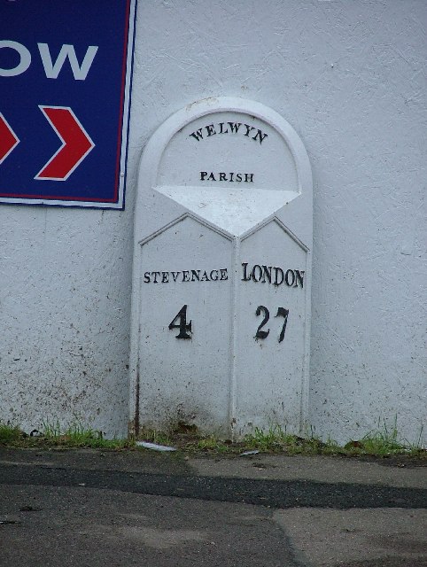
Datchworth is a picturesque village located in Hertfordshire, England. Situated approximately 35 miles north of London, it lies between the towns of Stevenage and Welwyn Garden City. With a population of around 1,000 residents, Datchworth exudes a charming rural atmosphere.
The village is renowned for its stunning architecture, featuring a mix of traditional thatched cottages and more modern houses. The centerpiece of Datchworth is the All Saints' Church, a beautiful 14th-century building that boasts a striking spire. The church serves as a focal point for the community, hosting regular religious services and other events.
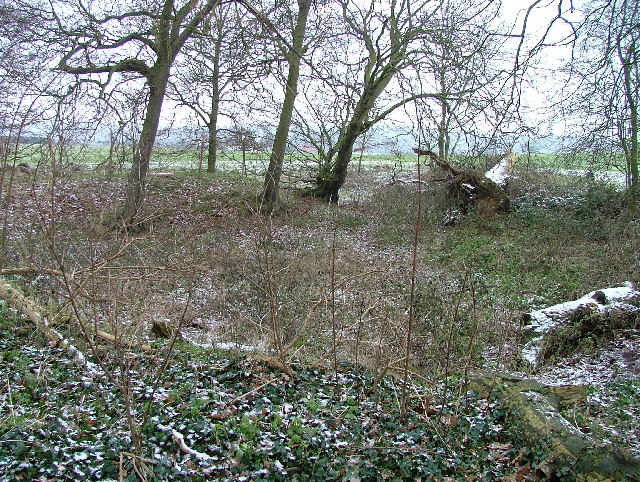
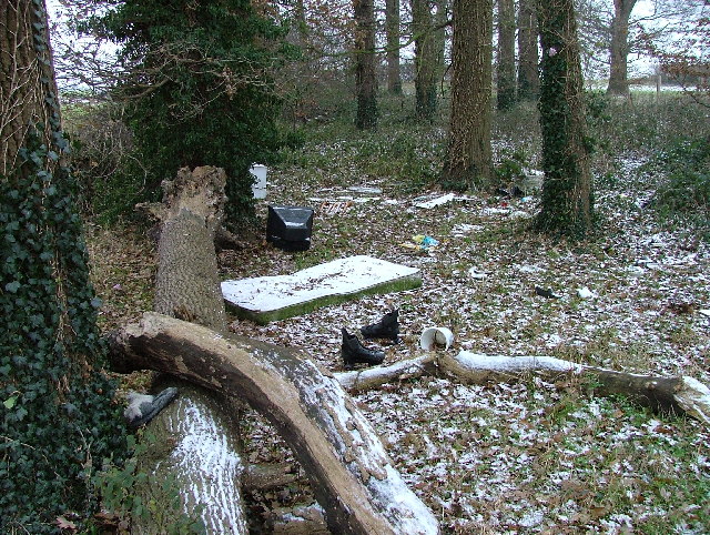
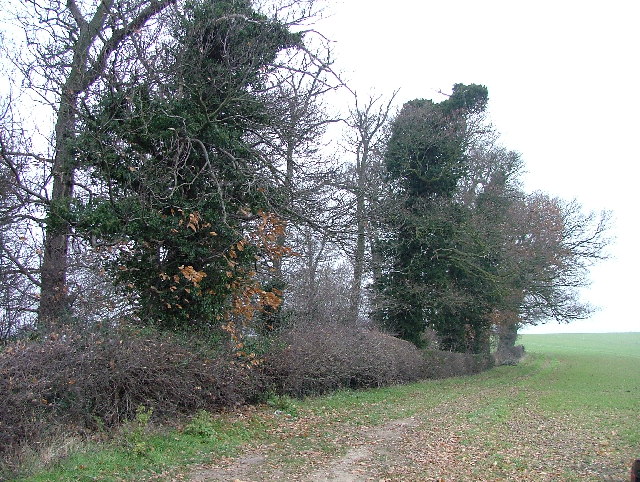
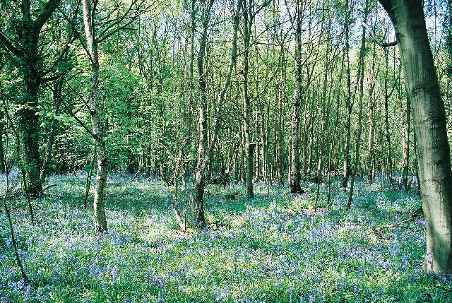
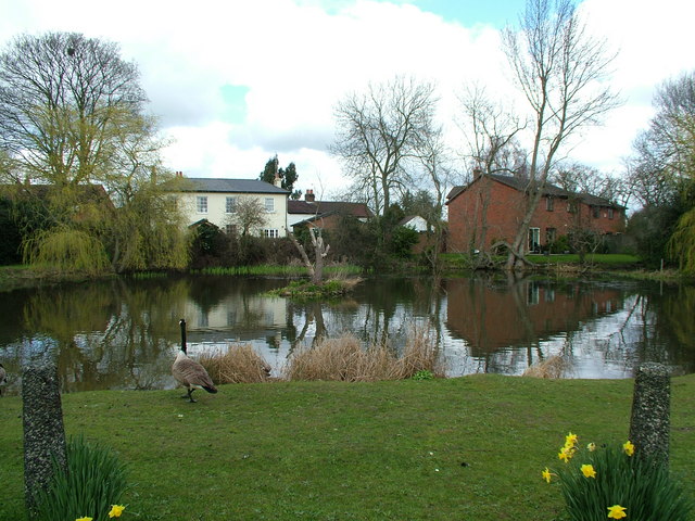
Surrounded by the rolling Hertfordshire countryside, Datchworth offers ample opportunities for outdoor activities. The village is home to several parks and green spaces, including the Datchworth Recreation Ground, which provides a serene setting for walks, picnics, and sports. The nearby River Beane also offers opportunities for fishing and relaxing by the water.
Datchworth has a strong sense of community, with various local organizations and clubs catering to different interests. The village pub, The Tilbury, serves as a social hub, offering a warm and friendly atmosphere for residents and visitors alike. The village also has a primary school, providing education for local children.
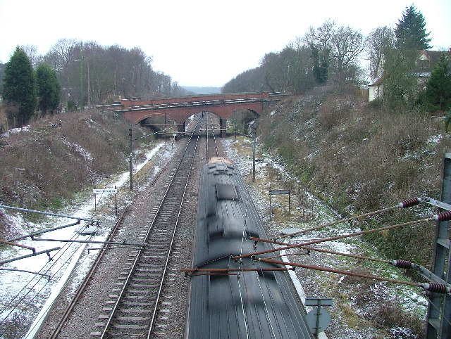
Transport links in Datchworth are convenient. The village is well-connected by road, with the A1(M) motorway passing nearby, offering easy access to London and other major cities. Rail services are available from nearby towns, with Stevenage and Welwyn Garden City both providing regular trains to London and other destinations.
Overall, Datchworth is a tranquil and charming village, offering a peaceful retreat from the hustle and bustle of nearby urban areas. Its rich history, natural beauty, and strong community spirit make it an idyllic place to live or visit.
If you have any feedback on the listing, please let us know in the comments section below.
Datchworth Images
Images are sourced within 2km of 51.848461/-0.158778 or Grid Reference TL2618. Thanks to Geograph Open Source API. All images are credited.


Datchworth is located at Grid Ref: TL2618 (Lat: 51.848461, Lng: -0.158778)
Administrative County: Hertfordshire
District: East Hertfordshire
Police Authority: Hertfordshire
What 3 Words
///valid.boost.giving. Near Datchworth, Hertfordshire
Nearby Locations
Related Wikis

The Tilbury, Datchworth
The Tilbury is a public house and restaurant in Datchworth, Hertfordshire, England. It was formerly known as The Inn on the Green and The Three Horseshoes...

Hopper's Hall
Hopper's Hall is a grade II listed house in Watton Road, Datchworth, Hertfordshire. It dates from around 1640 with minor additions and alterations since...
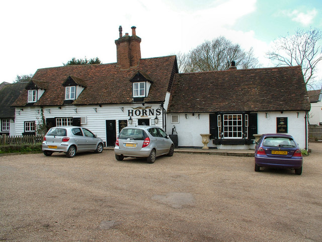
The Horns, Bull's Green
The Horns is a public house in Datchworth, Hertfordshire, England. It is situated on Bramfield Road in Bull's Green, a hamlet in the parish of Datchworth...

Datchworth
Datchworth is a village and civil parish between the towns of Hertford, Stevenage and Welwyn Garden City in the county of Hertfordshire, England. Sited...

Woolmer Green
Woolmer Green is a small village and civil parish in Hertfordshire, England. The 2011 census figure for the population (from the Office for National Statistics...

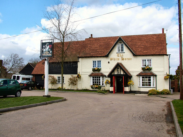
The White Horse, Burnham Green
The White Horse is a grade II listed public house in Whitehorse Lane, Burnham Green, in the parish of Datchworth in Hertfordshire. The building dates from...
Broadway Malyan
Broadway Malyan is a global architecture, urbanism and design practice. It was established in 1958 by architects Cyril Broadway and John Malyan. Among...

Mardley Heath
Mardley Heath is a 41.1 hectare Local Nature Reserve in Welwyn in Hertfordshire. It is owned by Welwyn Hatfield Borough Council and managed by the council...
Nearby Amenities
Located within 500m of 51.848461,-0.158778Have you been to Datchworth?
Leave your review of Datchworth below (or comments, questions and feedback).