Datchworth Green
Urban Greenspace in Hertfordshire East Hertfordshire
England
Datchworth Green

Datchworth Green is a picturesque village located in Hertfordshire, England. It is known for its charming and well-preserved historic buildings, which give the village a quintessentially English feel. One of the standout features of Datchworth Green is its urban greenspace, which provides a serene and natural escape for both residents and visitors.
The greenspace in Datchworth Green is beautifully maintained, with well-manicured lawns, flower beds, and a variety of trees and shrubs. It is a popular spot for leisure activities such as picnics, dog walking, and playing outdoor sports. There are several benches scattered around the area, offering a peaceful place to sit and enjoy the surroundings.
A small stream runs through the greenspace, adding to its natural beauty and providing a habitat for various wildlife species. The stream is crossed by a charming stone footbridge, which is a popular spot for photographs.
The greenspace is also home to a children's playground, equipped with swings, slides, and climbing frames, making it an ideal place for families to spend quality time together. Additionally, there are well-marked walking paths that wind through the greenspace, providing opportunities for people to enjoy a leisurely stroll or jog in a tranquil setting.
Datchworth Green's urban greenspace is a valuable asset to the community, offering a peaceful and idyllic environment for residents to relax and connect with nature. Its well-maintained facilities and natural beauty make it a popular destination for people of all ages to enjoy outdoor activities and escape the bustle of everyday life.
If you have any feedback on the listing, please let us know in the comments section below.
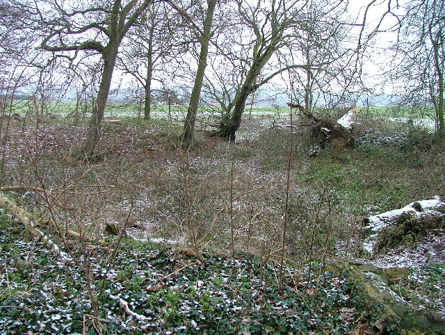
Datchworth Green Images
Images are sourced within 2km of 51.84847/-0.16100786 or Grid Reference TL2618. Thanks to Geograph Open Source API. All images are credited.


Datchworth Green is located at Grid Ref: TL2618 (Lat: 51.84847, Lng: -0.16100786)
Administrative County: Hertfordshire
District: East Hertfordshire
Police Authority: Hertfordshire
What 3 Words
///copies.chefs.winter. Near Datchworth, Hertfordshire
Nearby Locations
Related Wikis

The Tilbury, Datchworth
The Tilbury is a public house and restaurant in Datchworth, Hertfordshire, England. It was formerly known as The Inn on the Green and The Three Horseshoes...

Hopper's Hall
Hopper's Hall is a grade II listed house in Watton Road, Datchworth, Hertfordshire. It dates from around 1640 with minor additions and alterations since...
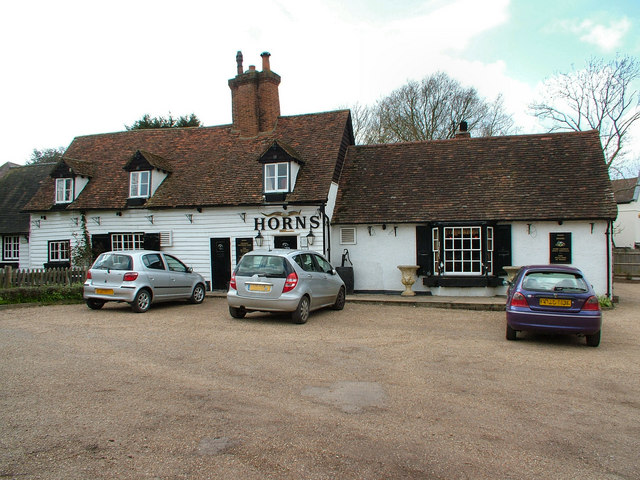
The Horns, Bull's Green
The Horns is a public house in Datchworth, Hertfordshire, England. It is situated on Bramfield Road in Bull's Green, a hamlet in the parish of Datchworth...

Datchworth
Datchworth is a village and civil parish between the towns of Hertford, Stevenage and Welwyn Garden City in the county of Hertfordshire, England. Sited...

Woolmer Green
Woolmer Green is a small village and civil parish in Hertfordshire, England. The 2011 census figure for the population (from the Office for National Statistics...

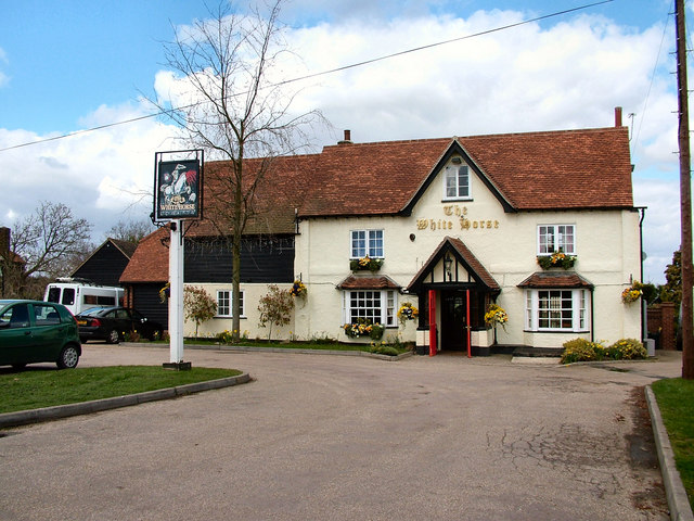
The White Horse, Burnham Green
The White Horse is a grade II listed public house in Whitehorse Lane, Burnham Green, in the parish of Datchworth in Hertfordshire. The building dates from...
Broadway Malyan
Broadway Malyan is a global architecture, urbanism and design practice. It was established in 1958 by architects Cyril Broadway and John Malyan. Among...

Mardley Heath
Mardley Heath is a 41.1 hectare Local Nature Reserve in Welwyn in Hertfordshire. It is owned by Welwyn Hatfield Borough Council and managed by the council...
Nearby Amenities
Located within 500m of 51.84847,-0.16100786Have you been to Datchworth Green?
Leave your review of Datchworth Green below (or comments, questions and feedback).