Mardleybury
Settlement in Hertfordshire East Hertfordshire
England
Mardleybury

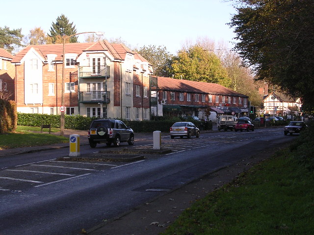
Mardleybury is a quaint village located in the county of Hertfordshire, England. Situated approximately 30 miles north of London, it falls within the East Hertfordshire district. With a population of around 500 residents, Mardleybury offers a peaceful and idyllic setting for its residents.
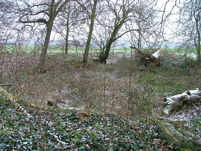
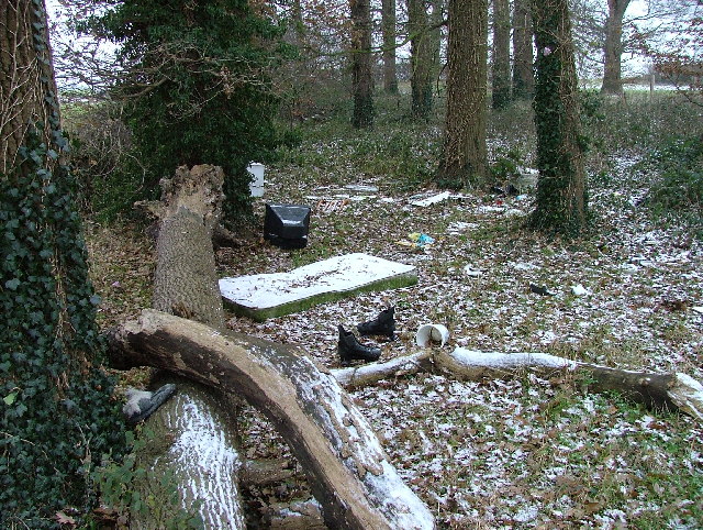
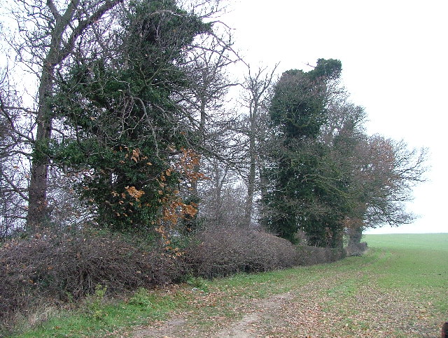
The village is known for its picturesque countryside, with rolling hills, lush greenery, and charming country lanes. It is surrounded by several other small villages and hamlets, contributing to the area's sense of community. The nearby Mardley Heath Nature Reserve provides ample opportunities for outdoor activities, such as hiking and birdwatching.
Mardleybury itself boasts a rich history, with evidence of settlement dating back to the Roman era. The village is home to several historic buildings, including a medieval church, St. Paul's, which dates back to the 12th century. The church is a prominent feature in the village and serves as a focal point for community events.
In terms of amenities, Mardleybury offers limited but essential services. There is a village hall that hosts various social gatherings and events, strengthening the community spirit. However, for more extensive facilities, residents can easily access nearby towns such as Welwyn Garden City and Hertford, which offer a wider range of amenities including shops, schools, and medical services.
Overall, Mardleybury presents an appealing option for those seeking a tranquil and close-knit community in the beautiful Hertfordshire countryside. Its rich history, natural surroundings, and convenient location make it an attractive place to live for those who value a peaceful village lifestyle.
If you have any feedback on the listing, please let us know in the comments section below.
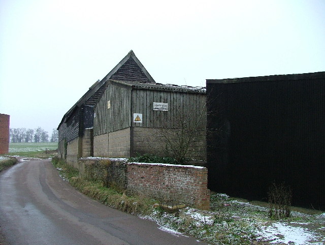
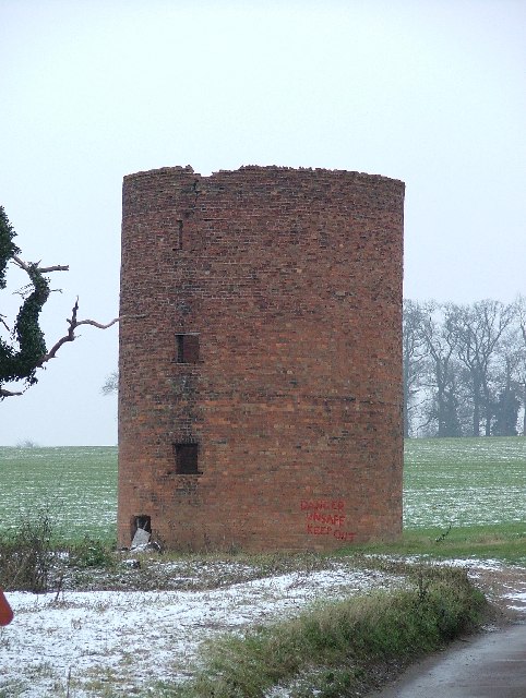
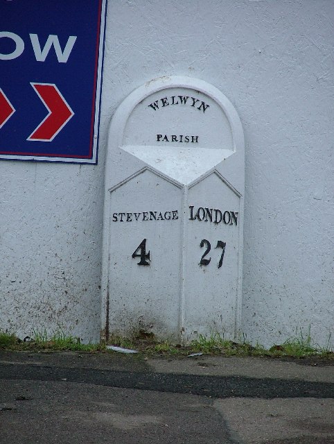
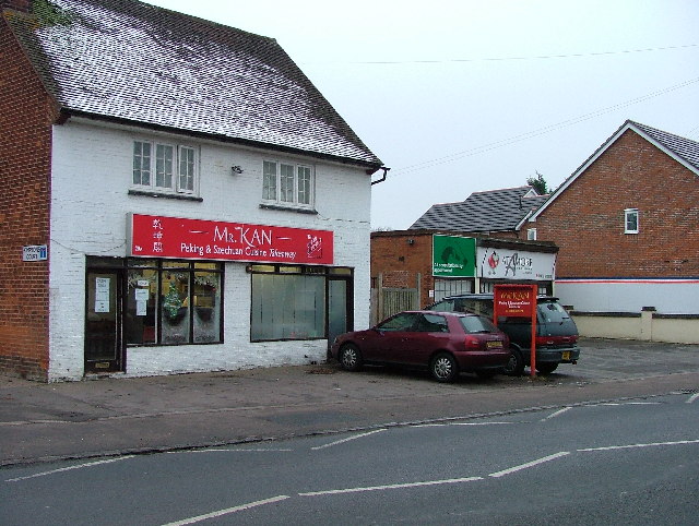
Mardleybury Images
Images are sourced within 2km of 51.846389/-0.1722572 or Grid Reference TL2618. Thanks to Geograph Open Source API. All images are credited.


Mardleybury is located at Grid Ref: TL2618 (Lat: 51.846389, Lng: -0.1722572)
Administrative County: Hertfordshire
District: East Hertfordshire
Police Authority: Hertfordshire
What 3 Words
///seats.sadly.member. Near Datchworth, Hertfordshire
Nearby Locations
Related Wikis

Woolmer Green
Woolmer Green is a small village and civil parish in Hertfordshire, England. The 2011 census figure for the population (from the Office for National Statistics...

The Tilbury, Datchworth
The Tilbury is a public house and restaurant in Datchworth, Hertfordshire, England. It was formerly known as The Inn on the Green and The Three Horseshoes...

Hopper's Hall
Hopper's Hall is a grade II listed house in Watton Road, Datchworth, Hertfordshire. It dates from around 1640 with minor additions and alterations since...
Broadway Malyan
Broadway Malyan is a global architecture, urbanism and design practice. It was established in 1958 by architects Cyril Broadway and John Malyan. Among...
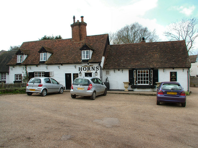
The Horns, Bull's Green
The Horns is a public house in Datchworth, Hertfordshire, England. It is situated on Bramfield Road in Bull's Green, a hamlet in the parish of Datchworth...

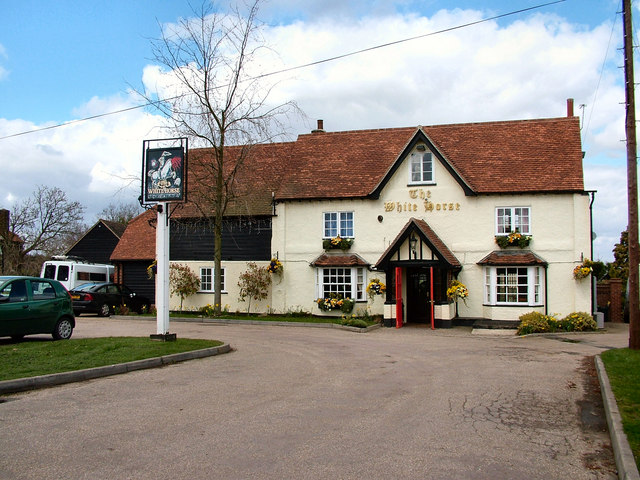
The White Horse, Burnham Green
The White Horse is a grade II listed public house in Whitehorse Lane, Burnham Green, in the parish of Datchworth in Hertfordshire. The building dates from...

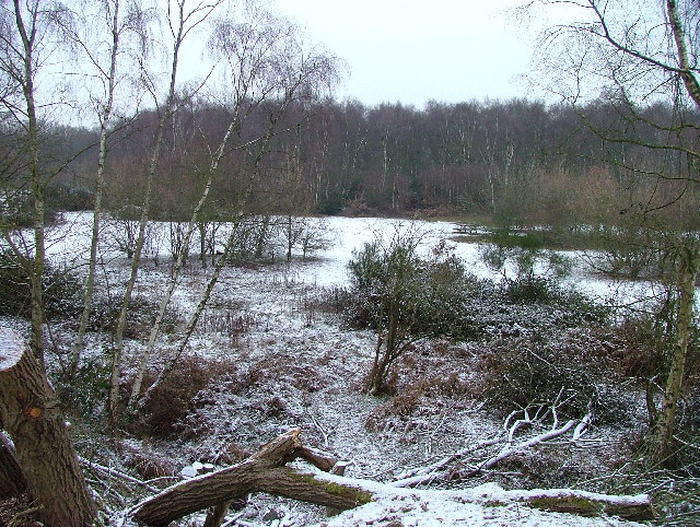
Mardley Heath
Mardley Heath is a 41.1 hectare Local Nature Reserve in Welwyn in Hertfordshire. It is owned by Welwyn Hatfield Borough Council and managed by the council...
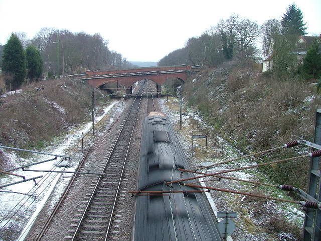
Welwyn Tunnel rail crash
The Welwyn Tunnel rail crash took place in Welwyn North Tunnel, north of Welwyn (now Welwyn North) station on the Great Northern Railway, on 9 June 1866...
Nearby Amenities
Located within 500m of 51.846389,-0.1722572Have you been to Mardleybury?
Leave your review of Mardleybury below (or comments, questions and feedback).