Biggin

Settlement in Derbyshire Derbyshire Dales

England

Biggin

A517 at Hulland Ward village boundary
A517 at Hulland Ward village boundary Credit: Colin Pyle

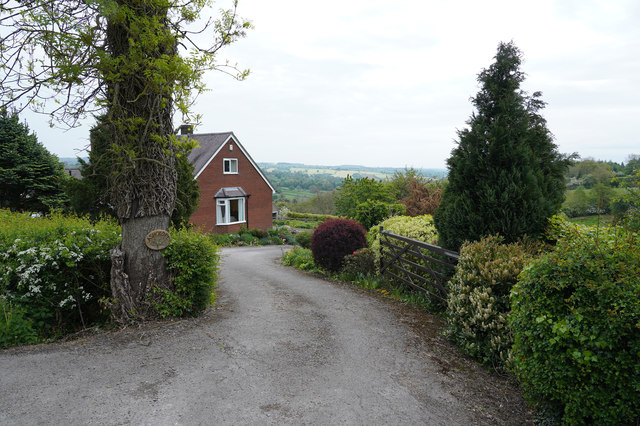
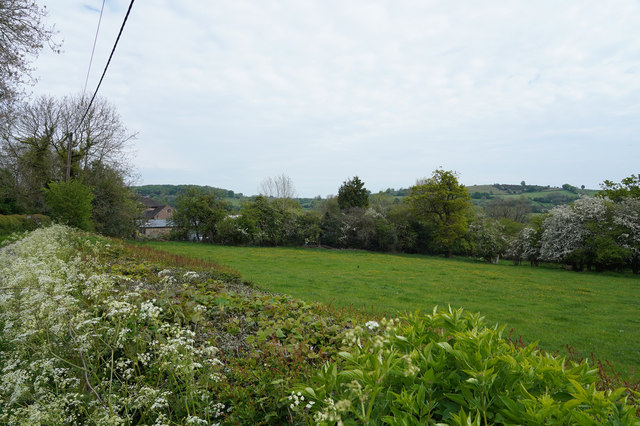
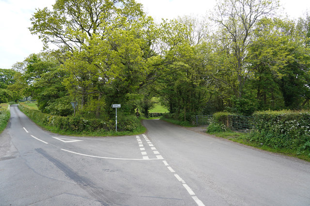
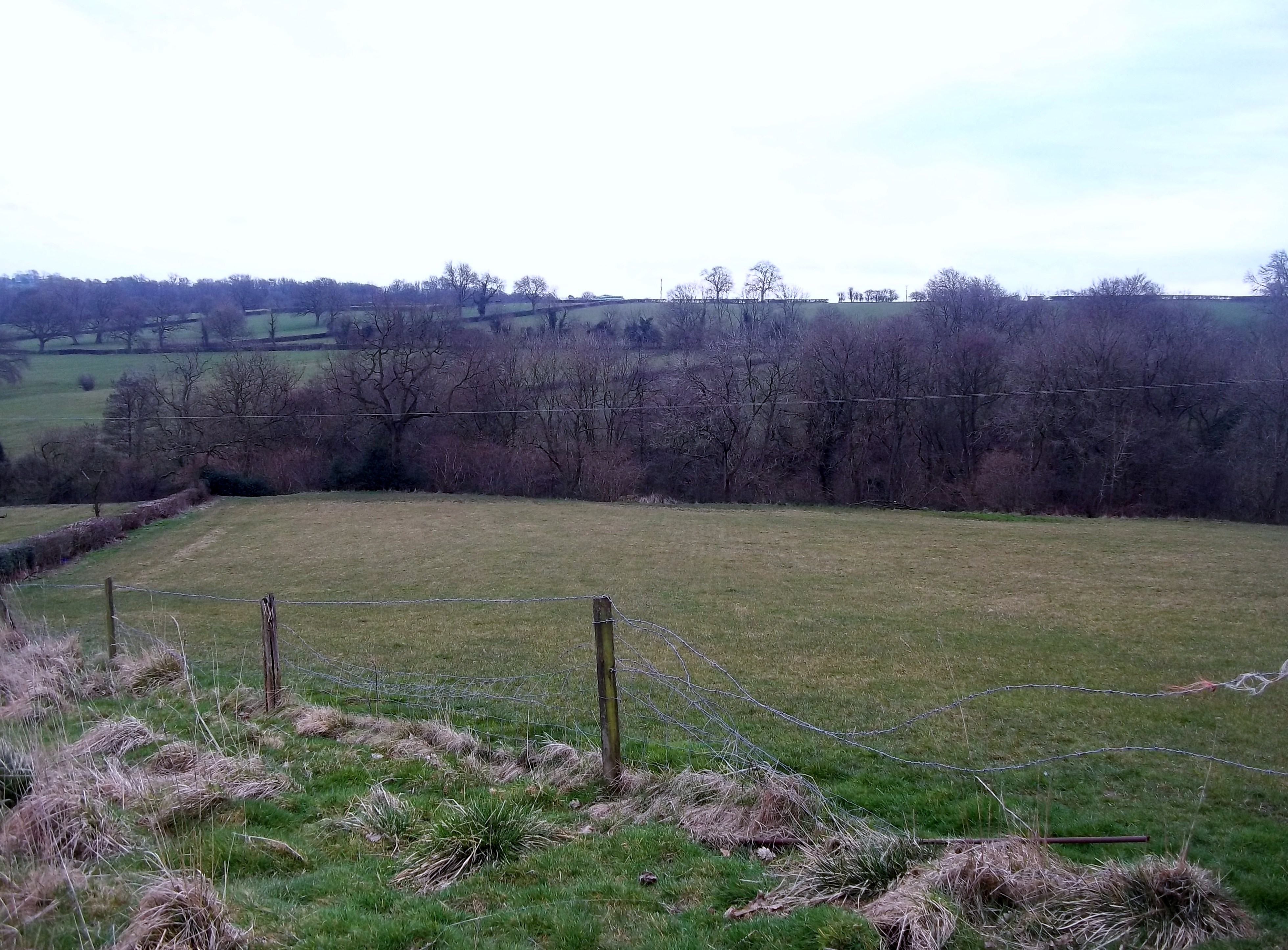
Biggin is a small village located in the Derbyshire Dales district of Derbyshire, England. Situated in the heart of the Peak District National Park, it enjoys a picturesque setting surrounded by rolling hills and lush green countryside. The village is nestled on the banks of the River Dove and is known for its tranquil atmosphere and natural beauty.

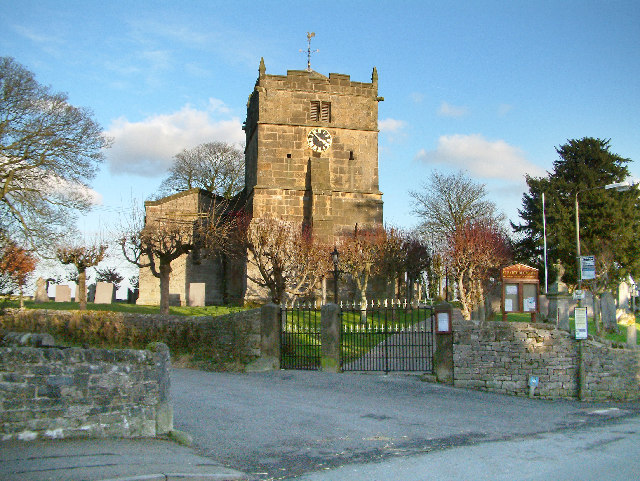
With a population of around 300 residents, Biggin is a close-knit community that maintains a strong sense of rural charm. The village features a mix of traditional stone cottages, farmhouses, and a few modern houses. Its architectural heritage is evident in its historic buildings, including the 12th-century St. Thomas Becket Church, which stands as a prominent landmark.

Biggin offers a range of amenities to cater to both residents and visitors. The village has a well-regarded primary school, a village hall, and a local pub, providing a central hub for social gatherings. The surrounding countryside provides ample opportunities for outdoor activities, such as hiking, cycling, and fishing, making it a popular destination for nature enthusiasts and tourists.

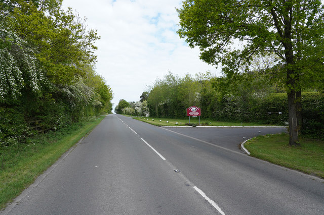
The village's proximity to other notable attractions in the Peak District, such as Dovedale and the Tissington Trail, further adds to its appeal. Its location also provides easy access to nearby towns like Ashbourne and Buxton, offering additional amenities and services.

In summary, Biggin is a charming village in Derbyshire that offers a peaceful rural lifestyle amidst stunning natural surroundings. Its rich history, community spirit, and proximity to the Peak District's attractions make it an attractive destination for visitors and a delightful place to call home.

If you have any feedback on the listing, please let us know in the comments section below.
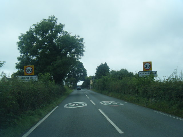
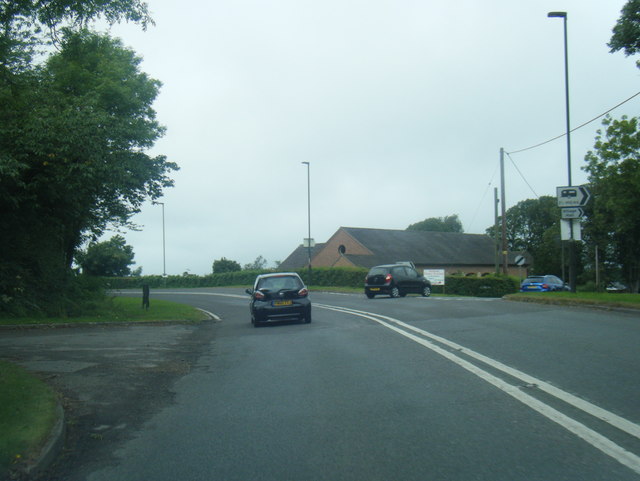
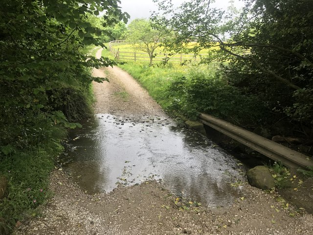
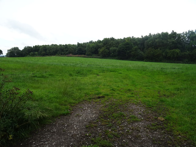
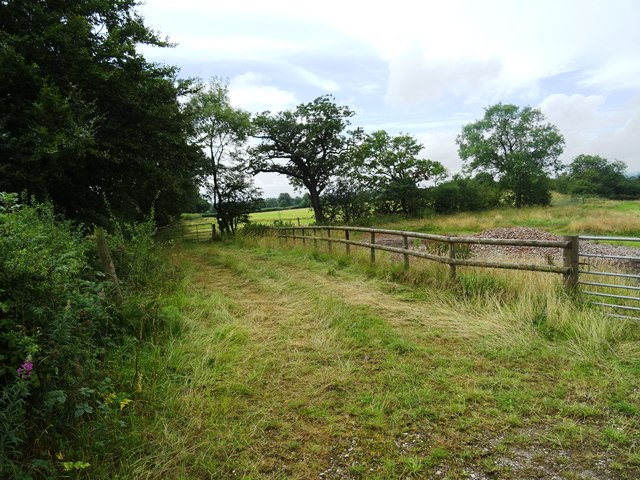
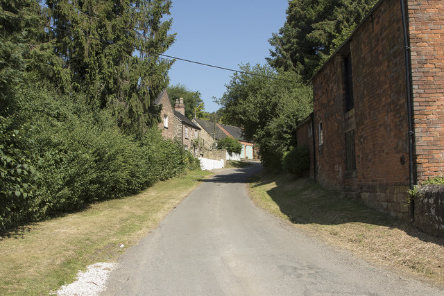
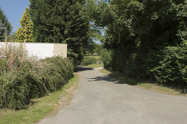
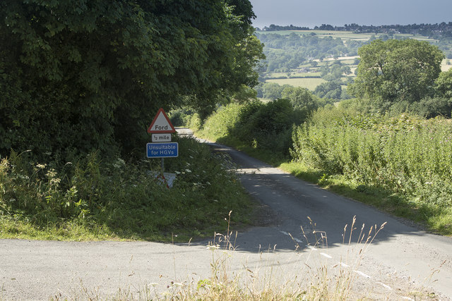
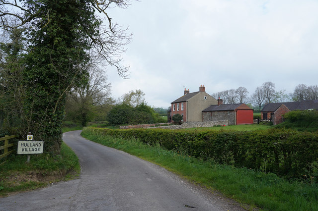
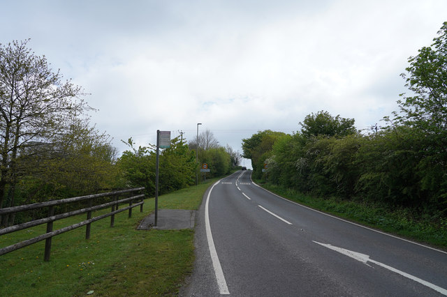
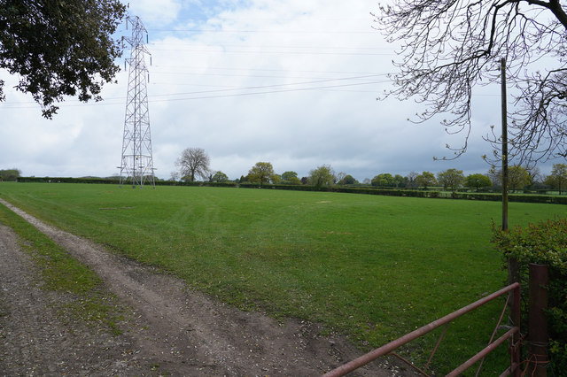
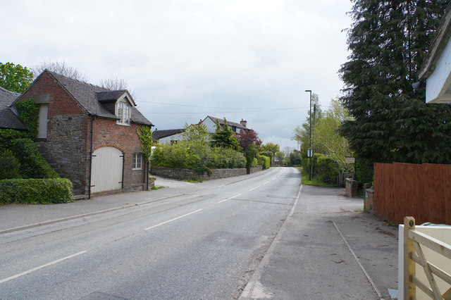
Biggin Images

Images are sourced within 2km of 53.031493/-1.614279 or Grid Reference SK2548. Thanks to Geograph Open Source API. All images are credited.

A517 at Hulland Ward village boundary
A517/ Dog Lane junction at Hulland Ward
Ford a Millington Green This is a third ford on the Biggin Brook at Millington Green. This one is found on the track leading up to Duncourt Farm.
Ford a Millington Green
This is a third ford on the Biggin Brook at Millington Green. This one is found on the track leading up to Duncourt Farm.
Blackwall Plantation Mature pine wood plantation.
Blackwall Plantation
Mature pine wood plantation.
Fields near Atlowtop The field beyond has a horse exercising track for the local stables.
Fields near Atlowtop
The field beyond has a horse exercising track for the local stables.
Houses on the Gorses A strangely named road in Ireton Village has some very desirable houses that are well away from shops and local amenities.
Houses on the Gorses
A strangely named road in Ireton Village has some very desirable houses that are well away from shops and local amenities.
Farm buildings next to the Gorses A concrete wall next to the road.
Farm buildings next to the Gorses
A concrete wall next to the road.
Unsuitable for HGV's The narrow road has a ford at the bottom and bears a sign saying unsuitable for HGV's which is no surprise.
Unsuitable for HGV's
The narrow road has a ford at the bottom and bears a sign saying unsuitable for HGV's which is no surprise.
Looking up Top Lons Top Lons is the road along which the camera is pointing from the junction of the lane with Bottom Lons and Broadway.
Looking up Top Lons
Top Lons is the road along which the camera is pointing from the junction of the lane with Bottom Lons and Broadway.
The edge of Hulland Village The sign says Hulland Village but there are only a couple of isolated houses here and then a large gap before the village proper.
The edge of Hulland Village
The sign says Hulland Village but there are only a couple of isolated houses here and then a large gap before the village proper.
Between Hulland and Hulland Ward The two villages share a name but are quite separate from each other.
Between Hulland and Hulland Ward
The two villages share a name but are quite separate from each other.
Fields and pylons A well cropped grass field that runs beneath pylons that transmit our electricity.
Fields and pylons
A well cropped grass field that runs beneath pylons that transmit our electricity.
Hulland Ward Village Hulland Ward is a village with a very mixed range of housing both in terms of age and size.
Hulland Ward Village
Hulland Ward is a village with a very mixed range of housing both in terms of age and size.
A house in the country Not quite as isolated as it looks but this house has a very pleasant view out over the valley.
A house in the country
Not quite as isolated as it looks but this house has a very pleasant view out over the valley.
Looking over a well clipped hedge Over the hedge is a field of grass bordered on its far side by more hedge and some trees.
Looking over a well clipped hedge
Over the hedge is a field of grass bordered on its far side by more hedge and some trees.
The fork in Gibfield Lane The roads ahead are - to the left Broom Lane and to the right Blackwall Lane. Both are very narrow with some passing places.
The fork in Gibfield Lane
The roads ahead are - to the left Broom Lane and to the right Blackwall Lane. Both are very narrow with some passing places.
The road to the reservoir Over the brow of the hill you will see Carsington Reservoir, which is a pumped storage reservoir, having very little natural inflow.  In times of heavy rain and high river levels in the Derwent water is pumped up into the reservoir for later release in times of low water.
The road to the reservoir
Over the brow of the hill you will see Carsington Reservoir, which is a pumped storage reservoir, having very little natural inflow. In times of heavy rain and high river levels in the Derwent water is pumped up into the reservoir for later release in times of low water.
Woodland Trees in the Evening Sun
Show me another place!

Biggin is located at Grid Ref: SK2548 (Lat: 53.031493, Lng: -1.614279)

Administrative County: Derbyshire

District: Derbyshire Dales

Police Authority: Derbyshire

What 3 Words

///aimed.engages.braced. Near Wirksworth, Derbyshire

Related Wikis

Biggin by Hulland

Biggin is a village and civil parish in the Derbyshire Dales district of Derbyshire, England, near Hulland and just off the A517 road. In the 2011 census...

Sheep Hills, Derbyshire

Sheep Hills is a place near Biggin in Derbyshire, United Kingdom. It is mainly a rural area, its geographical context is described as farm, grassland and...

Hulland Ward

Hulland Ward is a village and civil parish in the Derbyshire Dales district of Derbyshire roughly 6 miles west of Belper, Derbyshire England on the A517...

Hulland

Hulland is a village and civil parish in the Derbyshire Dales district of Derbyshire, England, adjoining the A517 road. It had a population of 215 according...

Holy Trinity Church, Kirk Ireton

Holy Trinity Church, Kirk Ireton, is a Grade I listed parish church in the Church of England in Kirk Ireton, Derbyshire. == History == The church dates...

Hognaston

Hognaston is a small village and civil parish in Derbyshire, East Midlands, England. Hognaston has a population of approximately 200; including Atlow and...

Kirk Ireton

Kirk Ireton is a village and civil parish in Derbyshire, England, 4 miles (6.4 km) southwest of Wirksworth on a hillside near Carsington Water, 700 feet...

Idridgehay

Idridgehay is a village in the civil parish of Idridgehay and Alton, in the Amber Valley district of Derbyshire, England. The population of this parish...

Nearby Amenities

Located within 500m of 53.031493,-1.614279
Biggin by Hulland
Is In Country: UK
Is In County: Derbyshire
Loc Name: Biggin
Nat Name: Biggin by Hulland
Place: village
Wikidata: Q2718225
Wikipedia En: Biggin by Hulland
Lat/Long: 53.0329993/-1.6140286
Post Box
Operator: Royal Mail
Ref: DE6 162
Lat/Long: 53.0336099/-1.6136577
Ele: 142.0000000
Lat/Long: 53.0351729/-1.6126945
Ele: 140.0000000
Lat/Long: 53.0351625/-1.6127695
Ele: 152
Lat/Long: 53.034028/-1.6159616
Barrier: stile
Ele: 168.0000000
Steps: 1
Stile: stepover
Lat/Long: 53.033694/-1.6202959
Ele: 161.0000000
Lat/Long: 53.0336693/-1.6185687
Ele: 157
Lat/Long: 53.0342961/-1.6182157
Barrier: stile
Ele: 155.0000000
Steps: 1
Stile: stepover
Lat/Long: 53.0340989/-1.6173353
Ele: 154
Lat/Long: 53.0340263/-1.6171502
Ele: 135.0000000
Lat/Long: 53.0347675/-1.6129347
Barrier: stile
Ele: 135.0000000
Steps: 0
Stile: stepover
Lat/Long: 53.0347503/-1.6129383
Barrier: stile
Steps: 0
Stile: stepover
Lat/Long: 53.0339797/-1.615853
Barrier: stile
Steps: 1
Stile: stepover
Lat/Long: 53.0276811/-1.6104352
Barrier: stile
Material: stone
Source: survey;gps
Stile: squeezer
Lat/Long: 53.0351383/-1.6128066
Barrier: stile
Ele: 141.0000000
Steps: 0
Stile: stepover
Lat/Long: 53.0351697/-1.6127023
Fixme: stile, gate or entrance
Lat/Long: 53.0281783/-1.6170311
Barrier: stile
Material: stone
Source: survey;gps
Stile: squeezer
Lat/Long: 53.0287703/-1.6174468
Barrier: stile
Material: wood
Source: survey;gps
Stile: stepover
Lat/Long: 53.0300254/-1.609227
Barrier: entrance
Source: survey;gps
Lat/Long: 53.029214/-1.6094282
Barrier: stile
Material: wood
Source: survey;gps
Stile: stepover
Lat/Long: 53.028061/-1.6095335
Barrier: stile
Material: wood
Source: survey;gps
Stile: stepover
Lat/Long: 53.0280564/-1.6095731
Barrier: stile
Material: stone
Source: survey;gps
Stile: squeezer
Lat/Long: 53.0320179/-1.6120938
Barrier: entrance
Source: survey;gps
Lat/Long: 53.0311822/-1.6111521
Barrier: stile
Material: stone
Source: survey;gps
Stile: squeezer
Lat/Long: 53.0302164/-1.6096281
Barrier: entrance
Source: survey;gps
Lat/Long: 53.0306802/-1.6102546
Barrier: stile
Material: wood
Source: survey;gps
Stile: stepover
Lat/Long: 53.0288241/-1.6200056
Barrier: stile
Material: stone
Source: survey;gps
Stile: squeezer
Lat/Long: 53.0287965/-1.61887
Barrier: stile
Material: stone
Source: survey;gps
Stile: squeezer
Lat/Long: 53.030198/-1.616581
Barrier: stile
Material: wood
Source: survey;gps
Stile: stepover
Lat/Long: 53.0315326/-1.614376
Barrier: stile
Material: stone
Source: survey;gps
Stile: squeezer
Lat/Long: 53.0320316/-1.6144863
Direction: S
Generator Method: photovoltaic
Generator Output Electricity: yes
Generator Source: solar
Generator Type: solar_photovoltaic_panel
Location: roof
Power: generator
Lat/Long: 53.033234/-1.6144549
Direction: SW
Generator Method: photovoltaic
Generator Output Electricity: yes
Generator Solar Modules: 3
Generator Source: solar
Generator Type: solar_photovoltaic_panel
Location: roof
Power: generator
Lat/Long: 53.0317881/-1.6140454
Direction: SW
Generator Method: photovoltaic
Generator Output Electricity: yes
Generator Solar Modules: 3
Generator Source: solar
Generator Type: solar_photovoltaic_panel
Location: roof
Power: generator
Lat/Long: 53.0319336/-1.6139878
Direction: SW
Generator Method: photovoltaic
Generator Output Electricity: yes
Generator Solar Modules: 3
Generator Source: solar
Generator Type: solar_photovoltaic_panel
Location: roof
Power: generator
Lat/Long: 53.0319498/-1.6140776
Fixme: stile, gate or entrance
Lat/Long: 53.0283609/-1.6152514
Barrier: stile
Lat/Long: 53.032944/-1.609204
Barrier: stile
Lat/Long: 53.0325958/-1.6083105
Fixme: stile, gate or entrance
Lat/Long: 53.029744/-1.6123828
The data included in this document is from www.openstreetmap.org. The data is made available under ODbL.

Have you been to Biggin?

Leave your review of Biggin below (or comments, questions and feedback).