Upper Biggin
Settlement in Derbyshire Derbyshire Dales
England
Upper Biggin
Upper Biggin is a small village located in the county of Derbyshire, England. It is situated in the heart of the Peak District National Park, surrounded by picturesque countryside and rolling hills. The village is part of the civil parish of Biggin, which also includes the nearby hamlet of Heathcote.
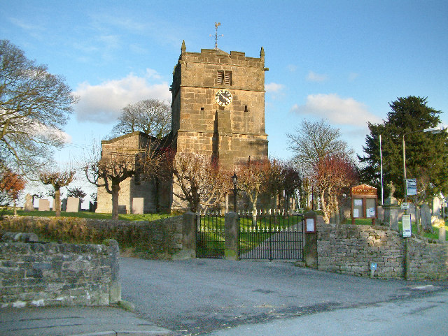
With a population of around 100 residents, Upper Biggin is a close-knit and tight community. The village is characterized by its charming stone cottages and traditional buildings, which give it a timeless and quaint atmosphere. The local church, St. Thomas Becket, is a notable landmark and dates back to the 13th century.
Despite its small size, Upper Biggin offers a range of amenities to its residents and visitors. The village is home to a local pub, The Biggin Hall Inn, which serves traditional British cuisine and offers a warm and friendly environment. There are also a few bed and breakfast establishments that cater to tourists who come to explore the natural beauty of the Peak District.
For outdoor enthusiasts, Upper Biggin is a paradise. The village is surrounded by stunning landscapes and offers numerous walking trails and cycling routes. The nearby Dove Dale, a renowned limestone valley, is a popular destination for hikers and nature lovers. The village is also within easy reach of attractions such as Dovedale Stepping Stones and Ilam Park.
Overall, Upper Biggin is a peaceful and idyllic village that provides a perfect retreat for those seeking to escape the hustle and bustle of city life and immerse themselves in the beauty of the Peak District.
If you have any feedback on the listing, please let us know in the comments section below.
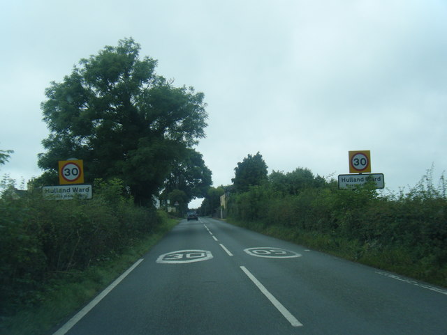
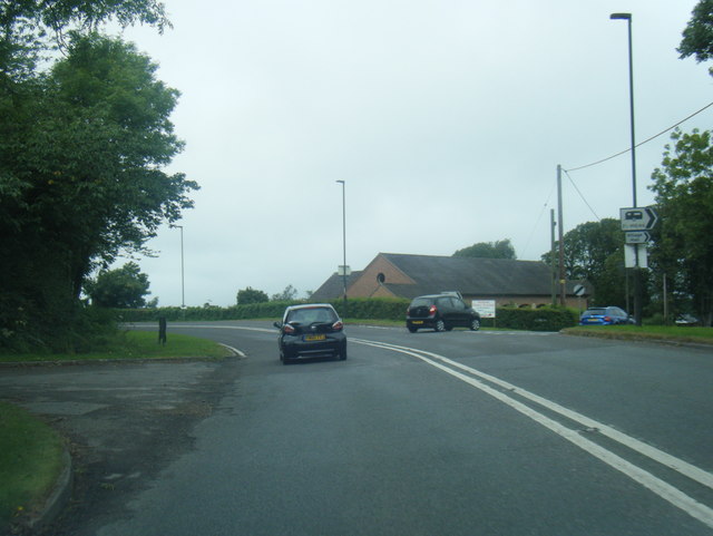
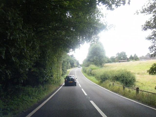
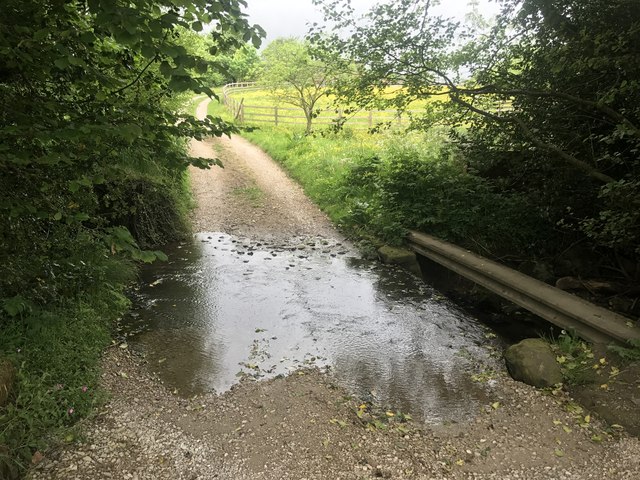
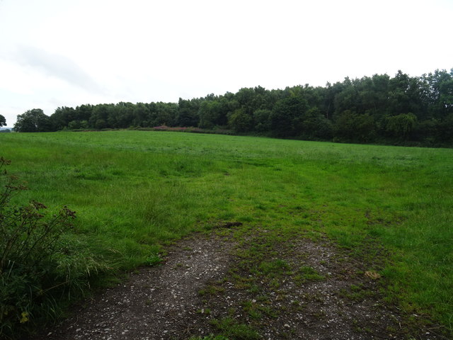
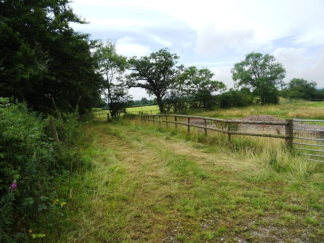
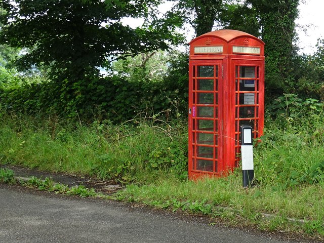
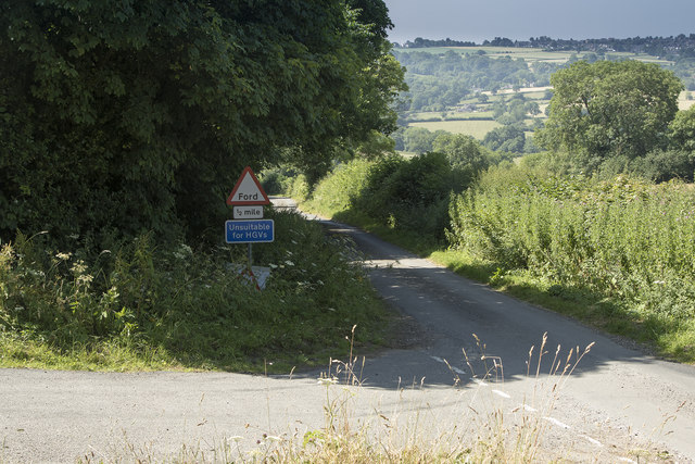
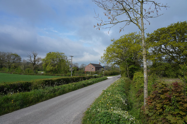
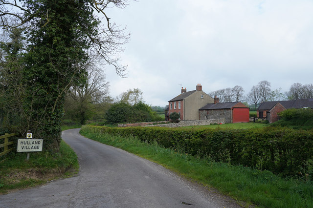
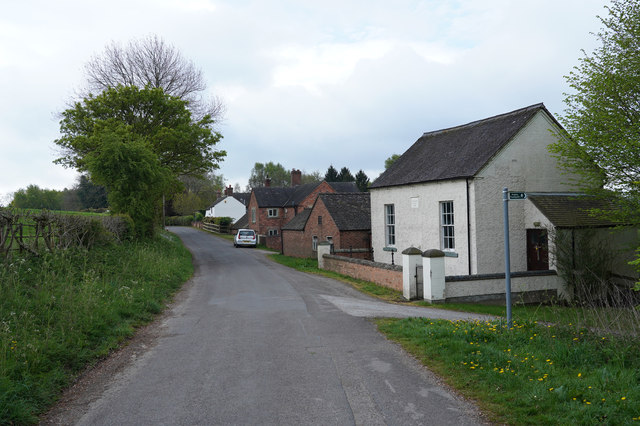
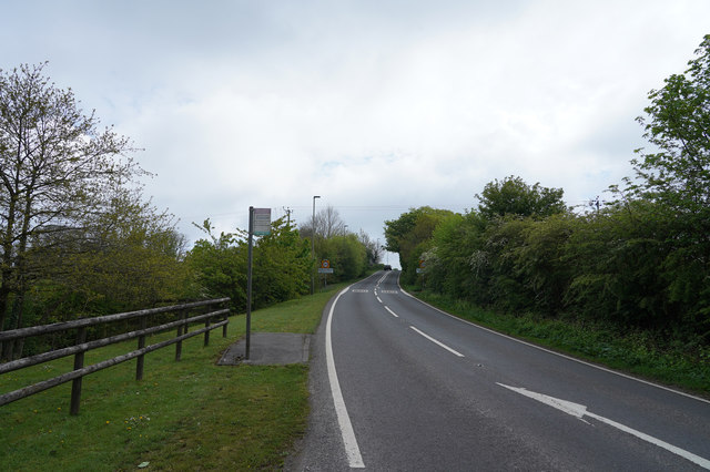
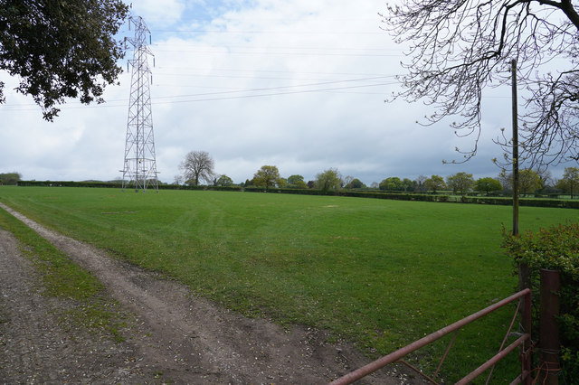
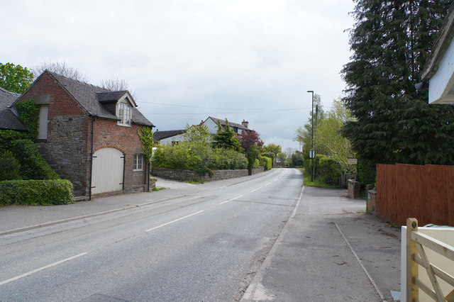
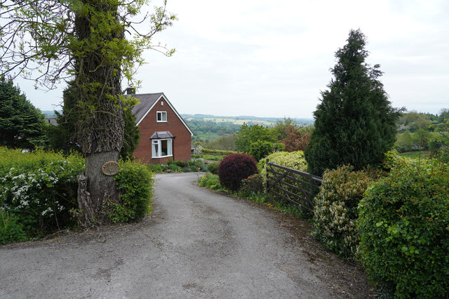
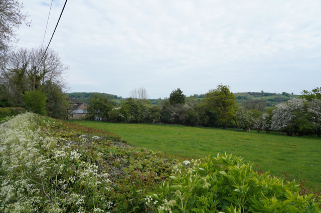
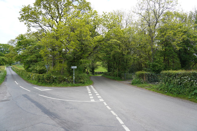
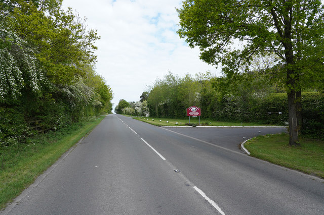
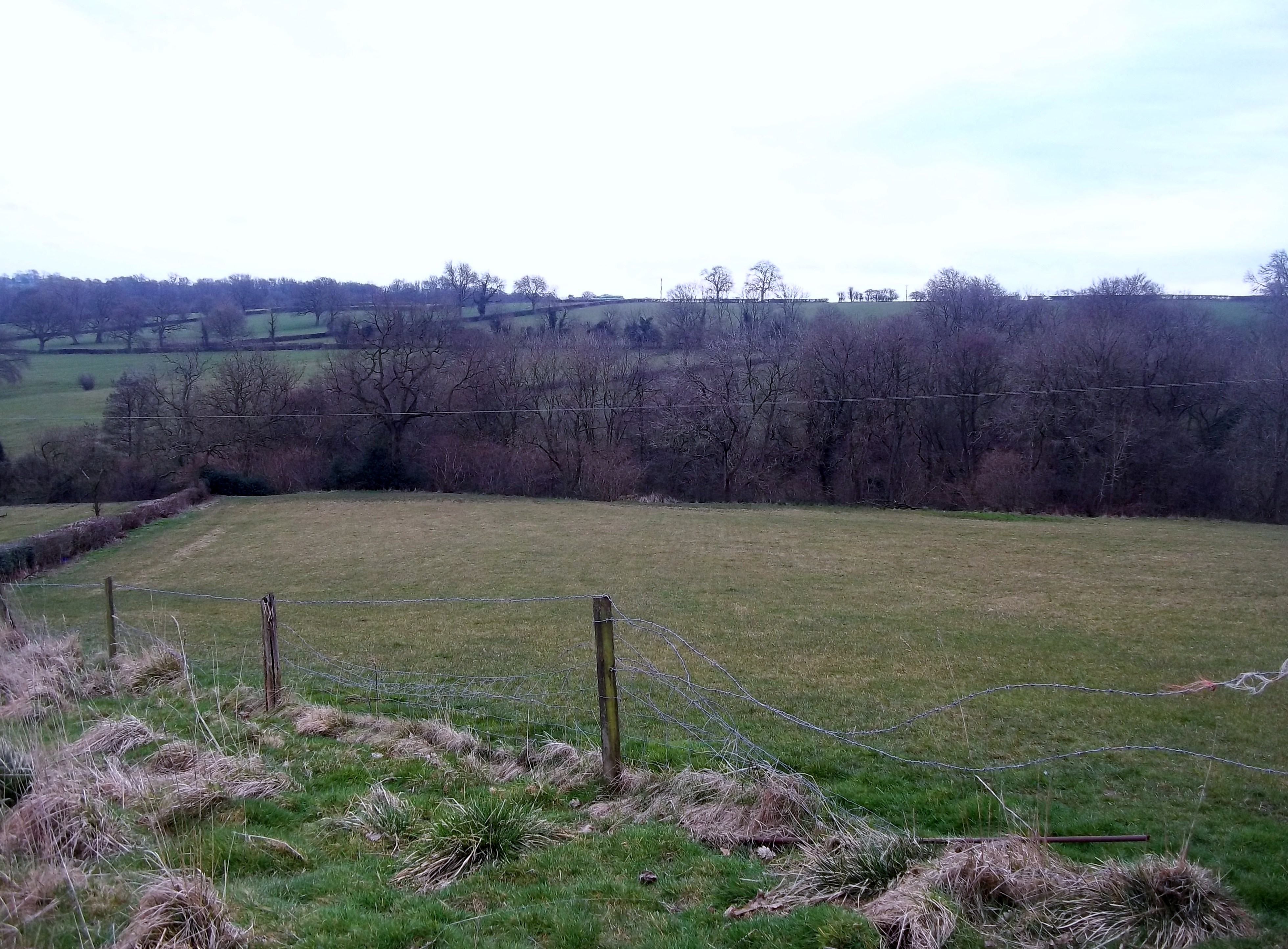
Upper Biggin Images
Images are sourced within 2km of 53.0289/-1.6212653 or Grid Reference SK2548. Thanks to Geograph Open Source API. All images are credited.
Upper Biggin is located at Grid Ref: SK2548 (Lat: 53.0289, Lng: -1.6212653)
Administrative County: Derbyshire
District: Derbyshire Dales
Police Authority: Derbyshire
What 3 Words
///riding.hurricane.grants. Near Wirksworth, Derbyshire
Nearby Locations
Related Wikis

Biggin by Hulland
Biggin is a village and civil parish in the Derbyshire Dales district of Derbyshire, England, near Hulland and just off the A517 road. In the 2011 census...
Sheep Hills, Derbyshire
Sheep Hills is a place near Biggin in Derbyshire, United Kingdom. It is mainly a rural area, its geographical context is described as farm, grassland and...

Hulland Ward
Hulland Ward is a village and civil parish in the Derbyshire Dales district of Derbyshire roughly 6 miles west of Belper, Derbyshire England on the A517...
Hulland
Hulland is a village and civil parish in the Derbyshire Dales district of Derbyshire, England, adjoining the A517 road. It had a population of 215 according...
Hognaston
Hognaston is a small village and civil parish in Derbyshire, East Midlands, England. Hognaston has a population of approximately 200; including Atlow and...

Atlow
Atlow is a village and civil parish in the Derbyshire Dales district of Derbyshire, England, about eight miles west of Belper. According to the 2001 census...

Holy Trinity Church, Kirk Ireton
Holy Trinity Church, Kirk Ireton, is a Grade I listed parish church in the Church of England in Kirk Ireton, Derbyshire. == History == The church dates...

Kirk Ireton
Kirk Ireton is a village and civil parish in Derbyshire, England, 4 miles (6.4 km) southwest of Wirksworth on a hillside near Carsington Water, 700 feet...
Nearby Amenities
Located within 500m of 53.0289,-1.6212653Have you been to Upper Biggin?
Leave your review of Upper Biggin below (or comments, questions and feedback).