Biggin Wood
Wood, Forest in Derbyshire Derbyshire Dales
England
Biggin Wood
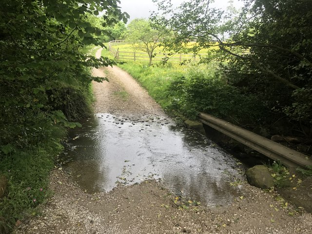
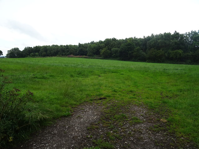
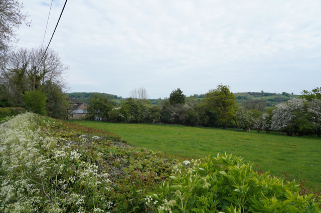
Biggin Wood, located in Derbyshire, is a picturesque forest known for its natural beauty and rich biodiversity. Covering an area of approximately 100 acres, this wood is a popular destination for nature lovers and hikers. It is situated near the village of Biggin, hence the name.
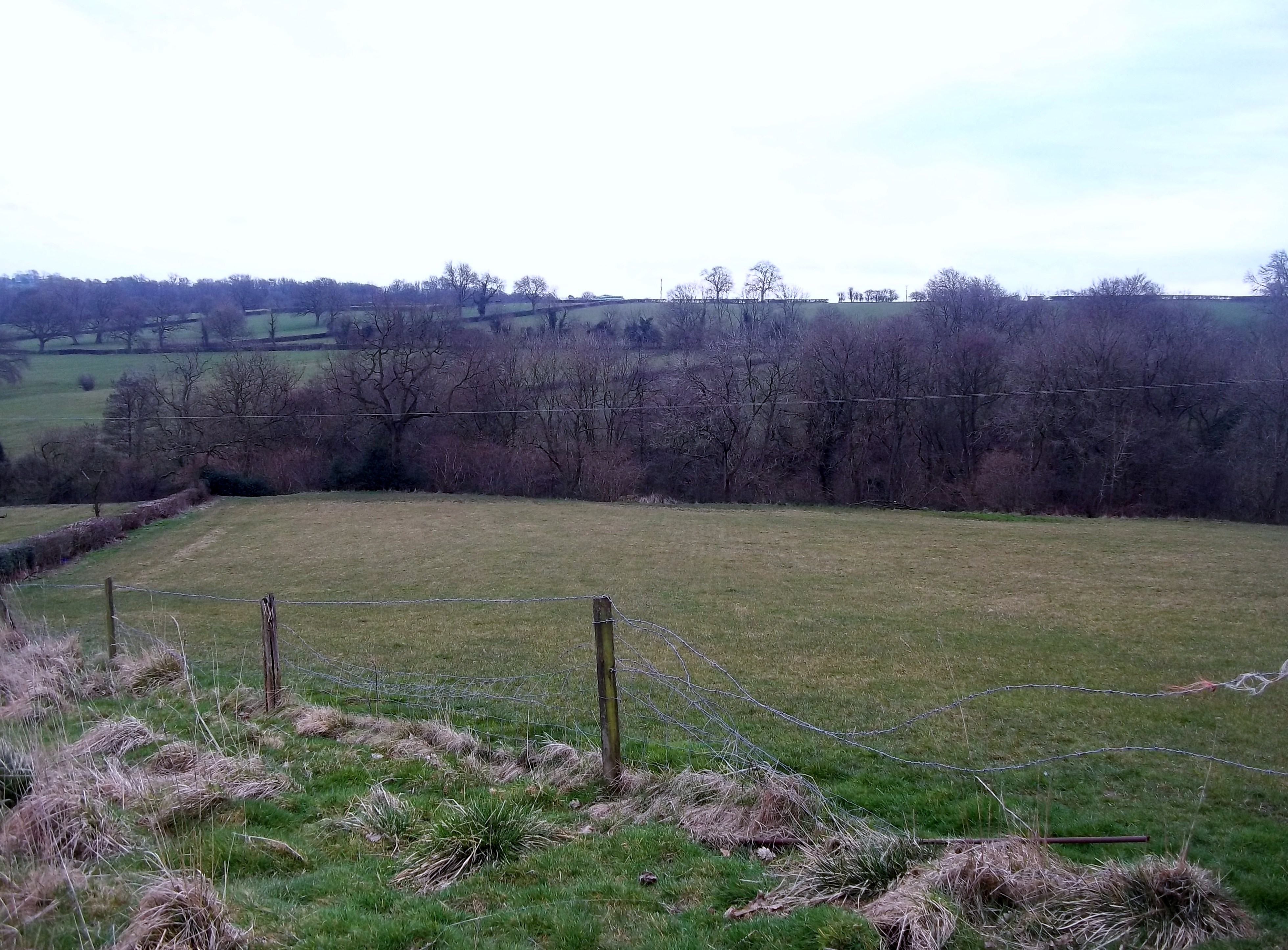
The woodland is dominated by a mix of deciduous and coniferous trees, creating a diverse and vibrant ecosystem. Oak, beech, and birch trees are abundant, providing a lush canopy that filters sunlight and creates a cool and refreshing atmosphere. The forest floor is carpeted with a variety of wildflowers, ferns, and mosses, adding to the enchanting ambiance of the wood.
Biggin Wood is home to a wide range of wildlife, including mammals, birds, and insects. Deer, foxes, and badgers are commonly spotted, while the bird population includes species such as woodpeckers, owls, and various songbirds. The wood also provides a habitat for numerous butterflies, bees, and beetles.
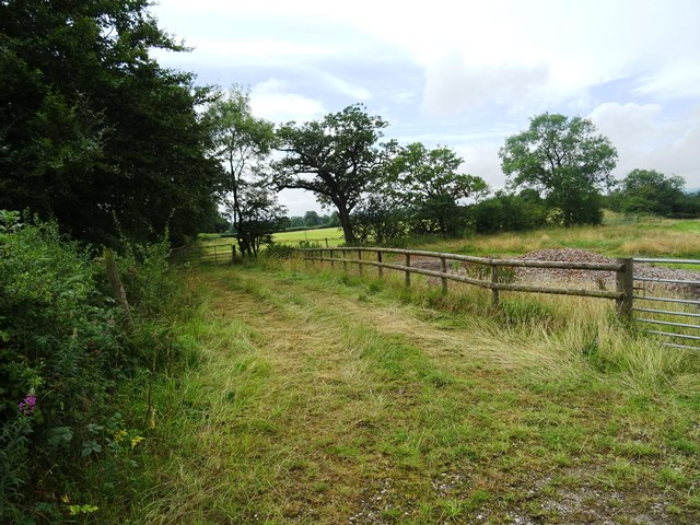
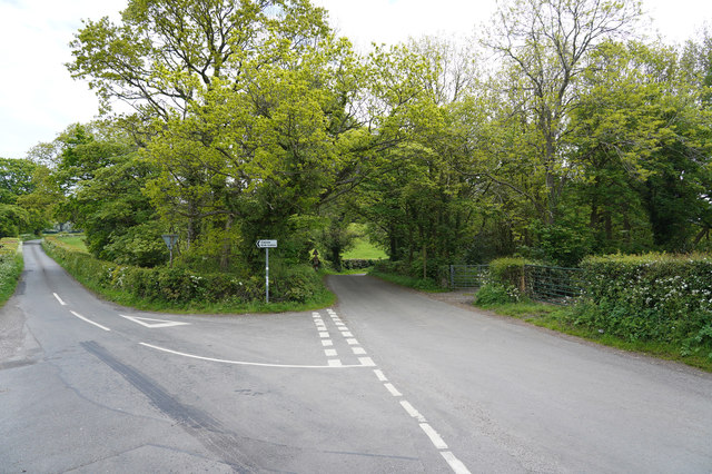
Several well-maintained walking trails crisscross the woodland, offering visitors the opportunity to explore its natural wonders. These paths lead to peaceful clearings, babbling brooks, and hidden ponds, providing ample opportunities for relaxation and contemplation.
Biggin Wood is a true gem of Derbyshire, attracting nature enthusiasts and photographers throughout the year. Its serene and untouched beauty makes it an ideal destination for those seeking a peaceful retreat or a chance to reconnect with nature.
If you have any feedback on the listing, please let us know in the comments section below.
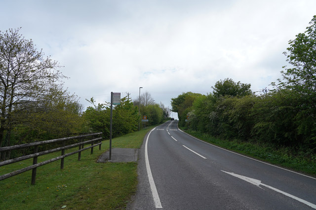
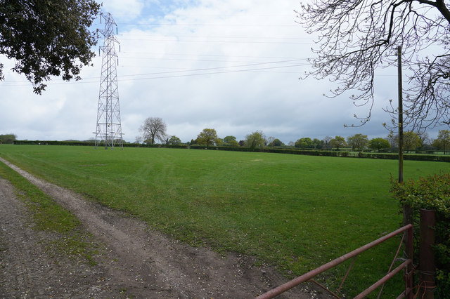
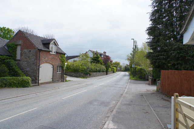
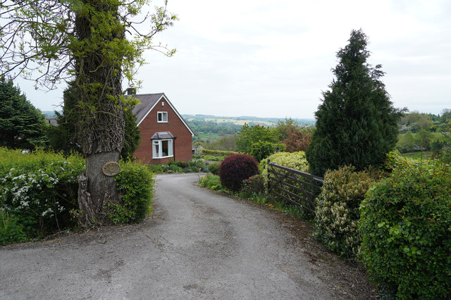
Biggin Wood Images
Images are sourced within 2km of 53.031216/-1.6174278 or Grid Reference SK2548. Thanks to Geograph Open Source API. All images are credited.


Biggin Wood is located at Grid Ref: SK2548 (Lat: 53.031216, Lng: -1.6174278)
Administrative County: Derbyshire
District: Derbyshire Dales
Police Authority: Derbyshire
What 3 Words
///veal.brilliant.moved. Near Wirksworth, Derbyshire
Nearby Locations
Related Wikis

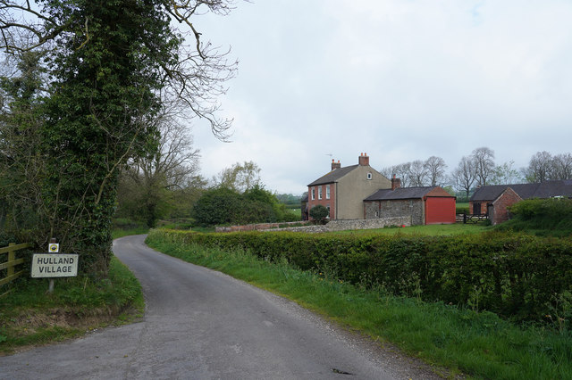
Biggin by Hulland
Biggin is a village and civil parish in the Derbyshire Dales district of Derbyshire, England, near Hulland and just off the A517 road. In the 2011 census...
Sheep Hills, Derbyshire
Sheep Hills is a place near Biggin in Derbyshire, United Kingdom. It is mainly a rural area, its geographical context is described as farm, grassland and...

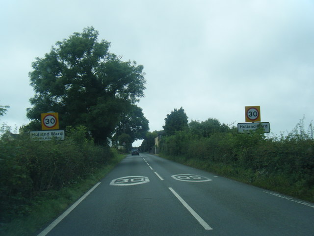
Hulland Ward
Hulland Ward is a village and civil parish in the Derbyshire Dales district of Derbyshire roughly 6 miles west of Belper, Derbyshire England on the A517...
Hulland
Hulland is a village and civil parish in the Derbyshire Dales district of Derbyshire, England, adjoining the A517 road. It had a population of 215 according...

Holy Trinity Church, Kirk Ireton
Holy Trinity Church, Kirk Ireton, is a Grade I listed parish church in the Church of England in Kirk Ireton, Derbyshire. == History == The church dates...
Hognaston
Hognaston is a small village and civil parish in Derbyshire, East Midlands, England. Hognaston has a population of approximately 200; including Atlow and...

Atlow
Atlow is a village and civil parish in the Derbyshire Dales district of Derbyshire, England, about eight miles west of Belper. According to the 2001 census...

Kirk Ireton
Kirk Ireton is a village and civil parish in Derbyshire, England, 4 miles (6.4 km) southwest of Wirksworth on a hillside near Carsington Water, 700 feet...
Nearby Amenities
Located within 500m of 53.031216,-1.6174278Have you been to Biggin Wood?
Leave your review of Biggin Wood below (or comments, questions and feedback).