Nuttalls Wood

Wood, Forest in Derbyshire Derbyshire Dales

England

Nuttalls Wood

A517/ Dog Lane junction at Hulland Ward
A517/ Dog Lane junction at Hulland Ward Credit: Colin Pyle

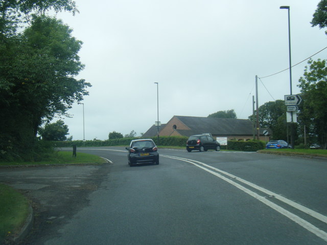
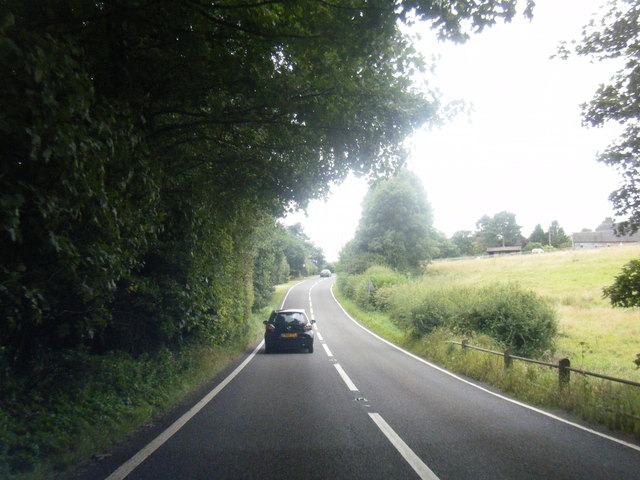
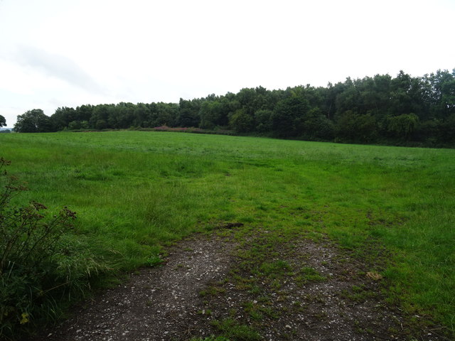
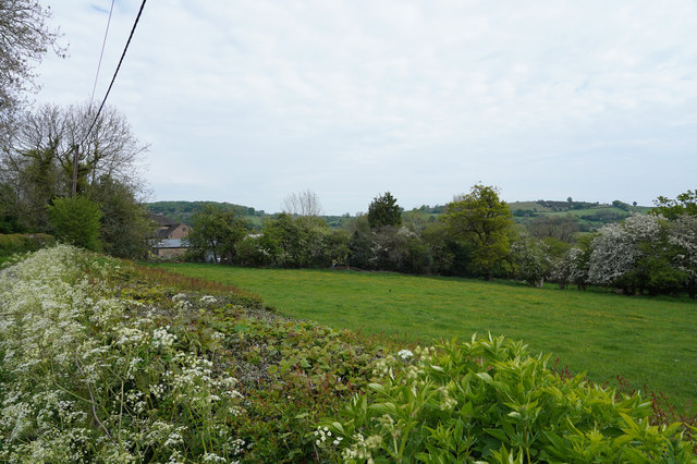
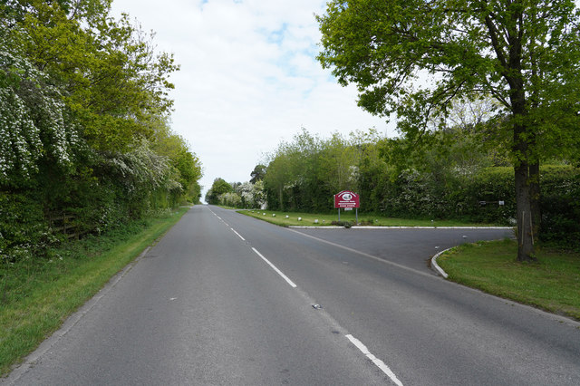
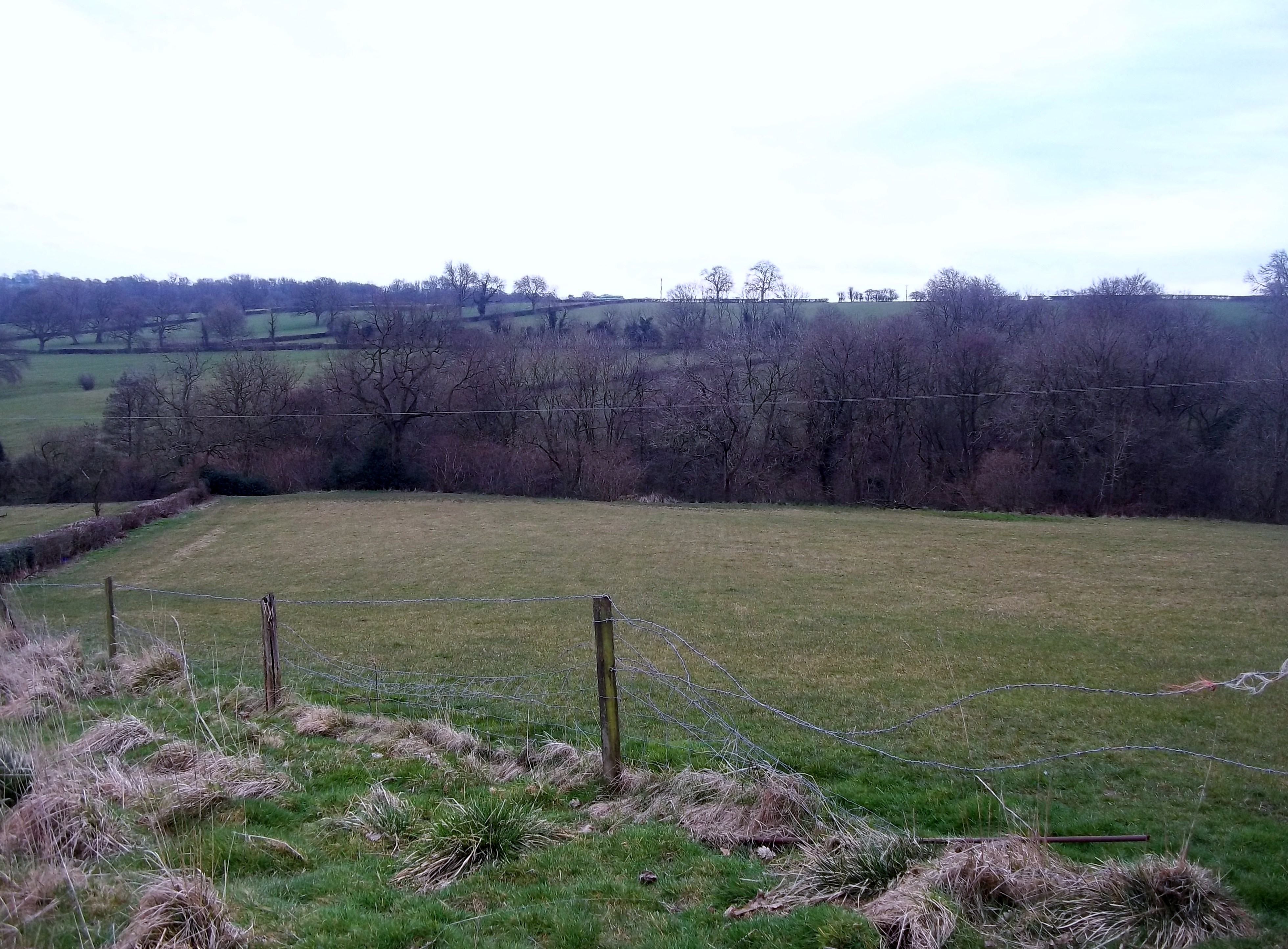
Nuttalls Wood is a picturesque forest located in Derbyshire, England. Spread across an area of approximately 100 hectares, it is a popular destination for nature enthusiasts and outdoor adventurers alike. The wood is situated on the eastern slopes of the Peak District National Park, offering breathtaking views of the surrounding countryside.

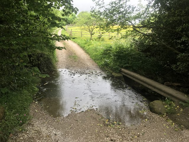
The wood is predominantly composed of native broadleaf trees such as oak, beech, and birch, creating a diverse and vibrant ecosystem. The dense canopy provides a habitat for various bird species, including woodpeckers and warblers, as well as mammals like squirrels and deer.

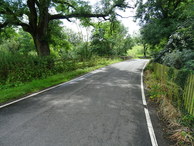
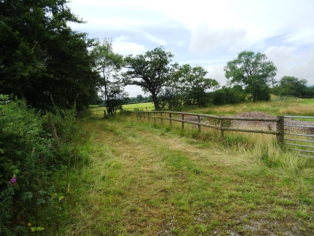
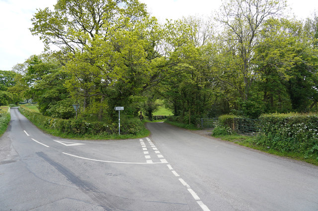
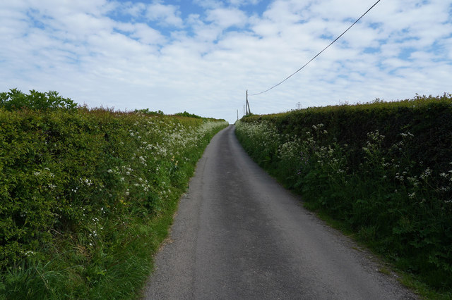
Visitors to Nuttalls Wood can enjoy a network of well-maintained footpaths and trails that meander through the woodland, allowing for peaceful walks and opportunities to explore the area's natural beauty. The wood is particularly renowned for its bluebell displays in spring, attracting photographers and nature enthusiasts who come to capture the stunning carpets of flowers.

For those seeking a more adventurous experience, Nuttalls Wood offers opportunities for mountain biking and horse riding. Its undulating terrain and well-marked trails make it an ideal location for outdoor activities.

Nuttalls Wood also holds educational value, with information boards throughout the wood providing visitors with insights into the local flora and fauna. The wood is managed by the local authorities, ensuring the preservation of its natural beauty and allowing future generations to appreciate its ecological significance.

Overall, Nuttalls Wood is a haven of tranquility and natural wonder, offering something for everyone who wishes to connect with nature in the heart of Derbyshire.

If you have any feedback on the listing, please let us know in the comments section below.

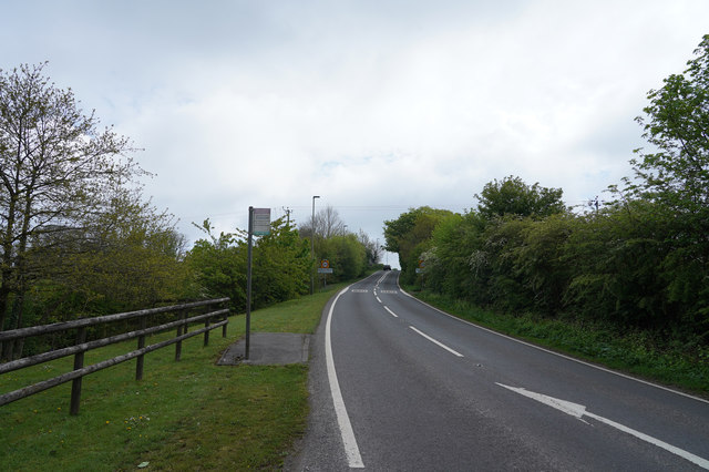
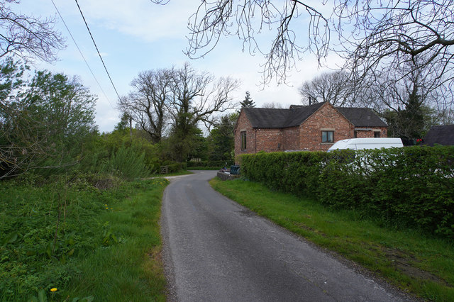
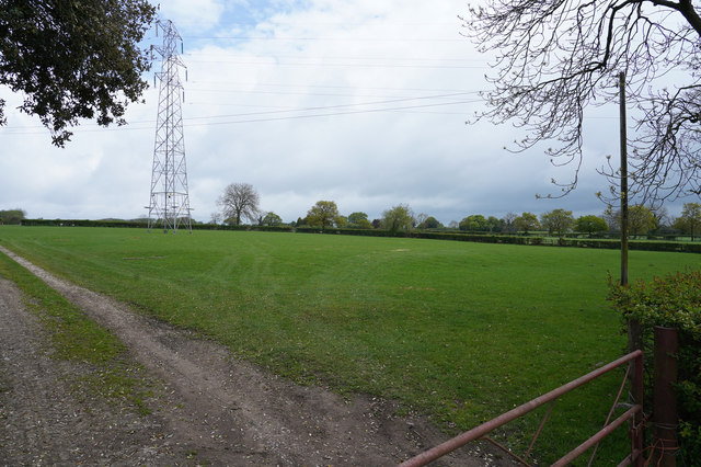
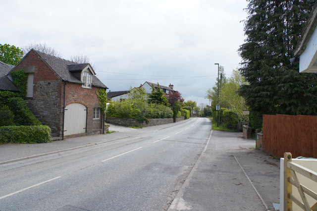
Nuttalls Wood Images

Images are sourced within 2km of 53.036024/-1.6284804 or Grid Reference SK2548. Thanks to Geograph Open Source API. All images are credited.

A517/ Dog Lane junction at Hulland Ward
A517 near Hulland Hall
Ford a Millington Green This is a third ford on the Biggin Brook at Millington Green. This one is found on the track leading up to Duncourt Farm.
Ford a Millington Green
This is a third ford on the Biggin Brook at Millington Green. This one is found on the track leading up to Duncourt Farm.
Picnic area at Millfields - Carsington Water The parking area is at the Southern end of the dam.
Picnic area at Millfields - Carsington Water
The parking area is at the Southern end of the dam.
Hognaston Bridge Bridge over the Scow Brook. The brook is downstream of the Carsington Reservoir. As can be seen from the size of the brook there is not a great catchment to the reservoir and it relies primarily on water pumped from the River Derwent at Ambergate.
Hognaston Bridge
Bridge over the Scow Brook. The brook is downstream of the Carsington Reservoir. As can be seen from the size of the brook there is not a great catchment to the reservoir and it relies primarily on water pumped from the River Derwent at Ambergate.
Blackwall Plantation Mature pine wood plantation.
Blackwall Plantation
Mature pine wood plantation.
Fields near Atlowtop The field beyond has a horse exercising track for the local stables.
Fields near Atlowtop
The field beyond has a horse exercising track for the local stables.
Rural telephone box at Turlow Fields
Avenue of Trees, Carsington, Derbyshire UK
Between Hulland and Hulland Ward The two villages share a name but are quite separate from each other.
Between Hulland and Hulland Ward
The two villages share a name but are quite separate from each other.
Entering Atlow Atlow is yet another very linear village.
Entering Atlow
Atlow is yet another very linear village.
Fields and pylons A well cropped grass field that runs beneath pylons that transmit our electricity.
Fields and pylons
A well cropped grass field that runs beneath pylons that transmit our electricity.
Hulland Ward Village Hulland Ward is a village with a very mixed range of housing both in terms of age and size.
Hulland Ward Village
Hulland Ward is a village with a very mixed range of housing both in terms of age and size.
Looking over a well clipped hedge Over the hedge is a field of grass bordered on its far side by more hedge and some trees.
Looking over a well clipped hedge
Over the hedge is a field of grass bordered on its far side by more hedge and some trees.
The fork in Gibfield Lane The roads ahead are - to the left Broom Lane and to the right Blackwall Lane. Both are very narrow with some passing places.
The fork in Gibfield Lane
The roads ahead are - to the left Broom Lane and to the right Blackwall Lane. Both are very narrow with some passing places.
The road to the reservoir Over the brow of the hill you will see Carsington Reservoir, which is a pumped storage reservoir, having very little natural inflow.  In times of heavy rain and high river levels in the Derwent water is pumped up into the reservoir for later release in times of low water.
The road to the reservoir
Over the brow of the hill you will see Carsington Reservoir, which is a pumped storage reservoir, having very little natural inflow. In times of heavy rain and high river levels in the Derwent water is pumped up into the reservoir for later release in times of low water.
Furlong Lane Yet another narrow lane with passing places, bordered by hedges and fields.
Furlong Lane
Yet another narrow lane with passing places, bordered by hedges and fields.
Above Highfields Farm Looking across the lush field which may belong to Highfields Farm.
Above Highfields Farm
Looking across the lush field which may belong to Highfields Farm.
Show me another place!

Nuttalls Wood is located at Grid Ref: SK2548 (Lat: 53.036024, Lng: -1.6284804)

Administrative County: Derbyshire

District: Derbyshire Dales

Police Authority: Derbyshire

What 3 Words

///passports.archive.woven. Near Wirksworth, Derbyshire

Related Wikis

Sheep Hills, Derbyshire

Sheep Hills is a place near Biggin in Derbyshire, United Kingdom. It is mainly a rural area, its geographical context is described as farm, grassland and...

Biggin by Hulland

Biggin is a village and civil parish in the Derbyshire Dales district of Derbyshire, England, near Hulland and just off the A517 road. In the 2011 census...

Hognaston

Hognaston is a small village and civil parish in Derbyshire, East Midlands, England. Hognaston has a population of approximately 200; including Atlow and...

Hulland Ward

Hulland Ward is a village and civil parish in the Derbyshire Dales district of Derbyshire roughly 6 miles west of Belper, Derbyshire England on the A517...

Hulland

Hulland is a village and civil parish in the Derbyshire Dales district of Derbyshire, England, adjoining the A517 road. It had a population of 215 according...

Atlow

Atlow is a village and civil parish in the Derbyshire Dales district of Derbyshire, England, about eight miles west of Belper. According to the 2001 census...

Holy Trinity Church, Kirk Ireton

Holy Trinity Church, Kirk Ireton, is a Grade I listed parish church in the Church of England in Kirk Ireton, Derbyshire. == History == The church dates...

Carsington Water

Carsington Water is a reservoir, operated by Severn Trent Water, between Wirksworth and Kniveton in Derbyshire, England. The reservoir takes water from...

Related Videos

Scenic Countryside Walk | Woodlands, Streams and Rural Roads | Biggin, UK

Join me as I explore Biggin, Ashbourne, UK. A scenic countryside village with stunning streams, woodlands and rural backroads.

Ashbourne Campsite 13th October 2022

Music: https://www.purple-planet.com.

Poplars Farm Caravanning, Camping, Glamping Site - Drone Video.

Poplars Farm Caravanning, Camping, Glamping Site at Hulland Ward near Ashbourne in Derbyshire. Poplars Farm, Hulland ...

Cycle from Carsington Water Club site

Jonathan Manning rides around the perimeter of England's newest reservoir before visiting a hilltop village with a historic pub ...

Nearby Amenities

Located within 500m of 53.036024,-1.6284804
Barrier: stile
Ele: 179.0000000
Steps: 0
Stile: stepover
Lat/Long: 53.0335644/-1.6231267
Ele: 178.0000000
Lat/Long: 53.0344729/-1.6257888
Barrier: stile
Ele: 195.0000000
Stile: squeezer
Lat/Long: 53.0331569/-1.6255643
Ele: 204.0000000
Lat/Long: 53.0331477/-1.6277192
Barrier: stile
Ele: 202.0000000
Steps: 1
Stile: stepover
Lat/Long: 53.0331705/-1.6274067
Ele: 201.0000000
Lat/Long: 53.0331053/-1.6270406
Ele: 190.0000000
Lat/Long: 53.0332666/-1.6249152
Ele: 209.0000000
Lat/Long: 53.0338429/-1.6321116
Ele: 219.0000000
Lat/Long: 53.0329168/-1.6337768
Ele: 205.0000000
Lat/Long: 53.0385568/-1.6277157
Ele: 202.0000000
Lat/Long: 53.0383328/-1.6283358
Barrier: stile
Steps: 1
Stile: stepover
Lat/Long: 53.0351369/-1.6213215
Barrier: stile
Steps: 1
Stile: stepover
Lat/Long: 53.0362281/-1.6221462
Barrier: stile
Source: survey
Lat/Long: 53.0375485/-1.6293634
Direction: SW
Generator Method: photovoltaic
Generator Output Electricity: yes
Generator Solar Modules: 12
Generator Source: solar
Generator Type: solar_photovoltaic_panel
Location: roof
Power: generator
Lat/Long: 53.0354667/-1.6323991
Direction: SW
Generator Method: photovoltaic
Generator Output Electricity: yes
Generator Solar Modules: 14
Generator Source: solar
Generator Type: solar_photovoltaic_panel
Location: roof
Power: generator
Lat/Long: 53.0354841/-1.632385
Direction: SW
Generator Method: photovoltaic
Generator Output Electricity: yes
Generator Solar Modules: 14
Generator Source: solar
Generator Type: solar_photovoltaic_panel
Location: roof
Power: generator
Lat/Long: 53.0355011/-1.6323642
Fixme: gate or stile?
Lat/Long: 53.0371826/-1.6356712
Tourism: camp_pitch
Lat/Long: 53.0403728/-1.6277817
Tourism: camp_pitch
Lat/Long: 53.0404761/-1.6278246
Tourism: camp_pitch
Lat/Long: 53.0404761/-1.6280016
Tourism: camp_pitch
Lat/Long: 53.0403857/-1.628007
Tourism: camp_pitch
Lat/Long: 53.0403116/-1.6279534
Tourism: camp_pitch
Lat/Long: 53.0402051/-1.6278514
Tourism: camp_pitch
Lat/Long: 53.0402358/-1.6274008
Tourism: camp_pitch
Lat/Long: 53.0402583/-1.6272453
Tourism: camp_pitch
Lat/Long: 53.0402793/-1.6270977
Tourism: camp_pitch
Lat/Long: 53.0403035/-1.6269422
Tourism: camp_pitch
Lat/Long: 53.0403293/-1.6268027
Tourism: camp_pitch
Lat/Long: 53.0403487/-1.6266096
Fixme: stile or gate?
Lat/Long: 53.0339025/-1.6321075
Barrier: stile
Lat/Long: 53.0354077/-1.6330063
The data included in this document is from www.openstreetmap.org. The data is made available under ODbL.

Have you been to Nuttalls Wood?

Leave your review of Nuttalls Wood below (or comments, questions and feedback).