Biggin
Settlement in Derbyshire Derbyshire Dales
England
Biggin
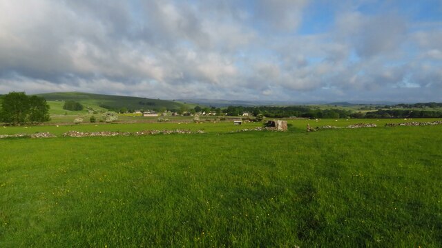
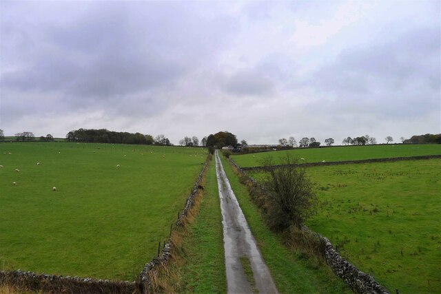
Biggin is a small village located in the Derbyshire Dales district of Derbyshire, England. Situated on the River Dove, the village is nestled within the picturesque landscapes of the White Peak area of the Peak District National Park. With a population of around 400 residents, Biggin offers a tranquil and rural setting.
The village is renowned for its historic charm, with many traditional limestone houses and buildings dating back centuries. The centerpiece of Biggin is the All Saints Church, a Grade II listed building that dates back to the 13th century. The church's architecture showcases a mix of Norman and Gothic styles, making it a popular attraction for visitors interested in history and architecture.
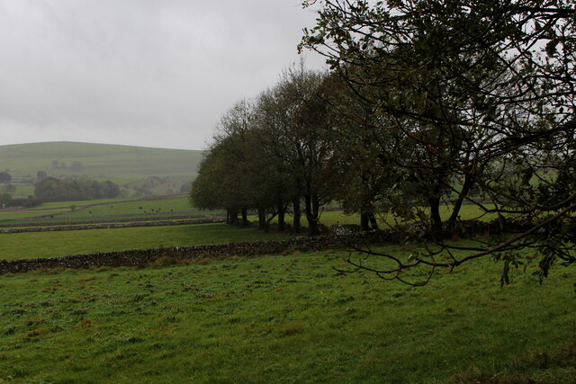
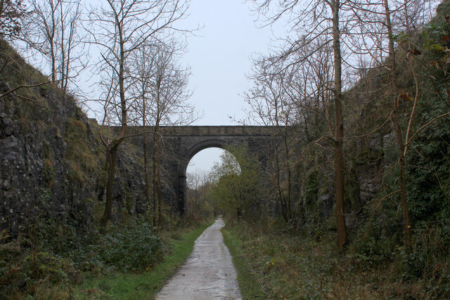
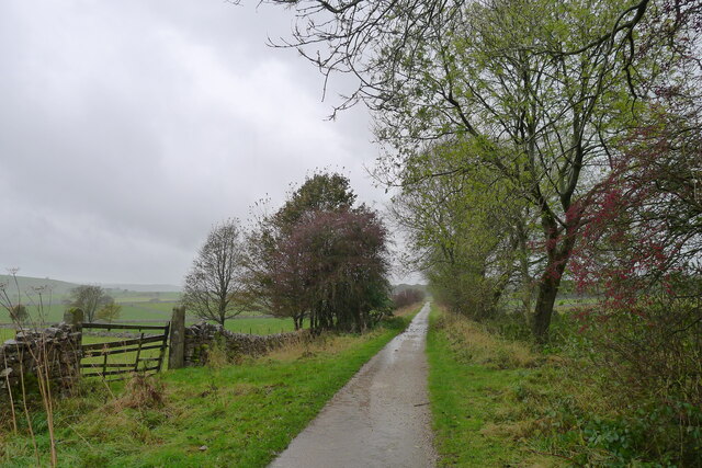
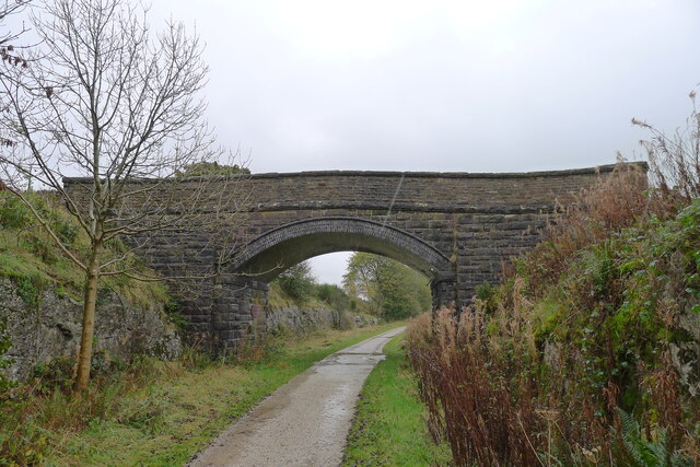
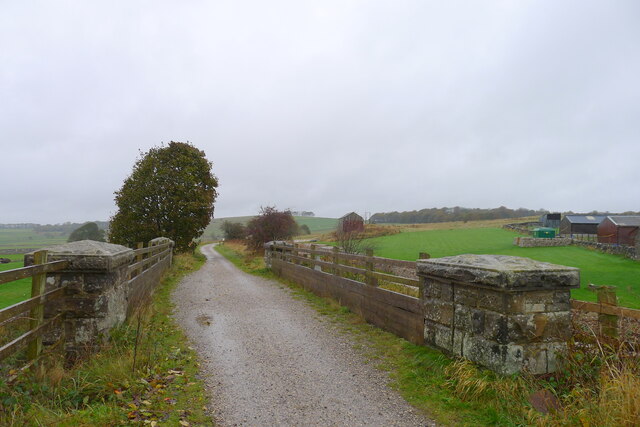
Nature lovers are drawn to Biggin for its stunning surroundings, as it is surrounded by rolling hills, meadows, and limestone dales. The nearby Biggin Dale is a designated Site of Special Scientific Interest (SSSI) due to its diverse flora and fauna, providing excellent opportunities for walking, hiking, and wildlife spotting.
While Biggin is primarily a residential village, it does offer a few amenities to its residents and visitors. These include a village pub, The Waterloo Inn, which provides a cozy atmosphere and serves classic pub food. Additionally, there is a small village shop for basic necessities.
Overall, Biggin offers a charming and peaceful retreat for those seeking a quintessential English village experience, surrounded by natural beauty and a rich historical heritage.
If you have any feedback on the listing, please let us know in the comments section below.
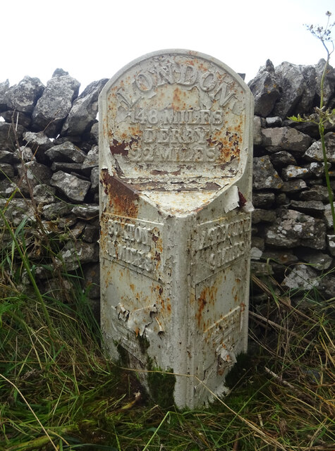
Biggin Images
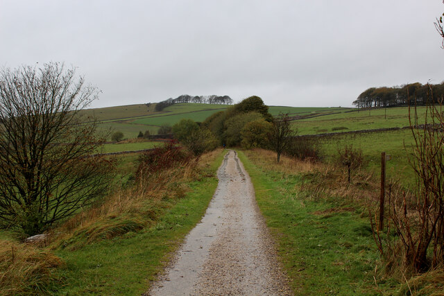
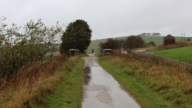
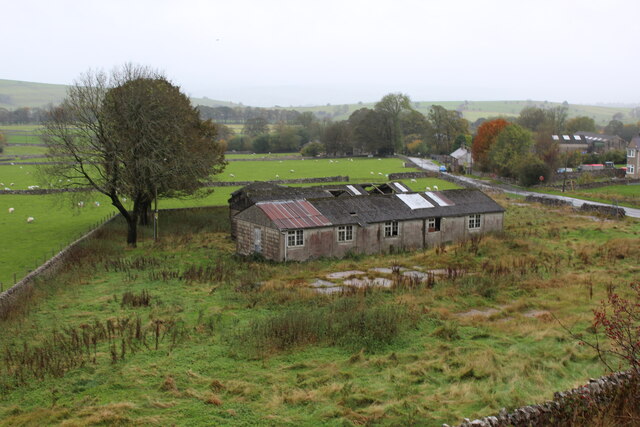
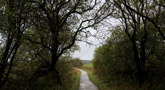
Images are sourced within 2km of 53.131044/-1.7695269 or Grid Reference SK1559. Thanks to Geograph Open Source API. All images are credited.


Biggin is located at Grid Ref: SK1559 (Lat: 53.131044, Lng: -1.7695269)
Administrative County: Derbyshire
District: Derbyshire Dales
Police Authority: Derbyshire
What 3 Words
///recover.buildings.dinner. Near Newhaven, Derbyshire
Nearby Locations
Related Wikis

Biggin (Dovedale and Parwich Ward)
Biggin is a village in the Derbyshire Dales district of Derbyshire, England. It is part of the Hartington Nether Quarter parish, and is in the Peak District...

Hartington Nether Quarter
Hartington Nether Quarter is a civil parish in the Derbyshire Dales district of Derbyshire, England. The parish was created from the subdivision of the...

Newhaven, Derbyshire
Newhaven is a hamlet in the county of Derbyshire, England, east of Hartington and west of Cromford. The principal employer in the area is DSF Refractories...
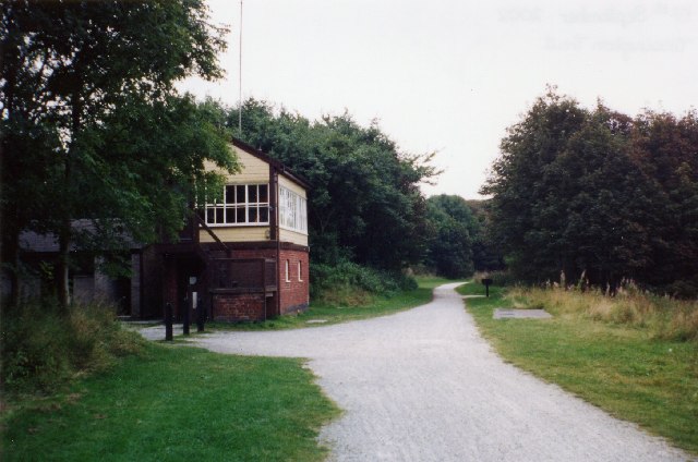
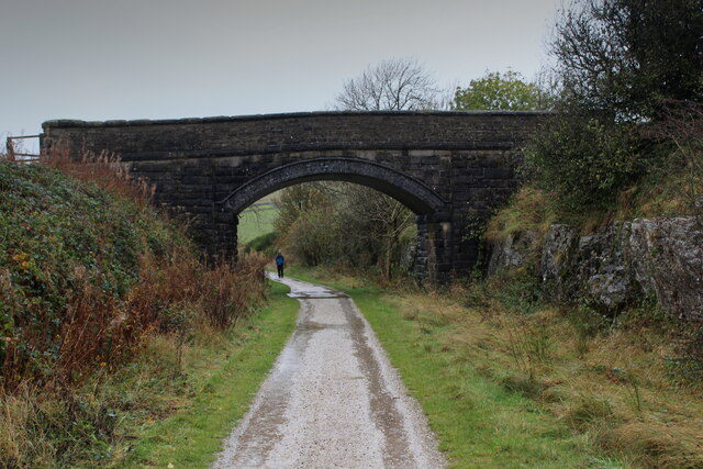
Hartington railway station
Hartington railway station is a former railway station which operated from 1899 to 1963. It was built to serve the village of Hartington (grid reference...
Friden, Derbyshire
Friden is a hamlet in the civil parish of Hartington Nether Quarter, Derbyshire, England. It is 11 miles (18 km) south-east of Buxton, just off the Newhaven...

Wolfscote Hill
Wolfscote Hill is a limestone hill near the village of Hartington in the Derbyshire Peak District. The summit is 388 metres (1,273 ft) above sea level...

Friden Goods Yard
Friden Goods Yard was a goods station located on the Cromford and High Peak Railway near the villages of Friden in Derbyshire. Mostly for moving mineral...

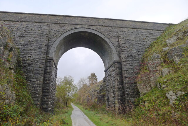
High Peak Trail
The High Peak Trail is a 17-mile (27 km) trail for walkers, cyclists and horse riders in the Peak District of England. Running from Dowlow (53.2059°N 1...
Nearby Amenities
Located within 500m of 53.131044,-1.7695269Have you been to Biggin?
Leave your review of Biggin below (or comments, questions and feedback).