Newport
Settlement in Hampshire
England
Newport
Newport is a small Hampshire village located in the southern region of England. Situated in the district of the New Forest, Newport is surrounded by picturesque countryside, offering residents and visitors alike a peaceful and scenic environment.
The village itself is home to a close-knit community, with a population of around 1,500 residents. The local economy is primarily based on agriculture and tourism, benefiting from its proximity to the New Forest National Park, which attracts numerous visitors each year.
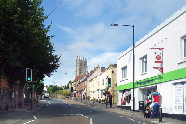
Newport boasts a rich history, dating back to the medieval period. The village is known for its charming thatched cottages and historic buildings, including the beautiful All Saints Church, which dates back to the 12th century. The church is a focal point of the community, hosting regular services and community events.
Despite its small size, Newport offers several amenities to its residents. These include a primary school, a village hall, and a local pub. The village also has a local convenience store, ensuring that residents have access to essential goods.
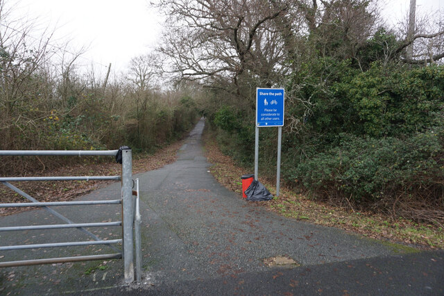
The surrounding countryside provides ample opportunities for outdoor activities such as hiking, cycling, and horse riding. The New Forest National Park is a short distance away, offering stunning landscapes and diverse wildlife.
Overall, Newport is a peaceful and idyllic village, perfect for those seeking a tranquil lifestyle amidst the beauty of the English countryside.
If you have any feedback on the listing, please let us know in the comments section below.
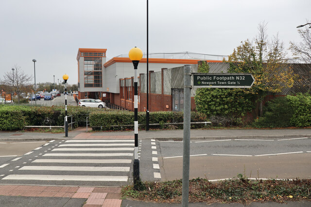
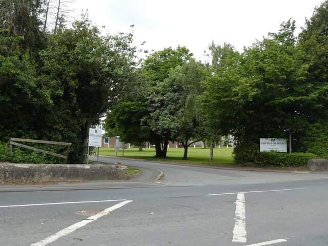
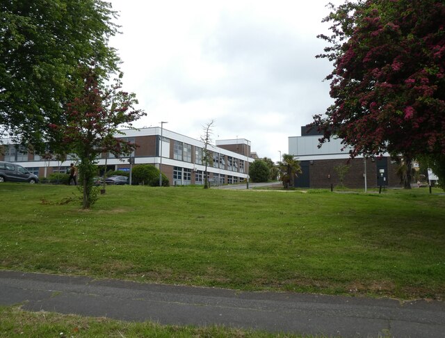
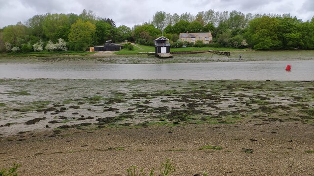
Newport Images
Images are sourced within 2km of 50.702178/-1.302839 or Grid Reference SZ4989. Thanks to Geograph Open Source API. All images are credited.


Newport is located at Grid Ref: SZ4989 (Lat: 50.702178, Lng: -1.302839)
Unitary Authority: Isle of Wight
Police Authority: Hampshire
What 3 Words
///retained.instance.operation. Near Newport, Isle of Wight
Nearby Locations
Related Wikis

Drill Hall Road Army Reserve Centre, Newport, Isle of Wight
The Drill Hall Road Army Reserve Centre is a military installation in Newport, Isle of Wight. == History == The building was designed as the headquarters...

Newport railway station (Freshwater, Yarmouth and Newport Railway)
Newport FYN railway station was a railway station at Newport, Isle of Wight, off the south coast of England. For ten years it was the alternative terminus...
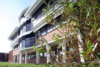
Isle of Wight College
Isle of Wight College is a general college of further and higher education in Newport on the Isle of Wight. The college runs University Centre Isle of...

Victoria Recreation Ground
Victoria Recreation Ground is a park located on Recreation Ground Road, just off Carisbrooke Road, in Newport, on the Isle of Wight, England. It was opened...
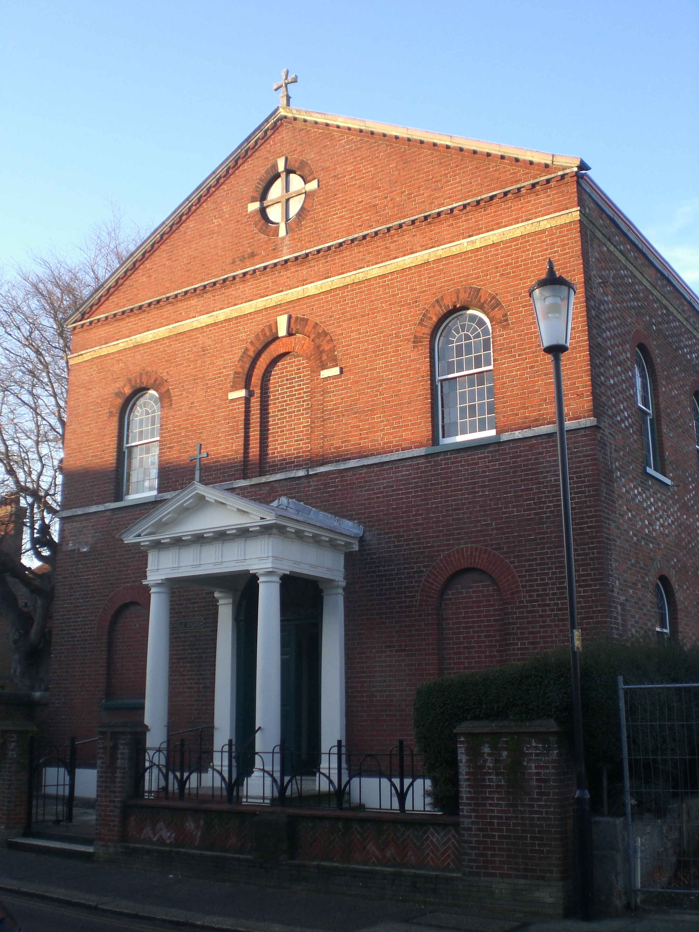
St Thomas of Canterbury Church, Newport, Isle of Wight
Saint Thomas of Canterbury church is a church serving the Catholic population of Newport, Isle of Wight, UK. It was the first purpose-built Catholic church...

Newport railway station (Isle of Wight Central Railway)
Newport railway station was established in 1862 with the opening of the Cowes and Newport Railway. It was enlarged in December 1875 when the lines to Ryde...

Sts Thomas Minster
Sts Thomas Minster, Newport Minster or The Minster Church of Sts Thomas, until 2008 Sts Thomas Church, is civically recognised as the main Anglican church...
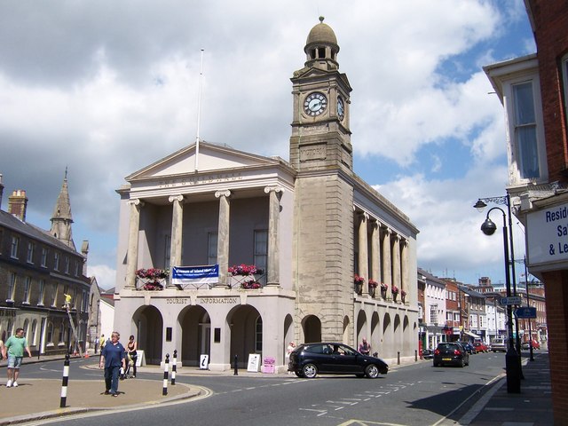
Newport Guildhall, Isle of Wight
Newport Guildhall is a municipal structure in the High Street in Newport, Isle of Wight, England. The guildhall, which was the headquarters of Newport...
Nearby Amenities
Located within 500m of 50.702178,-1.302839Have you been to Newport?
Leave your review of Newport below (or comments, questions and feedback).