Newport
Settlement in Dorset
England
Newport
Newport is a small village located in the county of Dorset, England. Situated near the Isle of Portland, it lies approximately four miles south of Weymouth and about 135 miles southwest of London. With a population of around 1,500 inhabitants, Newport is a peaceful and close-knit community.
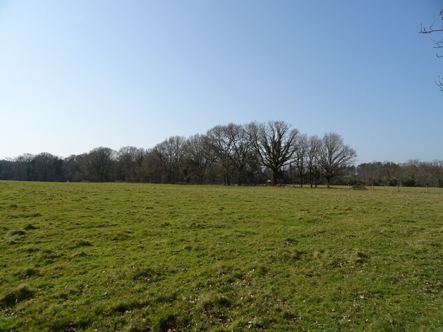
The village is set in a picturesque coastal area, boasting stunning views of the English Channel and the Jurassic Coastline, a UNESCO World Heritage Site. Its proximity to the coast makes it an attractive destination for tourists looking to explore the natural beauty of Dorset.
Newport is known for its charming 18th-century cottages and traditional thatched roofs, which add to its quaint and idyllic atmosphere. The village also offers a range of amenities for its residents and visitors, including a primary school, a local pub, and a village hall.
For those interested in history, Newport has a rich past. The nearby ruins of Rufus Castle, a medieval fortress dating back to the 12th century, are a popular attraction. Additionally, the village is close to the famous Durdle Door, a natural limestone arch that has become an iconic symbol of the Jurassic Coast.
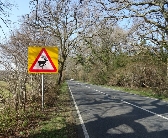
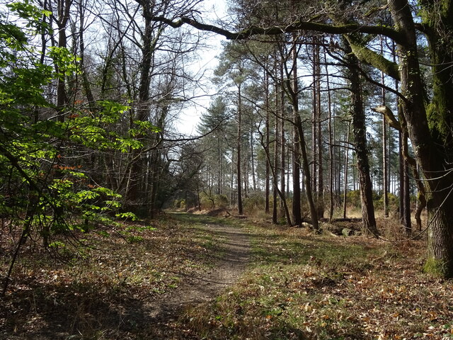
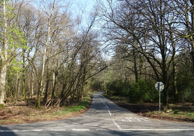
Outdoor enthusiasts can enjoy a variety of activities in and around Newport, including hiking, cycling, and exploring the surrounding countryside. The village is also well-connected, with good transport links to nearby towns and cities, making it an ideal base for exploring the wider Dorset area.
Overall, Newport, Dorset offers a tranquil and picturesque setting, combined with a rich history and easy access to the stunning Jurassic Coastline.
If you have any feedback on the listing, please let us know in the comments section below.
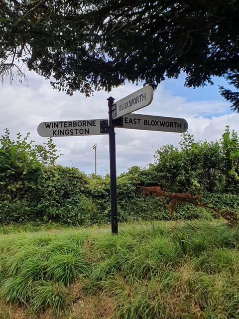
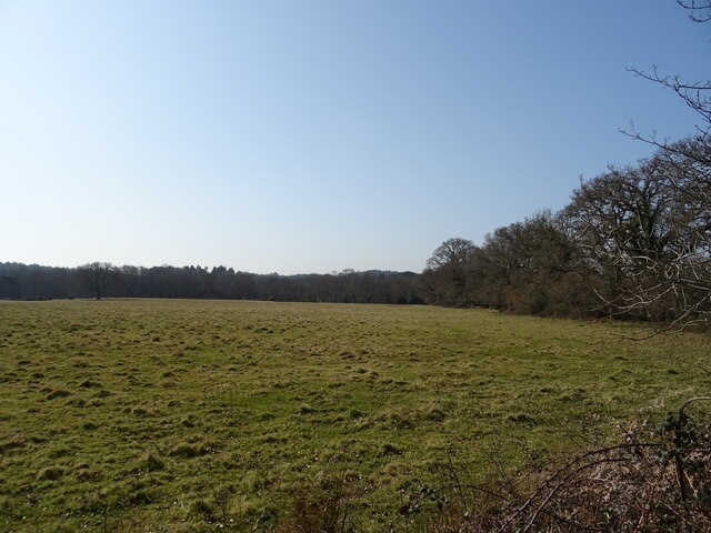
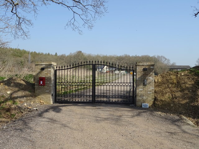
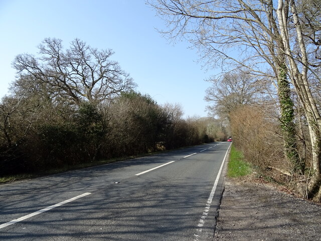
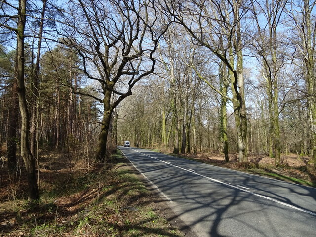
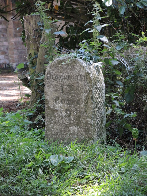
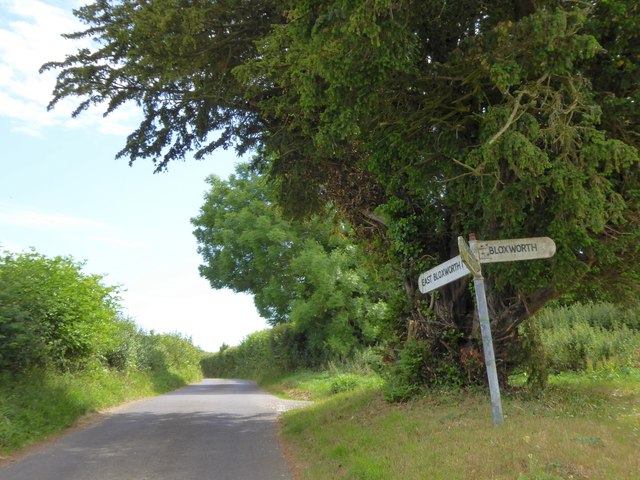
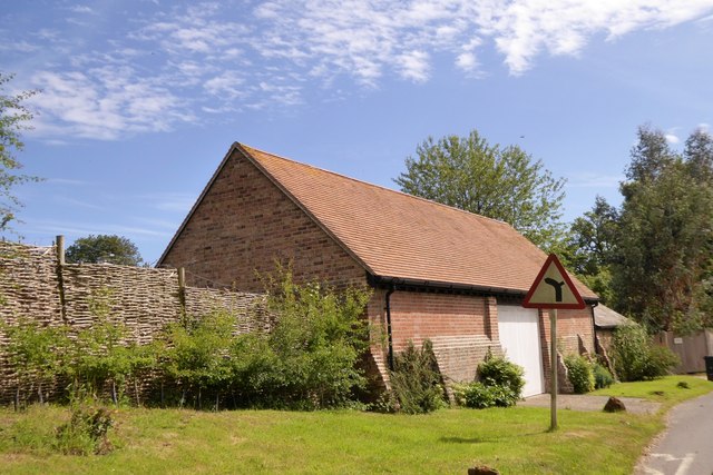
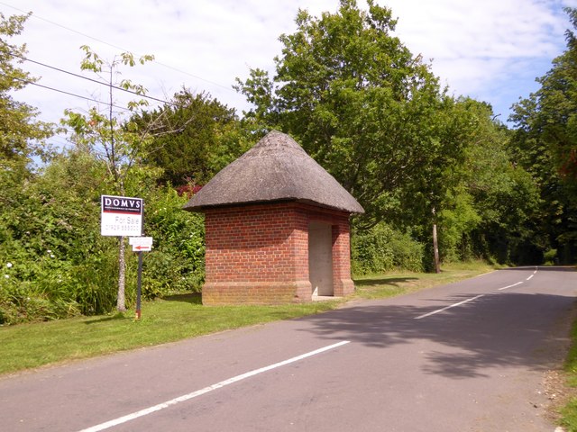
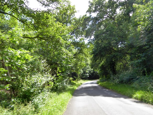
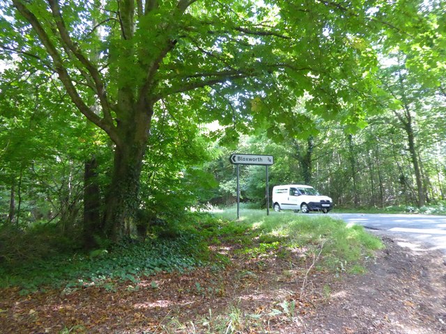
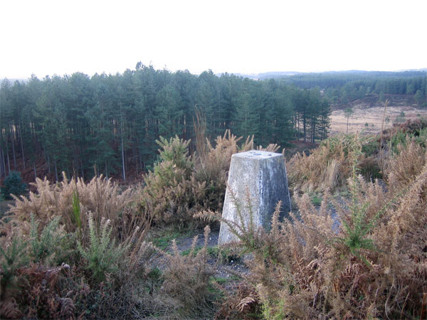
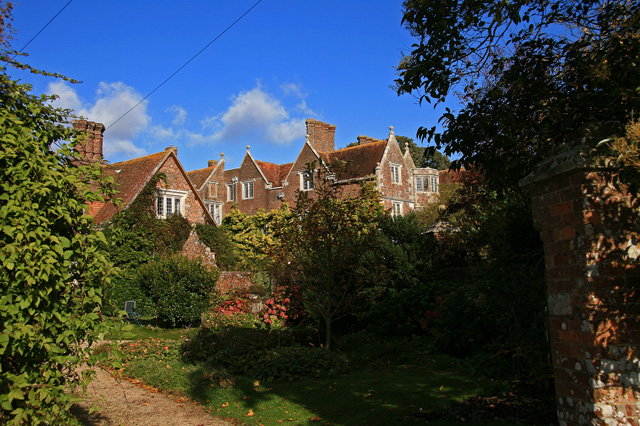
Newport Images
Images are sourced within 2km of 50.745479/-2.1714457 or Grid Reference SY8894. Thanks to Geograph Open Source API. All images are credited.


Newport is located at Grid Ref: SY8894 (Lat: 50.745479, Lng: -2.1714457)
Unitary Authority: Dorset
Police Authority: Dorset
What 3 Words
///closer.frightens.doghouse. Near Bere Regis, Dorset
Nearby Locations
Related Wikis

Bloxworth
Bloxworth is a village and civil parish in the English county of Dorset, within Wareham Forest on the A35 road 5 miles (8 km) west of Poole. In the 2011...

Bloxworth House
Bloxworth House is a Grade I listed manor house just northwest of the village of Bloxworth in Dorset, England. It was built in 1608 by George Savage and...
Woolsbarrow Hillfort
Woolsbarrow Hillfort is a hillfort on Bloxworth Heath in the district of Purbeck in the county of Dorset, England. It dates to the period from the Late...
Bere Stream
Bere Stream (grid reference SY860926) is an 11.2 hectare biological Site of Special Scientific Interest in Dorset, notified in 1977. == Sources == English...

Woodbury Hill, Dorset
Woodbury Hill is a hill near Bere Regis in Dorset, England. It is the site of an Iron Age hillfort (a scheduled monument), and the location of an annual...
Loosebarrow Hundred
Loosebarrow Hundred was a hundred in the county of Dorset, England, containing the following parishes: Almer Morden Spetisbury == See also == List of...
Wareham Forest
Wareham Forest is an area of countryside in Dorset, England, consisting of open heathland, including Decoy Heath and Gore Heath, and plantations of conifers...
Anderson, Dorset
Anderson, sometimes known as Winterborne Anderson, is a small village and civil parish in Dorset, England, situated in the North Dorset administrative...
Have you been to Newport?
Leave your review of Newport below (or comments, questions and feedback).