Derham's Coppice
Wood, Forest in Dorset
England
Derham's Coppice
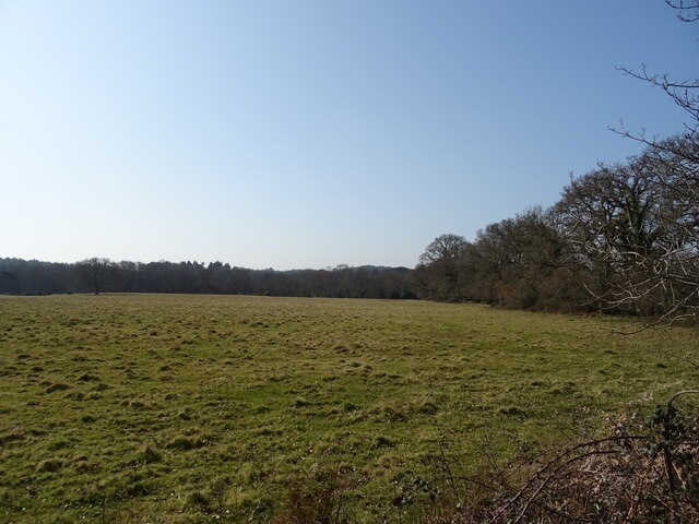
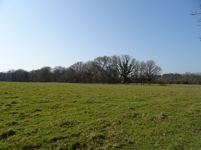
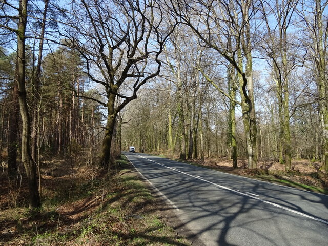
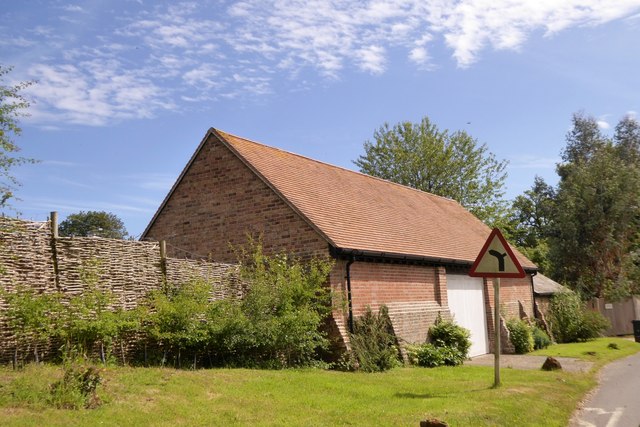
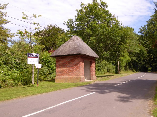
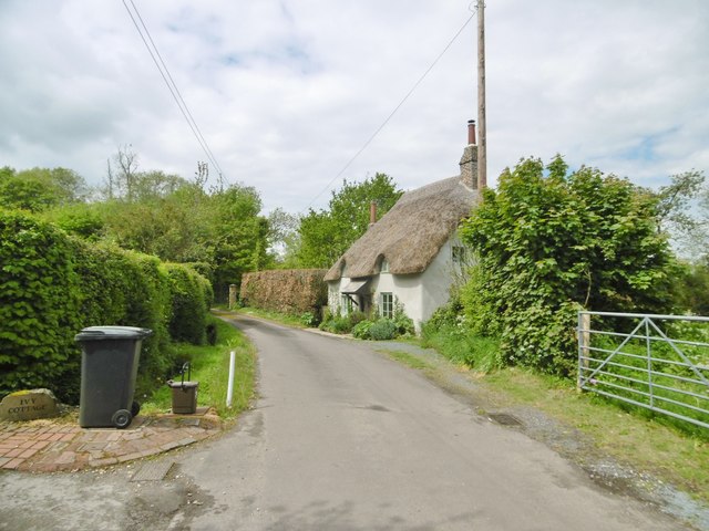
Derham's Coppice is a charming wood located in the county of Dorset, England. Covering an area of approximately 100 acres, it is a significant part of the local landscape and a popular destination for nature enthusiasts and hikers.
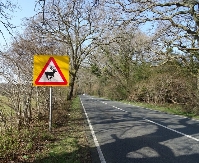
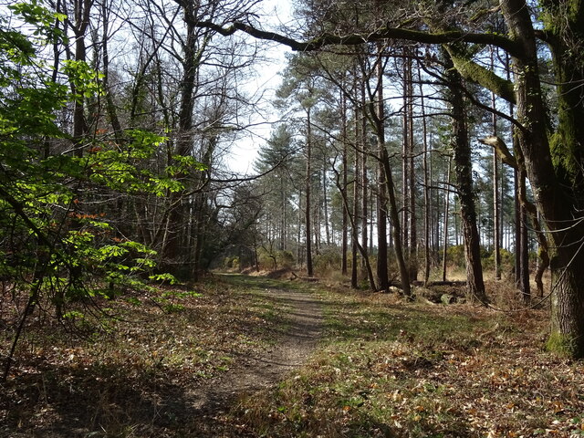
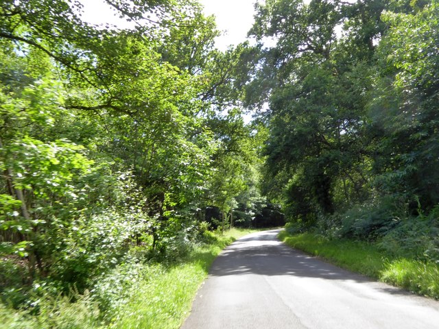
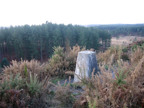
The coppice is primarily comprised of deciduous trees, including oak, beech, and ash, which create a diverse and vibrant ecosystem. The dense foliage provides a haven for an array of wildlife, including deer, badgers, and a variety of bird species. Visitors to the coppice can often spot these creatures in their natural habitat, making it a wonderful location for wildlife observation and photography.
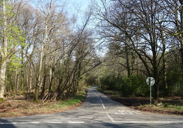
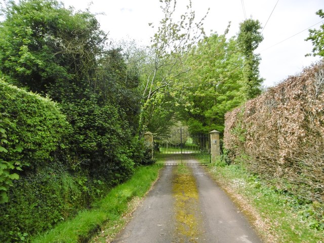
The woodland is crisscrossed with a network of well-maintained footpaths, allowing visitors to explore the area at their leisure. These paths wind their way through the towering trees, providing picturesque views of the surrounding countryside. The coppice also features a small stream, adding to its natural beauty and providing a peaceful backdrop for picnics or relaxation.
Derham's Coppice is not only prized for its natural beauty but also for its historical significance. The wood has been traditionally managed using coppicing techniques for centuries. This traditional method involves periodically cutting back certain trees to promote new growth and provide a sustainable source of wood. This practice has helped to maintain the health and biodiversity of the woodland over the years.
Overall, Derham's Coppice is a treasured natural gem in Dorset, offering visitors the chance to immerse themselves in nature and experience the tranquility of a traditional English wood.
If you have any feedback on the listing, please let us know in the comments section below.
Derham's Coppice Images
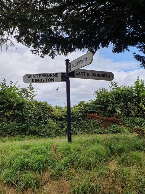
Images are sourced within 2km of 50.747487/-2.1634306 or Grid Reference SY8894. Thanks to Geograph Open Source API. All images are credited.
Derham's Coppice is located at Grid Ref: SY8894 (Lat: 50.747487, Lng: -2.1634306)
Unitary Authority: Dorset
Police Authority: Dorset
What 3 Words
///encourage.hurt.proof. Near Bere Regis, Dorset
Nearby Locations
Related Wikis

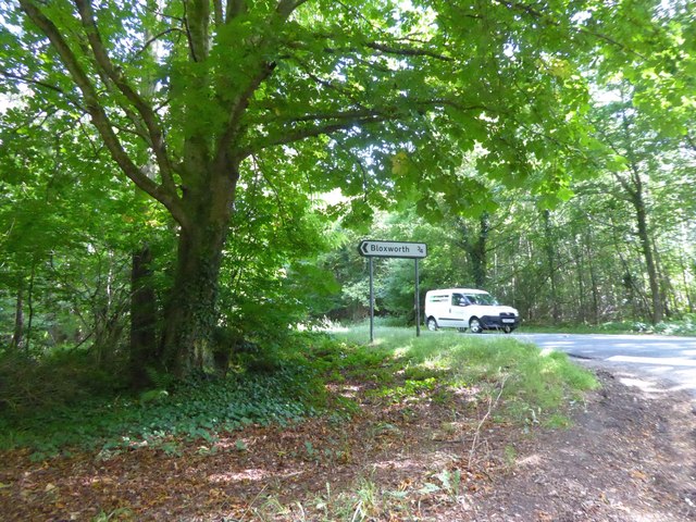
Bloxworth
Bloxworth is a village and civil parish in the English county of Dorset, within Wareham Forest on the A35 road 5 miles (8 km) west of Poole. In the 2011...

Bloxworth House
Bloxworth House is a Grade I listed manor house just northwest of the village of Bloxworth in Dorset, England. It was built in 1608 by George Savage and...
Woolsbarrow Hillfort
Woolsbarrow Hillfort is a hillfort on Bloxworth Heath in the district of Purbeck in the county of Dorset, England. It dates to the period from the Late...
Loosebarrow Hundred
Loosebarrow Hundred was a hundred in the county of Dorset, England, containing the following parishes: Almer Morden Spetisbury == See also == List of...

Woodbury Hill, Dorset
Woodbury Hill is a hill near Bere Regis in Dorset, England. It is the site of an Iron Age hillfort (a scheduled monument), and the location of an annual...
Bere Stream
Bere Stream (grid reference SY860926) is an 11.2 hectare biological Site of Special Scientific Interest in Dorset, notified in 1977. == Sources == English...
Morden, Dorset
Morden (otherwise Moreden) is a civil parish in the Purbeck district of south Dorset, England. Morden is about 6 miles (10 km) north-west of Poole. At...
Winterborne Tomson
Winterborne Tomson is a village and former civil parish, now in the parish of Anderson, in the Dorset, district, in the ceremonial county of Dorset, England...
Nearby Amenities
Located within 500m of 50.747487,-2.1634306Have you been to Derham's Coppice?
Leave your review of Derham's Coppice below (or comments, questions and feedback).