Woodlake
Settlement in Dorset
England
Woodlake
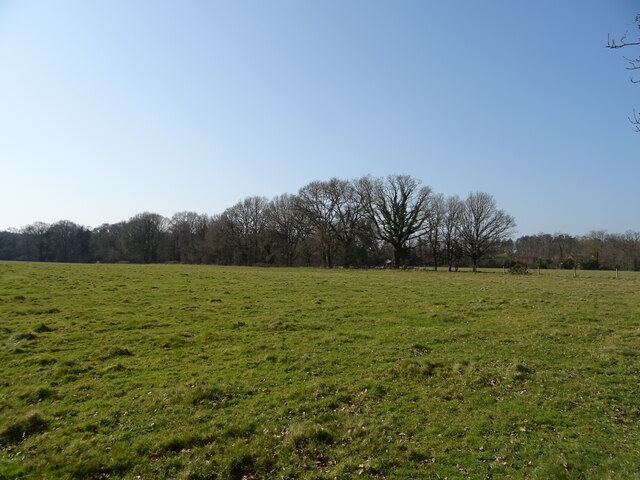
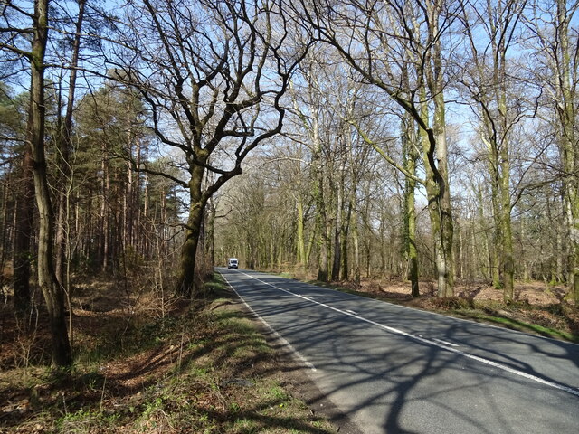
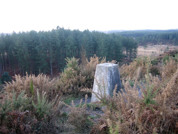
Woodlake is a small village located in the county of Dorset, England. Situated in the picturesque Dorset Downs, it is surrounded by stunning natural beauty and offers a tranquil and peaceful environment for its residents. The village is nestled amidst rolling green hills, with a charming countryside atmosphere that attracts visitors seeking an escape from the bustling city life.
Woodlake is known for its idyllic setting, featuring a picturesque lake that adds to the village's charm. The lake not only provides a serene backdrop but also offers recreational activities such as fishing, boating, and picnicking, making it a popular spot for both locals and tourists.
The village itself is a tight-knit community, with a small population that fosters a friendly and welcoming atmosphere. It boasts a range of amenities to cater to the needs of its residents, including a local pub that serves traditional English fare, a village shop for everyday essentials, and a primary school for the village's children.
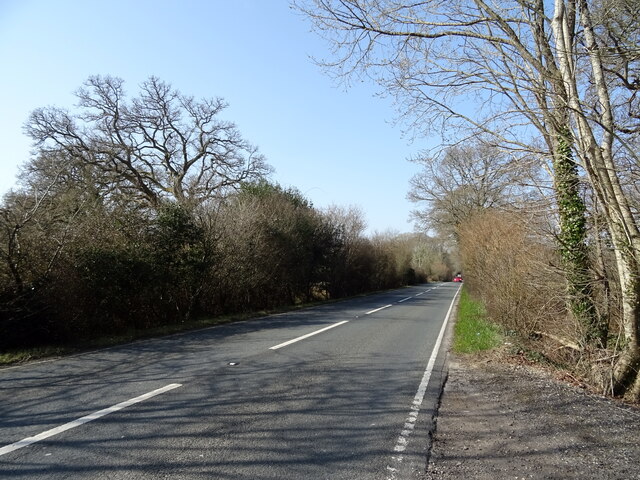
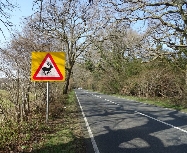
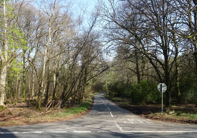
In terms of transportation, Woodlake is well-connected to the surrounding areas. It is conveniently located near major road networks, making it easily accessible by car. Additionally, there are regular bus services that connect the village to nearby towns and cities.
Overall, Woodlake, Dorset offers a tranquil and charming environment, making it an ideal place for those seeking a peaceful retreat amidst the beauty of the Dorset Downs.
If you have any feedback on the listing, please let us know in the comments section below.
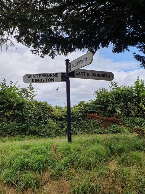
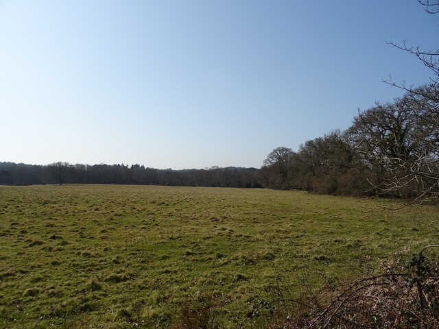
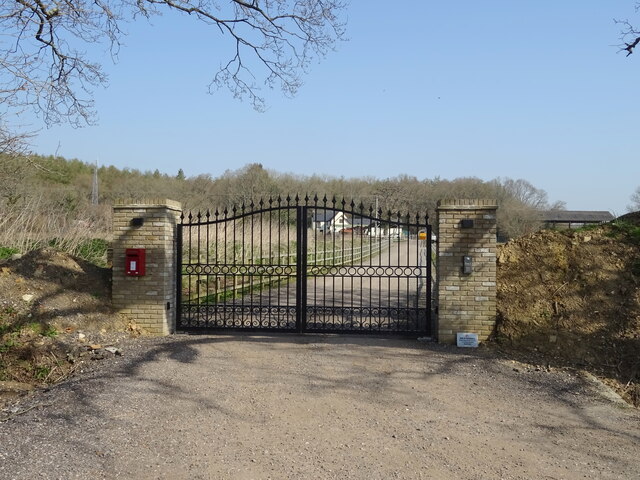
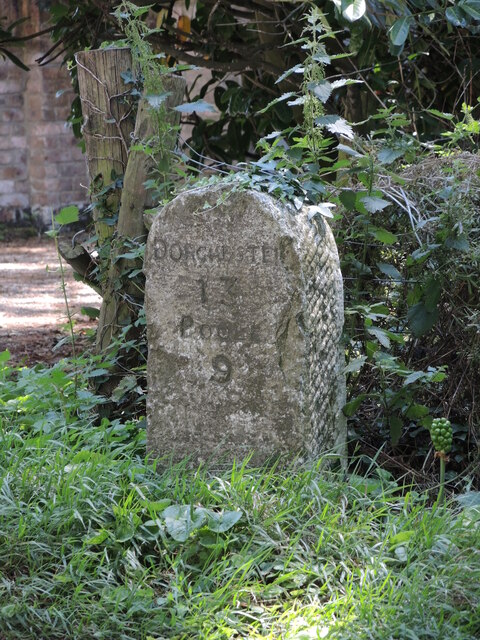
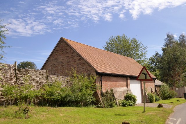
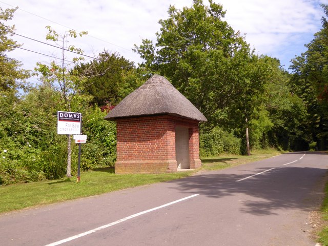
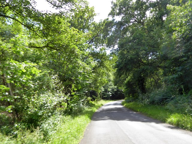
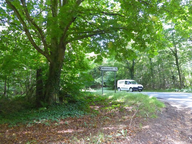
Woodlake Images
Images are sourced within 2km of 50.745479/-2.1714457 or Grid Reference SY8894. Thanks to Geograph Open Source API. All images are credited.


Woodlake is located at Grid Ref: SY8894 (Lat: 50.745479, Lng: -2.1714457)
Unitary Authority: Dorset
Police Authority: Dorset
What 3 Words
///closer.frightens.doghouse. Near Bere Regis, Dorset
Nearby Locations
Related Wikis

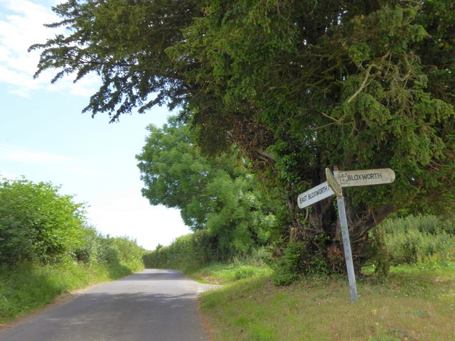
Bloxworth
Bloxworth is a village and civil parish in the English county of Dorset, within Wareham Forest on the A35 road 5 miles (8 km) west of Poole. In the 2011...

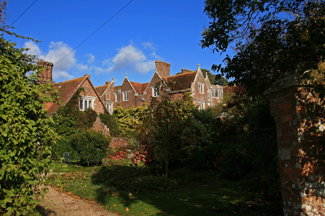
Bloxworth House
Bloxworth House is a Grade I listed manor house just northwest of the village of Bloxworth in Dorset, England. It was built in 1608 by George Savage and...
Woolsbarrow Hillfort
Woolsbarrow Hillfort is a hillfort on Bloxworth Heath in the district of Purbeck in the county of Dorset, England. It dates to the period from the Late...
Bere Stream
Bere Stream (grid reference SY860926) is an 11.2 hectare biological Site of Special Scientific Interest in Dorset, notified in 1977. == Sources == English...

Woodbury Hill, Dorset
Woodbury Hill is a hill near Bere Regis in Dorset, England. It is the site of an Iron Age hillfort (a scheduled monument), and the location of an annual...
Loosebarrow Hundred
Loosebarrow Hundred was a hundred in the county of Dorset, England, containing the following parishes: Almer Morden Spetisbury == See also == List of...
Wareham Forest
Wareham Forest is an area of countryside in Dorset, England, consisting of open heathland, including Decoy Heath and Gore Heath, and plantations of conifers...
Anderson, Dorset
Anderson, sometimes known as Winterborne Anderson, is a small village and civil parish in Dorset, England, situated in the North Dorset administrative...
Have you been to Woodlake?
Leave your review of Woodlake below (or comments, questions and feedback).