Woodland

Settlement in Durham

England

Woodland

War memorial at Woodland Woodland's war memorial resembles a chimney! The building behind it is presumably a chapel of some kind.
War memorial at Woodland Credit: Trevor Littlewood

Woodland is a small village situated in County Durham, England. It is located about 7 miles west of Durham city and lies in the beautiful countryside of the North Pennines Area of Outstanding Natural Beauty. The village is surrounded by picturesque landscapes, including rolling hills, dense woodlands, and charming meadows.

Woodland is a close-knit community with a population of around 400 residents. The village is known for its peaceful and tranquil atmosphere, making it an ideal place for those seeking a rural lifestyle. The residents of Woodland are friendly and welcoming, creating a strong sense of community spirit.

The village has a few amenities to cater to the needs of its inhabitants. These include a local pub, a village hall, and a primary school, which serves the village and the surrounding area. For additional services and facilities, residents have easy access to nearby towns such as Crook and Durham, where they can find a wider range of shops, restaurants, and leisure activities.

Woodland is well-connected by road, with the A689 passing close by, providing easy access to nearby towns and cities. The village also benefits from regular bus services, connecting it to the wider region.

For nature enthusiasts, Woodland offers a wealth of outdoor activities, including scenic walks, cycling routes, and birdwatching opportunities. The area is rich in wildlife and boasts several nature reserves nearby.

Overall, Woodland is a charming village that offers a peaceful and picturesque lifestyle, with easy access to both rural and urban amenities.

If you have any feedback on the listing, please let us know in the comments section below.
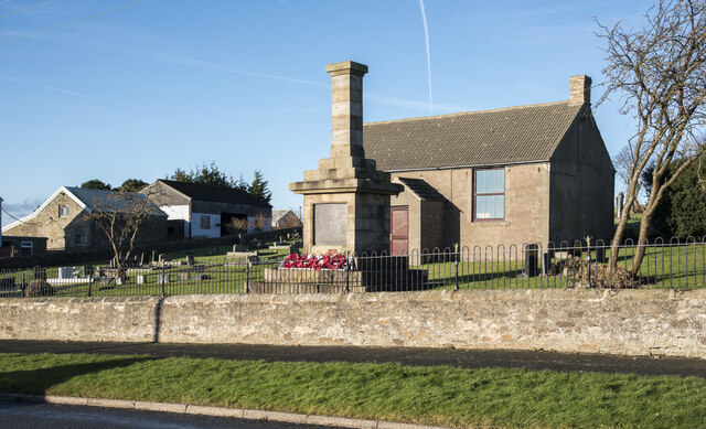
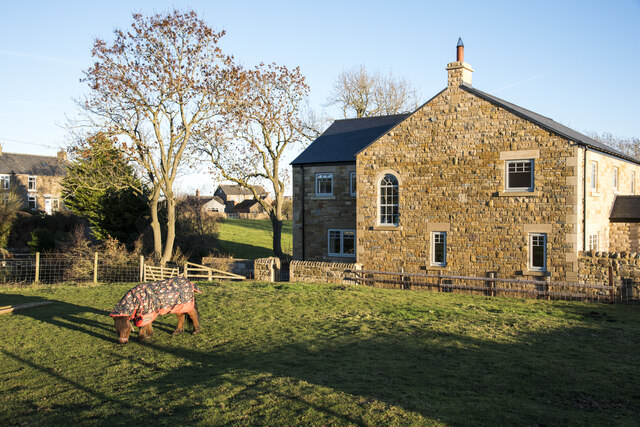
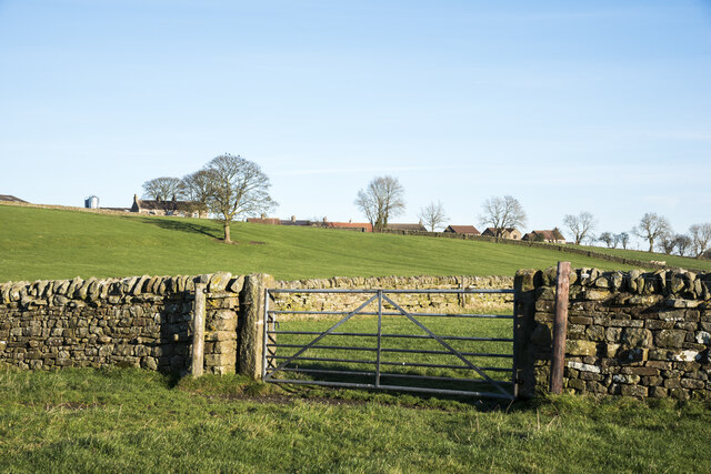
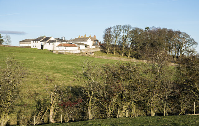
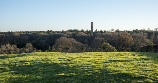
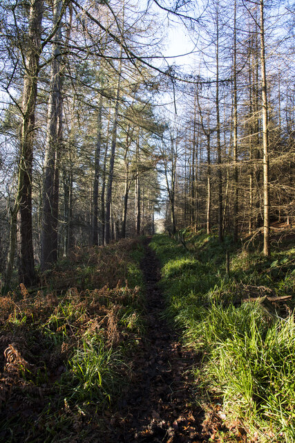
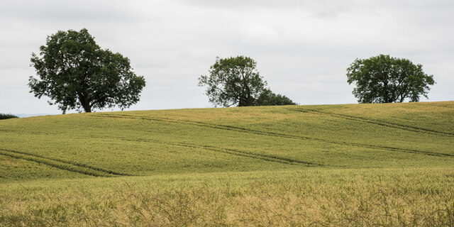
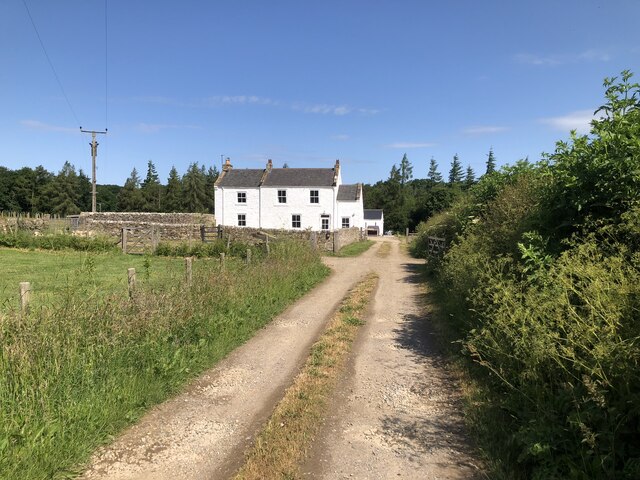
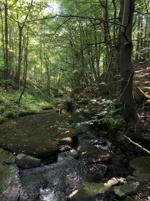
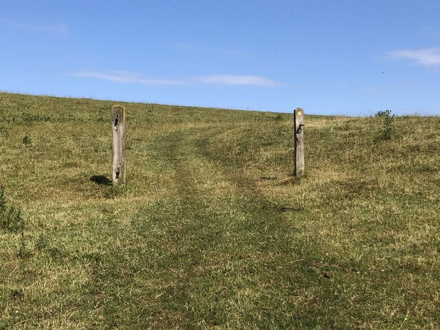
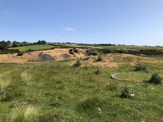
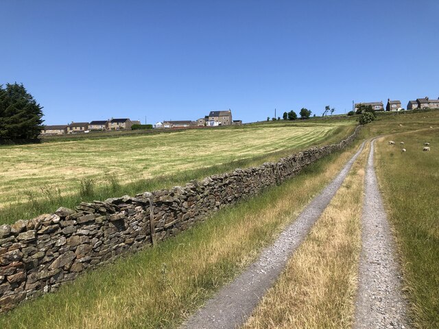
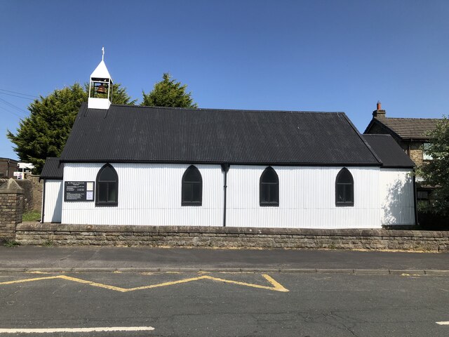
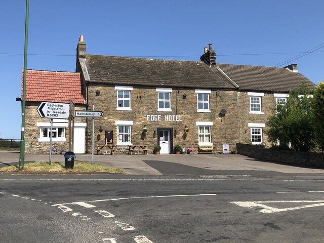
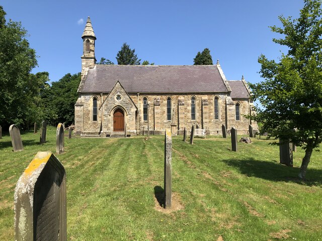
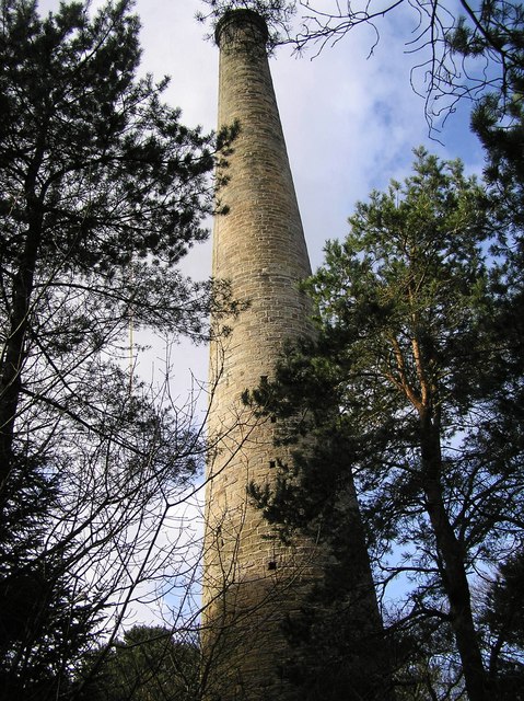
Woodland Images

Images are sourced within 2km of 54.632894/-1.889547 or Grid Reference NZ0726. Thanks to Geograph Open Source API. All images are credited.

War memorial at Woodland Woodland's war memorial resembles a chimney! The building behind it is presumably a chapel of some kind.
War memorial at Woodland
Woodland's war memorial resembles a chimney! The building behind it is presumably a chapel of some kind.
Small paddock adjacent to house A pony in a coat of many colours is the only occupant of the small enclosure which is presumably part of the property of the house.
Small paddock adjacent to house
A pony in a coat of many colours is the only occupant of the small enclosure which is presumably part of the property of the house.
Roofs of Lane Head beyond walls and gate Lane Head is a small settlement between the larger villages at Woodland and Copley. The view is from close to the line of a public footpath which passes to the left of the nearest tree and then Lynesack Farm beyond it.
Roofs of Lane Head beyond walls and gate
Lane Head is a small settlement between the larger villages at Woodland and Copley. The view is from close to the line of a public footpath which passes to the left of the nearest tree and then Lynesack Farm beyond it.
Buildings at Lunton Hill The collection of buildings constitutes perhaps just one farm; it lies just to the east of Woodland.
Buildings at Lunton Hill
The collection of buildings constitutes perhaps just one farm; it lies just to the east of Woodland.
Hedged field on south side of Copley The ground beyond the small field drops away to the River Gaunless.
The woodland beyond has the grade II listed Copley Chimney which was at the end of a flue rising from the Gaunless Smelt Mill, some remains of which are in the valley.
Hedged field on south side of Copley
The ground beyond the small field drops away to the River Gaunless. The woodland beyond has the grade II listed Copley Chimney which was at the end of a flue rising from the Gaunless Smelt Mill, some remains of which are in the valley.
Bridleway through Cowclose Plantation The path heading west through the plantation on the north side of the River Gaunless. It's attractive enough but being a bridleway its surface is pitted with small hollows having been trodden by horses.
Although named as a plantation the trees are well separated and give the impression of being natural woodland.
Bridleway through Cowclose Plantation
The path heading west through the plantation on the north side of the River Gaunless. It's attractive enough but being a bridleway its surface is pitted with small hollows having been trodden by horses. Although named as a plantation the trees are well separated and give the impression of being natural woodland.
Ripening wheat with trees beyond The field lies to the south of South Wood and is probably land owned at Softley Farm.
Ripening wheat with trees beyond
The field lies to the south of South Wood and is probably land owned at Softley Farm.
Steele House Farm
Steele House Farm
Hindon Beck Hindon beck in Cowclose Wood. The confluence of Hindon Beck and Arn Gill 500 m downstream forms the start of the River Gaunless.
Hindon Beck
Hindon beck in Cowclose Wood. The confluence of Hindon Beck and Arn Gill 500 m downstream forms the start of the River Gaunless.
Former field boundary marked by redundant gateposts
Site of Cowley Colliery Cowley shaft was sunk in 1896 and formed part of Woodland Colliery which closed in the 1920s
Site of Cowley Colliery
Cowley shaft was sunk in 1896 and formed part of Woodland Colliery which closed in the 1920s
Farm track to Woodland
St Mary's Church, Woodland
The Edge Hotel, Woodland
Lunton Hill Farm
Lunton Hill Farm
Church Of St John The Evangelist
Gravestones at St John The Evangelist, Lynesack
Road through the hamlet of Lynesack
Show me another place!

Woodland is located at Grid Ref: NZ0726 (Lat: 54.632894, Lng: -1.889547)

Unitary Authority: County Durham

Police Authority: Durham

What 3 Words

///sweetener.workbook.cornering. Near Cockfield, Co. Durham

Related Wikis

Woodland, County Durham

Woodland is a rural village in County Durham, England. It is situated 1100 feet above sea level, a few miles to the north of Barnard Castle, and west of...

Copley, County Durham

Copley is a village of roughly 400 inhabitants in County Durham, England. It is situated 9 miles west of Bishop Auckland, and 6 miles from Barnard Castle...

Morley, County Durham

Morley is a village in County Durham, England. It is situated five miles to the west of Bishop Auckland (OS grid reference NZ 1127). Morley is first mentioned...

South Side, County Durham

South Side is a village in County Durham, in England. It is situated to the north of Butterknowle, a few miles west of Bishop Auckland. == References... ==

Nearby Amenities

Located within 500m of 54.632894,-1.889547
Woodland
Place: village
Wikidata: Q8032798
Wikipedia: en:Woodland, County Durham
Lat/Long: 54.6324546/-1.8900244
Bus Stop
The Edge
Naptan AtcoCode: 13007435B
Naptan Bearing: NE
Naptan CommonName: The Edge
Naptan Indicator: north east bound
Naptan Landmark: Landmark not known
Naptan NaptanCode: durdwmag
Naptan Notes: 6 Festival Villas- Woodland
Naptan Street: Street not known
Naptan Verified: no
Source: naptan_import
Lat/Long: 54.6336727/-1.8860265
Bus Stop
School House
Naptan AtcoCode: 13007436B
Naptan Bearing: NE
Naptan CommonName: School House
Naptan Indicator: north east bound
Naptan Landmark: Landmark not known
Naptan NaptanCode: durdwmaj
Naptan Notes: School House- Woodlandf
Naptan Street: Street not known
Naptan Verified: no
Source: naptan_import
Lat/Long: 54.6332074/-1.8882276
Bus Stop
School House
Naptan AtcoCode: 13007436F
Naptan Bearing: SW
Naptan CommonName: School House
Naptan Indicator: south west bound
Naptan Landmark: Landmark not known
Naptan NaptanCode: durdwmam
Naptan Notes: opposite School House- Woodland
Naptan Street: Street not known
Naptan Verified: no
Source: naptan_import
Lat/Long: 54.6330995/-1.8881504
Bus Stop
Post Office-The Royal
Naptan AtcoCode: 13007437C
Naptan Bearing: E
Naptan CommonName: Post Office-The Royal
Naptan Indicator: east bound
Naptan Landmark: Landmark not known
Naptan NaptanCode: durdwmap
Naptan Notes: The Royal (PH)- West Terrace (B6282)- Woodland
Naptan Street: Street not known
Naptan Verified: no
Source: naptan_import
Lat/Long: 54.6325818/-1.8919782
Bus Stop
Post Office-The Royal
Naptan AtcoCode: 13007437G
Naptan Bearing: W
Naptan CommonName: Post Office-The Royal
Naptan Indicator: west bound
Naptan Landmark: Landmark not known
Naptan NaptanCode: durdwmat
Naptan Notes: Nearly opposite The Royal (PH)- West Terrace (B6282)- Woodland
Naptan Street: Street not known
Naptan Verified: no
Source: naptan_import
Lat/Long: 54.6324529/-1.8923559
Bus Stop
Farm
Naptan AtcoCode: 13007447H
Naptan Bearing: NW
Naptan BusStopType: MKD
Naptan CommonName: Farm
Naptan Indicator: NW-bound
Naptan NaptanCode: durdwmjg
Naptan Notes: Rowenburn Cottage- Sun Road- B6262- Woodland
Naptan RevisionNumber: 4
Naptan Street: Sun Road
Naptan Verified: no
Old Name: Bus stop
Source: naptan_import
Lat/Long: 54.6314664/-1.8822583
Historic: mine_shaft
Source: OS 1:25k
Lat/Long: 54.6304946/-1.886324
Historic: mine
Mineral: coal
Source: OS 1:25k
Lat/Long: 54.6335375/-1.8875042
Post Box
Post Box Type: lamp
Lat/Long: 54.6326343/-1.8918158
Barrier: stile
Stile: stepover
Lat/Long: 54.6290445/-1.8934435
Barrier: cattle_grid
Lat/Long: 54.6298529/-1.8935324
Barrier: cattle_grid
Lat/Long: 54.6324465/-1.8921484
East Fold Garth
Place: isolated_dwelling
Source Name: OS OpenData StreetView
Lat/Long: 54.6287078/-1.8871594
West Fold Garth
Place: isolated_dwelling
Source Name: OS OpenData StreetView
Lat/Long: 54.6287513/-1.8886989
Barrier: entrance
Lat/Long: 54.6289372/-1.8924078
The Edge Apartment
Tourism: chalet
Lat/Long: 54.6340774/-1.8845992
Post Box
Image: https://www.geograph.org.uk/photo/5911191
Ref: DL13 76
Lat/Long: 54.6339927/-1.8842518
Mount Pleasant Farm
Addr City: Bishop Auckland
Addr Postcode: DL13 5NG
Addr Suburb: Butterknowle
Place: farm
Source Name: OS_OpenData_StreetView
Source Postcode: CodePoint Open
Lat/Long: 54.636059/-1.888935
Defibrillator
Access: yes
Emergency: defibrillator
Opening Hours: 24/7
Lat/Long: 54.633028/-1.8892832
Barrier: entrance
Lat/Long: 54.6324773/-1.891967
Barrier: cattle_grid
Lat/Long: 54.6327768/-1.8895142
Barrier: cattle_grid
Lat/Long: 54.6327372/-1.8900273
Power: pole
Lat/Long: 54.6318666/-1.8868724
Power: pole
Lat/Long: 54.6322811/-1.8881357
Power: pole
Lat/Long: 54.6326902/-1.8893547
Woodland
Information: board
Tourism: information
Lat/Long: 54.6327453/-1.8901527
Bench
Lat/Long: 54.6327492/-1.8902345
Bench
Lat/Long: 54.6320087/-1.8960945
The data included in this document is from www.openstreetmap.org. The data is made available under ODbL.

Have you been to Woodland?

Leave your review of Woodland below (or comments, questions and feedback).