Newport

Settlement in Cornwall

England

Newport

Lidl supermarket, Launceston
Lidl supermarket, Launceston Credit: David Smith

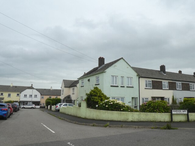
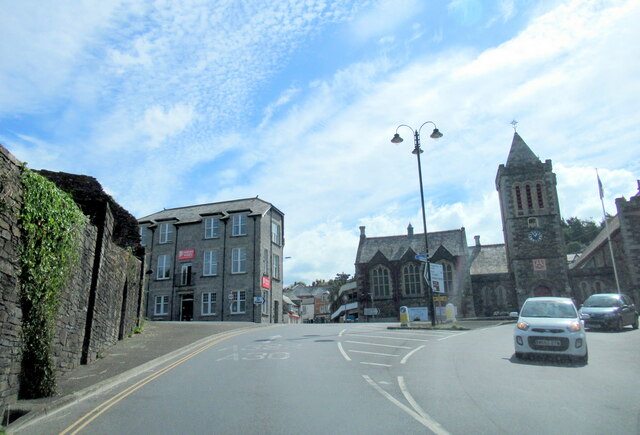
Newport is a charming village located in the county of Cornwall, England. Situated on the north coast of Cornwall, it is nestled within the stunning landscape of the Camel Estuary. With a population of around 1,000 residents, Newport offers a tranquil and picturesque setting for both locals and visitors alike.

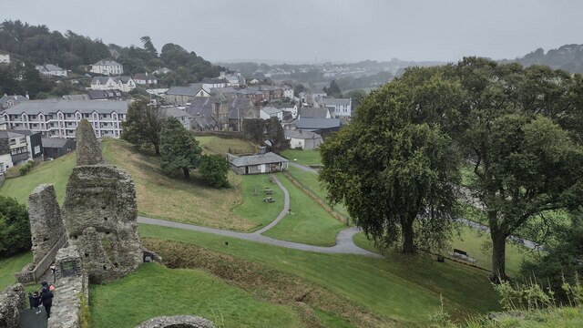
The village boasts a rich history, dating back to the medieval period. Its name is derived from the Old English term for a "new fort," alluding to Newport's origins as a defensive settlement. Today, remnants of its past can still be seen in the form of ancient buildings and structures that add character to the village.

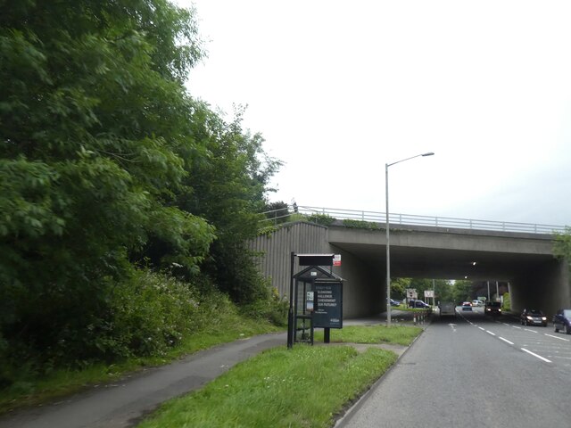
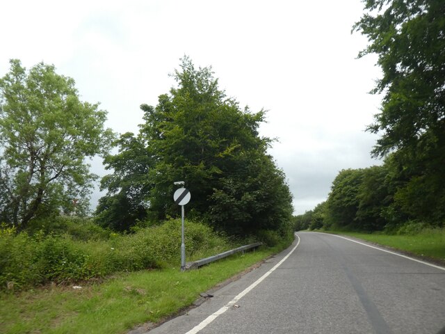
Nature enthusiasts are drawn to Newport for its breathtaking scenery and proximity to the coast. The village is a gateway to the Cornwall Area of Outstanding Natural Beauty, with its rolling green hills and sweeping views of the Atlantic Ocean. The nearby cliffs and beaches offer opportunities for hiking, birdwatching, and water sports.

Newport is also renowned for its vibrant arts and culture scene. The village is home to several art galleries and hosts a variety of cultural events throughout the year, including music festivals and craft fairs. Visitors can immerse themselves in the local creative talent, with many artists and artisans showcasing their work in the village's shops and studios.

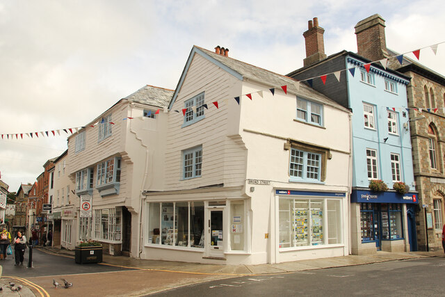
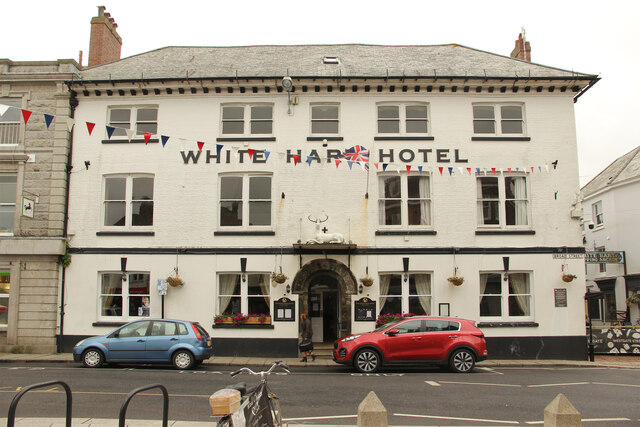
Additionally, Newport boasts a selection of cozy pubs, restaurants, and quaint shops, providing a warm and welcoming atmosphere for locals and tourists to enjoy. With its idyllic setting, historical charm, and natural beauty, Newport is a hidden gem in Cornwall and a must-visit destination for those seeking a peaceful retreat in the heart of the British countryside.

If you have any feedback on the listing, please let us know in the comments section below.
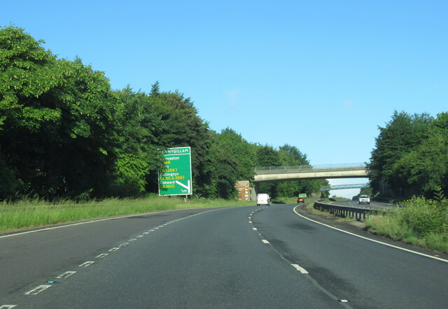
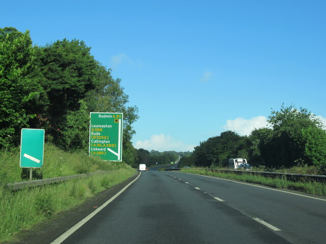
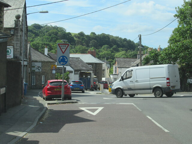
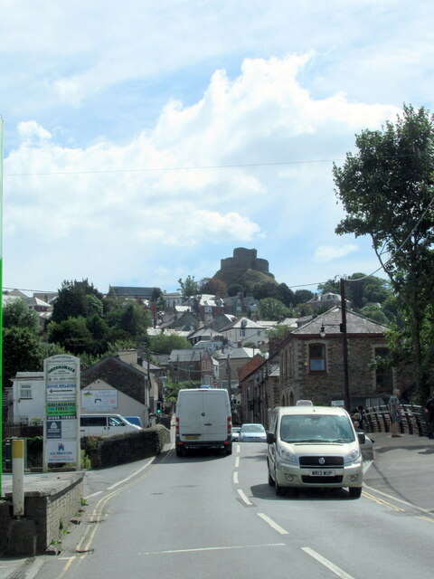
Newport Images

Images are sourced within 2km of 50.641141/-4.364967 or Grid Reference SX3285. Thanks to Geograph Open Source API. All images are credited.

Lidl supermarket, Launceston
Housing estate on Hurdon Road, Launceston
Bus shelter and A30 bridge over Western Road, Launceston
Eastbound on slip road to A30, Launceston The A30 is 284 miles long, from central London to Land's End, historically known as the Great South West Road. The M3 and A303 now are the preferred route for most travellers. Only part of the road is still a trunk road.
Wikipedia: <span class="nowrap"><a title="http://en.wikipedia.org/wiki/A30_road" rel="nofollow ugc noopener" href="http://en.wikipedia.org/wiki/A30_road">Link</a><img style="margin-left:2px;" alt="External link" title="External link - shift click to open in new window" src="https://s1.geograph.org.uk/img/external.png" width="10" height="10"/></span>
Eastbound on slip road to A30, Launceston
The A30 is 284 miles long, from central London to Land's End, historically known as the Great South West Road. The M3 and A303 now are the preferred route for most travellers. Only part of the road is still a trunk road. Wikipedia: LinkExternal link
Castle Green From the tower of Launceston Castle looking down to Castle Green
Castle Green
From the tower of Launceston Castle looking down to Castle Green
Launceston Station Launceston Station on the Launceston Steam Railway with Hunslet 0-4-0ST 'Lilian' waiting in the platform.  The engine is one of the famous Hunset quarry locomotives, many of which were used in the slate quarries of North Wales.
Launceston Station
Launceston Station on the Launceston Steam Railway with Hunslet 0-4-0ST 'Lilian' waiting in the platform. The engine is one of the famous Hunset quarry locomotives, many of which were used in the slate quarries of North Wales.
The A30 west approaching Pennygillam junction
The A30 west at A388 junction for Launceston
Launceston town sign on the A388
The B3284 joining the A388 at Launceston
The A388 crossing the River Kensey in Launceston
Launceston Town Hall
11-13 High Street & 12 Broad Street Grade II* listed pair of 16th Century Merchant's houses. 13 High Street was built for Thomas Hicks in 1555.
11-13 High Street & 12 Broad Street
Grade II* listed pair of 16th Century Merchant's houses. 13 High Street was built for Thomas Hicks in 1555.
White Hart Hotel Grade II listed hostelry on Broad Street with a mid-12th century doorway <a title="https://www.geograph.org.uk/photo/7303975" href="https://www.geograph.org.uk/photo/7303975">Link</a> reputedly from St. Thomas' Priory, but more likely from Launceston Castle.
White Hart Hotel
Grade II listed hostelry on Broad Street with a mid-12th century doorway Link reputedly from St. Thomas' Priory, but more likely from Launceston Castle.
White Hart Hotel doorway Mid-12th century doorway to the White Hart Hotel <a title="https://www.geograph.org.uk/photo/7303970" href="https://www.geograph.org.uk/photo/7303970">Link</a> reputedly from St. Thomas' Priory, but more likely from Launceston Castle.
White Hart Hotel doorway
Mid-12th century doorway to the White Hart Hotel Link reputedly from St. Thomas' Priory, but more likely from Launceston Castle.
Launceston War Memorial Grade II listed First World War memorial in The Square dedicated in 1921
Launceston War Memorial
Grade II listed First World War memorial in The Square dedicated in 1921
Cuthbert Mayne - martyr Commemorative inset stone near the War Memorial in The Square <a title="https://www.geograph.org.uk/photo/7304103" href="https://www.geograph.org.uk/photo/7304103">Link</a> for Cuthbert Mayne <span class="nowrap"><a title="https://en.wikipedia.org/wiki/Cuthbert_Mayne" rel="nofollow ugc noopener" href="https://en.wikipedia.org/wiki/Cuthbert_Mayne">Link</a><img style="margin-left:2px;" alt="External link" title="External link - shift click to open in new window" src="https://s1.geograph.org.uk/img/external.png" width="10" height="10"/></span> martyred Catholic Priest on 29th November 1577.
Cuthbert Mayne - martyr
Commemorative inset stone near the War Memorial in The Square Link for Cuthbert Mayne LinkExternal link martyred Catholic Priest on 29th November 1577.
5 Southgate Place & 1 Exeter Street Grade II listed shops with accommodation above and a datestone of 1881
5 Southgate Place & 1 Exeter Street
Grade II listed shops with accommodation above and a datestone of 1881
Show me another place!

Newport is located at Grid Ref: SX3285 (Lat: 50.641141, Lng: -4.364967)

Unitary Authority: Cornwall

Police Authority: Devon and Cornwall

What 3 Words

///ocean.early.collected. Near Launceston, Cornwall

Related Wikis

Launceston Steam Railway

The Launceston Steam Railway is a 1 ft 11+1⁄2 in (597 mm) narrow gauge railway, in Cornwall, England. The railway operates from the town of Launceston...
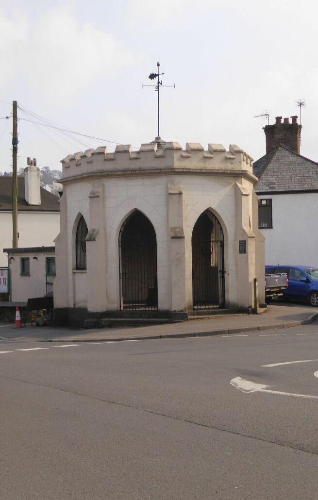
Newport Roundhouse

Newport Roundhouse, formerly known as Newport Town Hall, is a municipal building in Newport Square in Newport, Cornwall, England. The structure, which...

Launceston railway station

Launceston railway station (Cornish: Lannstevan) was situated in Launceston, Cornwall, England, United Kingdom. It was served by both the Great Western...
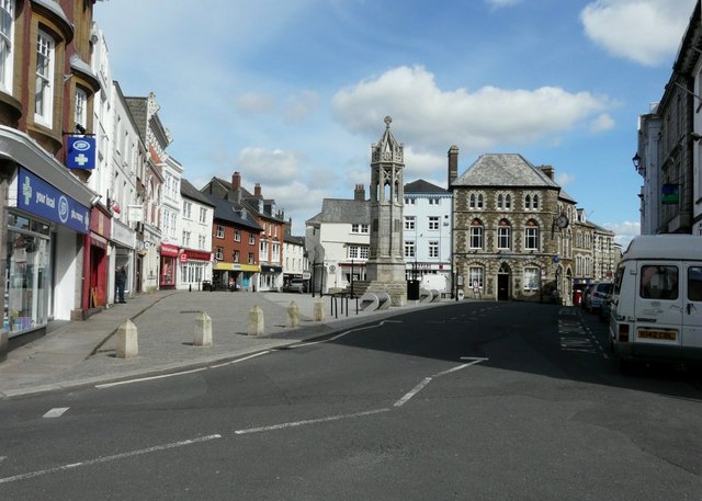
Newport, Cornwall

Newport (Cornish: Porthnowyth) is a suburb of the town of Launceston in Cornwall, England, United Kingdom. Originally a separate settlement, Newport is...

Lawrence House, Launceston

Lawrence House is a Georgian townhouse in Launceston, Cornwall. Built in 1753, the house is a National Trust property and a Grade II* listed building....

Eagle House Hotel

Eagle House Hotel is a Grade II* listed building located in Castle Street, Launceston, Cornwall. Formerly a townhouse, it is now a hotel and is built in...

St Mary Magdalene's Church, Launceston

St Mary Magdalene's Church, Launceston is a Grade I listed parish church in the Church of England in Launceston, Cornwall. It is unusual for its carvings...

Launceston, Cornwall

Launceston ( LAHN-stən, LAWN-, locally LA(H)N-sən; rarely spelled Lanson as a local abbreviation; Cornish: Lannstevan) is a town, ancient borough, and...

Nearby Amenities

Located within 500m of 50.641141,-4.364967
Mini Roundabout
Direction: clockwise
Lat/Long: 50.6422805/-4.3658783
Traffic Signals
Lat/Long: 50.6409807/-4.3644738
Launceston
Note: ISTR this was a 'new build' alibet in a suitable style
Public Transport: station
Railway: station
Source: Estimated from NPE (contriubtor memory)
Usage: tourism
Website: https://www.launcestonsr.co.uk/
Wikidata: Q6498373
Lat/Long: 50.6404065/-4.3648051
Launceston South
Historic Railway: station
Railway: site
Source: NPE
Lat/Long: 50.6406986/-4.3621019
Launceston South Junction
Historic Railway: junction
Railway: site
Lat/Long: 50.6404747/-4.3593768
Launceston North
Historic Operator: GWR
Historic Railway: station
Railway: site
Source: NPE
Lat/Long: 50.640919/-4.3626695
Mini Roundabout
Direction: clockwise
Lat/Long: 50.6427167/-4.3651753
Bus Stop
Broad Park
Bus: yes
Name Kw: Park Ledan
Naptan AtcoCode: 0800COA10613
Naptan Bearing: S
Naptan CommonName: Broad Park
Naptan Indicator: S-bound
Naptan NaptanCode: cordtwmt
Naptan Street: Roydon Road
Naptan Verified: no
Public Transport: platform
Source: naptan;bing
Lat/Long: 50.6438594/-4.3655288
Bus Stop
Launceston Steam Railway
Bus: yes
Name Kw: Hyns-horn Eth Lannstevan
Naptan AtcoCode: 0800COC31724
Naptan Bearing: SE
Naptan CommonName: Launceston Steam Railway
Naptan Crossing: St Thomas Hill
Naptan NaptanCode: cordwadj
Naptan Street: Station Road
Naptan Verified: no
Public Transport: platform
Source: naptan_import
Lat/Long: 50.640611/-4.3622449
Bus Stop
Broad Park
Bus: yes
Name Kw: Park Ledan
Naptan AtcoCode: 0800COA10614
Naptan Bearing: N
Naptan BusStopType: CUS
Naptan CommonName: Broad Park
Naptan Indicator: N-bound
Naptan NaptanCode: cordtwmp
Naptan Street: Roydon Road
Naptan Verified: no
Public Transport: platform
Source: naptan;bing
Lat/Long: 50.6440465/-4.3657785
Bus Stop
Newport
Bus: yes
Name Kw: Porthnowydh
Naptan AtcoCode: 0800COZ06338
Naptan Bearing: N
Naptan CommonName: Newport
Naptan Crossing: St Stephen's Hill
Naptan NaptanCode: cordtwmj
Naptan Street: Dutson Road
Naptan Verified: no
Public Transport: platform
Source: naptan_import
Lat/Long: 50.6424457/-4.366241
Railway Inn
Disused Amenity: pub
Lat/Long: 50.6409221/-4.3641023
Fuel
BP
Brand: BP
Brand Wikidata: Q152057
Website: https://map.bp.com/en-GB/GB/petrol-station/launceston/greenaways-garage/4031
Lat/Long: 50.6420286/-4.365308
Pub
White Horse Inn
Wikidata: Q26490551
Lat/Long: 50.6423373/-4.3656687
Spar
Brand: Spar
Brand Wikidata: Q610492
Shop: convenience
Website: https://www.spar.co.uk/store-locator/awl17578-spar-launceston/
Lat/Long: 50.6425755/-4.365143
Priory
Historic: archaeological_site
Lat/Long: 50.6407587/-4.3658365
Railway: switch
Lat/Long: 50.6403386/-4.3655339
Lawrence House Museum
Tourism: museum
Wikidata: Q6504169
Lat/Long: 50.6382782/-4.3623017
Railway: switch
Lat/Long: 50.640433/-4.3645401
Pub
Bell Inn
Lat/Long: 50.6380358/-4.3604752
Cafe
Liberty Coffee
Addr Housenumber: 4
Addr Postcode: PL15 8BD
Addr Street: North Gate Street
Cuisine: coffee_shop
Internet Access: wlan
Opening Hours: We-Sa 09:00-16:00
Lat/Long: 50.6381153/-4.3606586
Restaurant
Eagle House Hotel
Internet Access: wlan
Internet Access Fee: no
Tourism: hotel
Wikidata: Q17534268
Wikipedia: en:Eagle House Hotel
Lat/Long: 50.638033/-4.3624356
Crossing Barrier: no
Railway: level_crossing
Lat/Long: 50.6405557/-4.3658978
Barrier: door
Door: hinged
Entrance: yes
Lat/Long: 50.6406537/-4.3660556
Crossing Barrier: no
Railway: level_crossing
Lat/Long: 50.6405315/-4.3650853
Railway: switch
Lat/Long: 50.6403489/-4.3652993
Power: pole
Lat/Long: 50.6421427/-4.3686225
Power: pole
Lat/Long: 50.6417855/-4.3692984
Power: pole
Lat/Long: 50.6409384/-4.3693909
Power: pole
Lat/Long: 50.6402716/-4.3692139
Power: pole
Lat/Long: 50.6398361/-4.3688035
Power: pole
Lat/Long: 50.6382618/-4.3678902
Power: pole
Lat/Long: 50.6371697/-4.3681115
Generator Method: photovoltaic
Generator Output Electricity: yes
Generator Source: solar
Generator Type: solar_photovoltaic_panel
Location: roof
Power: generator
Lat/Long: 50.6436778/-4.3671781
Generator Method: photovoltaic
Generator Output Electricity: yes
Generator Source: solar
Generator Type: solar_photovoltaic_panel
Location: roof
Power: generator
Lat/Long: 50.6437645/-4.3606925
Generator Method: photovoltaic
Generator Output Electricity: yes
Generator Source: solar
Generator Type: solar_photovoltaic_panel
Location: roof
Power: generator
Lat/Long: 50.6437518/-4.3608025
Generator Method: photovoltaic
Generator Output Electricity: yes
Generator Source: solar
Generator Type: solar_photovoltaic_panel
Location: roof
Power: generator
Lat/Long: 50.6424497/-4.3588364
Generator Method: photovoltaic
Generator Output Electricity: yes
Generator Source: solar
Generator Type: solar_photovoltaic_panel
Location: roof
Power: generator
Lat/Long: 50.6441812/-4.3642746
Generator Method: photovoltaic
Generator Output Electricity: yes
Generator Source: solar
Generator Type: solar_photovoltaic_panel
Location: roof
Power: generator
Lat/Long: 50.6431641/-4.3614703
Generator Method: photovoltaic
Generator Output Electricity: yes
Generator Source: solar
Generator Type: solar_photovoltaic_panel
Location: roof
Power: generator
Lat/Long: 50.6436412/-4.3614569
Generator Method: photovoltaic
Generator Output Electricity: yes
Generator Source: solar
Generator Type: solar_photovoltaic_panel
Location: roof
Power: generator
Lat/Long: 50.6436378/-4.3615428
Generator Method: photovoltaic
Generator Output Electricity: yes
Generator Source: solar
Generator Type: solar_photovoltaic_panel
Location: roof
Power: generator
Lat/Long: 50.6447102/-4.3615615
Generator Method: photovoltaic
Generator Output Electricity: yes
Generator Source: solar
Generator Type: solar_photovoltaic_panel
Location: roof
Power: generator
Lat/Long: 50.6447408/-4.3614972
Generator Method: photovoltaic
Generator Output Electricity: yes
Generator Source: solar
Generator Type: solar_photovoltaic_panel
Location: roof
Power: generator
Lat/Long: 50.6453565/-4.3647748
Generator Method: photovoltaic
Generator Output Electricity: yes
Generator Source: solar
Generator Type: solar_photovoltaic_panel
Location: roof
Power: generator
Lat/Long: 50.6453787/-4.3649679
Generator Method: photovoltaic
Generator Output Electricity: yes
Generator Source: solar
Generator Type: solar_photovoltaic_panel
Location: roof
Power: generator
Lat/Long: 50.6445673/-4.3655393
Generator Method: photovoltaic
Generator Output Electricity: yes
Generator Source: solar
Generator Type: solar_photovoltaic_panel
Location: roof
Power: generator
Lat/Long: 50.6445775/-4.3654776
Generator Method: photovoltaic
Generator Output Electricity: yes
Generator Source: solar
Generator Type: solar_photovoltaic_panel
Location: roof
Power: generator
Lat/Long: 50.6444177/-4.3644422
Generator Method: photovoltaic
Generator Output Electricity: yes
Generator Source: solar
Generator Type: solar_photovoltaic_panel
Location: roof
Power: generator
Lat/Long: 50.6429175/-4.364925
Generator Method: photovoltaic
Generator Output Electricity: yes
Generator Source: solar
Generator Type: solar_photovoltaic_panel
Location: roof
Power: generator
Lat/Long: 50.6437109/-4.3642424
Generator Method: photovoltaic
Generator Output Electricity: yes
Generator Source: solar
Generator Type: solar_photovoltaic_panel
Location: roof
Power: generator
Lat/Long: 50.6436888/-4.3643671
Generator Method: photovoltaic
Generator Output Electricity: yes
Generator Source: solar
Generator Type: solar_photovoltaic_panel
Location: roof
Power: generator
Lat/Long: 50.6435307/-4.3643349
Generator Method: photovoltaic
Generator Output Electricity: yes
Generator Source: solar
Generator Type: solar_photovoltaic_panel
Location: roof
Power: generator
Lat/Long: 50.643381/-4.3645602
Generator Method: photovoltaic
Generator Output Electricity: yes
Generator Source: solar
Generator Type: solar_photovoltaic_panel
Location: roof
Power: generator
Lat/Long: 50.6436353/-4.3647976
Generator Method: photovoltaic
Generator Output Electricity: yes
Generator Source: solar
Generator Type: solar_photovoltaic_panel
Location: roof
Power: generator
Lat/Long: 50.6431777/-4.370154
Generator Method: photovoltaic
Generator Output Electricity: yes
Generator Source: solar
Generator Type: solar_photovoltaic_panel
Location: roof
Power: generator
Lat/Long: 50.6436642/-4.3683422
Generator Method: photovoltaic
Generator Output Electricity: yes
Generator Source: solar
Generator Type: solar_photovoltaic_panel
Location: roof
Power: generator
Lat/Long: 50.6432092/-4.3687499
Generator Method: photovoltaic
Generator Output Electricity: yes
Generator Source: solar
Generator Type: solar_photovoltaic_panel
Location: roof
Power: generator
Lat/Long: 50.6434932/-4.3702371
Place Of Worship
Catholic Church of St Cuthbert Mayne
Denomination: catholic
Religion: christian
Lat/Long: 50.6445333/-4.3692449
Telephone
Booth: K6
Covered: booth
Listed Status: Grade II
Lat/Long: 50.642052/-4.365661
Budgens
Brand: Budgens
Brand Wikidata: Q4985016
Shop: convenience
Website: https://www.budgens.co.uk/our-stores/greenaways
Lat/Long: 50.6419602/-4.3651084
Defibrillator
Defibrillator Location: outside toilets next to Newport Roundhouse, Newport Square, Launceston
Emergency: defibrillator
Indoor: no
Lat/Long: 50.6420747/-4.3657103
Post Box
Mapillary: 606355467138733
Post Box Type: pillar
Lat/Long: 50.6412916/-4.3649188
Post Box
Mapillary: 212111041372389
Operator: Royal Mail
Operator Wikidata: Q638098
Post Box Mounting: pier
Post Box Type: lamp
Lat/Long: 50.6439544/-4.3678871
Post Box
Mapillary: 894961558443772
Operator: Royal Mail
Operator Wikidata: Q638098
Post Box Mounting: pier
Post Box Type: lamp
Lat/Long: 50.6441545/-4.3656499
The data included in this document is from www.openstreetmap.org. The data is made available under ODbL.

Have you been to Newport?

Leave your review of Newport below (or comments, questions and feedback).