Hunny Hill
Hill, Mountain in Hampshire
England
Hunny Hill
Hunny Hill is a picturesque hill located in the county of Hampshire, England. Situated in the South Downs National Park, it offers visitors breathtaking views of the surrounding countryside and is a popular destination for outdoor enthusiasts.
With an elevation of approximately 228 meters (748 feet), Hunny Hill is not the highest peak in Hampshire, but it still provides a challenging climb for hikers and walkers. The hill is covered in lush greenery, featuring a variety of native trees and plants, including beech, oak, and hawthorn. These provide a habitat for numerous bird species, making it a haven for birdwatchers.
Hunny Hill is also home to a diverse range of wildlife, such as rabbits, foxes, and even the occasional deer. The hill's natural beauty is enhanced by the presence of wildflowers, which bloom in the spring and summer, adding vibrant colors to the landscape.
At the summit of the hill, visitors are rewarded with panoramic views of the surrounding area. On clear days, it is possible to see as far as the Isle of Wight, adding to the allure of this stunning location.
Hunny Hill is easily accessible by foot and is well-connected to a network of footpaths and trails. This allows visitors to explore the surrounding countryside and enjoy the tranquility of the area. Whether it's a leisurely hike, a picnic with friends, or simply enjoying the natural beauty, Hunny Hill offers something for everyone seeking a peaceful retreat in the heart of Hampshire.
If you have any feedback on the listing, please let us know in the comments section below.
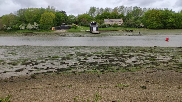
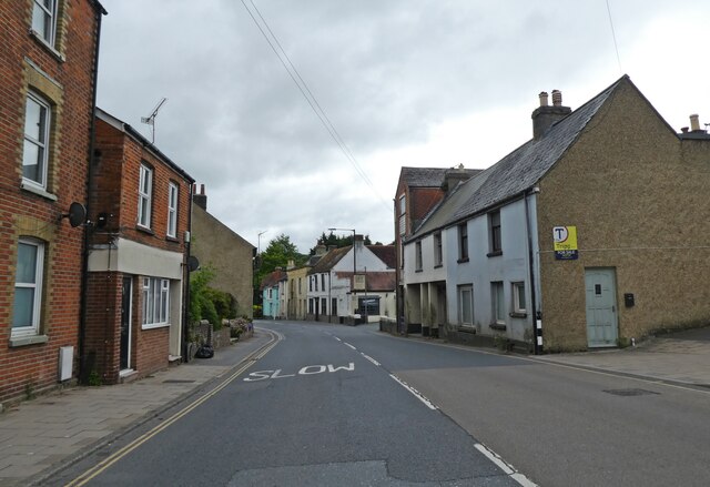
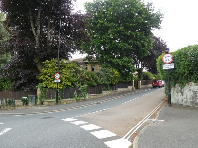
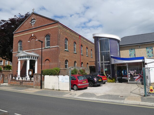
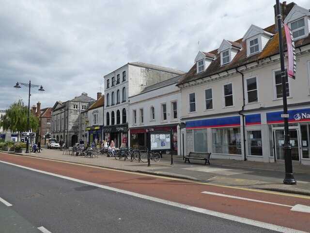
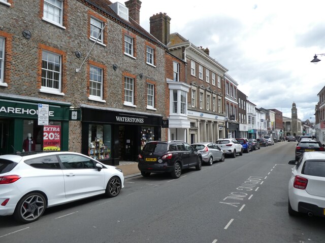
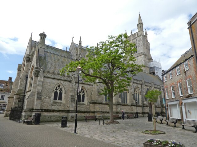
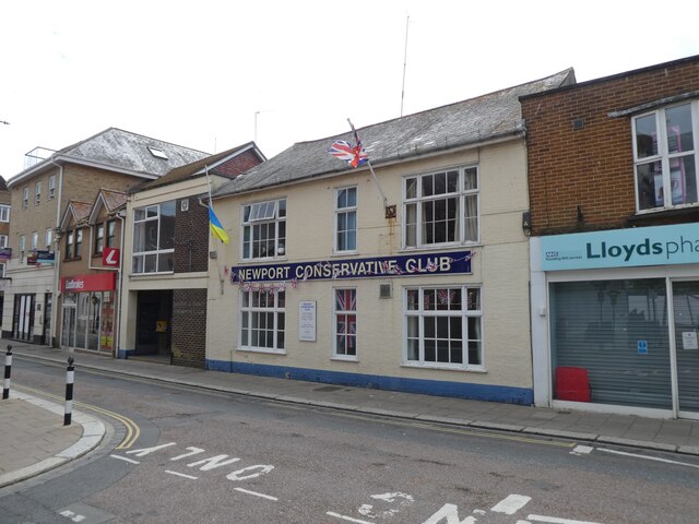
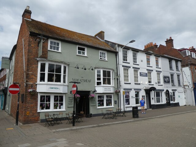
Hunny Hill Images
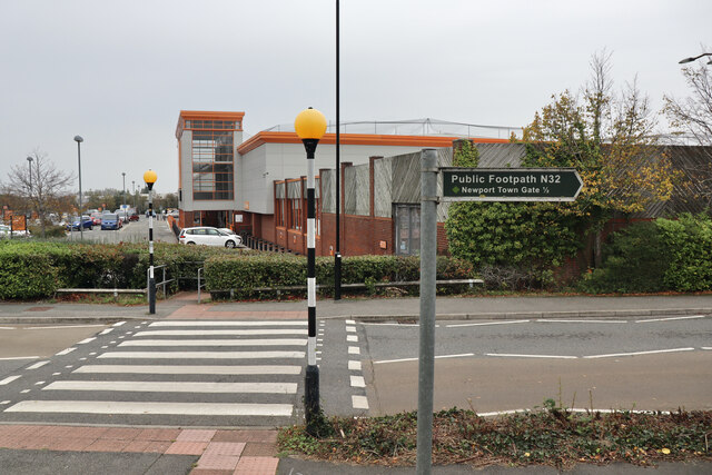
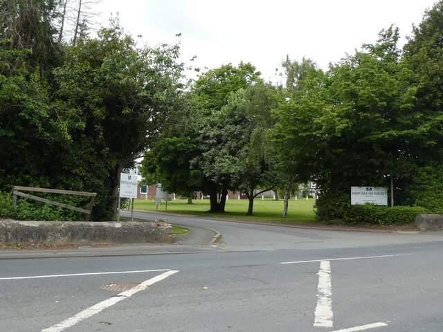
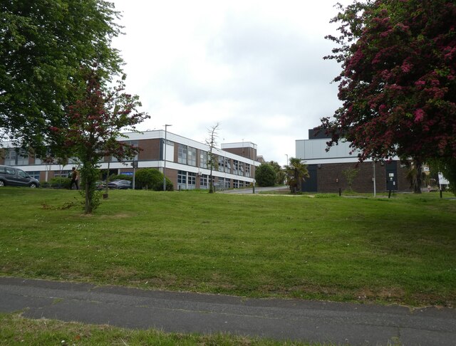
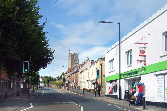
Images are sourced within 2km of 50.705392/-1.3010711 or Grid Reference SZ4989. Thanks to Geograph Open Source API. All images are credited.


Hunny Hill is located at Grid Ref: SZ4989 (Lat: 50.705392, Lng: -1.3010711)
Unitary Authority: Isle of Wight
Police Authority: Hampshire
What 3 Words
///nuggets.chaos.boats. Near Newport, Isle of Wight
Nearby Locations
Related Wikis
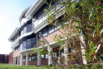
Isle of Wight College
Isle of Wight College is a general college of further and higher education in Newport on the Isle of Wight. The college runs University Centre Isle of...

Newport railway station (Freshwater, Yarmouth and Newport Railway)
Newport FYN railway station was a railway station at Newport, Isle of Wight, off the south coast of England. For ten years it was the alternative terminus...

St Mary's Hospital, Isle of Wight
St Mary's Hospital is a hospital located on the outskirts of Newport on the Isle of Wight. It is run by the Isle of Wight NHS Trust. == History == The...

Newport railway station (Isle of Wight Central Railway)
Newport railway station was established in 1862 with the opening of the Cowes and Newport Railway. It was enlarged in December 1875 when the lines to Ryde...
Nearby Amenities
Located within 500m of 50.705392,-1.3010711Have you been to Hunny Hill?
Leave your review of Hunny Hill below (or comments, questions and feedback).