Hunny Hill
Settlement in Hampshire
England
Hunny Hill
Hunny Hill is a small village located in the county of Hampshire, England. Situated about 5 miles north of the town of Basingstoke, it falls within the borough of Basingstoke and Deane.
The village is known for its picturesque countryside and tranquil atmosphere. Surrounded by rolling hills and lush green fields, Hunny Hill offers residents and visitors a peaceful and idyllic setting away from the hustle and bustle of urban life. It is a popular destination for those seeking a quiet retreat or a place to enjoy outdoor activities such as hiking, cycling, and nature walks.
While Hunny Hill is primarily a residential area with a small population, it is within easy reach of nearby amenities. The town of Basingstoke offers a wide range of shops, restaurants, and entertainment options, including a shopping center, cinema, and leisure facilities.
Historically, Hunny Hill has a rich heritage dating back to medieval times. The village features a number of old buildings and landmarks, including a 12th-century church, St. Mary's, which stands as a testament to its long-standing history.
Overall, Hunny Hill provides a charming and peaceful retreat for those looking to escape the urban environment. With its scenic countryside, close proximity to amenities, and historical significance, it is a hidden gem within the Hampshire countryside.
If you have any feedback on the listing, please let us know in the comments section below.
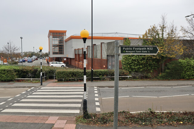
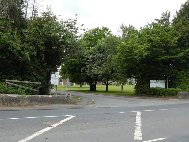
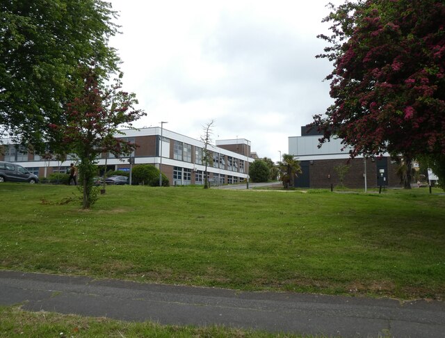
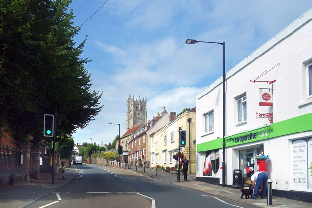
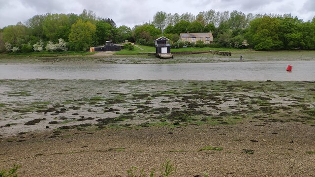
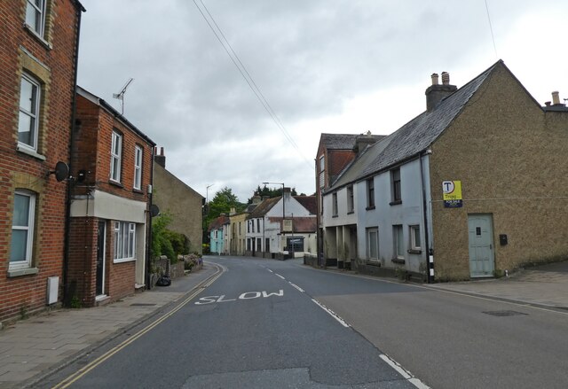
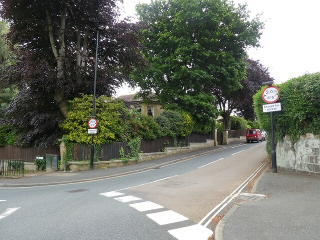
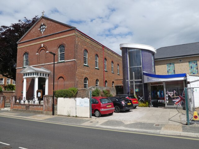
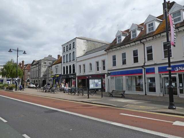
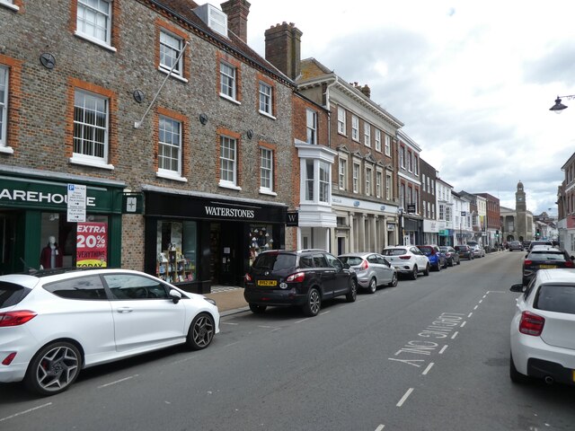
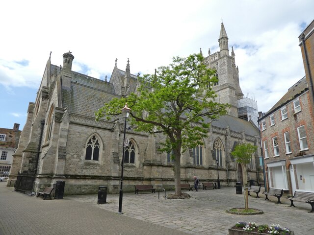
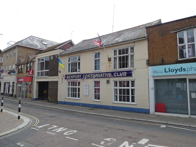
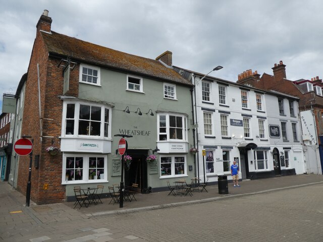
Hunny Hill Images
Images are sourced within 2km of 50.705689/-1.303495 or Grid Reference SZ4989. Thanks to Geograph Open Source API. All images are credited.


Hunny Hill is located at Grid Ref: SZ4989 (Lat: 50.705689, Lng: -1.303495)
Unitary Authority: Isle of Wight
Police Authority: Hampshire
What 3 Words
///scripted.legroom.also. Near Newport, Isle of Wight
Nearby Locations
Related Wikis
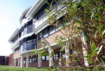
Isle of Wight College
Isle of Wight College is a general college of further and higher education in Newport on the Isle of Wight. The college runs University Centre Isle of...
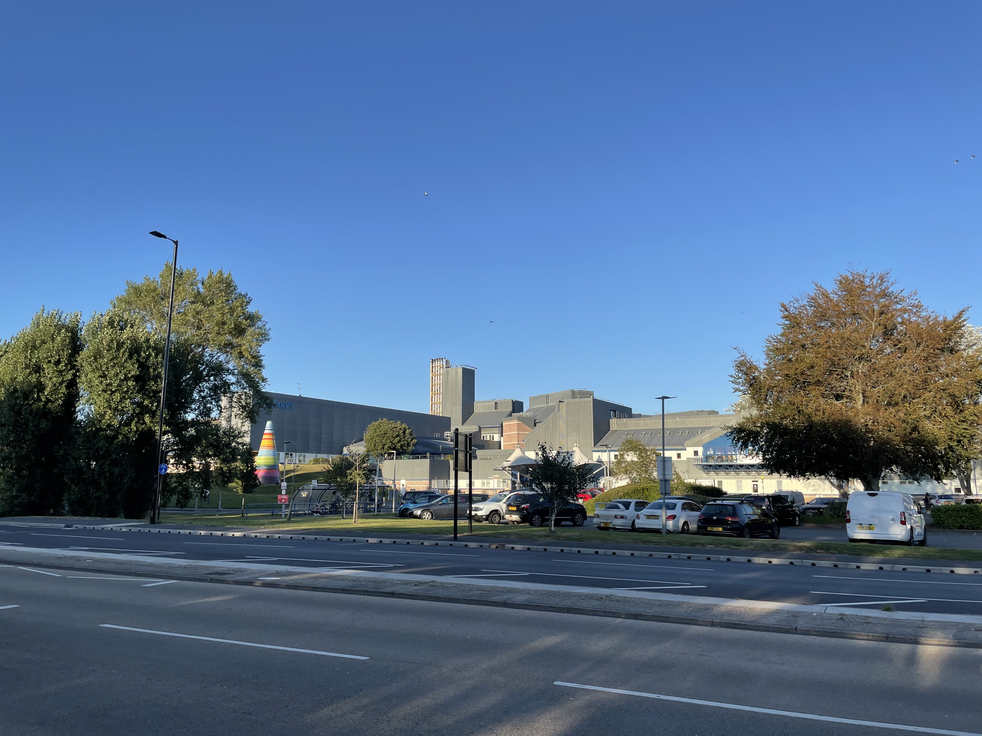
St Mary's Hospital, Isle of Wight
St Mary's Hospital is a hospital located on the outskirts of Newport on the Isle of Wight. It is run by the Isle of Wight NHS Trust. == History == The...

Newport railway station (Freshwater, Yarmouth and Newport Railway)
Newport FYN railway station was a railway station at Newport, Isle of Wight, off the south coast of England. For ten years it was the alternative terminus...

Albany Barracks
Albany Barracks (formerly Parkhurst Barracks) was a military installation on the Isle of Wight. == History == Construction of the barracks, which were...
Nearby Amenities
Located within 500m of 50.705689,-1.303495Have you been to Hunny Hill?
Leave your review of Hunny Hill below (or comments, questions and feedback).