Acklam
Settlement in Yorkshire Ryedale
England
Acklam
Acklam is a small village located in the county of Yorkshire, in the northeastern part of England. Situated approximately 3 miles west of the market town of Malton, Acklam is a picturesque and tranquil rural settlement with a population of around 200 inhabitants.
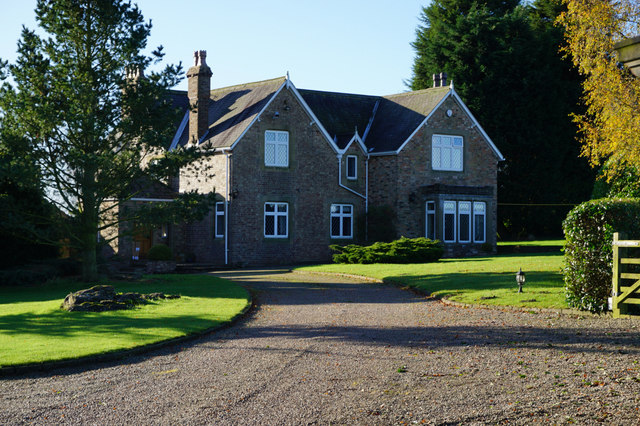
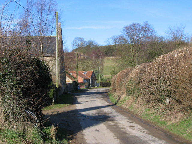
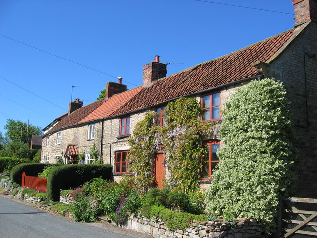
The village is surrounded by rolling countryside, offering stunning views of the Yorkshire Wolds. It is characterized by its charming stone-built houses, many of which date back to the 18th and 19th centuries, giving Acklam a sense of historical charm. The village is known for its well-preserved vernacular architecture, with several listed buildings that contribute to its unique character.
Despite its small size, Acklam boasts a close-knit community, fostering a sense of neighborliness and community spirit. The village has a local pub, The Star Inn, which serves as a social hub for residents and visitors alike.
For outdoor enthusiasts, Acklam is an ideal location. The surrounding countryside offers plenty of opportunities for walking, hiking, and cycling, with numerous trails and footpaths winding through the beautiful landscape. The village is also in close proximity to the stunning North York Moors National Park, providing access to even more extensive outdoor recreational activities.
Overall, Acklam is a tranquil and picturesque village that offers a peaceful escape from the bustling cities. Its rich history, beautiful architecture, and stunning surroundings make it an attractive destination for those seeking a rural retreat in the heart of Yorkshire.
If you have any feedback on the listing, please let us know in the comments section below.
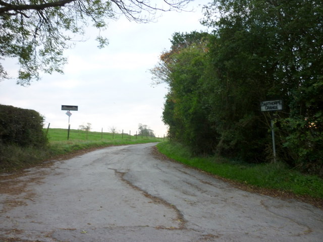
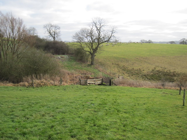
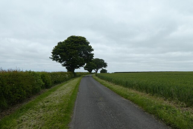
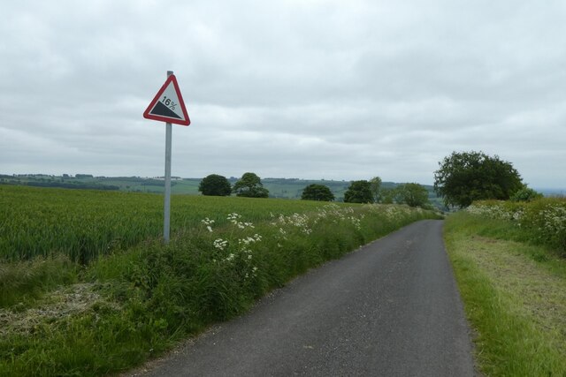
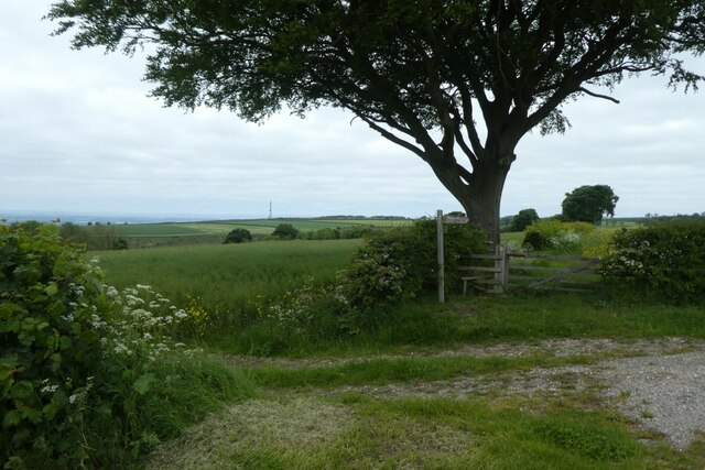
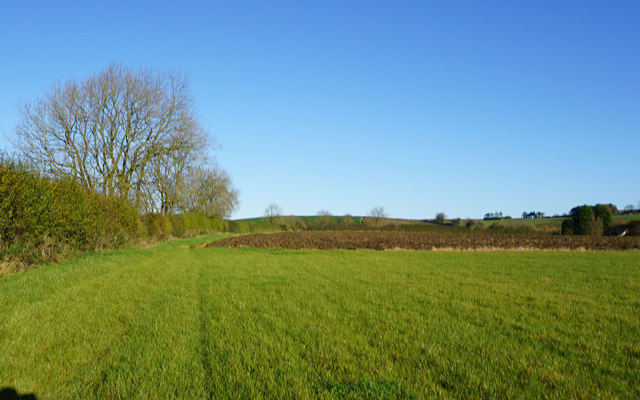
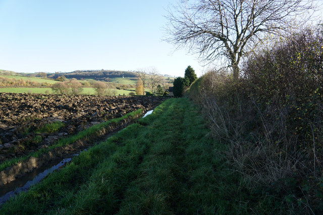
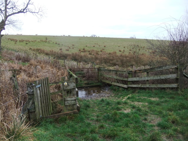
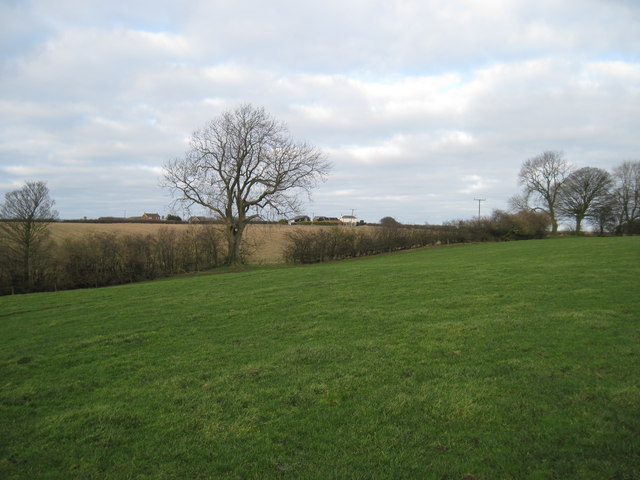
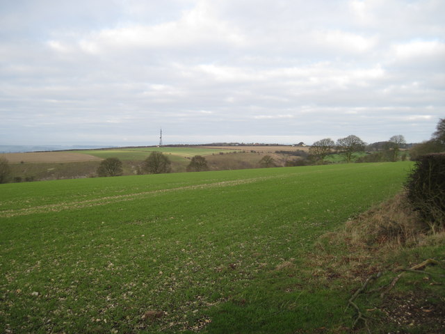
Acklam Images
Images are sourced within 2km of 54.045197/-0.80555076 or Grid Reference SE7861. Thanks to Geograph Open Source API. All images are credited.
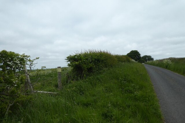
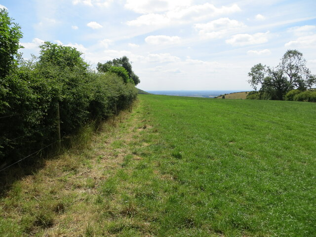
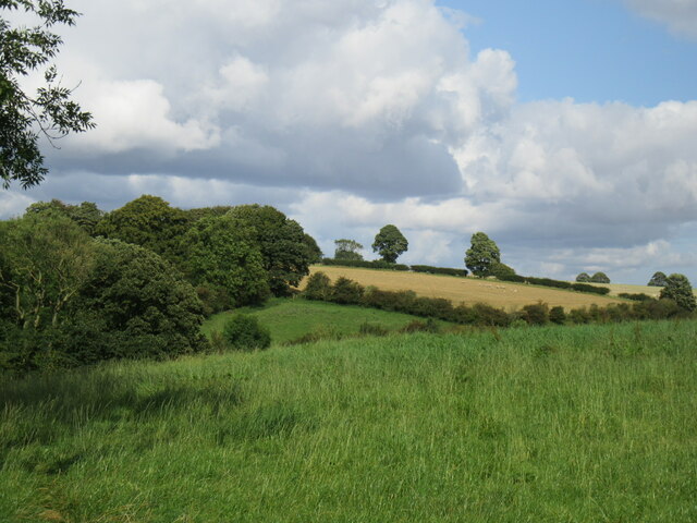
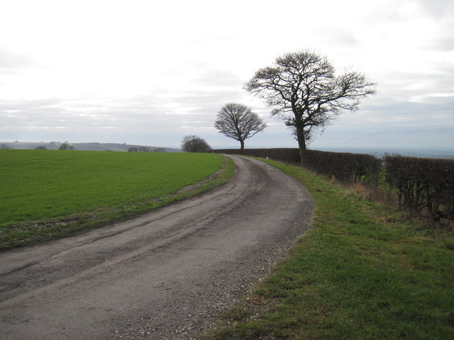
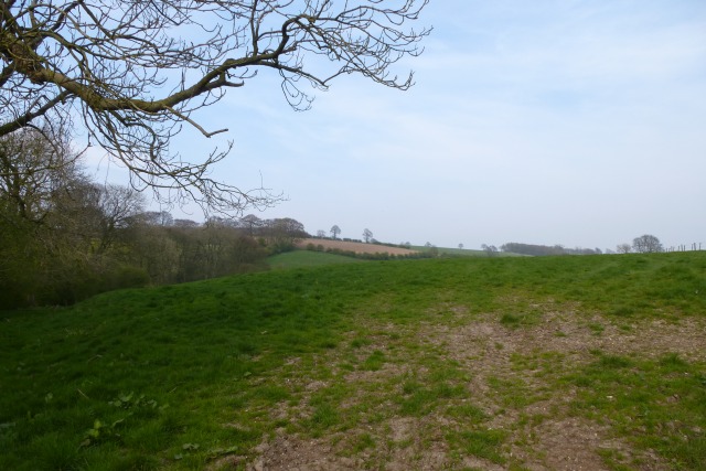
![Chalkland Way footpath At this point the Chalkland Way runs along the wold top before dropping steeply [left of hedge] down into Deep Dale.](https://s0.geograph.org.uk/geophotos/03/11/70/3117024_5a9310c1.jpg)
Acklam is located at Grid Ref: SE7861 (Lat: 54.045197, Lng: -0.80555076)
Division: East Riding
Administrative County: North Yorkshire
District: Ryedale
Police Authority: North Yorkshire
What 3 Words
///vintages.clearly.digital. Near Kirby Underdale, East Yorkshire
Nearby Locations
Related Wikis
Acklam, Ryedale
Acklam is a small village and civil parish in North Yorkshire, England. It is situated approximately 12 miles (20 km) north-east of York city centre and...

Minster FM
Minster FM was an Independent Local Radio station serving York and the surrounding areas such as Selby, Tadcaster, Thirsk, Northallerton and Goole. The...

Leavening, North Yorkshire
Leavening is a village and civil parish in the Ryedale district of North Yorkshire, England. The village is situated approximately 13 miles (20 km) north...

Leppington, North Yorkshire
Leppington is a hamlet and former civil parish, now in the parish of Scrayingham, in North Yorkshire, England, and is 12 miles (19 km) north-east from...

Buckrose
Buckrose was a wapentake of the historic East Riding of Yorkshire, England consisting of the north-west part of the county; its territory is now partly...
Burythorpe
Burythorpe is a village and civil parish in North Yorkshire, England, about 4 miles (6 km) south of Malton. According to the 2001 census it had a population...

Uncleby
Uncleby is a hamlet in the East Riding of Yorkshire, England. It forms part of the civil parish of Kirby Underdale. It is situated approximately 6.5 miles...
Kirby Underdale
Kirby Underdale is a village and civil parish in the East Riding of Yorkshire, England. It is situated approximately six miles (ten kilometres) north...
Related Videos

Olivia's Sanctuary | North Yorkshire Wild Camping INCREDIBLE SUNSET - Self alignment and clarity!!
I went wild camping in North Yorkshire last night on a whim and had a whole field to myself and got to see the most stunning ...

Ryedale Vineyards - Drone Photography
Aerial Photography Video for Ryedale Vineyards, North Yorkshire. www.ryedalevineyards.co.uk Filmed and produced by TYM ...
Nearby Amenities
Located within 500m of 54.045197,-0.80555076Have you been to Acklam?
Leave your review of Acklam below (or comments, questions and feedback).