Ackleton

Settlement in Shropshire

England

Ackleton

Bridleway near Badger, Shropshire A bridleway from Beckbury leads through wooded hillside towards Badger and Stableford. There are many footpaths and bridleways in this vicinity, all very well way-marked, and provide excellent rural walking routes.
Bridleway near Badger, Shropshire Credit: Roger Kidd

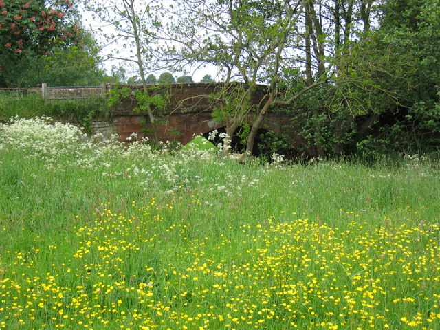
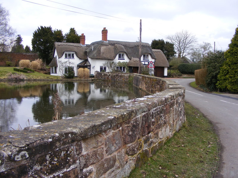
Ackleton is a small village located in the county of Shropshire, England. Situated approximately 6 miles northwest of the town of Bridgnorth, Ackleton is nestled amidst the picturesque countryside of the region. The village is part of the Shropshire Hills Area of Outstanding Natural Beauty, boasting stunning landscapes and a tranquil atmosphere.

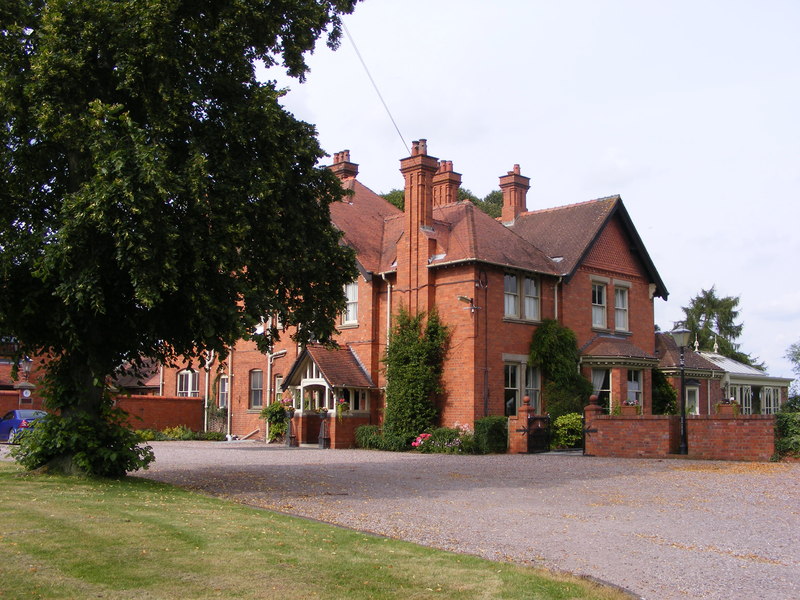
The history of Ackleton can be traced back to medieval times, with evidence of human habitation in the area dating back to the 12th century. The village has managed to retain much of its traditional charm, with several historic buildings still standing today. St. Leonard's Church, a Grade II listed structure, is a notable landmark in Ackleton, dating back to the 13th century.

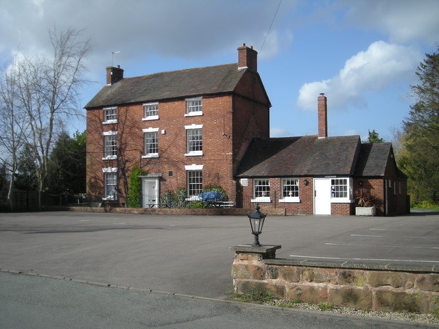
Despite its small size, Ackleton offers a range of amenities to its residents and visitors. The village has a local pub, The Plough Inn, which serves as a popular meeting place for the community. Additionally, there are several walking paths and nature trails that allow visitors to explore the surrounding countryside and enjoy the natural beauty of the area.

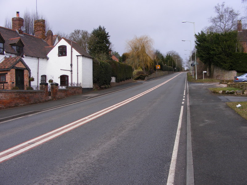
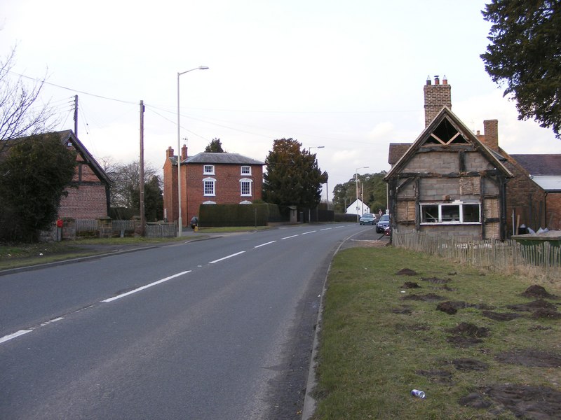
While primarily a residential area, Ackleton is conveniently located near larger towns and cities, making it an ideal place for those seeking a peaceful rural lifestyle with easy access to urban amenities. The village is well-connected to the rest of Shropshire via road networks, with the A442 passing nearby, providing links to Bridgnorth and Telford.

In summary, Ackleton is a charming village in Shropshire, England, offering a peaceful and idyllic setting amidst the beautiful countryside. With its rich history, scenic landscapes, and convenient location, Ackleton is a desirable place to live or visit for those seeking a quintessential English village experience.

If you have any feedback on the listing, please let us know in the comments section below.

Ackleton Images

Images are sourced within 2km of 52.584067/-2.33825 or Grid Reference SO7798. Thanks to Geograph Open Source API. All images are credited.

Bridleway near Badger, Shropshire A bridleway from Beckbury leads through wooded hillside towards Badger and Stableford. There are many footpaths and bridleways in this vicinity, all very well way-marked, and provide excellent rural walking routes.
Bridleway near Badger, Shropshire
A bridleway from Beckbury leads through wooded hillside towards Badger and Stableford. There are many footpaths and bridleways in this vicinity, all very well way-marked, and provide excellent rural walking routes.
Bridleway near Badger, Shropshire The bridleway from Stableford leads through this woodland towards Beckbury. The land slopes steeply down to the River Worfe, off to the left. The Permo-Triassic red sandstone shows clearly on the right.

GPS readings and reference to Where's-the-path confirm that the bridleway is in this grid square rather than as shown on the map. On the current satellite image, the large tree on the left shows quite clearly against the rest. There are many footpaths and bridleways in this vicinity, all very well way-marked, and provide excellent rural walking routes.
Bridleway near Badger, Shropshire
The bridleway from Stableford leads through this woodland towards Beckbury. The land slopes steeply down to the River Worfe, off to the left. The Permo-Triassic red sandstone shows clearly on the right. GPS readings and reference to Where's-the-path confirm that the bridleway is in this grid square rather than as shown on the map. On the current satellite image, the large tree on the left shows quite clearly against the rest. There are many footpaths and bridleways in this vicinity, all very well way-marked, and provide excellent rural walking routes.
Farmland north of Badger, Shropshire This is land east of Badger Farm, looking towards Riddens Coppice.
Farmland north of Badger, Shropshire
This is land east of Badger Farm, looking towards Riddens Coppice.
Farmland north of Badger, Shropshire Crop fields east of Badger Farm, seen from Badger Lane.
Farmland north of Badger, Shropshire
Crop fields east of Badger Farm, seen from Badger Lane.
The Sett, near Badger Farm, Badger
Big pylon and spring onions I've never seen spring onions being grown in the area before, but they seem to be thriving under the high voltage lines.
Big pylon and spring onions
I've never seen spring onions being grown in the area before, but they seem to be thriving under the high voltage lines.
Isolated house west of Burnhill Green
Badger Farmhouse The main farmhouse at Badger Farm - it hides away a little behind the surrounding shrubs and hedges. The barns nearest the road appear to have been converted to residential use.
Badger Farmhouse
The main farmhouse at Badger Farm - it hides away a little behind the surrounding shrubs and hedges. The barns nearest the road appear to have been converted to residential use.
Slow for Badger Farm Badger lane near Beckbury.
Slow for Badger Farm
Badger lane near Beckbury.
The Sett The cottage next to Badger Farm, Badger Lane near Badger.
The Sett
The cottage next to Badger Farm, Badger Lane near Badger.
Badger Hall
Badger Hall
Woodland in the valley of the River Worfe
Stableford Lodge, Stableford
Bridge over the River Worfe at Stableford
Bridleway Opposite Badger Hall Tree lined bridle path opposite Badger Hall.
Bridleway Opposite Badger Hall
Tree lined bridle path opposite Badger Hall.
Kingslow Hall In a prominent position on the end of a ridge.
Kingslow Hall
In a prominent position on the end of a ridge.
Show me another place!

Ackleton is located at Grid Ref: SO7798 (Lat: 52.584067, Lng: -2.33825)

Unitary Authority: Shropshire

Police Authority: West Mercia

What 3 Words

///challenge.grace.method. Near Ryton, Shropshire

Nearby Locations

Ackleton Royal Pool

Related Wikis

Ackleton

Ackleton is a village in the English county of Shropshire. It is in the civil parish of Worfield. Situated some seven miles (11 kilometers) from the market...

Badger, Shropshire

Badger is a village and civil parish in Shropshire, England, about six miles north-east of Bridgnorth. The parish had a population of 134 according to...

Burnhill Green

Burnhill Green is a small hamlet near Pattingham, situated in Staffordshire, England, in the former parish of Patshull. The hamlet is on the edge of the...

Hilton, Shropshire

Hilton is a village in Shropshire, England. == See also == Listed buildings in Worfield == References == The geographic coordinates are from the Ordnance...

Worfield

Worfield is a village and civil parish in Shropshire in the West Midlands, England. It is 120 miles (190 km) northwest of London and 10 miles (16 km) west...

Beckbury

Beckbury is a village and civil parish in Shropshire, England. Beckbury had a population of 327 according to the 2001 census, increasing to 340 at the...

Wyken, Shropshire

Wyken is a hamlet in the English county of Shropshire. Wyken is located on the A454 road between Bridgnorth and Wolverhampton. The nearest village is Worfield...

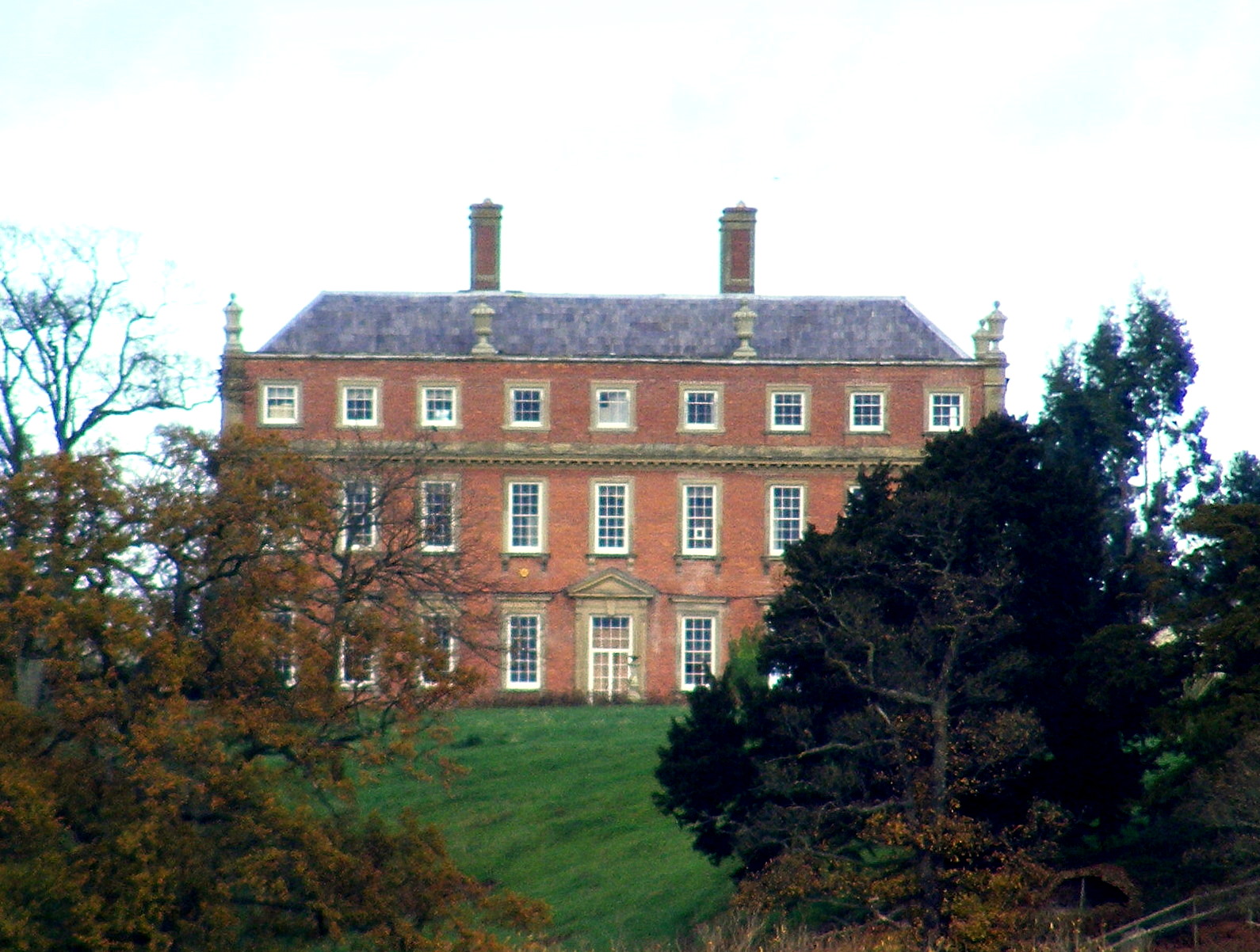
Davenport House, Worfield

Davenport House is an historic country house in the English village of Worfield, Shropshire. Located to the southwest of the village centre, it was built...

Nearby Amenities

Located within 500m of 52.584067,-2.33825
Ackleton
Place: village
Wikidata: Q3811508
Lat/Long: 52.5849679/-2.3394082
Ackleton Hill
Ele: 100
Natural: peak
Lat/Long: 52.5806689/-2.3358799
Pub
Red Cow
Addr City: Ackleton
Addr Country: GB
Addr Postcode: WV6 7JH
Addr Street: Stableford Road
Fhrs Authority: Shropshire
Fhrs Id: 1470130
Fhrs Local Authority Id: 22/00201/COMM
Lat/Long: 52.5870265/-2.3405501
The data included in this document is from www.openstreetmap.org. The data is made available under ODbL.

Have you been to Ackleton?

Leave your review of Ackleton below (or comments, questions and feedback).