Acklington

Settlement in Northumberland

England

Acklington

Remains of Brainshaugh Priory The ruins are marked as Chapel (remains of) on the 1:25,000 map. The viewpoint is the Factory Bridge.
Remains of Brainshaugh Priory Credit: Jim Barton

Acklington is a small village located in the county of Northumberland, England. Situated approximately 25 miles north of Newcastle upon Tyne, it lies within the Morpeth parliamentary constituency. With a population of around 500 residents, Acklington is known for its peaceful and rural surroundings.

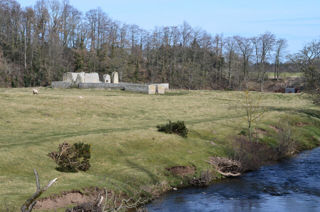
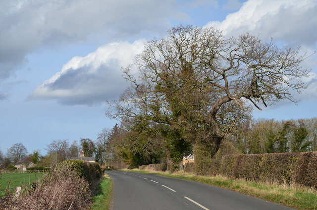
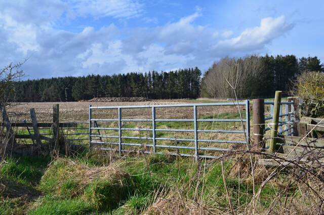
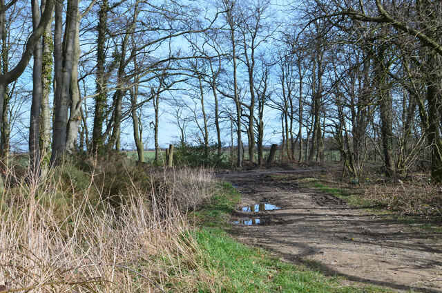
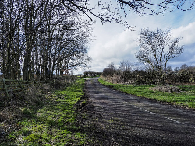
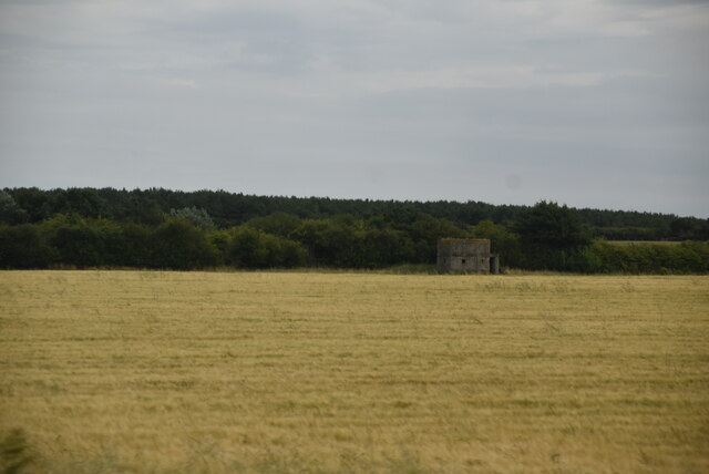
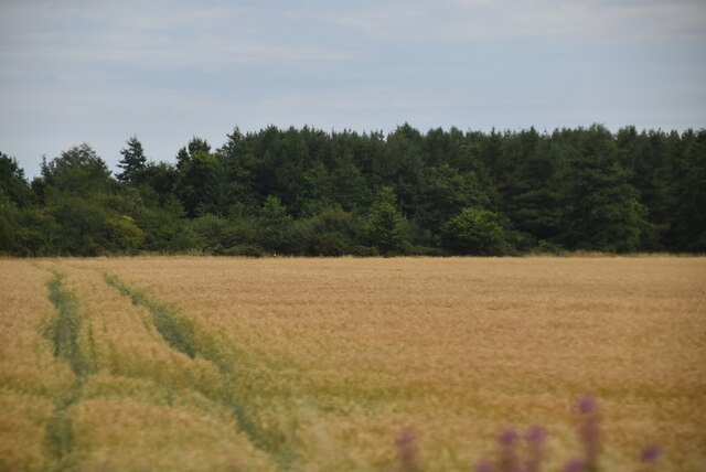
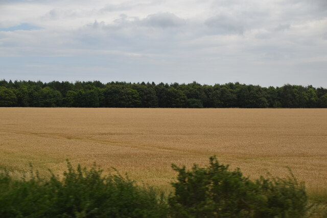
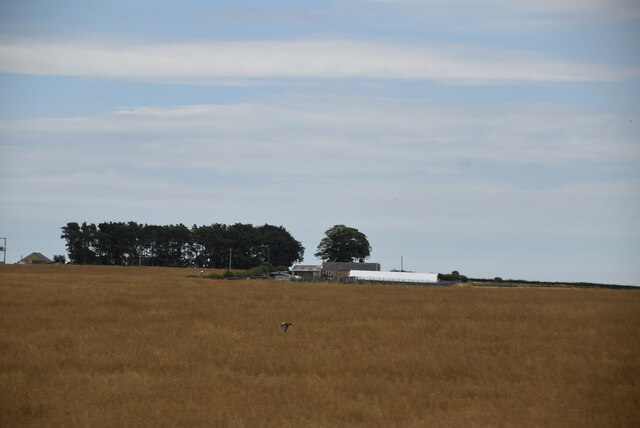
The village is surrounded by stunning landscapes and offers picturesque views of the Northumberland countryside. It is situated near the coast, with the North Sea only a short distance away, making it an ideal location for those who enjoy outdoor activities and seaside walks.

Acklington is home to a number of historic buildings, including the grade II listed St. John the Divine Church, which dates back to the 19th century. The village also has a primary school, which serves the local community.

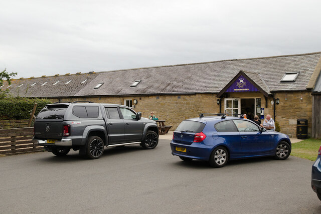
Despite its small size, Acklington has a strong sense of community, with regular events and activities taking place throughout the year. The village has a local pub, where residents can socialize and relax, and there are also a few shops and amenities available.

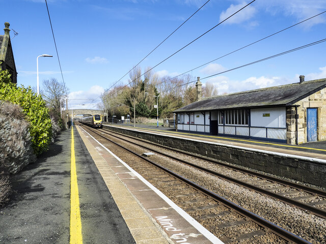
Transport links in Acklington are good, with regular bus services connecting the village to nearby towns and cities. The village is also conveniently located near the A1 road, providing easy access to the wider Northumberland region.

Overall, Acklington offers a peaceful and charming setting, making it an attractive place to live for those seeking a rural lifestyle with good access to amenities and transport links.

If you have any feedback on the listing, please let us know in the comments section below.
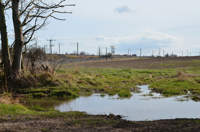
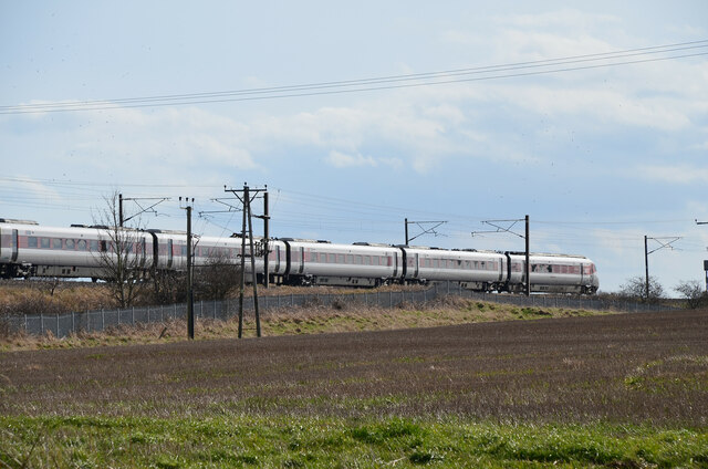
Acklington Images

Images are sourced within 2km of 55.309897/-1.650143 or Grid Reference NU2201. Thanks to Geograph Open Source API. All images are credited.

Remains of Brainshaugh Priory The ruins are marked as Chapel (remains of) on the 1:25,000 map. The viewpoint is the Factory Bridge.
Remains of Brainshaugh Priory
The ruins are marked as Chapel (remains of) on the 1:25,000 map. The viewpoint is the Factory Bridge.
Road near Acklington Park The road crosses the River Croquet at the Factory Bridge.
Road near Acklington Park
The road crosses the River Croquet at the Factory Bridge.
Rake Lane at road crossing St Oswald's Way crosses the road from Acklington to Swarland.
Rake Lane at road crossing
St Oswald's Way crosses the road from Acklington to Swarland.
Rake Lane near Morwick Banks The lane, well supplied with puddles, passes a plantation.
Rake Lane near Morwick Banks
The lane, well supplied with puddles, passes a plantation.
Field by the East Coast Main Line Rake Lane (on St Oswald's Way) crosses under the railway at this point, defended by a large full-width puddle.
Field by the East Coast Main Line
Rake Lane (on St Oswald's Way) crosses under the railway at this point, defended by a large full-width puddle.
Train on East Coast Main Line A southbound LNER train near Acklington.
Train on East Coast Main Line
A southbound LNER train near Acklington.
Track access point, Rake Lane Access to the East Coast Main Line for railway workers. The notice gives details of the location and safety information.
Track access point, Rake Lane
Access to the East Coast Main Line for railway workers. The notice gives details of the location and safety information.
Rake Lane blockage The track is comprehensively blocked here by bushes and fallen trees. However, the obstacle can be bypassed via the field on the north side, requiring a squeeze under the barbed wire to regain the track beyond in this view.
Rake Lane blockage
The track is comprehensively blocked here by bushes and fallen trees. However, the obstacle can be bypassed via the field on the north side, requiring a squeeze under the barbed wire to regain the track beyond in this view.
Farmland near Cavil Head The plantation is near Morwick Moor House.
Farmland near Cavil Head
The plantation is near Morwick Moor House.
Rake Lane meets the Warkworth Road The track also used by St Oswald's Way meets the road from Acklington to Warkworth.
Rake Lane meets the Warkworth Road
The track also used by St Oswald's Way meets the road from Acklington to Warkworth.
Morwick Dairy Ice cream and unpasteurised milk for sale.
Morwick Dairy
Ice cream and unpasteurised milk for sale.
Village pump/pant A well preserved pant with a roof.  The pump handle moves but no water emerges.  Grade II listed.

<span class="nowrap"><a title="https://historicengland.org.uk/listing/the-list/list-entry/1041916?section=official-list-entry" rel="nofollow ugc noopener" href="https://historicengland.org.uk/listing/the-list/list-entry/1041916?section=official-list-entry">Link</a><img style="margin-left:2px;" alt="External link" title="External link - shift click to open in new window" src="https://s1.geograph.org.uk/img/external.png" width="10" height="10"/></span>
Village pump/pant
A well preserved pant with a roof. The pump handle moves but no water emerges. Grade II listed. LinkExternal link
Railway station at Acklington Acklington railway station looking north with a train approaching.
Railway station at Acklington
Acklington railway station looking north with a train approaching.
Road branching from B6345 east of Acklington The road heading west to meet another minor road in the village.
Road branching from B6345 east of Acklington
The road heading west to meet another minor road in the village.
Pillbox In 1940 a network of defences was hastily built all over Britain to prevent an expected German invasion. The most common of these defences were called “pillboxes”, squat concrete forts that were sited at road junctions, canals and other strategic points.

With the passage of time it is estimated that fewer than 6,000 of a total of 28,000 pillboxes built still survive. They remain as permanent monuments and a silent tribute to the courage and tenacity of the British people during the dark days of 1940 when Britain stood alone against Nazi Germany.

More detail see <span class="nowrap"><a title="www.pillboxesuk.co.uk" rel="nofollow ugc noopener" href="http://www.pillboxesuk.co.uk">Link</a><img style="margin-left:2px;" alt="External link" title="External link - shift click to open in new window" src="https://s1.geograph.org.uk/img/external.png" width="10" height="10"/></span>
Pillbox
In 1940 a network of defences was hastily built all over Britain to prevent an expected German invasion. The most common of these defences were called “pillboxes”, squat concrete forts that were sited at road junctions, canals and other strategic points. With the passage of time it is estimated that fewer than 6,000 of a total of 28,000 pillboxes built still survive. They remain as permanent monuments and a silent tribute to the courage and tenacity of the British people during the dark days of 1940 when Britain stood alone against Nazi Germany. More detail see LinkExternal link
Wheat and woodland
Wheat and woodland
Wheat and woodland
Wheat and woodland
Red Hen Cottage
Red Hen Cottage
Show me another place!

Acklington is located at Grid Ref: NU2201 (Lat: 55.309897, Lng: -1.650143)

Unitary Authority: Northumberland

Police Authority: Northumbria

What 3 Words

///chemistry.translate.skid. Near Acklington, Northumberland

Nearby Locations

Acklington Acklington

Related Wikis

Nearby Amenities

Located within 500m of 55.309897,-1.650143
Acklington
Naptan AtcoCode: 9100ACKLNGT
Public Transport: stop_position
Railway: stop
Source: NPE
Train: yes
Lat/Long: 55.307192/-1.6517465
Power: pole
Lat/Long: 55.3099058/-1.6514382
Power: pole
Lat/Long: 55.3109109/-1.6511923
Power: pole
Lat/Long: 55.3118098/-1.6509609
Power: pole
Lat/Long: 55.3128616/-1.6507176
Power: pole
Lat/Long: 55.3136117/-1.6505437
Power: pole
Lat/Long: 55.3143771/-1.6503752
Power: pole
Lat/Long: 55.3082035/-1.6518339
Power: pole
Lat/Long: 55.3090732/-1.6516165
Bicycle Parking
Bicycle Parking: stands
Capacity: 8
Covered: no
Fixme: are these racks still here?
Lat/Long: 55.307202/-1.651683
Acklington
Naptan AtcoCode: 9100ACKLNGT
Public Transport: stop_position
Railway: stop
Source: NPE
Train: yes
Lat/Long: 55.3071967/-1.6518091
Post Box
Collection Times: Mo-Fr 09:00; Sa 07:00
Post Box Type: lamp
Ref: NE65 788D
Royal Cypher: EIIR
Royal Cypher Wikidata: Q33102113
Source: survey
Lat/Long: 55.3070569/-1.6528858
Post Box
Collection Times: Mo-Fr 16:15; Sa 09:00
Post Box Type: lamp
Ref: NE65 173
Royal Cypher: EIIR
Royal Cypher Wikidata: Q33102113
Lat/Long: 55.3109745/-1.6426526
Carrs Billington
Shop: hardware
Lat/Long: 55.3069527/-1.6527556
Acklington
Naptan AtcoCode: 9100ACKLNGT
Network: National Rail
Network Website: https://www.nationalrail.co.uk/stations/ack/
Network Wikidata: Q26334
Operator: Northern
Operator Website: https://www.northernrailway.co.uk/stations/acklington
Operator Wikidata: Q85789775
Public Transport: station
Railway: station
Ref Crs: ACK
Source: NPE
Wikidata: Q3517520
Wikipedia: en:Acklington railway station
Lat/Long: 55.3072171/-1.6517687
Entrance: yes
Lat/Long: 55.3071162/-1.6516734
Traffic Calming: chicane
Lat/Long: 55.3104434/-1.6467756
Bench
Lat/Long: 55.3105083/-1.6466486
Telephone
Indoor: yes
Phone: +44 1670 761739
Lat/Long: 55.3070752/-1.6516395
Noexit: yes
Lat/Long: 55.3108588/-1.6455131
Noexit: yes
Lat/Long: 55.3107519/-1.6460925
The data included in this document is from www.openstreetmap.org. The data is made available under ODbL.

Have you been to Acklington?

Leave your review of Acklington below (or comments, questions and feedback).