Ackton
Settlement in Yorkshire
England
Ackton

Ackton is a small village located in the metropolitan borough of Wakefield, in the county of West Yorkshire, England. Situated approximately 6 miles east of Wakefield city center, Ackton is part of the larger town of Featherstone. The village is primarily residential, with a population of around 2,500 people.
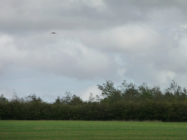
Ackton has a rich history, dating back to medieval times when it was a farming community. Over the years, it has seen various developments and expansions, but has managed to retain its rural charm. The village is characterized by its picturesque countryside surroundings, with rolling hills, green fields, and a tranquil atmosphere.
While Ackton is primarily residential, there are a few local amenities that serve the community. These include a small convenience store, a primary school, and a pub, providing essential services for the village's residents. Additionally, Ackton benefits from excellent transport links, with easy access to major roads such as the A645 and A638, connecting it to nearby towns and cities.
The village is also in close proximity to various points of interest. Just a short drive away is the beautiful Pontefract Castle, a historic site that dates back to the 11th century. The nearby Xscape Yorkshire offers entertainment options, including a cinema, indoor skiing, and a range of restaurants.
In summary, Ackton is a peaceful village in Yorkshire, offering a perfect blend of rural living and convenient access to nearby amenities.
If you have any feedback on the listing, please let us know in the comments section below.
Ackton Images
Images are sourced within 2km of 53.693447/-1.376617 or Grid Reference SE4122. Thanks to Geograph Open Source API. All images are credited.


Ackton is located at Grid Ref: SE4122 (Lat: 53.693447, Lng: -1.376617)
Division: West Riding
Unitary Authority: Wakefield
Police Authority: West Yorkshire
What 3 Words
///hopes.hurry.contoured. Near Featherstone, West Yorkshire
Nearby Locations
Related Wikis

Ackton
Ackton is a hamlet in the parish of Featherstone, in the Wakefield district of West Yorkshire, England. It is near Pontefract. In 1931 the parish had...
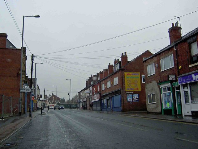
Featherstone
Featherstone is a town and civil parish in the City of Wakefield, West Yorkshire, England, two miles south-west of Pontefract. Historically part of the...
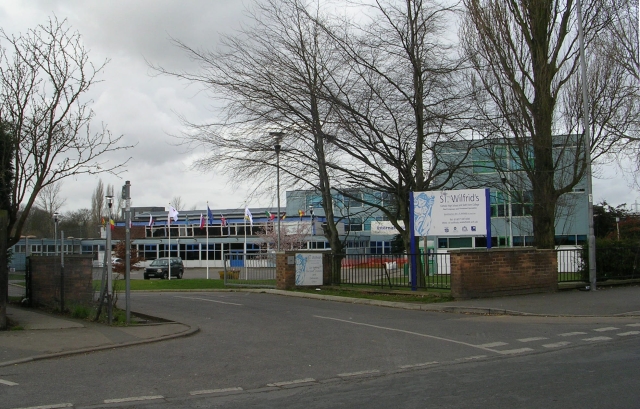
St Wilfrid's Catholic High School, North Featherstone
St Wilfrid's Catholic High School is a mixed secondary school and sixth form with academy status located in Featherstone, West Yorkshire, England. It has...
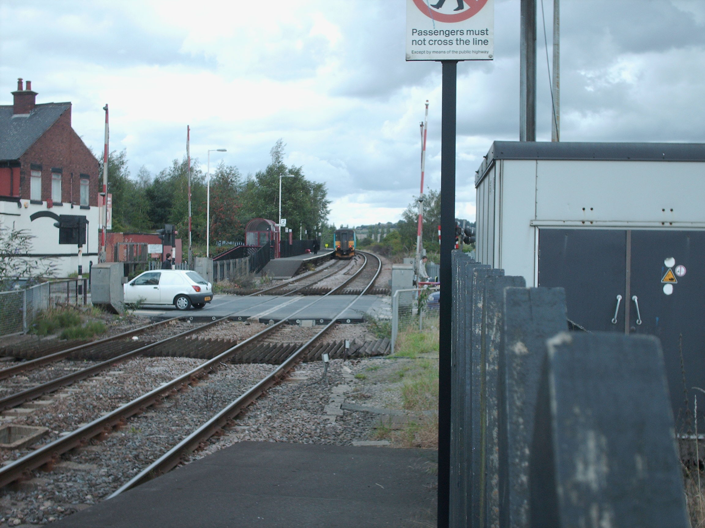
Featherstone railway station
Featherstone railway station serves the town of Featherstone in West Yorkshire, England. It lies on the Pontefract Line, operated by Northern, 6 miles...
Nearby Amenities
Located within 500m of 53.693447,-1.376617Have you been to Ackton?
Leave your review of Ackton below (or comments, questions and feedback).