Acklington

Civil Parish in Northumberland

England

Acklington

Rake Lane at road crossing St Oswald's Way crosses the road from Acklington to Swarland.
Rake Lane at road crossing Credit: Jim Barton

Acklington is a civil parish located in the county of Northumberland, in the northeastern region of England. Situated about 9 miles south of Alnwick and 4 miles northwest of Morpeth, the parish covers an area of approximately 7 square miles.

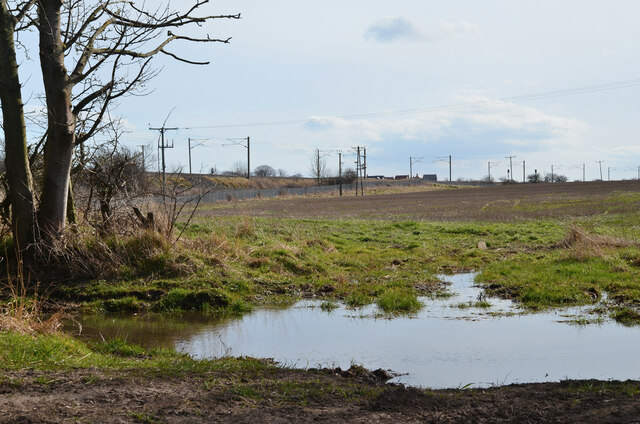
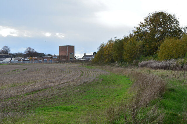
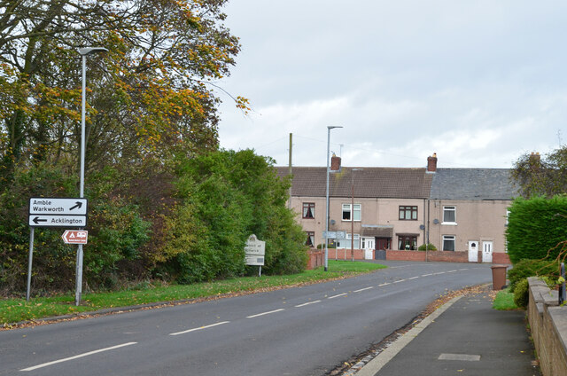
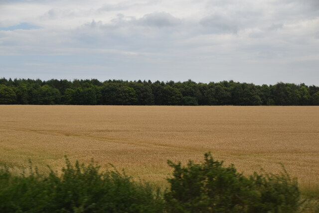
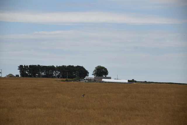
The village of Acklington itself is small, with a population of around 200 residents. It is primarily a residential area, consisting of a mix of traditional stone-built houses and more modern developments. The parish is surrounded by picturesque countryside, with farmland and open fields dominating the landscape.

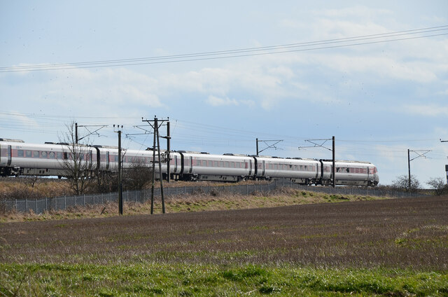
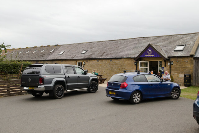
Although relatively quiet, Acklington has a few amenities to offer its residents. These include a primary school, a village hall, and a local pub. The parish also has good transport links, with the A1 road passing nearby, providing easy access to larger towns and cities in the region.

One notable feature of Acklington is its proximity to HMP Northumberland, a large prison facility located just outside the village. The former RAF Acklington base, which operated during World War II, was converted into the prison in the 1970s. The presence of the prison has brought employment opportunities to the area.

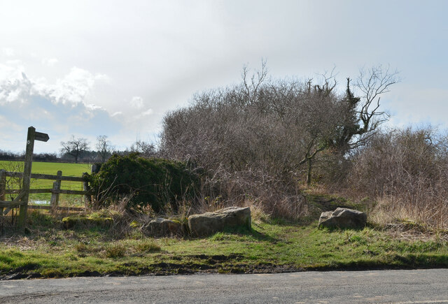
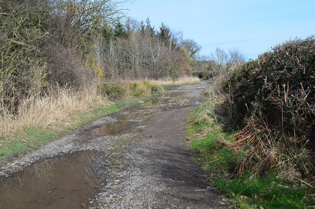
Acklington is surrounded by natural beauty, with the Northumberland National Park and the Northumberland Coast Area of Outstanding Natural Beauty both within easy reach. This makes it an attractive location for outdoor enthusiasts, with opportunities for walking, cycling, and exploring the stunning Northumberland countryside.

If you have any feedback on the listing, please let us know in the comments section below.
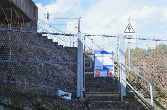
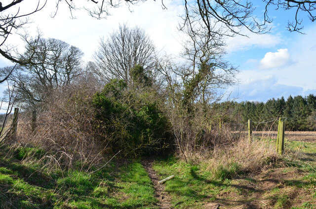
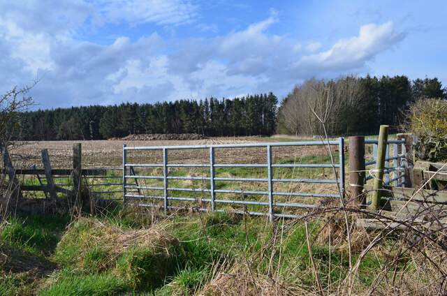
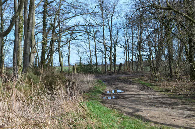
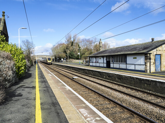
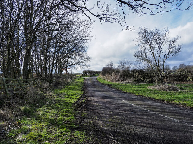
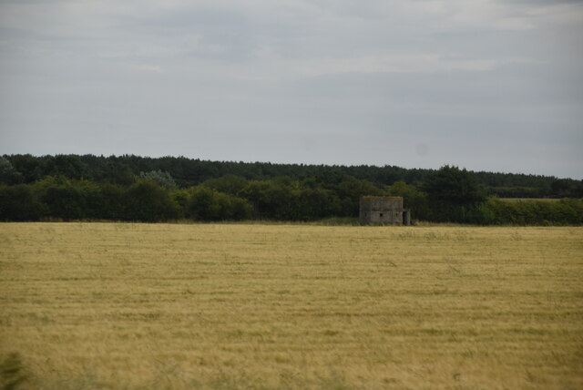
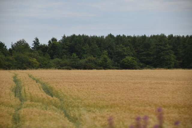
Acklington Images

Images are sourced within 2km of 55.308427/-1.642121 or Grid Reference NU2201. Thanks to Geograph Open Source API. All images are credited.

Rake Lane at road crossing St Oswald's Way crosses the road from Acklington to Swarland.
Rake Lane at road crossing
St Oswald's Way crosses the road from Acklington to Swarland.
Rake Lane near Morwick Banks The lane, well supplied with puddles, passes a plantation.
Rake Lane near Morwick Banks
The lane, well supplied with puddles, passes a plantation.
Field by the East Coast Main Line Rake Lane (on St Oswald's Way) crosses under the railway at this point, defended by a large full-width puddle.
Field by the East Coast Main Line
Rake Lane (on St Oswald's Way) crosses under the railway at this point, defended by a large full-width puddle.
Train on East Coast Main Line A southbound LNER train near Acklington.
Train on East Coast Main Line
A southbound LNER train near Acklington.
Track access point, Rake Lane Access to the East Coast Main Line for railway workers. The notice gives details of the location and safety information.
Track access point, Rake Lane
Access to the East Coast Main Line for railway workers. The notice gives details of the location and safety information.
Rake Lane blockage The track is comprehensively blocked here by bushes and fallen trees. However, the obstacle can be bypassed via the field on the north side, requiring a squeeze under the barbed wire to regain the track beyond in this view.
Rake Lane blockage
The track is comprehensively blocked here by bushes and fallen trees. However, the obstacle can be bypassed via the field on the north side, requiring a squeeze under the barbed wire to regain the track beyond in this view.
Farmland near Cavil Head The plantation is near Morwick Moor House.
Farmland near Cavil Head
The plantation is near Morwick Moor House.
Rake Lane meets the Warkworth Road The track also used by St Oswald's Way meets the road from Acklington to Warkworth.
Rake Lane meets the Warkworth Road
The track also used by St Oswald's Way meets the road from Acklington to Warkworth.
Morwick Dairy Ice cream and unpasteurised milk for sale.
Morwick Dairy
Ice cream and unpasteurised milk for sale.
Buildings at Broomhill Approaching the B1330 at Broomhill and Togston on the path from Druridge Bay.
Buildings at Broomhill
Approaching the B1330 at Broomhill and Togston on the path from Druridge Bay.
Road junction in Togston The B1330 meets the B6345 Acklington to Amble road. A sign marks the boundary of the District of Alnwick.
Road junction in Togston
The B1330 meets the B6345 Acklington to Amble road. A sign marks the boundary of the District of Alnwick.
Village pump/pant A well preserved pant with a roof.  The pump handle moves but no water emerges.  Grade II listed.

<span class="nowrap"><a title="https://historicengland.org.uk/listing/the-list/list-entry/1041916?section=official-list-entry" rel="nofollow ugc noopener" href="https://historicengland.org.uk/listing/the-list/list-entry/1041916?section=official-list-entry">Link</a><img style="margin-left:2px;" alt="External link" title="External link - shift click to open in new window" src="https://s1.geograph.org.uk/img/external.png" width="10" height="10"/></span>
Village pump/pant
A well preserved pant with a roof. The pump handle moves but no water emerges. Grade II listed. LinkExternal link
Railway station at Acklington Acklington railway station looking north with a train approaching.
Railway station at Acklington
Acklington railway station looking north with a train approaching.
Road branching from B6345 east of Acklington The road heading west to meet another minor road in the village.
Road branching from B6345 east of Acklington
The road heading west to meet another minor road in the village.
Pillbox In 1940 a network of defences was hastily built all over Britain to prevent an expected German invasion. The most common of these defences were called “pillboxes”, squat concrete forts that were sited at road junctions, canals and other strategic points.

With the passage of time it is estimated that fewer than 6,000 of a total of 28,000 pillboxes built still survive. They remain as permanent monuments and a silent tribute to the courage and tenacity of the British people during the dark days of 1940 when Britain stood alone against Nazi Germany.

More detail see <span class="nowrap"><a title="www.pillboxesuk.co.uk" rel="nofollow ugc noopener" href="http://www.pillboxesuk.co.uk">Link</a><img style="margin-left:2px;" alt="External link" title="External link - shift click to open in new window" src="https://s1.geograph.org.uk/img/external.png" width="10" height="10"/></span>
Pillbox
In 1940 a network of defences was hastily built all over Britain to prevent an expected German invasion. The most common of these defences were called “pillboxes”, squat concrete forts that were sited at road junctions, canals and other strategic points. With the passage of time it is estimated that fewer than 6,000 of a total of 28,000 pillboxes built still survive. They remain as permanent monuments and a silent tribute to the courage and tenacity of the British people during the dark days of 1940 when Britain stood alone against Nazi Germany. More detail see LinkExternal link
Wheat and woodland
Wheat and woodland
Wheat and woodland
Wheat and woodland
Red Hen Cottage
Red Hen Cottage
Show me another place!

Acklington is located at Grid Ref: NU2201 (Lat: 55.308427, Lng: -1.642121)

Unitary Authority: Northumberland

Police Authority: Northumbria

What 3 Words

///escorting.huts.dining. Near Acklington, Northumberland

Nearby Locations

Acklington Acklington

Related Wikis

Nearby Amenities

Located within 500m of 55.308427,-1.642121
Acklington
Place: village
Wikidata: Q675592
Lat/Long: 55.3110485/-1.640324
South Field House
Place: locality
Lat/Long: 55.3094648/-1.6406461
Power: pole
Lat/Long: 55.3118347/-1.6423178
Power: pole
Lat/Long: 55.3126447/-1.6423533
Post Box
Collection Times: Mo-Fr 16:15; Sa 09:00
Post Box Type: lamp
Ref: NE65 173
Royal Cypher: EIIR
Royal Cypher Wikidata: Q33102113
Lat/Long: 55.3109745/-1.6426526
Traffic Calming: chicane
Lat/Long: 55.3104434/-1.6467756
Bench
Lat/Long: 55.3105083/-1.6466486
Noexit: yes
Lat/Long: 55.3108588/-1.6455131
Noexit: yes
Lat/Long: 55.3107519/-1.6460925
The data included in this document is from www.openstreetmap.org. The data is made available under ODbL.

Have you been to Acklington?

Leave your review of Acklington below (or comments, questions and feedback).