Penty Wood
Wood, Forest in Yorkshire Ryedale
England
Penty Wood
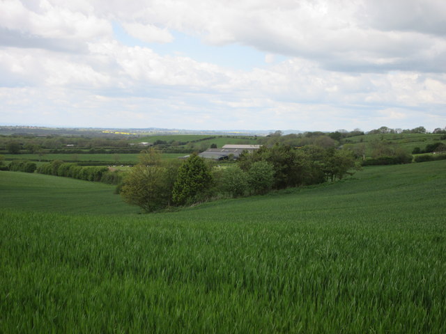
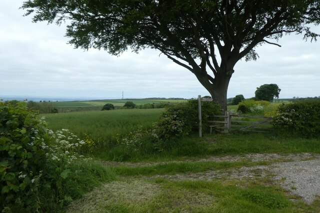
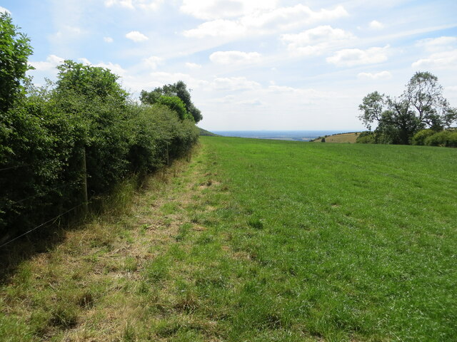
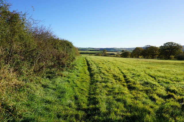
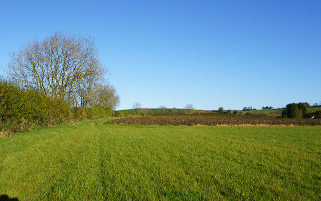
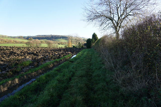
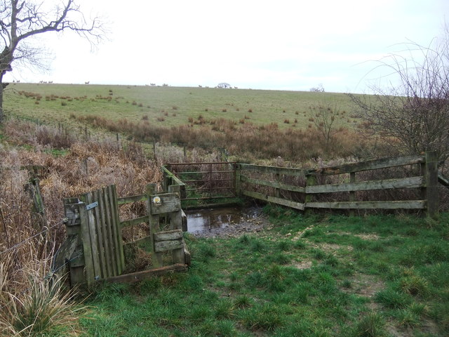
Penty Wood is a picturesque woodland located in the county of Yorkshire, England. Situated in the heart of the countryside, the wood covers an area of approximately 100 acres, offering visitors a serene and tranquil environment to explore.
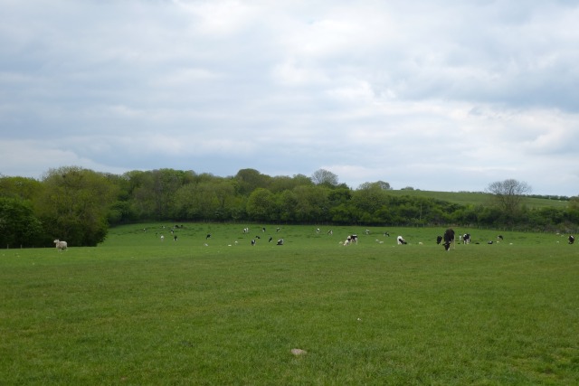
The wood is home to a rich variety of flora and fauna, with an abundance of native trees such as oak, birch, and beech, providing a lush canopy that filters the sunlight and creates a dappled effect on the forest floor. The undergrowth is teeming with wildflowers, ferns, and mosses, adding to the wood's natural beauty.
Penty Wood is a popular destination for nature enthusiasts and walkers, who can enjoy the various trails and footpaths that wind through the woodland. These pathways allow visitors to fully immerse themselves in the peaceful surroundings and appreciate the diverse wildlife that inhabits the area. Birdwatchers will delight in spotting species such as woodpeckers, owls, and various songbirds.
For those interested in the history of the area, Penty Wood has a rich past. It is believed to have been in existence for centuries, with evidence of human activity dating back to ancient times. The wood has served as a source of timber and fuel for local communities throughout history.
In recent years, efforts have been made to preserve and protect Penty Wood, ensuring its continued beauty and ecological importance. The wood serves as an important habitat for many species and contributes to the overall biodiversity of the region.
Overall, Penty Wood offers a peaceful retreat for visitors, allowing them to reconnect with nature and experience the beauty of Yorkshire's woodlands.
If you have any feedback on the listing, please let us know in the comments section below.
Penty Wood Images
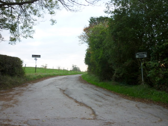
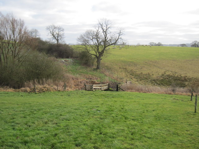
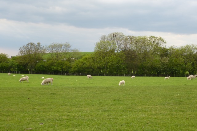
Images are sourced within 2km of 54.042897/-0.80831984 or Grid Reference SE7861. Thanks to Geograph Open Source API. All images are credited.

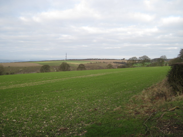
![Chalkland Way footpath At this point the Chalkland Way runs along the wold top before dropping steeply [left of hedge] down into Deep Dale.](https://s0.geograph.org.uk/geophotos/03/11/70/3117024_5a9310c1.jpg)

Penty Wood is located at Grid Ref: SE7861 (Lat: 54.042897, Lng: -0.80831984)
Division: East Riding
Administrative County: North Yorkshire
District: Ryedale
Police Authority: North Yorkshire
What 3 Words
///rejoined.vegans.cooking. Near Kirby Underdale, East Yorkshire
Nearby Locations
Related Wikis
Acklam, Ryedale
Acklam is a small village and civil parish in North Yorkshire, England. It is situated approximately 12 miles (20 km) north-east of York city centre and...

Minster FM
Minster FM was an Independent Local Radio station serving York and the surrounding areas such as Selby, Tadcaster, Thirsk, Northallerton and Goole. The...

Leavening, North Yorkshire
Leavening is a village and civil parish in the Ryedale district of North Yorkshire, England. The village is situated approximately 13 miles (20 km) north...

Leppington, North Yorkshire
Leppington is a hamlet and former civil parish, now in the parish of Scrayingham, in North Yorkshire, England, and is 12 miles (19 km) north-east from...

Buckrose
Buckrose was a wapentake of the historic East Riding of Yorkshire, England consisting of the north-west part of the county; its territory is now partly...

Bugthorpe
Bugthorpe is a village and civil parish in the East Riding of Yorkshire, England, about 11 miles (18 km) east of York and 16 miles (26 km) west of Driffield...
Burythorpe
Burythorpe is a village and civil parish in North Yorkshire, England, about 4 miles (6 km) south of Malton. According to the 2001 census it had a population...
Kirby Underdale
Kirby Underdale is a village and civil parish in the East Riding of Yorkshire, England. It is situated approximately six miles (ten kilometres) north...
Nearby Amenities
Located within 500m of 54.042897,-0.80831984Have you been to Penty Wood?
Leave your review of Penty Wood below (or comments, questions and feedback).