Alder Copse
Wood, Forest in Hampshire Hart
England
Alder Copse
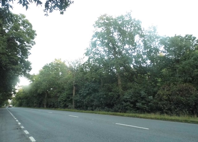
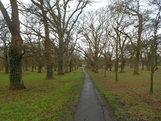
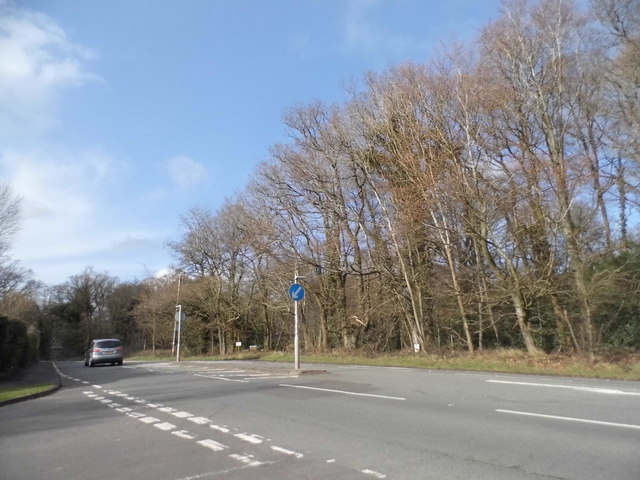
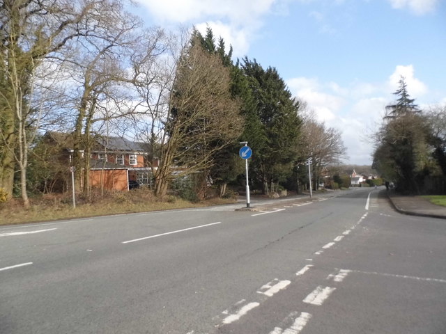
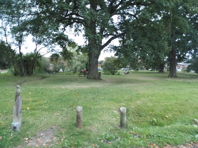
Alder Copse, located in Hampshire, England, is a charming woodland area known for its dense alder trees and diverse wildlife. Spanning approximately 50 acres, this enchanting forest is a popular destination for nature enthusiasts and hikers alike.
The copse boasts a rich history, dating back several centuries. It was once used as a source of timber for shipbuilding during the Napoleonic era. Today, it stands as a protected area, with efforts made to maintain its natural beauty and ecological significance.
The dominant species in Alder Copse is the alder tree, which thrives in the damp and marshy conditions that characterize this woodland. These tall and slender trees create a lush canopy, providing shade and shelter for a variety of flora and fauna.
Walking through Alder Copse, visitors can expect to encounter a diverse range of wildlife. The forest is home to numerous bird species, including woodpeckers, owls, and warblers. The undergrowth teems with small mammals such as voles, shrews, and mice, while the wetland areas attract amphibians like frogs and newts.
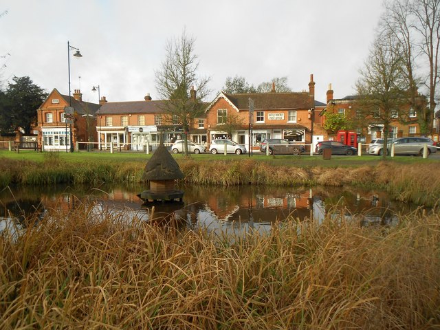
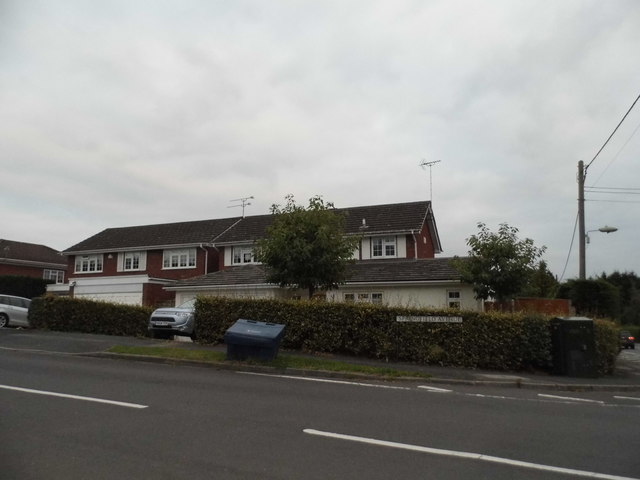
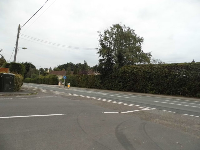
Alder Copse offers a tranquil and serene escape from the bustling nearby towns. It is a haven for nature lovers, photographers, and those seeking a peaceful retreat amidst the beauty of Hampshire's natural landscape. The copse is easily accessible, with well-marked trails and designated picnic areas, making it an ideal destination for a leisurely stroll or a family outing.
If you have any feedback on the listing, please let us know in the comments section below.
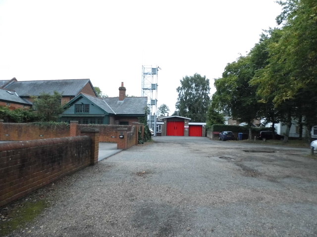
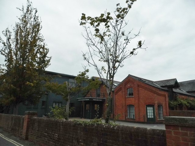
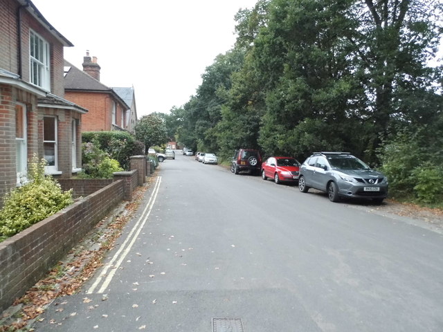
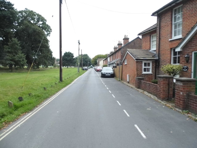
Alder Copse Images
Images are sourced within 2km of 51.310254/-0.88045089 or Grid Reference SU7857. Thanks to Geograph Open Source API. All images are credited.
Alder Copse is located at Grid Ref: SU7857 (Lat: 51.310254, Lng: -0.88045089)
Administrative County: Hampshire
District: Hart
Police Authority: Hampshire
What 3 Words
///crumbles.beard.workflow. Near Hartley Wintney, Hampshire
Related Wikis
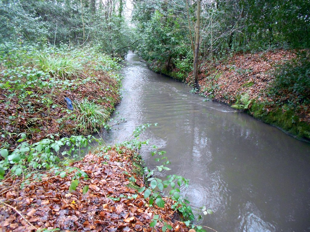
Fleet Brook
Fleet Brook is a small river in northern Hampshire, England and tributary of the River Hart. == Route == The source is somewhere near the town of Fleet...

Hartfordbridge
Hartfordbridge is a small village in the Hart District of Hampshire, England. The village sits on the A30 road and is 2 miles (2.5 km) from Hartley Wintney...
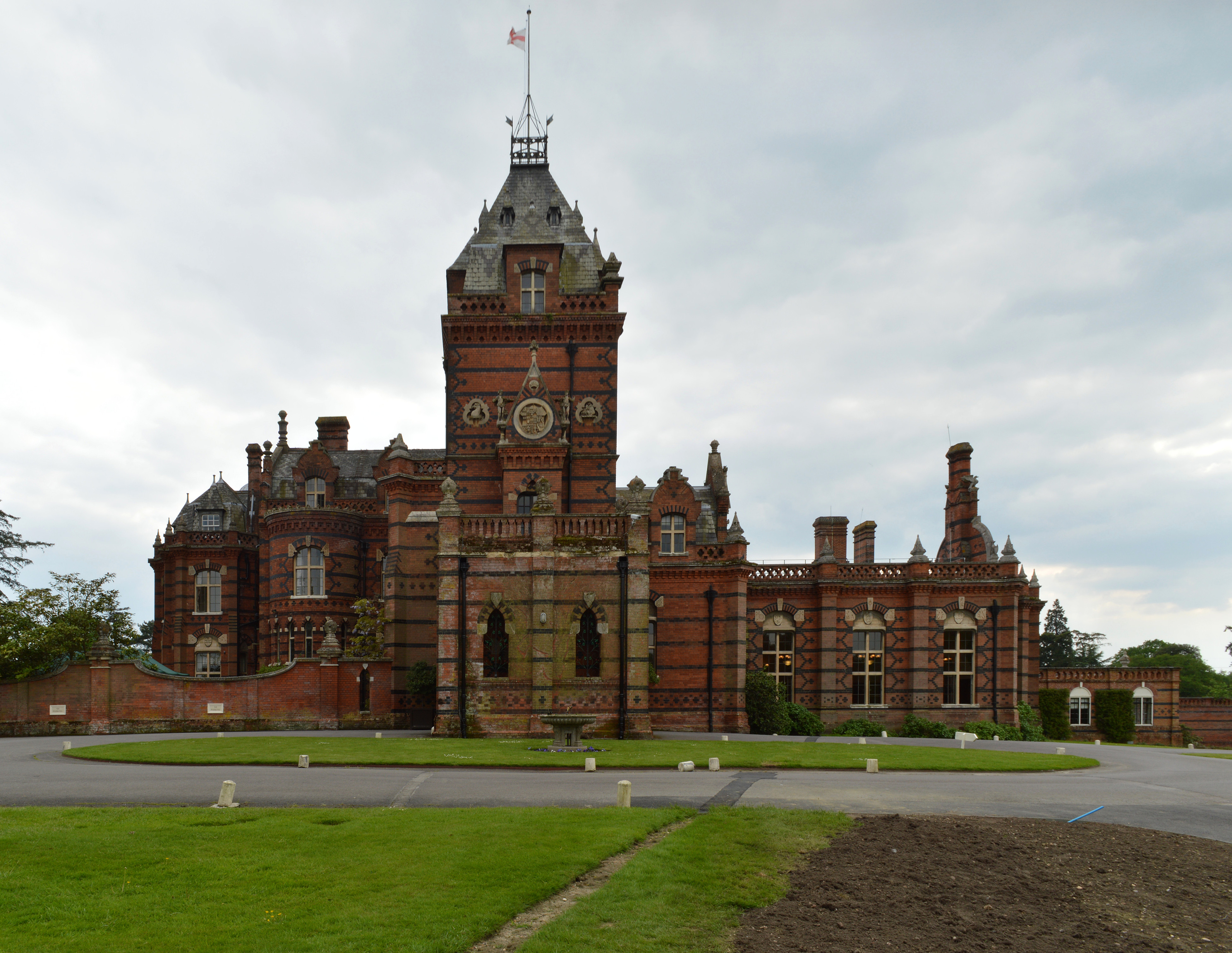
Elvetham Hall
Elvetham Hall is a hotel in Hampshire, England, in the parish of Hartley Wintney about 2 miles (3 km) northwest of Fleet. The building is a High Victorian...

Elvetham air crash
The Elvetham air crash occurred on 5 October 1945 when a Consolidated Liberator GR.VI aircraft, serial number KG867, of 311 Squadron Royal Air Force crashed...

1957 Blackbushe Viking accident
The 1957 Blackbushe Viking accident occurred on 1 May 1957 when an Eagle Aviation twin-engined Vickers VC.1 Viking 1B registered G-AJBO named "John Benbow...

Hartley Wintney
Hartley Wintney is a large village and civil parish in the Hart district of Hampshire, England. It lies about 3 miles (5 km) northwest of Fleet and 8 miles...
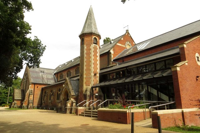
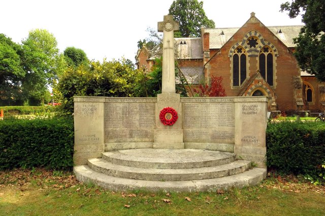
St Mary's Church, Hartley Wintney
St Mary's Church is a redundant Anglican church in the village of Hartley Wintney, Hampshire, England. It is recorded in the National Heritage List for...

2015 Blackbushe Phenom 300 crash
On 31 July 2015, an Embraer Phenom 300 business jet crashed into a car park next to Blackbushe Airport in Hampshire, United Kingdom, while attempting to...
Nearby Amenities
Located within 500m of 51.310254,-0.88045089Have you been to Alder Copse?
Leave your review of Alder Copse below (or comments, questions and feedback).